I met my daughter and her dogs in the village of Torphins before driving to the head of Glen Muick, accessed off the B976 South Deeside Road south of Ballater, where the charge for leaving my vehicle in the car park there was £4.
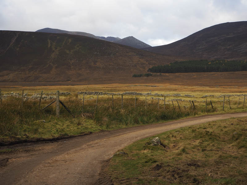
We set off passed the buildings at Spittal of Glenmuick then north-west along the vehicle track across the River Muick and to the buildings at Allt na-giubhsaich. Here the sign-posted route led through the trees to rejoin the vehicle track west of Allt na-giubhsaich.
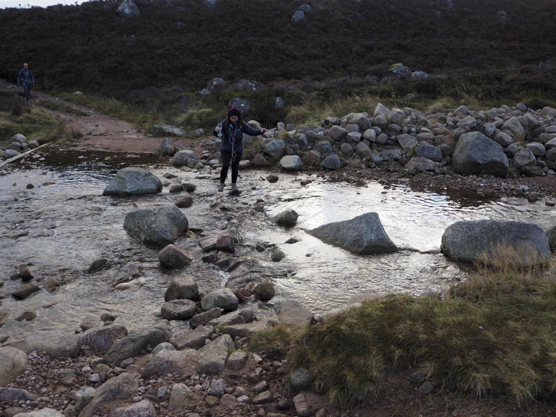
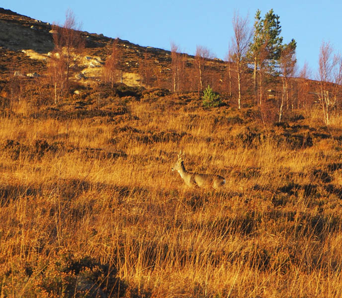
The track led to the crossing of the Allt na Giubhsaich stream, which was fairly low, then we gained height as the track gradually headed for the col below the Corbett, Conachcraig .
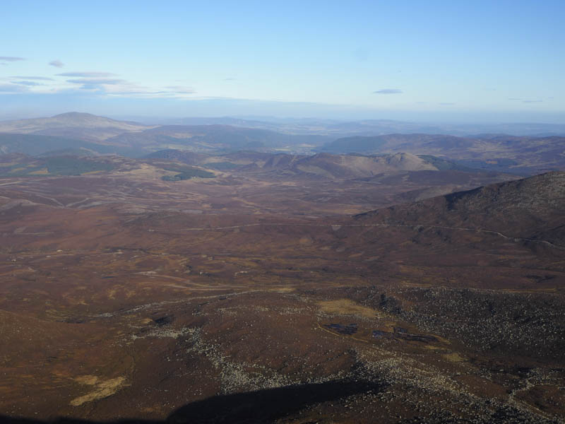
The earlier calm conditions had been replaced by a fairly strong wind. Prior to this col a large cairn marked the start of the path for Lochnagar. Initially there was a slight dip before climbing to the col south of Meikle Pap. On this ascent we met a few folks who had abandoned their ascent due to the strength of the wind.
We walked across to the edge of the corrie to view the loch and the cliffs of Lochnagar before heading up The Ladder where the track had been improved since my last visit.
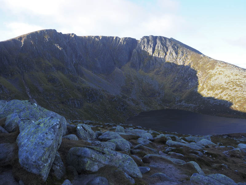
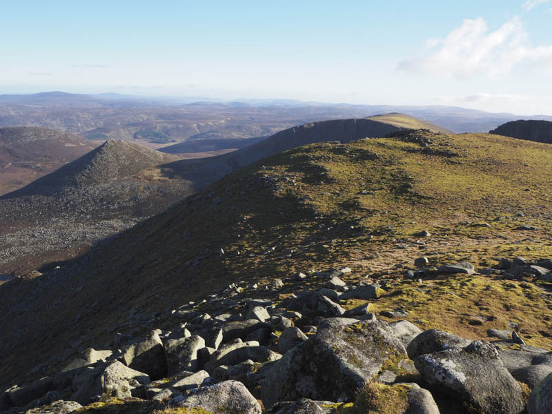
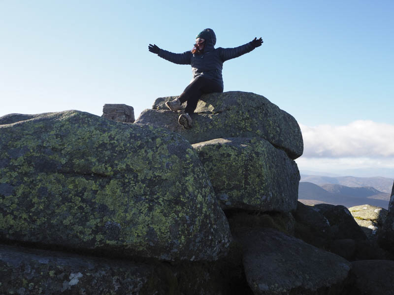
This was probably the windiest section of the walk. Beyond The Ladder there was a slight dip as we passed the head of the Red Spout. Due to the wind we avoided following the rim of the corrie and continued west then north-west on a path that led to the east side of Cac Carn Mor. A further short dip was followed by an easy walk on a wide worn path to Cac Carn Beag, the highest point on Lochnagar. Here a climb through the granite rocks led to the summit of this Munro where the actual high point was a rocky tor north-east of the trig point.
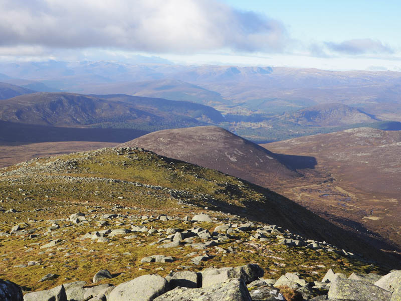
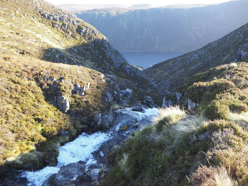
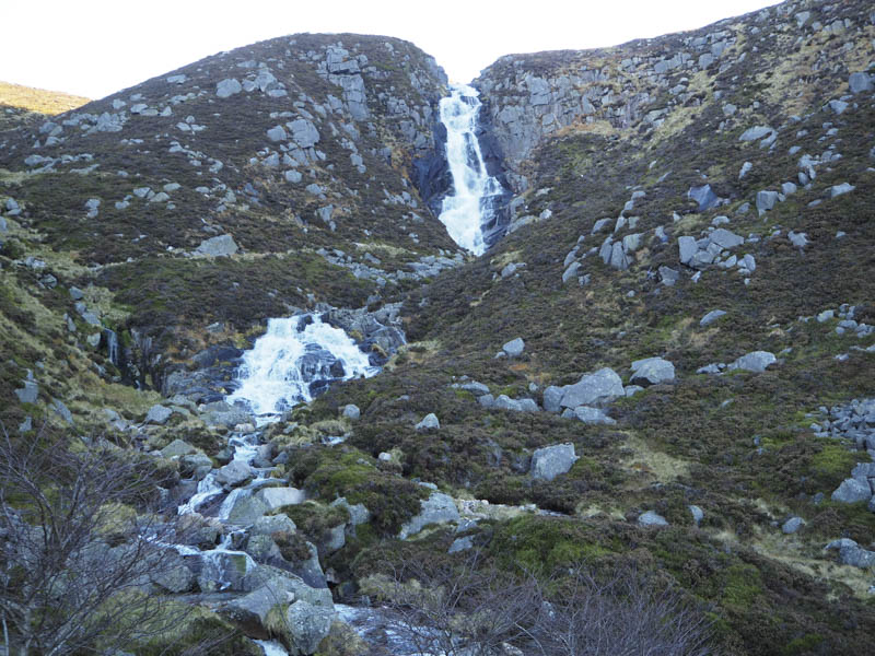
After a break here we returned to Cac Carn Mor then descended south-east on a good quality path above the east side of the Glas Allt.
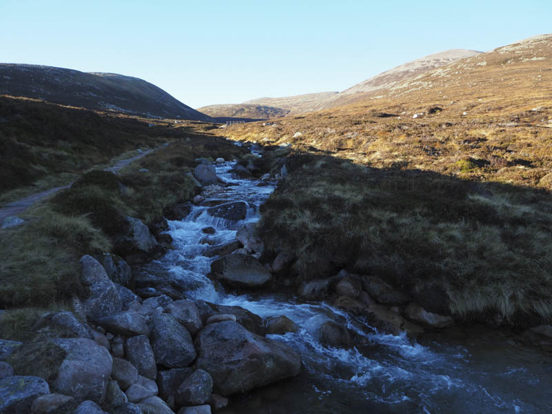
Lower down this stream was crossed via a bridge to reach the top of the Falls of the Glasallt where the path headed away from the stream before returning to the foot of the waterfall.
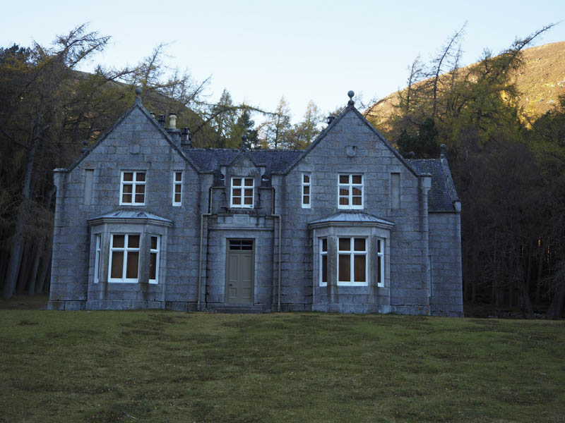
We then continued down the path to the Glass-allt Shiel then along the vehicle track on the north-west side of Loch Muick then a path round its north end.
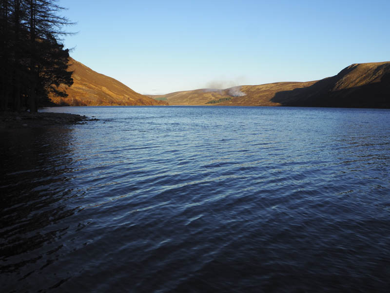
This joined the vehicle track on the opposite side of the River Muick the track taking us back to the car park at the Spittal of Glenmuick.
- Time taken – 7.25 hours.
- Distance – 19.5 kilometres.
- Height climbed – 1030 metres.