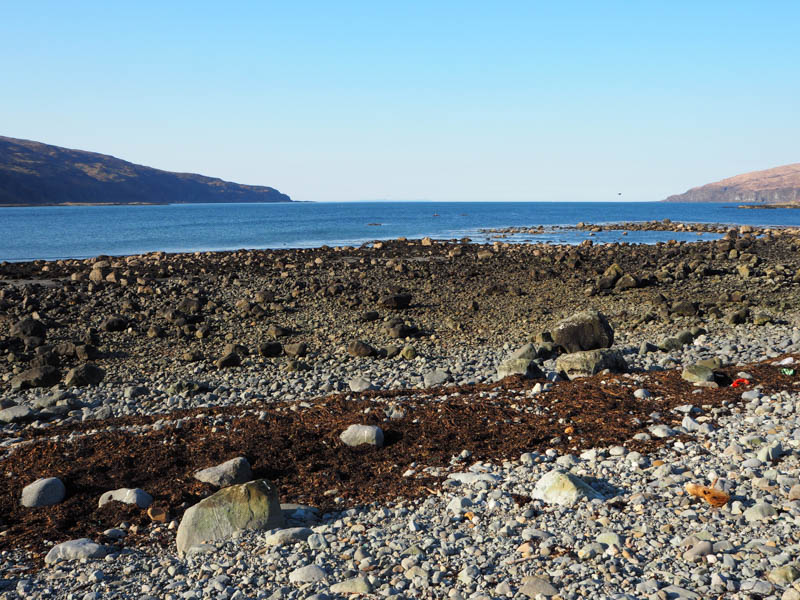
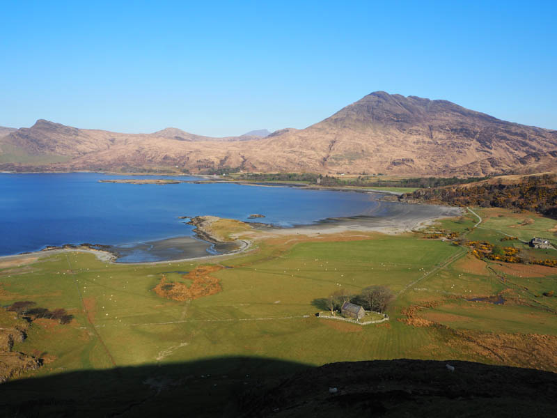
Day three on the Isle of Mull and I decided to drive down to Lochbuie on the south-east side of the Island, reached along a minor single-track road from the A849 at Strathcoil. There is ample parking beside the loch but be aware overnight these spaces are also used by campervans.
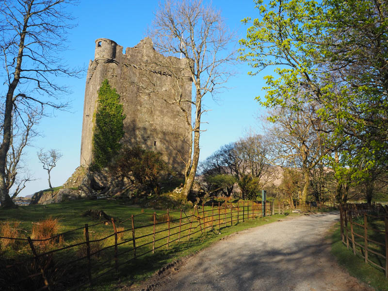
I walked east along the coastal track passing a grassy parking area beside the church which I could have used. On approaching Lochbuie House there was a path nearer the water avoiding this property, returning to the road beside Moy Castle.
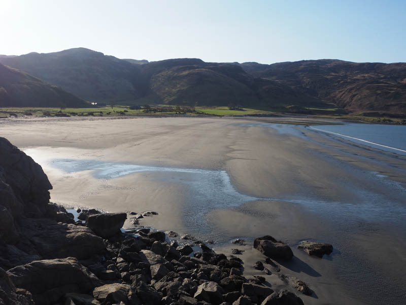
The track turned south above Laggan Sands and to the west of Laggan Lodge and The Bothy, coming to an end at the Chapel.
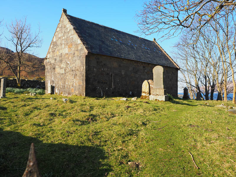
After checking out the Chapel I crossed a grassy field with some rushes to a gap in a tall fence then onto the ridge on the west side of the Allt a’ Bhaird gully, later coming across what appeared to be an old stalkers path.
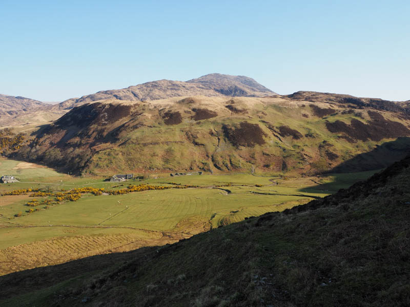
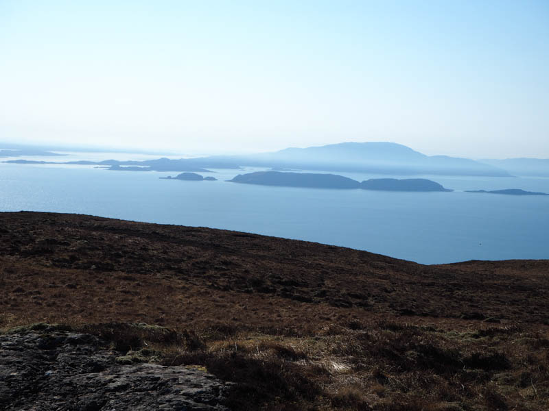
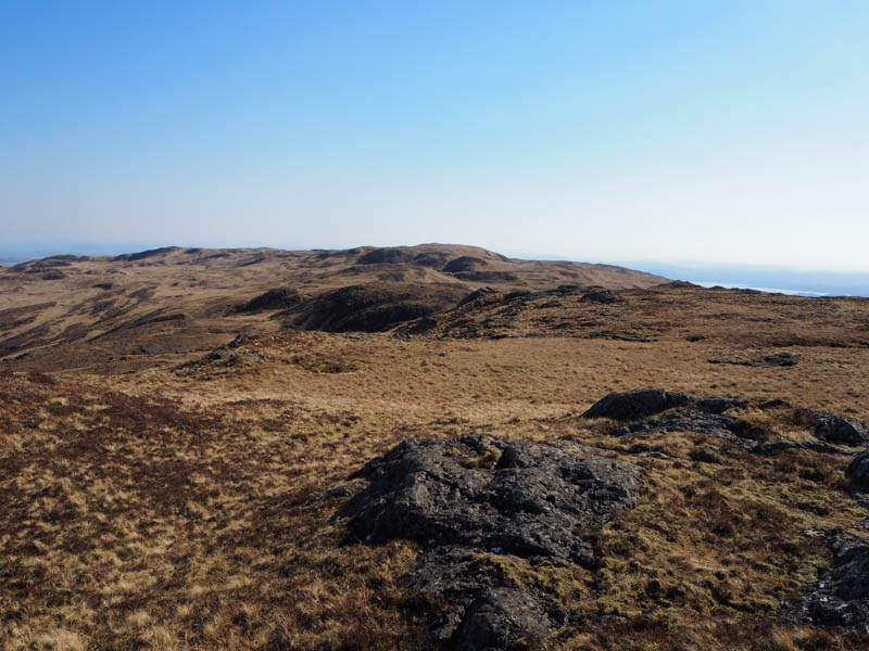
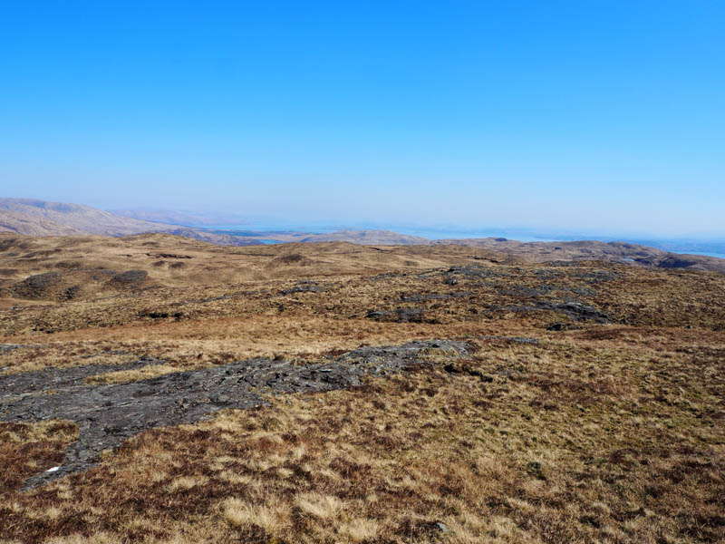
At times it wasn’t always obvious but took me through crags and beyond Maol na Luachrach, although at times I may have been on animal trails. The gradient later eased with dry dead vegetation crossing a few small gullies to reach Beinn a’ Bhainne. The highest point of this Tump was marked by an outcrop. It had been warm work in sunny and cloud-free conditions but unfortunately the views including those out over the Firth of Lorn were rather hazy.
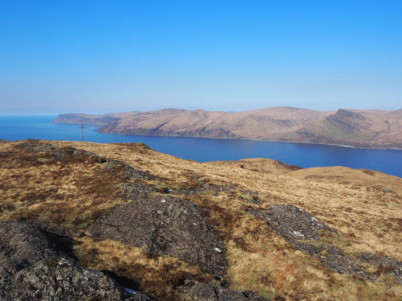
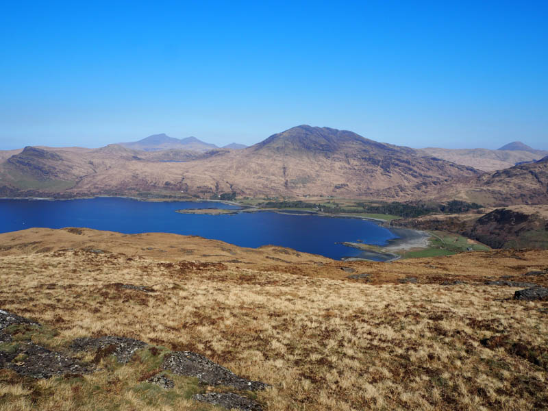
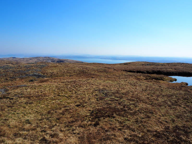
I sat at the summit for a while before descending E then ENE to the south side of Lochan na Craoibhe-caoruinn. A few craggy knolls were avoided as I headed for the Sub 2K Marilyn, Druim Fada, the summit marked by a trig point although apparently ground 10 metres to the west was higher.
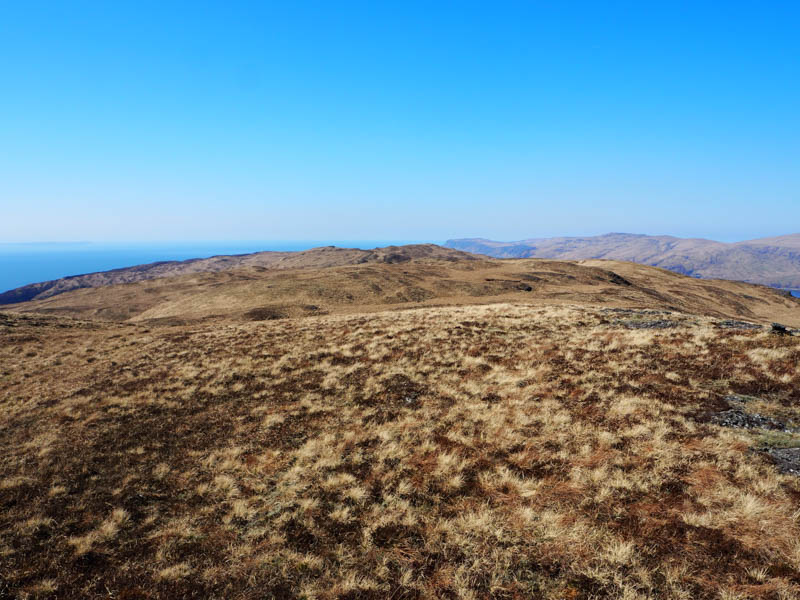
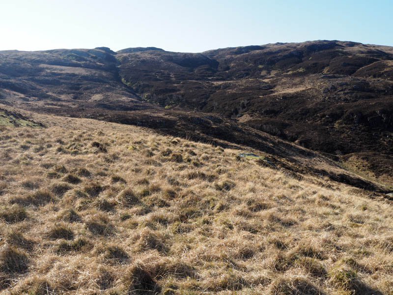
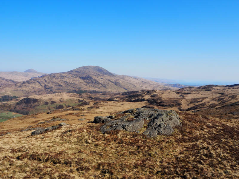
The descent NW then NNW was across rough vegetation with several animal trails to make things easier and led to Maol a’ Bhuird where the gradient steepened. It was then an awkward drop through some crags and heather to return to the grassy field and the track back to Lochbuie.
- Time taken – 4 hours 50 mins.
- Distance – 13.5 kilometres.
- Height climbed – 555 metres.