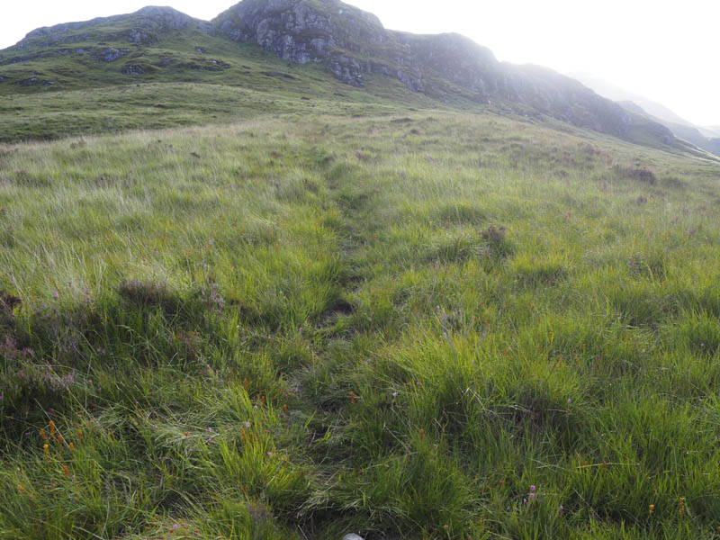
I parked on rough ground on the north side of the B863 Glencoe Village to Kinlochleven Road immediately west of the bridge over the Allt Gleann a’ Chaolais on the south side of Loch Leven. Once geared up we crossed this bridge then found the start of the rough and in places wet and boggy path that headed south-east up Gleann a’ Chaolais.
After gaining a bit of height we located the path onto the south-west ridge of the Corbett, Garbh Beinn.
Initially grassy and on an easy gradient it soon steepened as the route headed between some boulders onto the ridge and Torran na Crann.
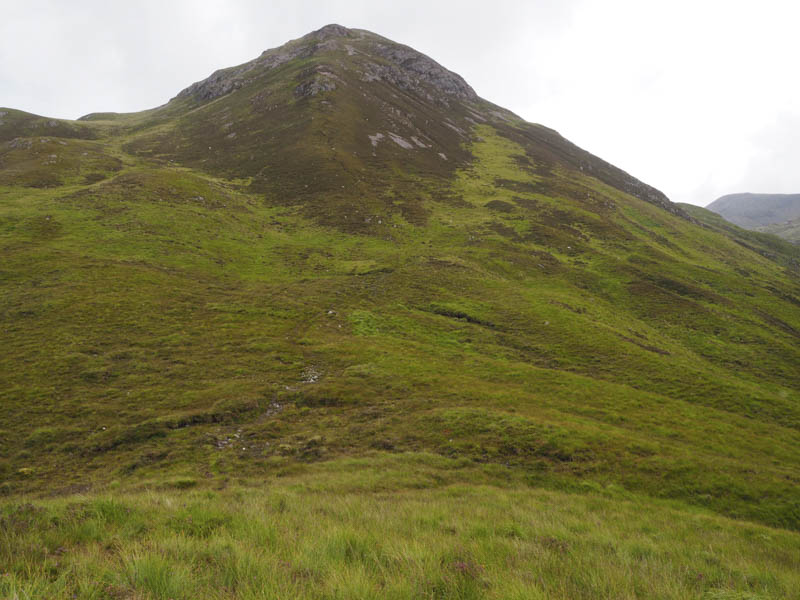
It was then a fairly easy walk following a path, sometimes wet, to Stob Coire Sgoilte. Beyond a short dip, it was a fairly steep climb on stony paths with occasional scree the gradient only easing just before reaching the cairn marking the summit of the Corbett, Garbh Bheinn.
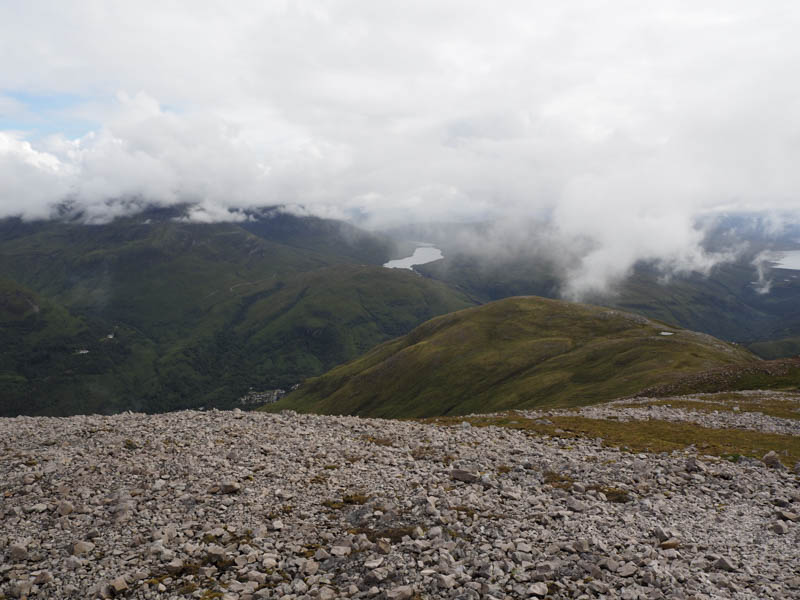
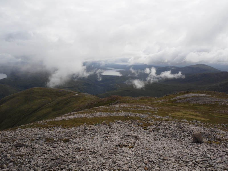
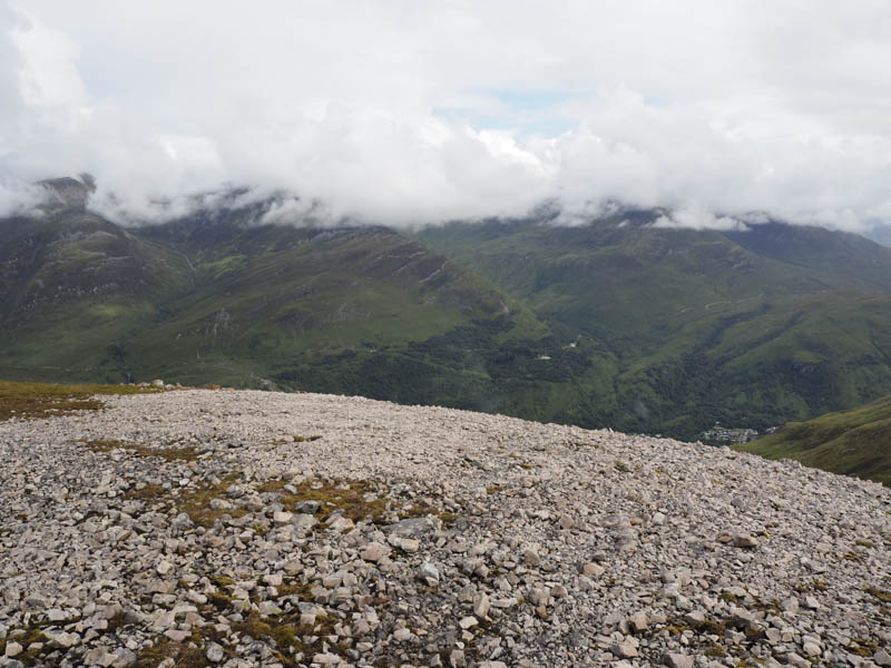
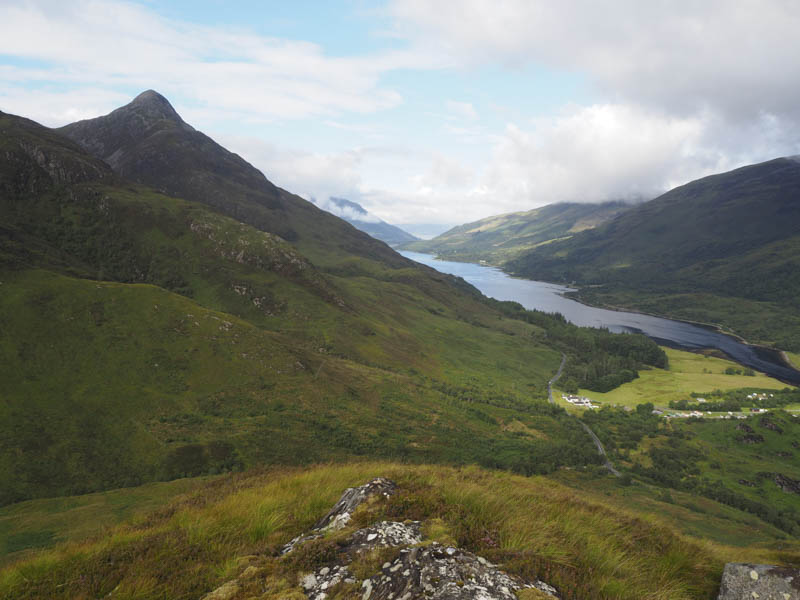
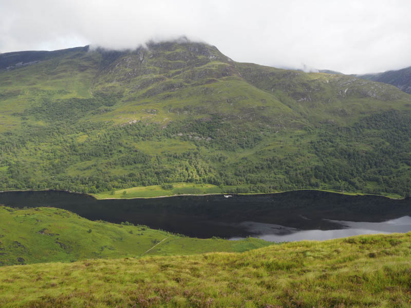
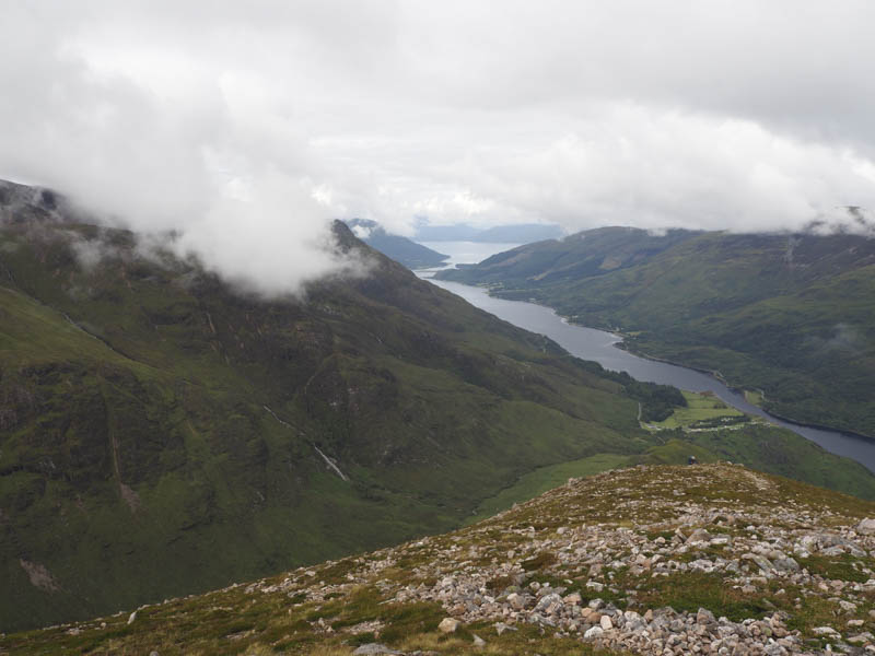
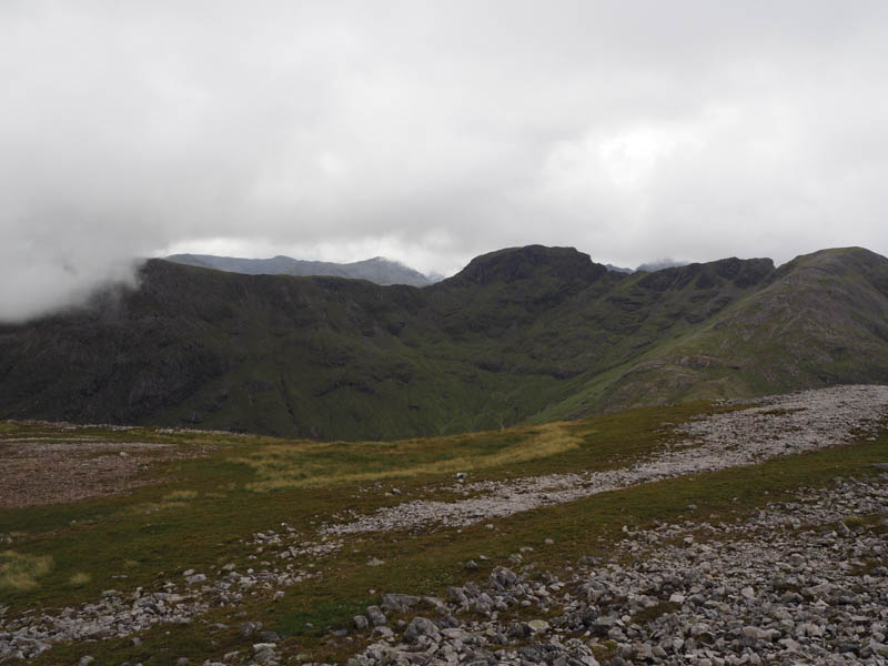
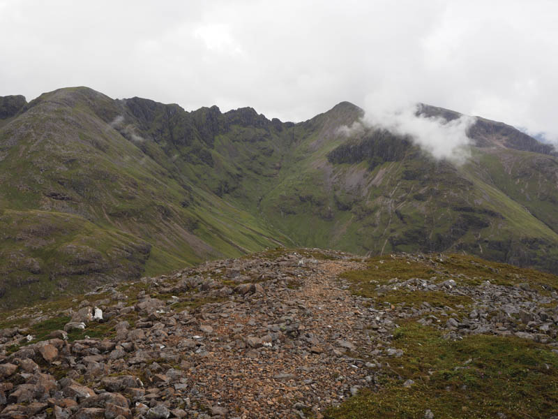
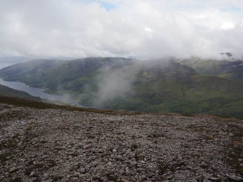
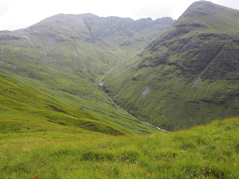
Cloud was floating around but we still managed some reasonable views in particular of the Aonach Eagach.
After a break here we returned by the upward route.
- Time taken – 5 hours.
- Distance – 6.25 kilometres.
- Height climbed – 835 metres.