The plan was to climb the Corbett, Mam na Gualainn, on an east to west traverse starting from the B863 on the western outskirts of Kinlochmore at the head of Loch Leven. I obtained a lift to the start from some hill walking friends who were headed to the Mamore Munros.
On the outskirts of Kinlochmore I followed the West Highland Way which left the B863 and climbed through the trees crossing the tarred road that led to the now unoccupied Mamore Lodge.
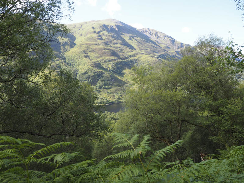
The path later cleared the trees before joining the vehicle track that ran along the foot of the Mamores. The midges were pretty bad so now the gradient had eased it was time to speed up!
After a kilometre walking west along this track I came to a small cairn which marked the point where I left the West Highland Way and descended to the Allt Nathrach on a wet and boggy path. Once over the bridge a drier, rockier and fairly steep path took me up Beinn na Caillich’s East Ridge.
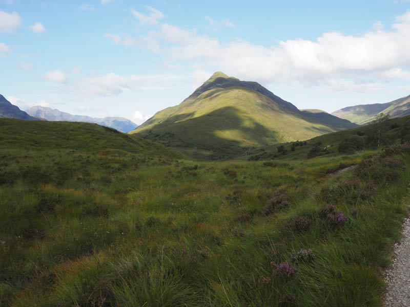
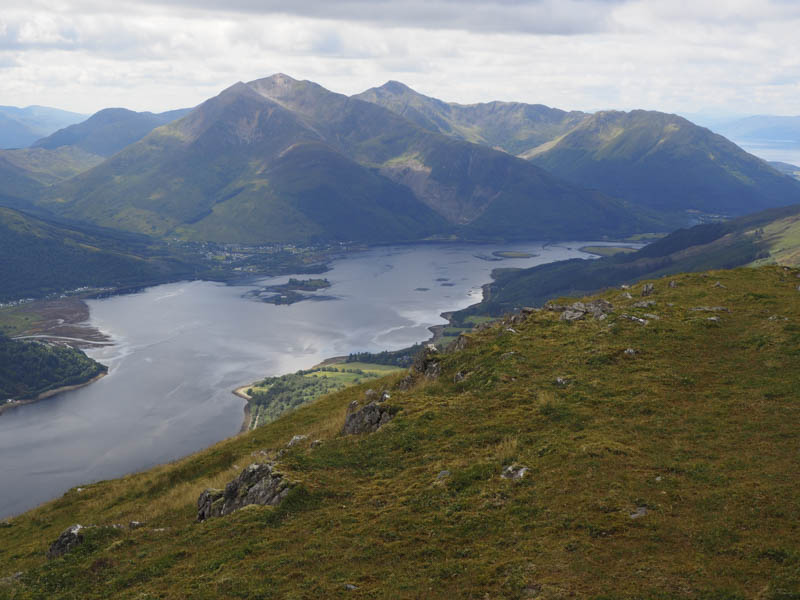
Higher up the gradient eased then there was a section of fairly easy walking to reach the foot of Beinn na Caillich’s steep east face. A zigzag path then led to the summit of this Hump and Corbett Top which was marked by a collapsed cairn. With a slight breeze keeping the midges away I took a break taking in some grand views.
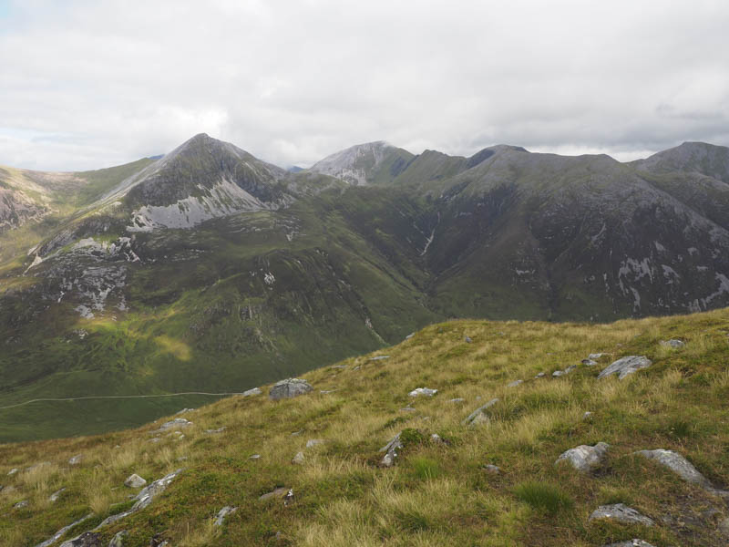
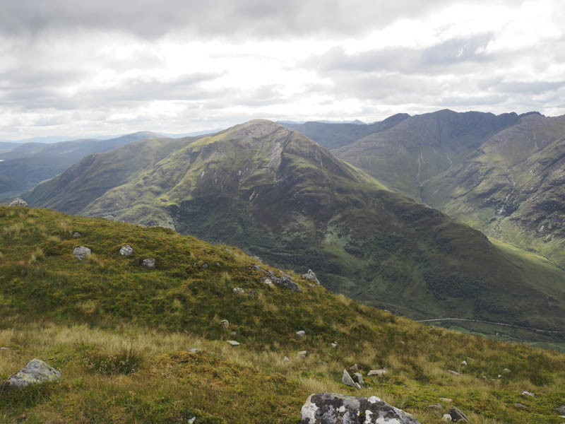
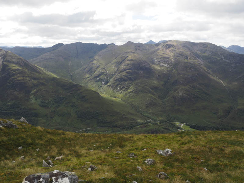
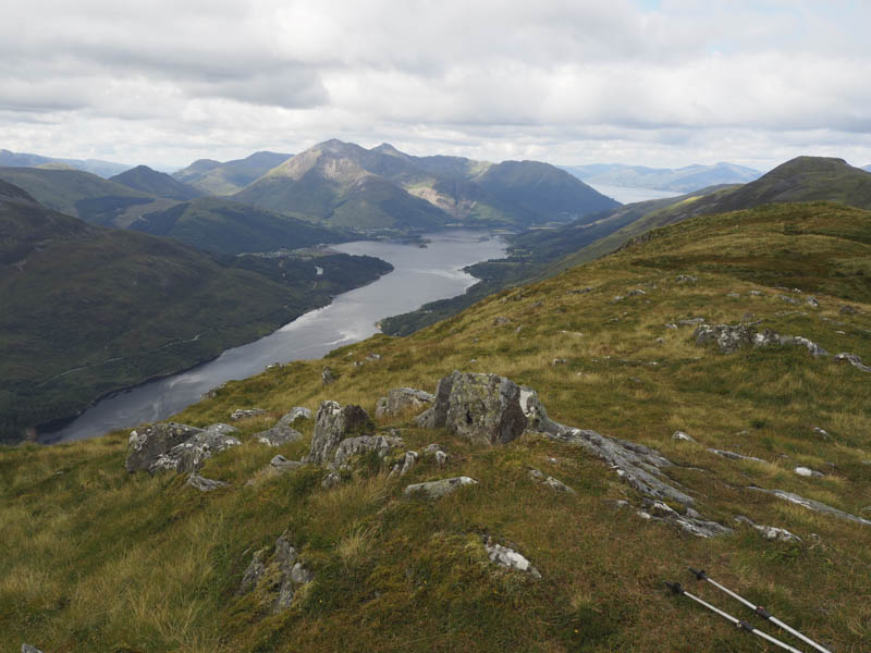
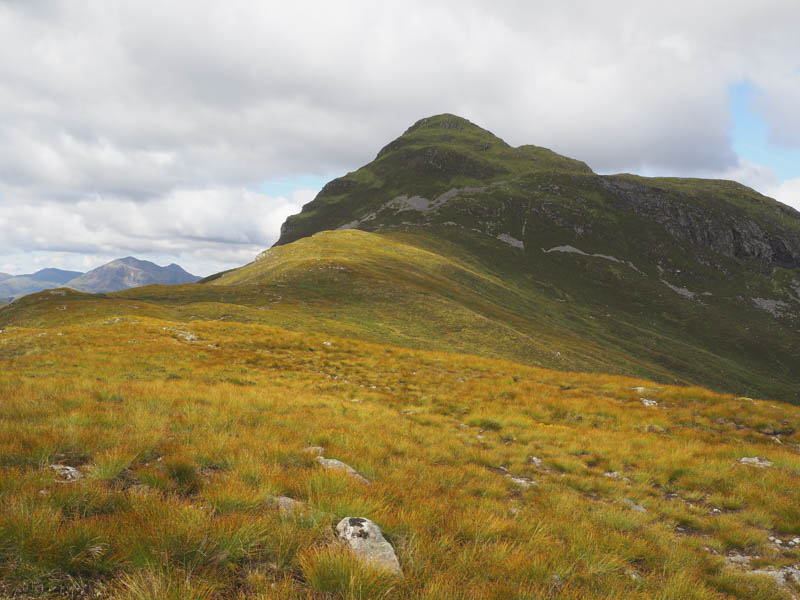
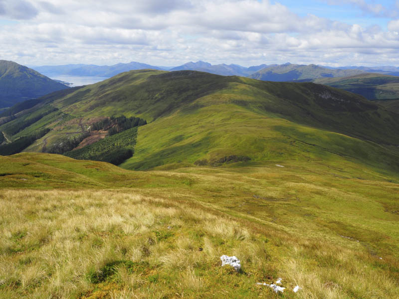
Later I made the gradual descent west before climbing onto the Graham Top, Mam na Gualinn East Top, where I spotted a large number of folks on the summit of Mam na Gualinn.
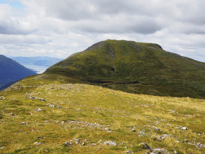
After a short loss of height I commenced the ascent of this hill en-route passing thirteen walkers who all appeared foreign. I chatted briefly with their guide, who had his dog with him, and learned that they were doing my route the opposite direction before heading back to their hotel in Kinlochleven.
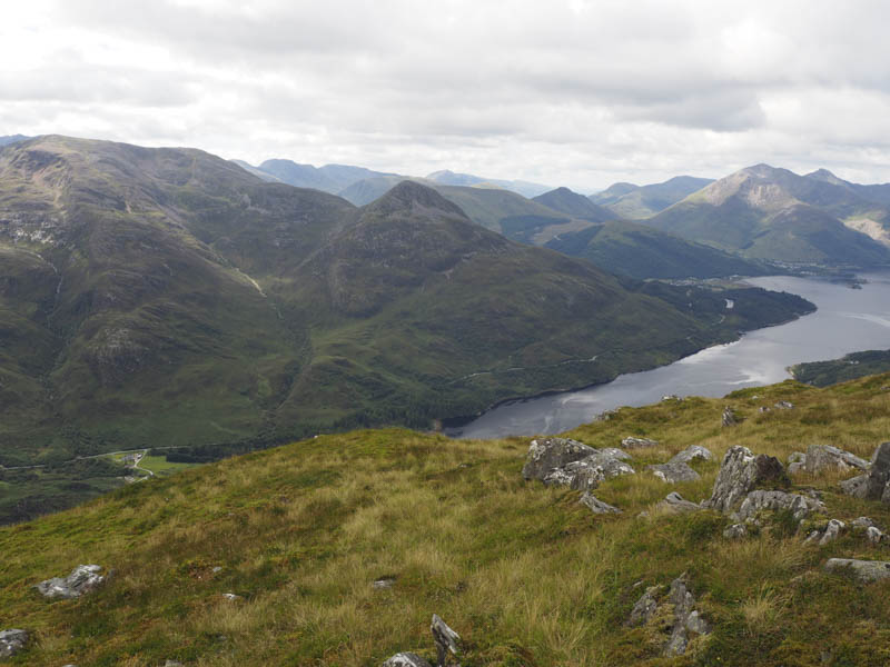
The cairn marking the summit of Mam na Gualinn was gained. I also visited the nearby trig point where there was a plaque in memory of a Marine.
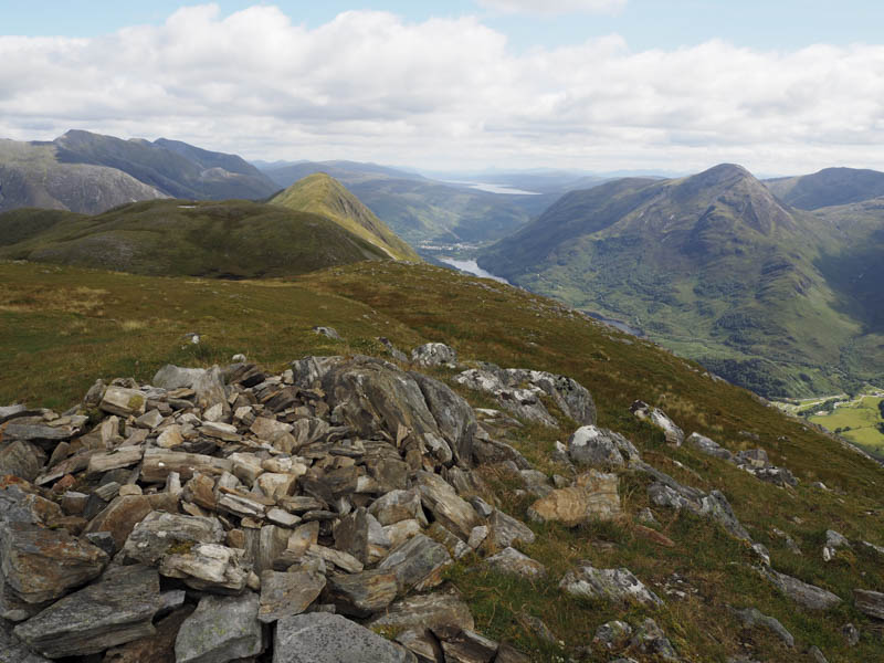
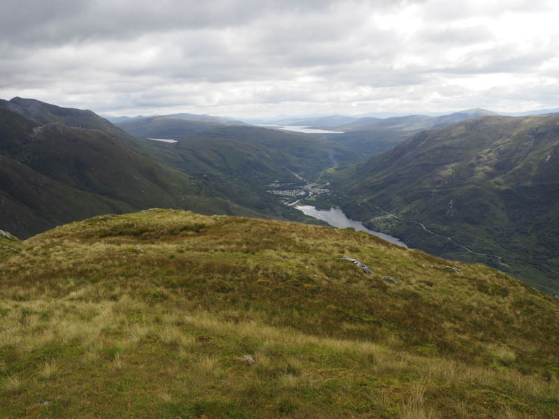
After enjoying some more fine views I descended south-west initially on a path but lower down it disappeared amongst the long vegetation.
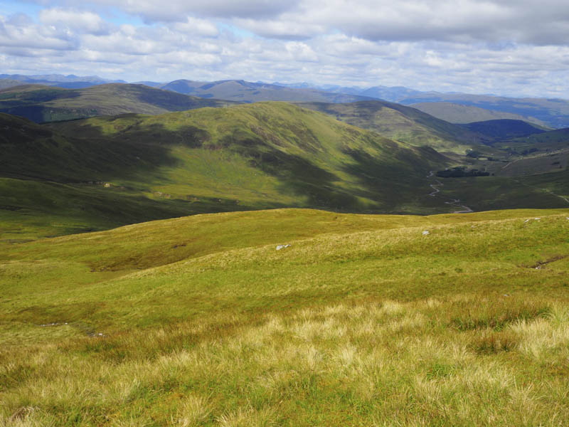
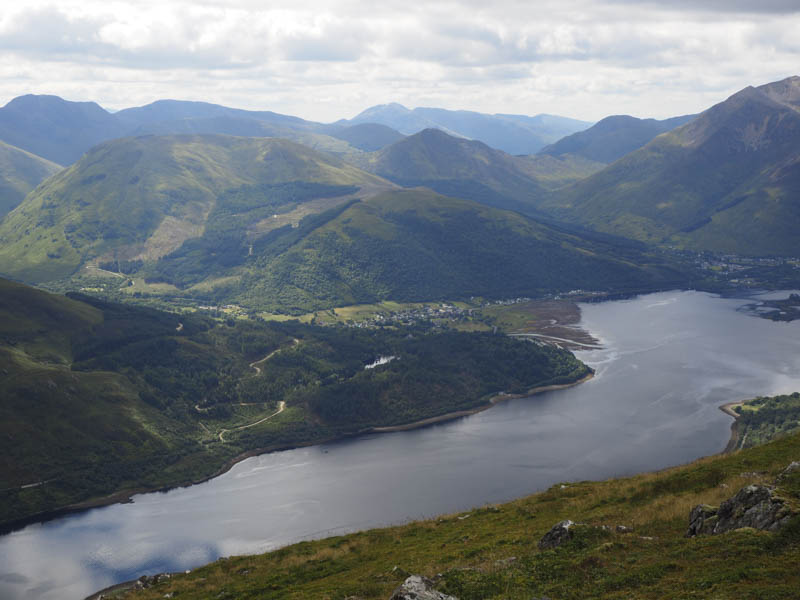
I eventually reached the Right of Way which headed from Callert, on the north shore of Loch Leven, to the col east of Tom Meadhoinn and onto Lairigmor on the West Highland Way.
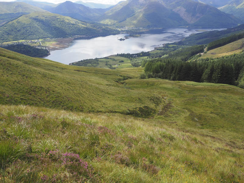
I descended via this wet and boggy path, which in places had been churned up by quad vehicles, to reach Callert where I had left my vehicle.
- Time taken – 5.5 hours.
- Distance – 11.5 kilometres.
- Height climbed – 1020 metres.