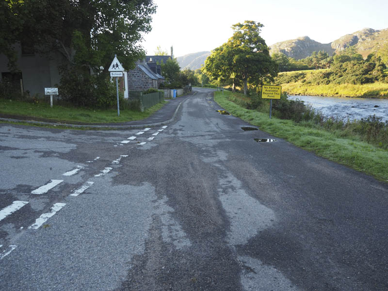
I left my vehicle in the car park at Poolewe on the east side of the River Ewe immediately south of the A832. It was a pleasant sunny morning, there had been a touch of grass frost, as I walked south on a tarred road passed a few houses with several no parking signs and onto the private road leading to Kernsary which was tarred as far as the house at Inveran.
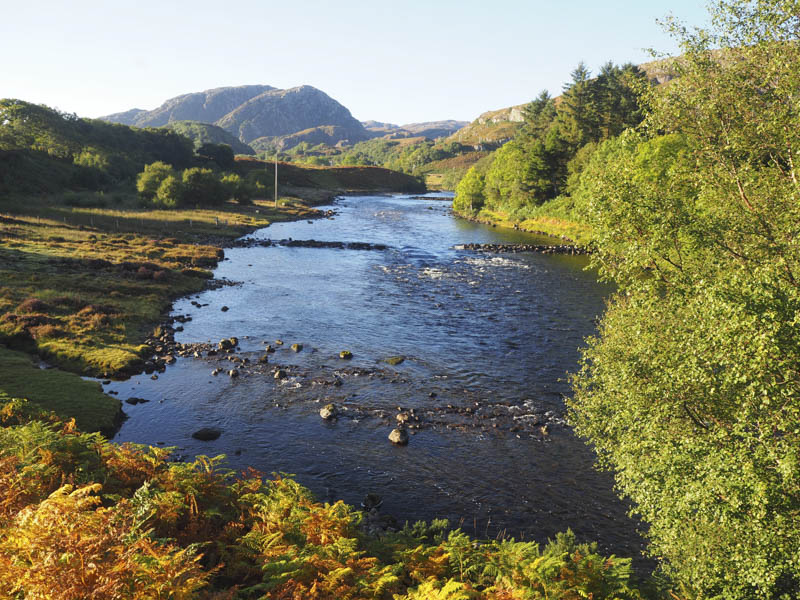
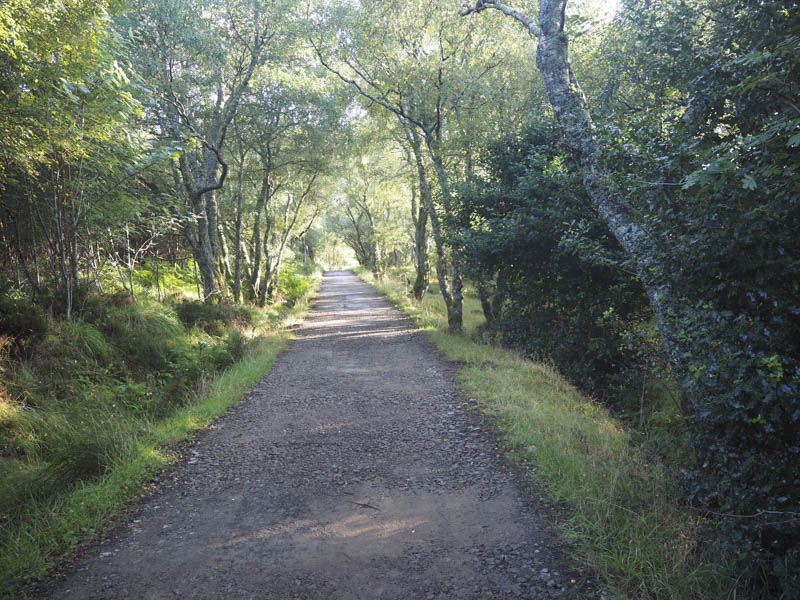
Beyond, the hardcore vehicle track left the side of the River Ewe and headed east through the woods emerging from the trees before the outflow from Loch na h-Airde Bige and a gate in the deer fence.
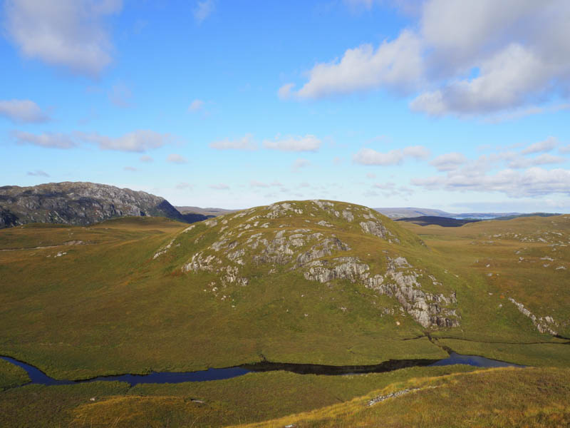
A short distance further on a rocky, wet and boggy path left this vehicle track and headed south below Slios Dubh. I diverted from the path and climbed this Tump then from its summit descended south-east to join the Kernsary to Ardlair vehicle track.
I had another three Tumps in mind before heading for Beinn Airigh Charr so I left the vehicle track, crossed some boggy ground, and climbed to the summit of Carn Loch Tolldhoire.
A steep descent then led to some long and tussoky vegetation and to one of the inflows of Loch Tholldhoire. It was too deep and wide to wade or jump across so I diverted upstream until a suitable crossing point was found and from there I climbed Uchd Mhurcadh.
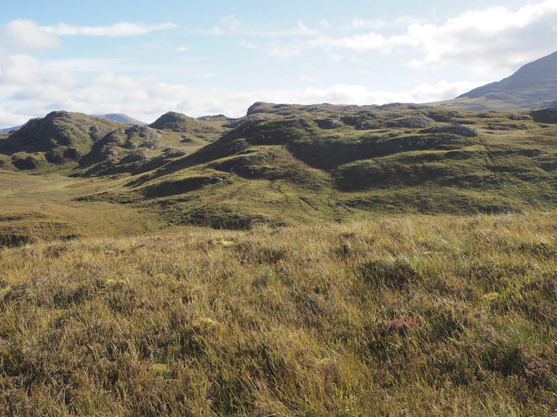
It was then an easy descent east before climbing Carn Toll-doire with lots of undulations and several knolls to walk round or cross.
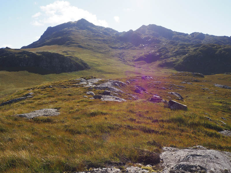
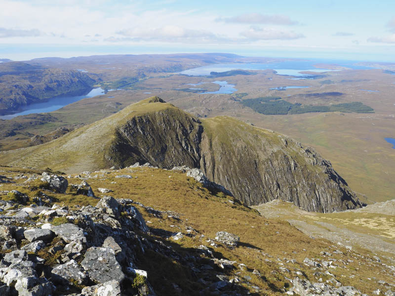
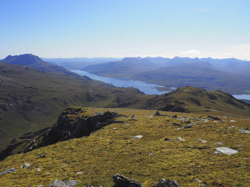
The descent south led to the rough and wet path for Beinn Airigh Charr. Initially it was on an easy gradient before steepening as the path zigzagged into Coire nan Dearcag before easing as I headed for the col between Meall Chnaimhean and Beinn Airigh Charr. From there I climbed the rocky Graham Top, Meall Chnaimhean, where there were good views of Loch Maree and the mountains of Torridon.
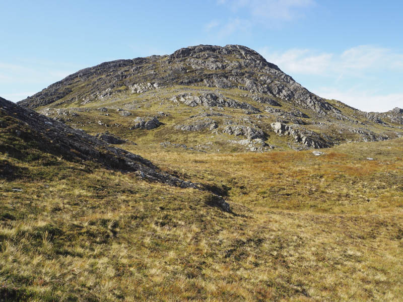
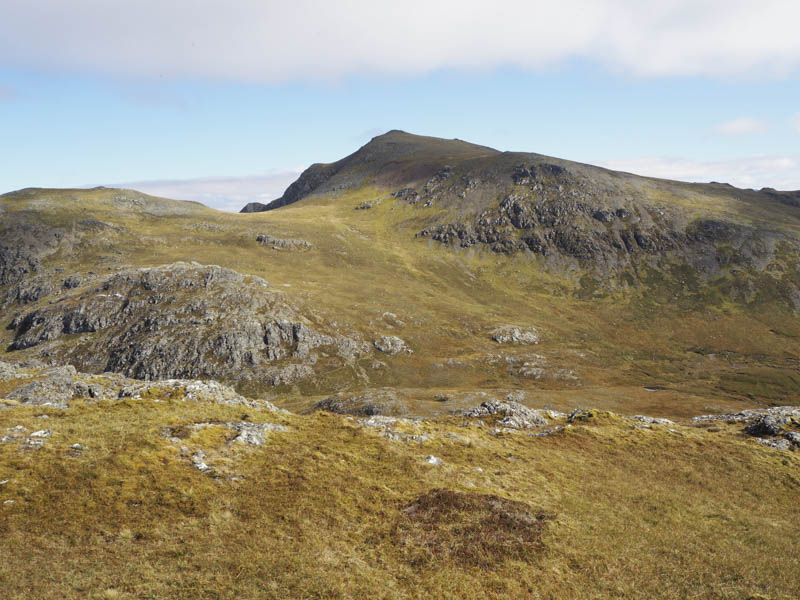
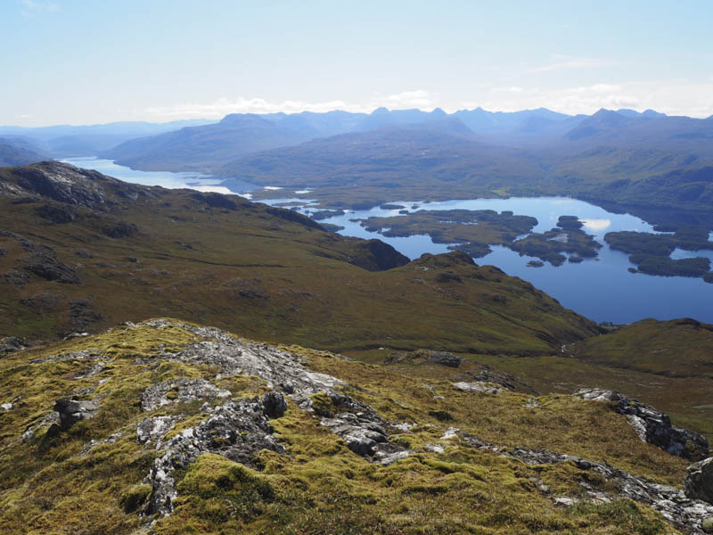
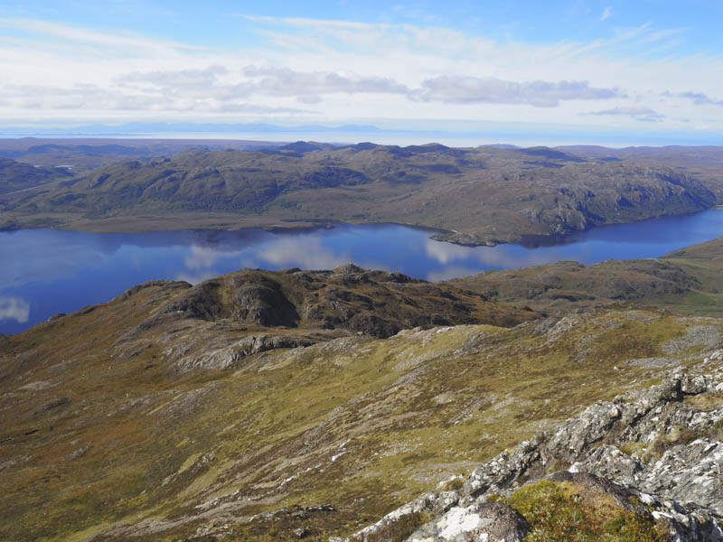
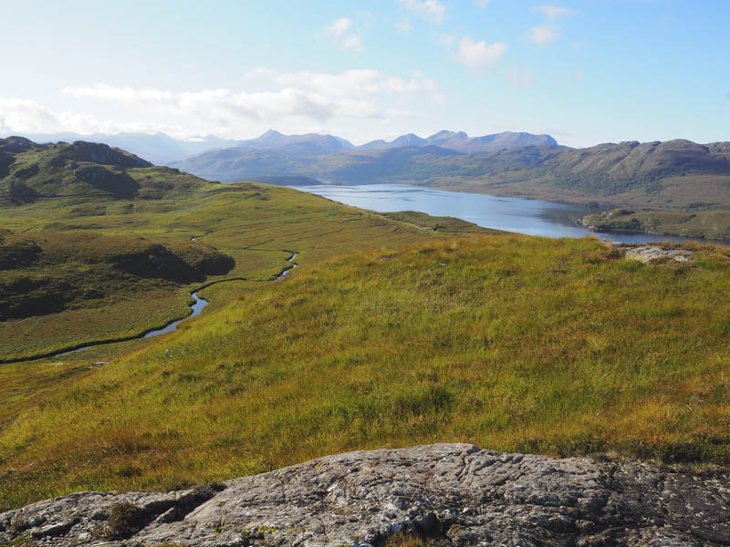
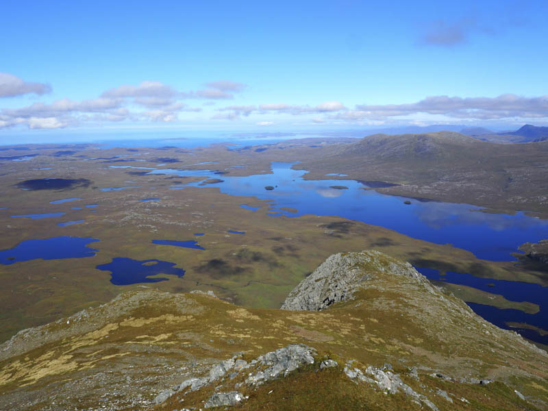
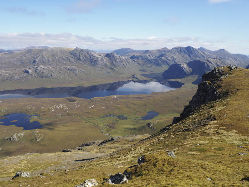
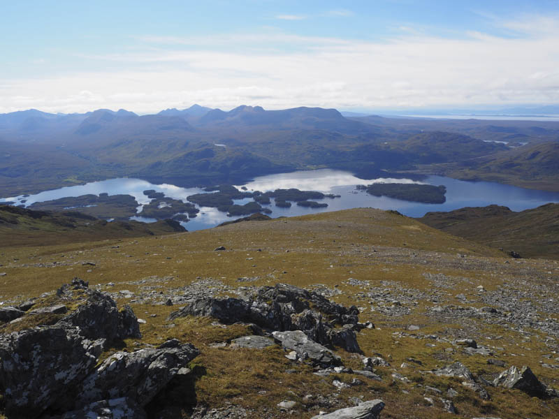
Once back at the col I ascended the Corbett, Beinn Airigh Charr, and here took a break with fine views across the Fionn Loch to the Fisherfield Mountains.
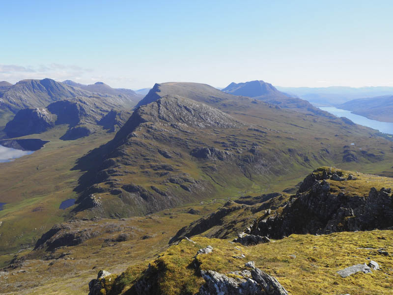
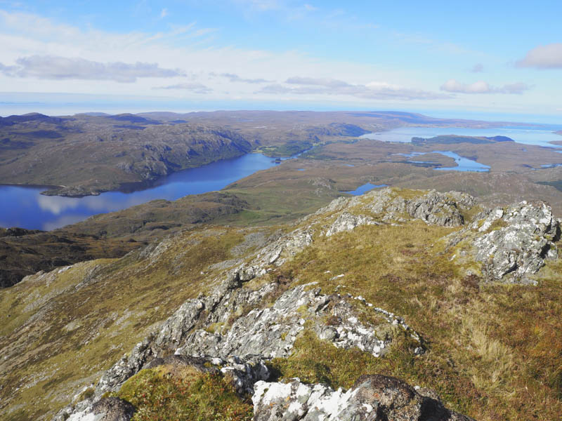
I later headed for and climbed the Graham Top, Spidean nan Clach, my final hill of the day. From there I descended back to the col with Meall Chnaimhean then down the path through Coire nan Dearcag to the Ardlair/Kernsary vehicle track.
A walk north led to a cairn marking the start of the path by-passing Kernsary but the path wasn’t obvious or maybe even non-existent as it crossed some wet and marshy ground. Later the path became visible and I came to the point where I had left it earlier in the day. From there I followed the outward route back to Poolewe.
- Time taken – 9.25 hours.
- Distance – 25.5 kilometres.
- Height climbed – 1400 metres.