I arrived in Bridge of Gaur at the south-west end of Loch Rannoch and left my vehicle in the parking area adjacent to Georgetown Hall then walked the short distance east to the road bridge over the Allt an Fheadain.
![Start of walk](https://scotlandhills.net/wp-content/uploads/2020/07/01-Start-of-walk.jpg)
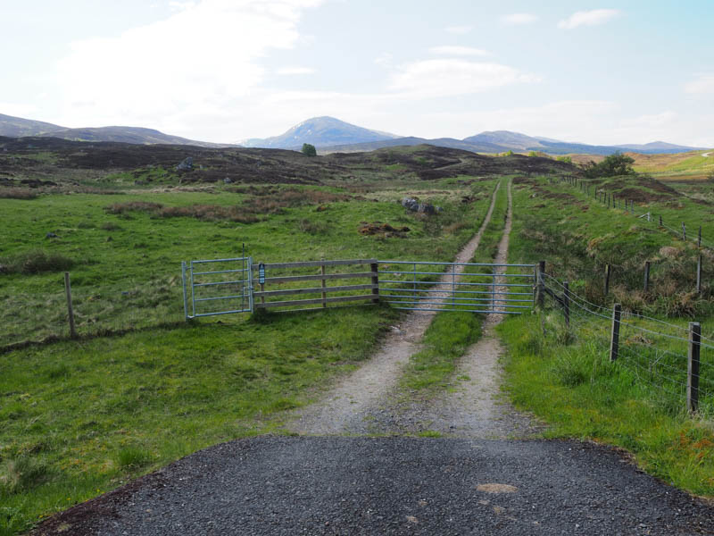
Here I passed through a pedestrian gate and headed south along the vehicle track above this stream then later its tributary the Allt a’Mheanbh-chruidh.
![Leagag](https://scotlandhills.net/wp-content/uploads/2020/07/02-Leagag.jpg)
![Meall Chomraidh](https://scotlandhills.net/wp-content/uploads/2020/07/03-Meall-Chomraidh.jpg)
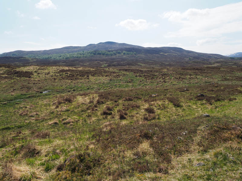
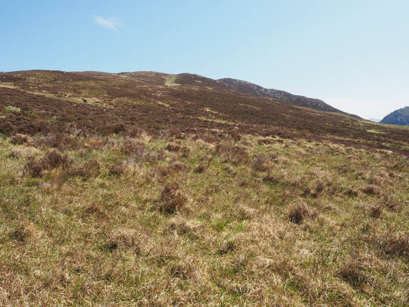
After less than 2.5 kilometres I came to the start of the path, marked by a cairn, which ran below the south face of Leagag.
![Path below Leagag](https://scotlandhills.net/wp-content/uploads/2020/07/04-Path-below-Leagag.jpg)
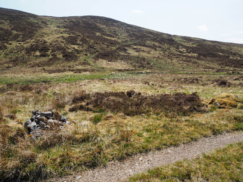
The path would normally be wet and boggy in sections but on this visit, due to the recent dry spell, most of the bog had dried out.
![Route onto Leagag](https://scotlandhills.net/wp-content/uploads/2020/07/05-Route-onto-Leagag.jpg)
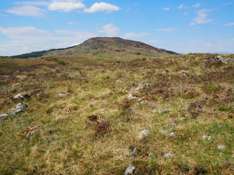
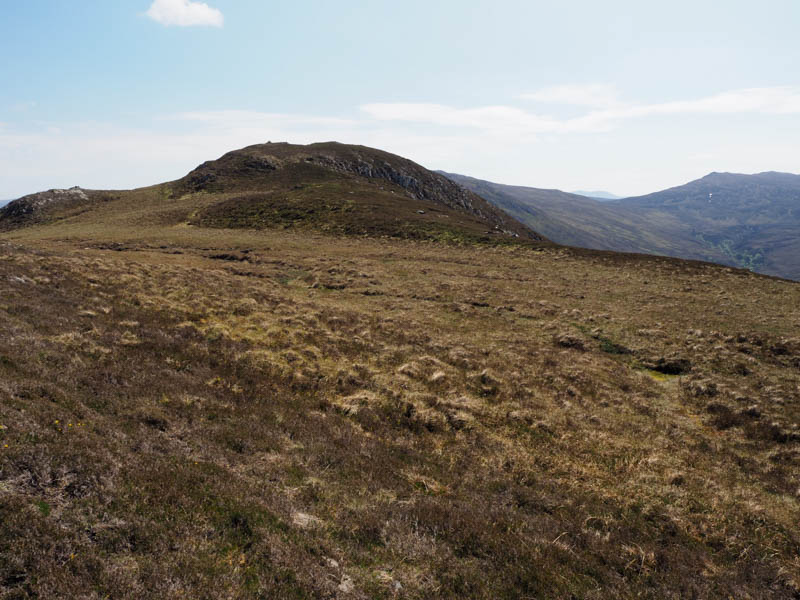
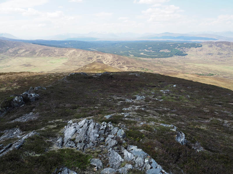
On gaining a bit of height I left this path, climbed through some heather, and located a deer path that took me onto the west ridge of Leagag. It was then an easy climb through more heather and some rock before a short steeper section led to the summit of this Marilyn.
![Summit, Leagag](https://scotlandhills.net/wp-content/uploads/2020/07/06-Summit-Leagag.jpg)
![Cross Craigs](https://scotlandhills.net/wp-content/uploads/2020/07/07-Cross-Craigs.jpg)
![Meall an Stalcair, Meall Buidhe and Garbh Mheal](https://scotlandhills.net/wp-content/uploads/2020/07/08-Meall-an-Stalcair-Meall-Buidhe-and-Garbh-Mheal.jpg)
![Rannoch Moor. Black Mount and the Glencoe Mountains beyond](https://scotlandhills.net/wp-content/uploads/2020/07/09-Rannoch-Moor.-Black-Mount-and-the-Glencoe-Mountains-beyond.jpg)
![Rannoch Moor, White Corries and Glen Coe Mountains zoomed](https://scotlandhills.net/wp-content/uploads/2020/07/10-Rannoch-Moor-White-Corries-and-Glen-Coe-Mountains-zoomed.jpg)
![Rannoch Moor. Stob na Cruaiche beyond](https://scotlandhills.net/wp-content/uploads/2020/07/11-Rannoch-Moor.-Stob-na-Cruaiche-beyond.jpg)
![Sron Smeur and Loch Rannoch](https://scotlandhills.net/wp-content/uploads/2020/07/12-Sron-Smeur-and-Loch-Rannoch.jpg)
![Loch Rannoch and towards the West Drumochter Hills](https://scotlandhills.net/wp-content/uploads/2020/07/13-Loch-Rannoch-and-towards-the-West-Drumochter-Hills.jpg)
![Lochs Monaghan and Rannoch and Schiehallion](https://scotlandhills.net/wp-content/uploads/2020/07/14-Lochs-Monaghan-and-Rannoch-and-Schiehallion.jpg)
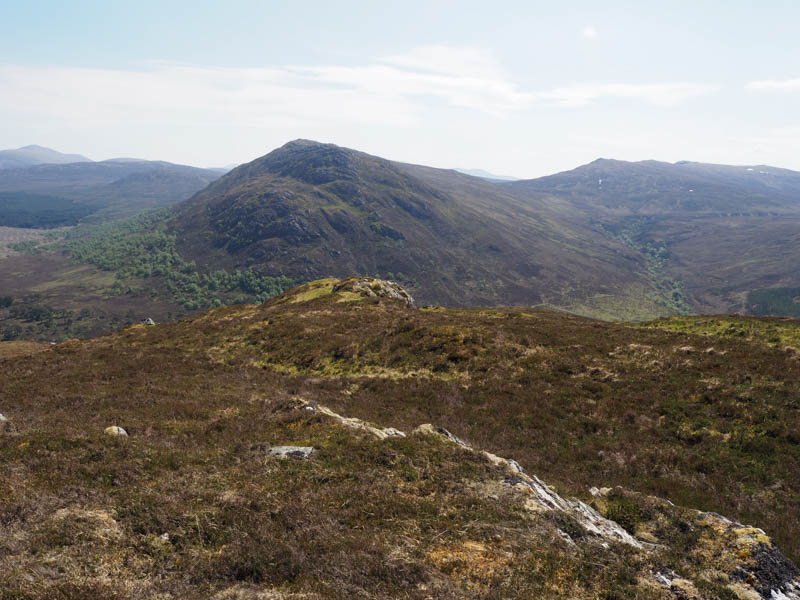
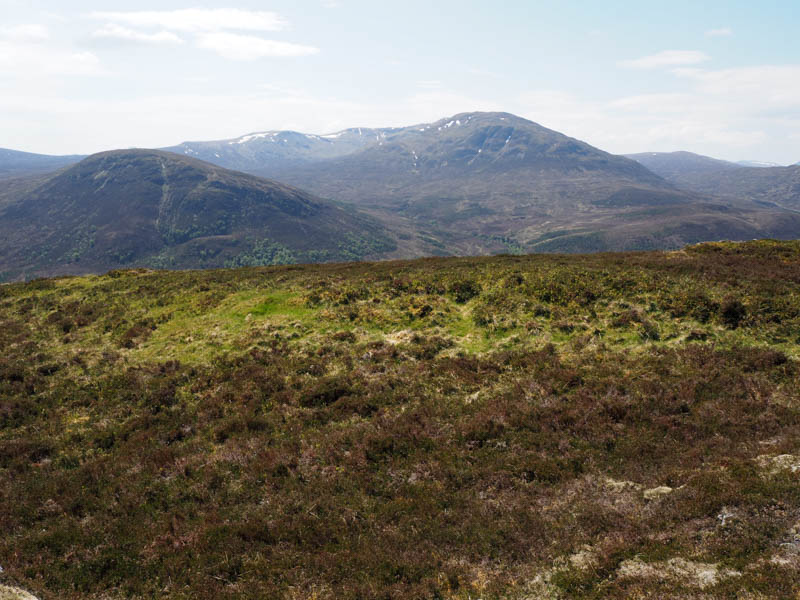
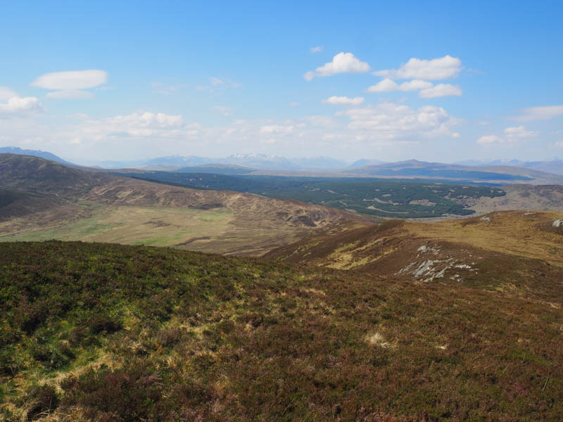
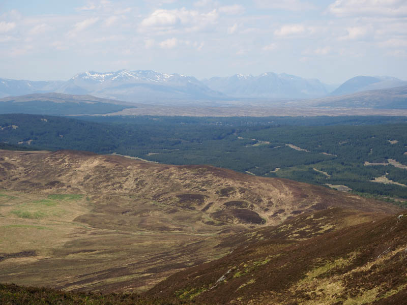
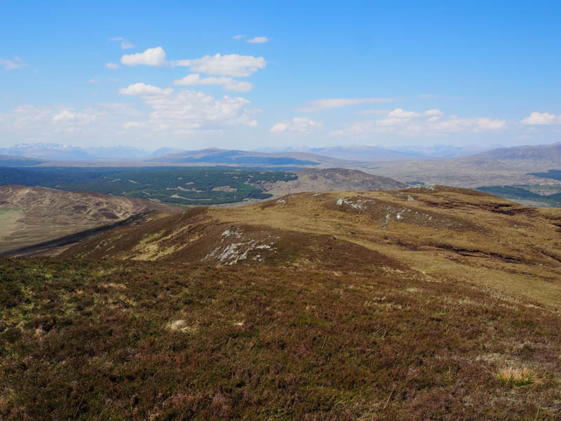
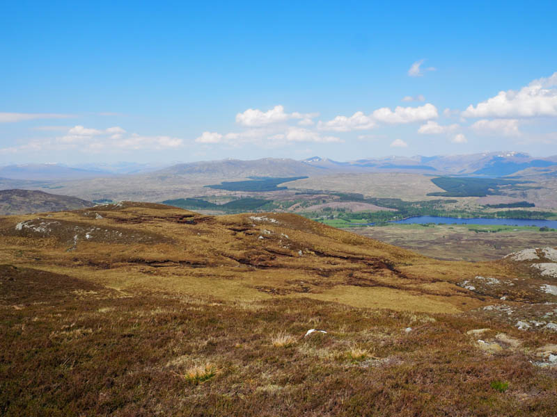
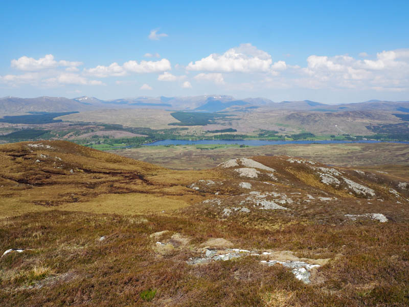
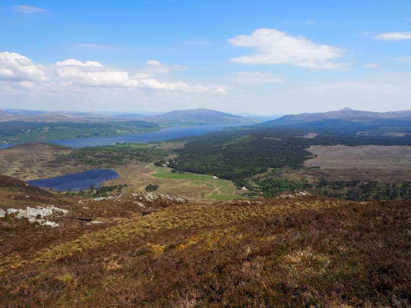
I took a break here sheltering from the warm wind, enjoying the sunny conditions and the views. The return was down Leagag’s west ridge and over Meall Dubh to reach the vehicle track used on the outward route.
![Route off Leagag to Meall Dubh](https://scotlandhills.net/wp-content/uploads/2020/07/15-Route-off-Leagag-to-Meall-Dubh.jpg)
It was then a pleasant stroll back to the start although I wasn’t alone as around six mountain bikers passed me at different times.
- Time take – 3 hours.
- Distance – 9.25 kilometres.
- Height climbed – 400 metres.