The start of this walk was the single track road that crossed the hillside from the A827, on the north shore of Loch Tay, to Bridge of Balgie in Glen Lyon. I left my car at the start of the track for Meall nan Tarmachan as I thought this would save me some time and the charge for parking in the car park further south. I doubt it saved any time as the ground to the south of Sron Dha Mhurchaidh was rough and wet in places. There was also a deer fence to cross via a stile.
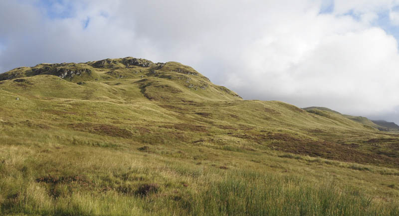
Beyond I joined the Ben Lawers path then further on there was a gate in the deer fence. The path thereafter split and I opted to take the route below Beinn Ghlas meeting a few folks on their return having obviously been out early. Before reaching the col between Beinn Ghlas and Ben Lawers I entered the low cloud so the plan to by-pass Ben Lawers and head for An Stuc was abandoned due to the poor visibility.
A well worn path headed up the Munro, Ben Lawers, and here I met a few more people who were donning extra clothing and later waterproofs as there was a strong wind and a brief rain shower. The trig point was reached and with no views I descended north on a path to the Munro Top, Creag an Fhithich. From there I continued my descent to the col with An Stuc as the cloud began to lift and clear the tops.
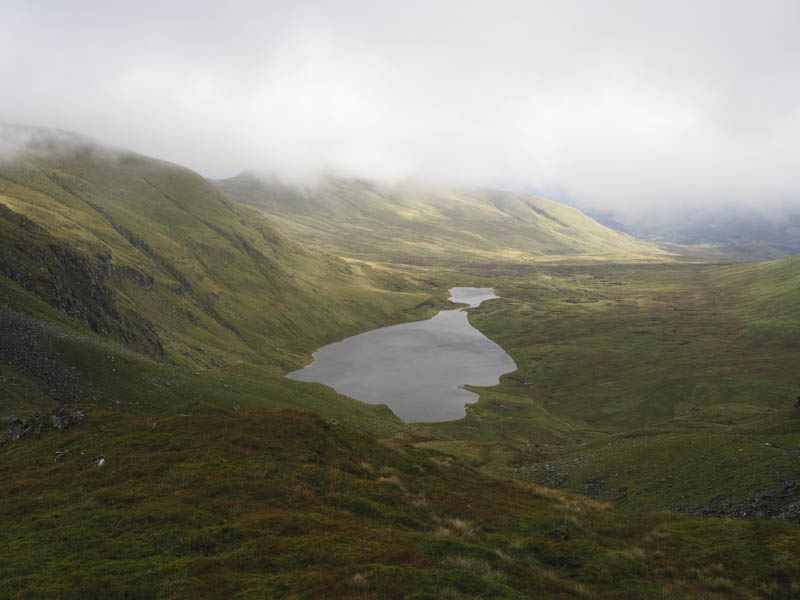
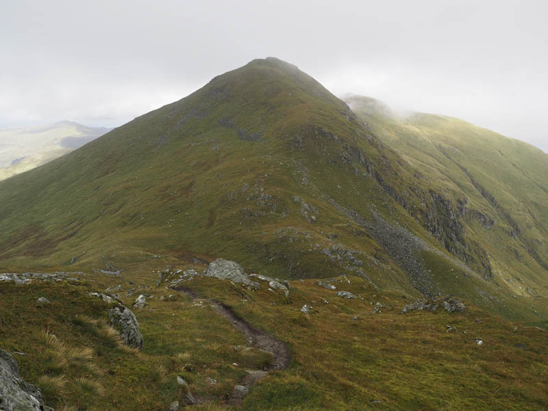
From this col it was a steady climb to the cairn marking the summit of the Munro, An Stuc, where it was rather breezy but at least I had some views.
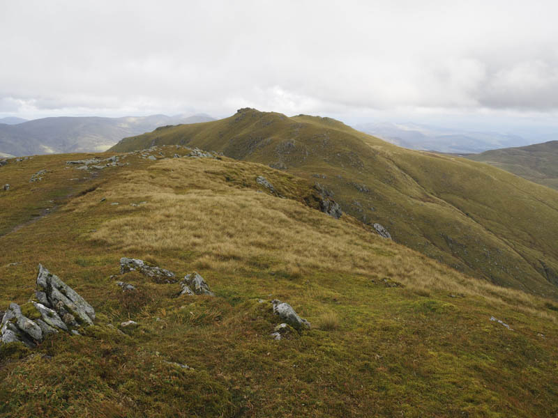
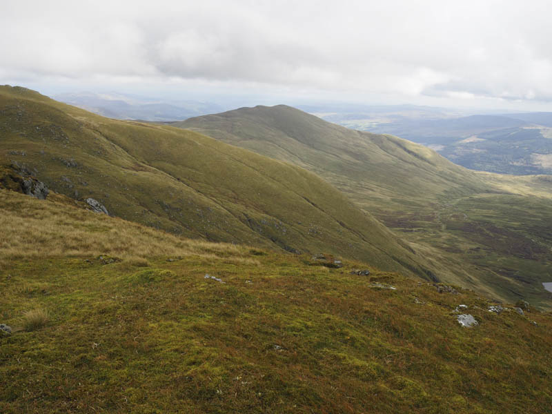
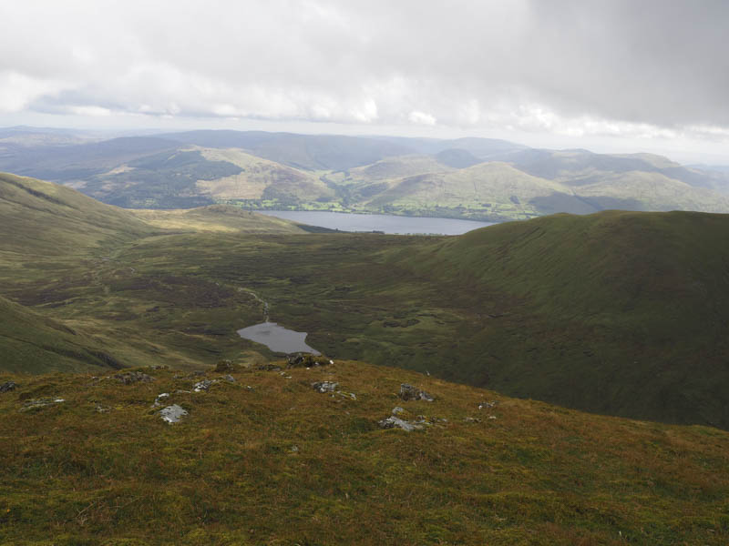
I found shelter nearby for lunch before returning to just below the summit of Creag an Fhithich and from there traversed below Ben Lawers, gaining a bit of height, to reach the col between it and Beinn Ghlas.
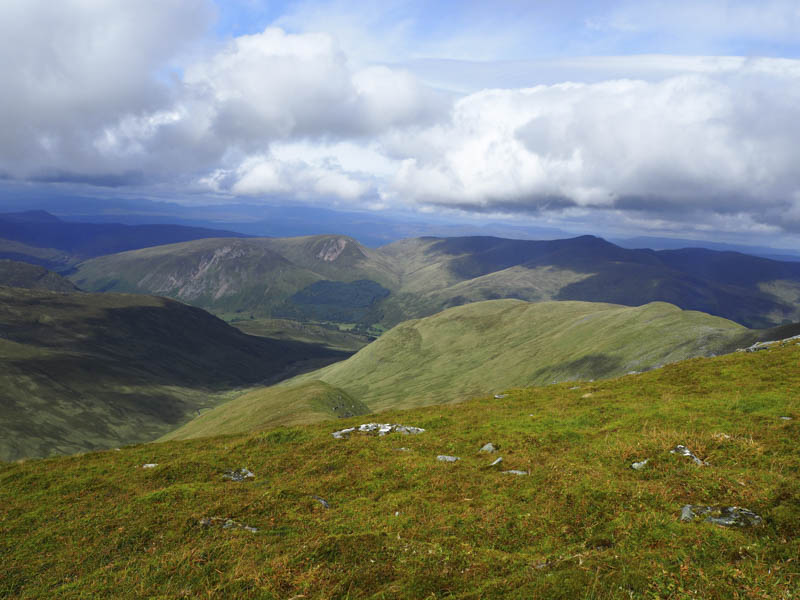
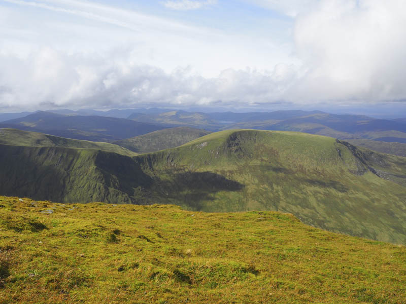
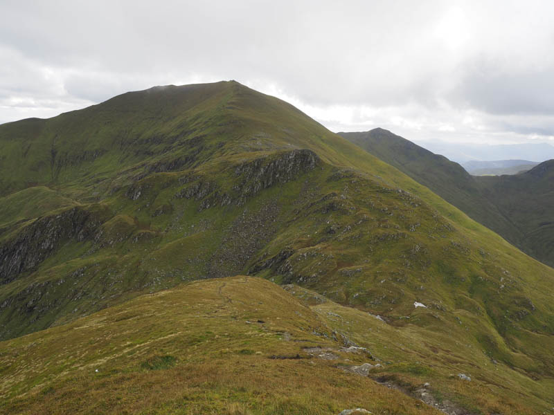
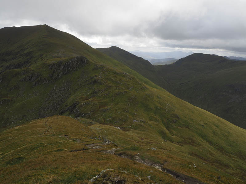
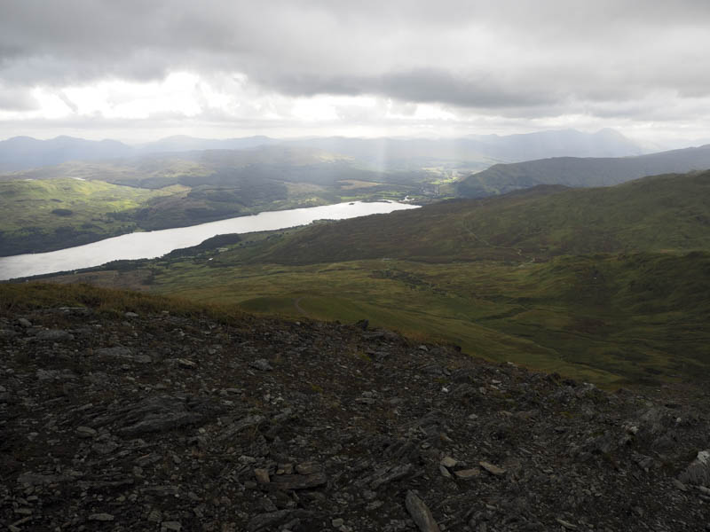
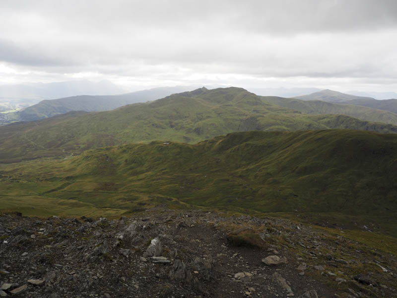
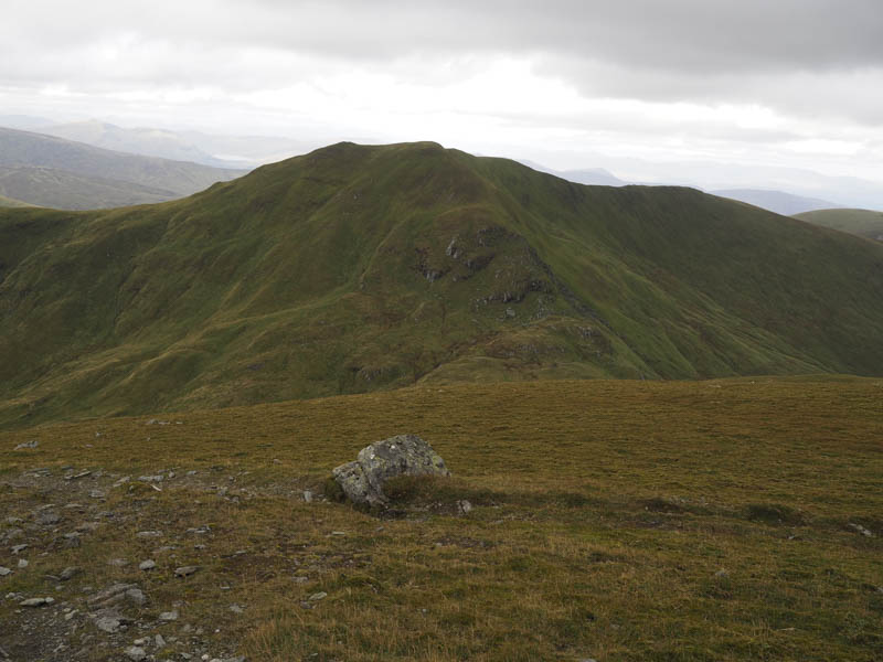
I decided to include the Munro, Beinn Ghlas, as it didn’t involve a lot of ascent. However it was rather blustery as I reached the summit cairn and even stronger on the descent of its south-west ridge where I was brought to a halt on a couple of occasions. A young family were on their ascent but seemed determined to keep going despite the wind. Lower down it was less windy and I rejoined the path used earlier that day and returned to the start by the outward route.
- Time taken – 6.5 hours.
- Distance – 14.25 kilometres.
- Height climbed – 1340 metres.