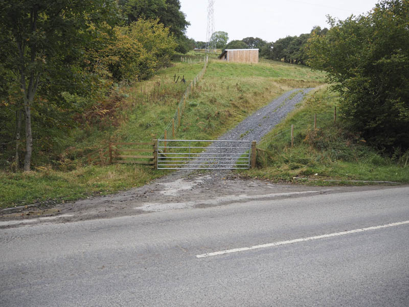
My intention was to climb the Munros, Meall Greigh and Meall Garbh, from Boreland Forest on the A827 Aberfeldy to Killin Road. However on my arrival at the start of the zigzag track through this forest a sign indicated that access was restricted due to forestry operations. I therefore continued south-west along the A827 to beyond the trees parking on the verge just east of Feadan.
I then crossed the road, passed through a new gate and onto a vehicle track that led to a further two gates, the latter being tied down.
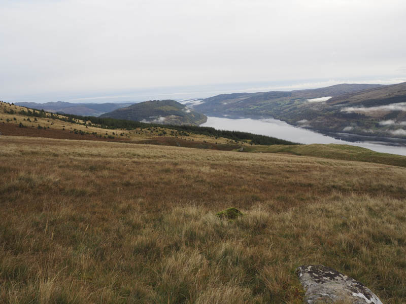
Beyond, the track turned left so I continued uphill soon crossing a stone dyke topped with a fence. I was then on the open hillside walking across mainly grassy vegetation as I headed to and entered Coire Phadairlidh.
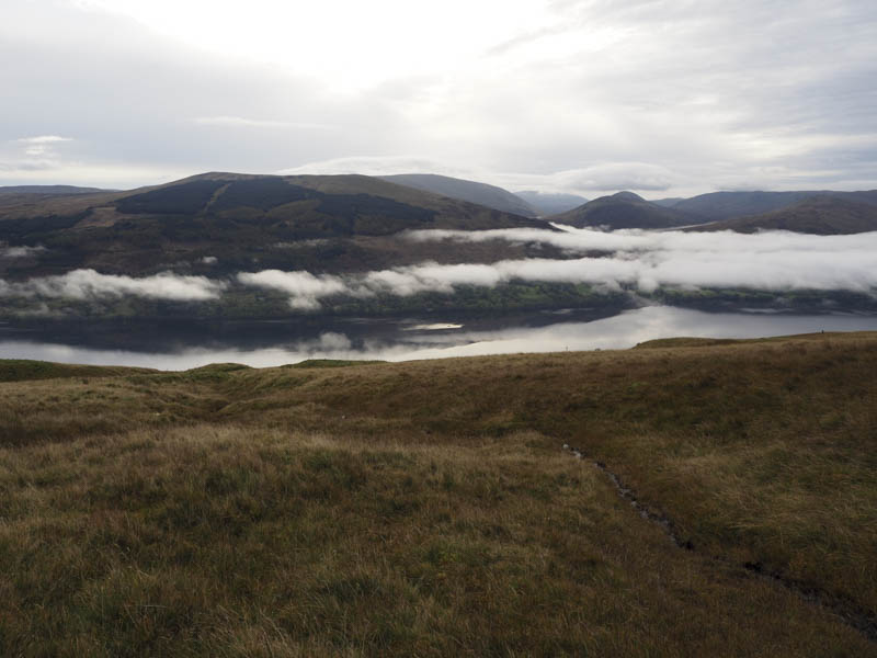
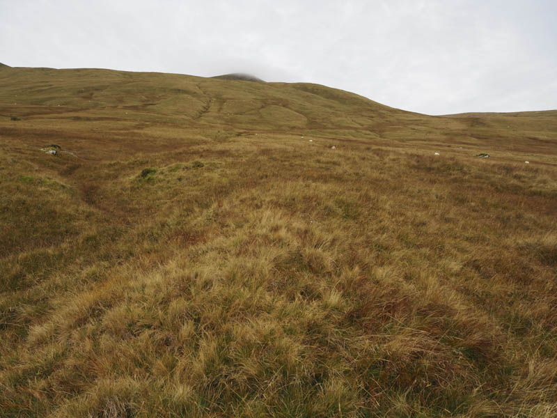
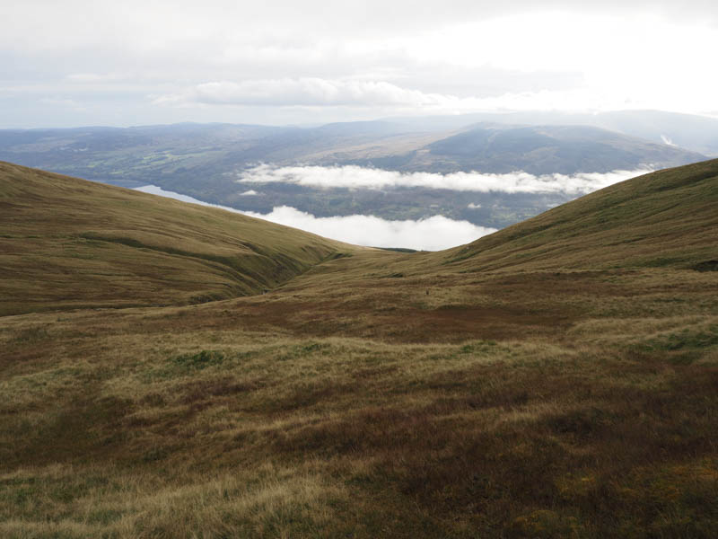
Once through this coire and in low cloud I climbed onto Meall Greigh’s North-East Ridge then ascended its North-West Top at this time avoiding the Munro summit. From there I followed the path north-west then west as I descended to the col with Meall Garbh.
The next section was a bit muddy and steep but the gradient eased as I headed to the summit of Meall Garbh. With no views I didn’t linger and returned to Meall Greigh’s North-West Top then to the summit of Meall Greigh. Thereafter I followed the path south-east before later leaving it and heading towards the Allt Coire Phadairlidh before descending to the start by the upward route.
- Time taken – 5.25 hours.
- Distance – 15 kilometres.
- Height climbed – 1425 metres.