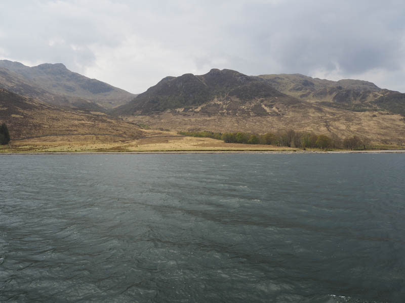
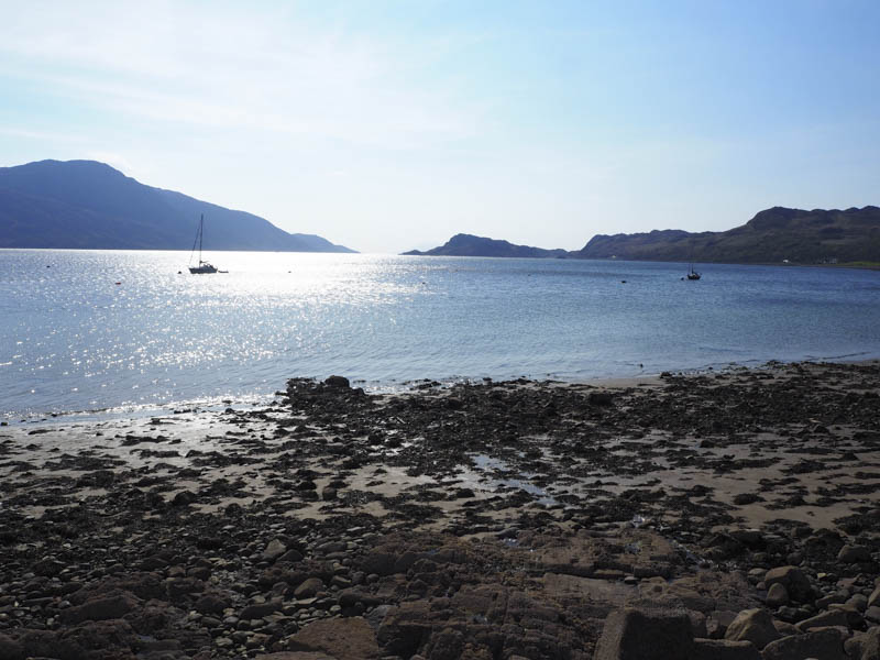
This was the first day of a week based at Doune on the Knoydart Peninsula accessed either on foot or by boat. The other members of the group were dropped off east of Croulin, on the south shore of Loch Hourn, with the intention of climbing the Corbett, Beinn na Caillich. I was taken ashore by dingy to land on a gravel beach slightly further west.
From there I climbed south-west across heather, following deer tracks at times, to reach a gap between two deer fences. There was a stile over the deer fence surrounding the Tump, Sgurr na h-Aide and once over this stile the ground was rather spongy with new saplings covering the hillside making the ascent hard work. On reaching the summit the views were rather hazy and it was windy.
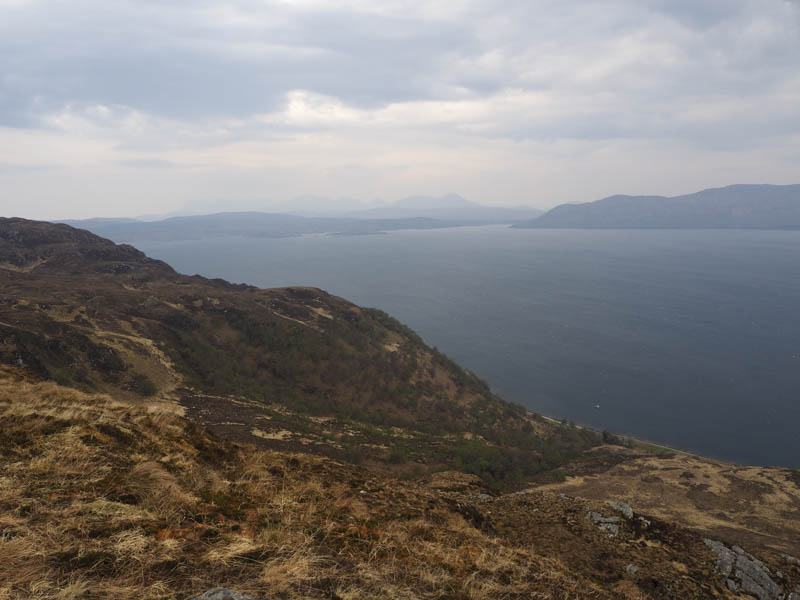
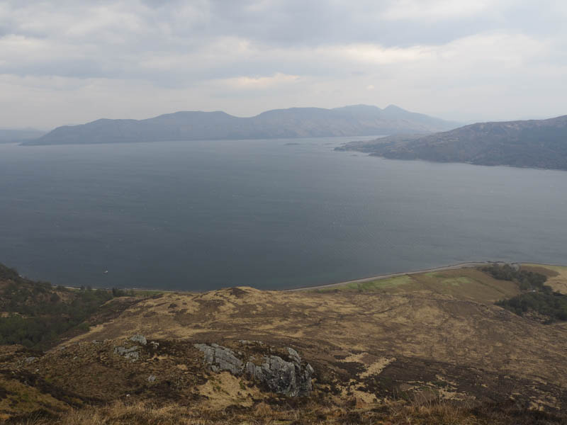
I then descended south-west, climbed over the deer fence, and made the fairly easy ascent to the summit of the Hump, Na Cruachan, where I found a bit of shelter from the wind for an early lunch.
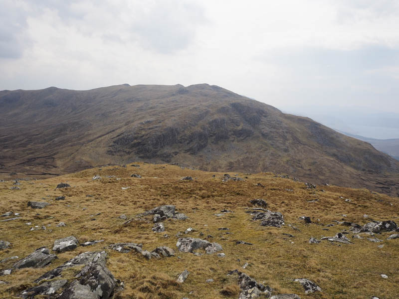
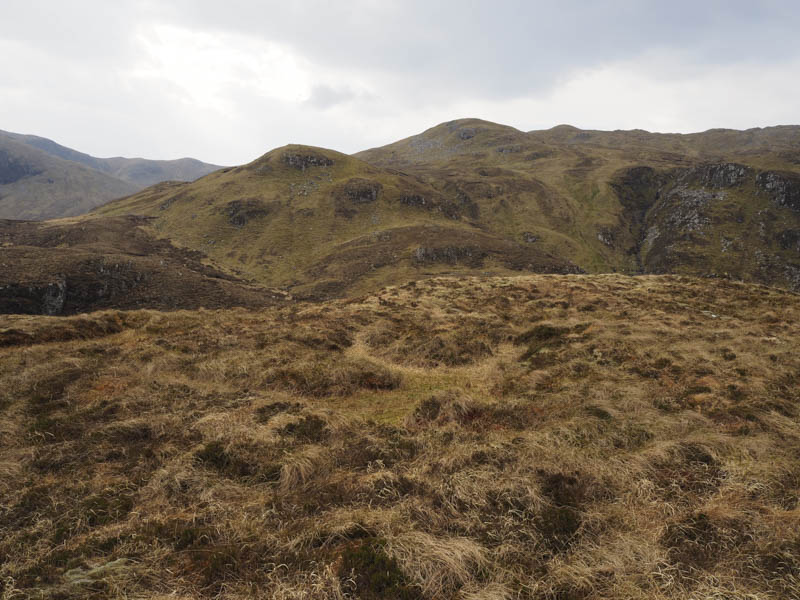
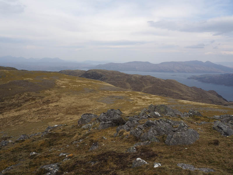
Thereafter I descended south-east followed by a slightly steep climb to reach the large cairn on the west top of Meall Coire an t-Searraich. The highest point of this Graham Top was the knoll further east and here the wind was rather strong as I made my way across to the small cairn marking its summit where I found some shelter for a second lunch.
The route off Meall Coire an t-Searraich involved returning towards its large cairn then it was a fairly steep descent avoiding rocks and boulders to eventually reach a deer fence which I climbed over. The vegetation within this enclosed area made for awkward walking including holes dug to retain water for the saplings.
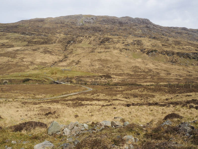
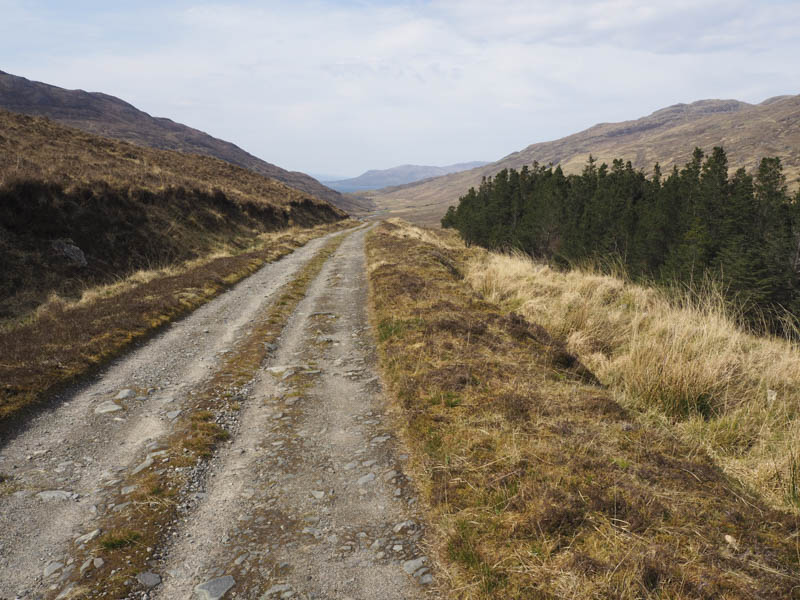
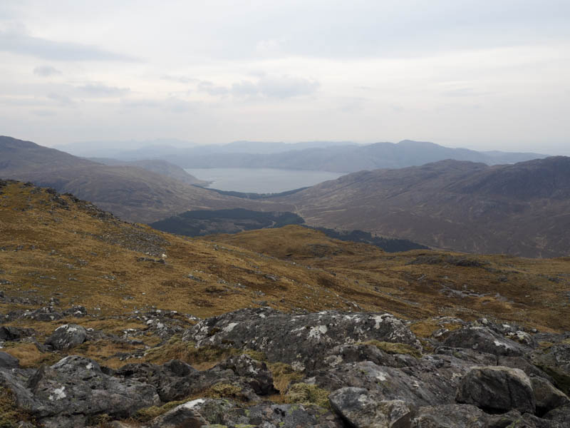
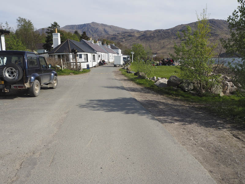
I emerged from this area at a tied down gate which I had to climb over then joined the track on the north side of the bridge over the Abhainn Inbhir Ghuiserein. I crossed this bridge then followed the vehicle track to Inverie where I later met up with the rest of the group and we were transported by boat back to Doune.
- Time taken – 6.25 hours.
- Distance – 13.5 kilometres.
- Height climbed – 995 metres.