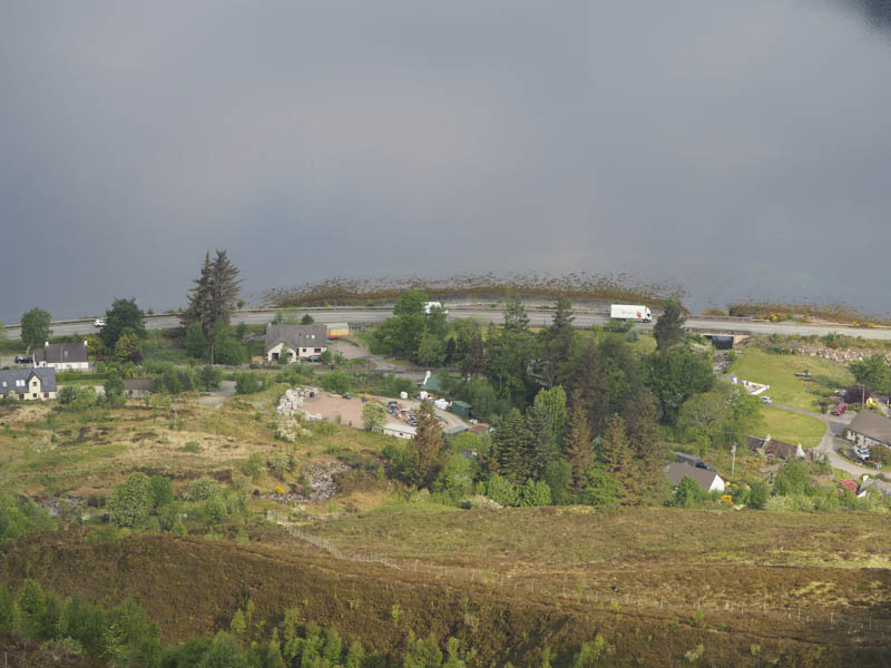
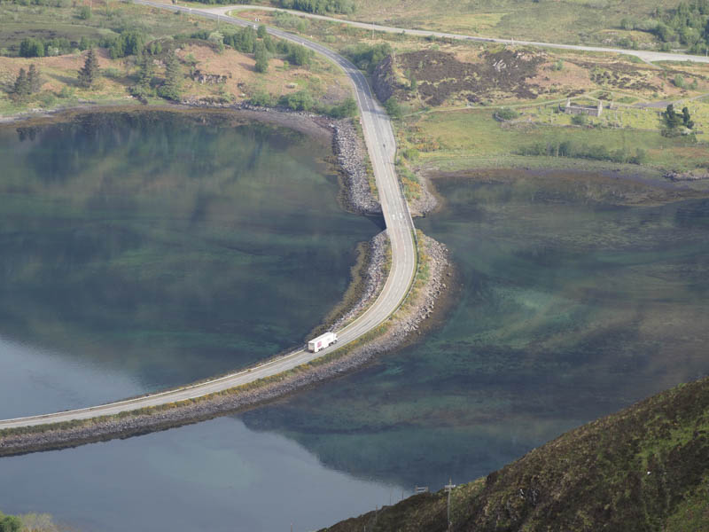
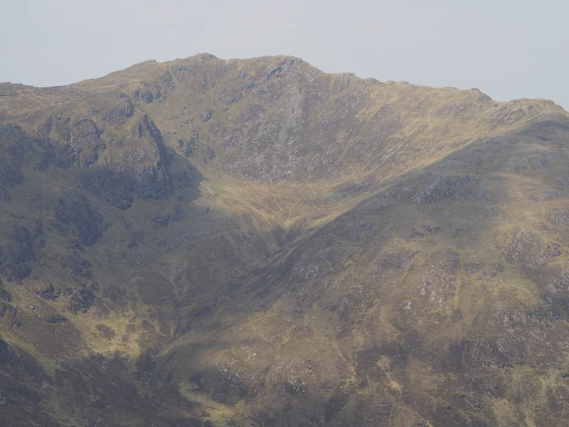
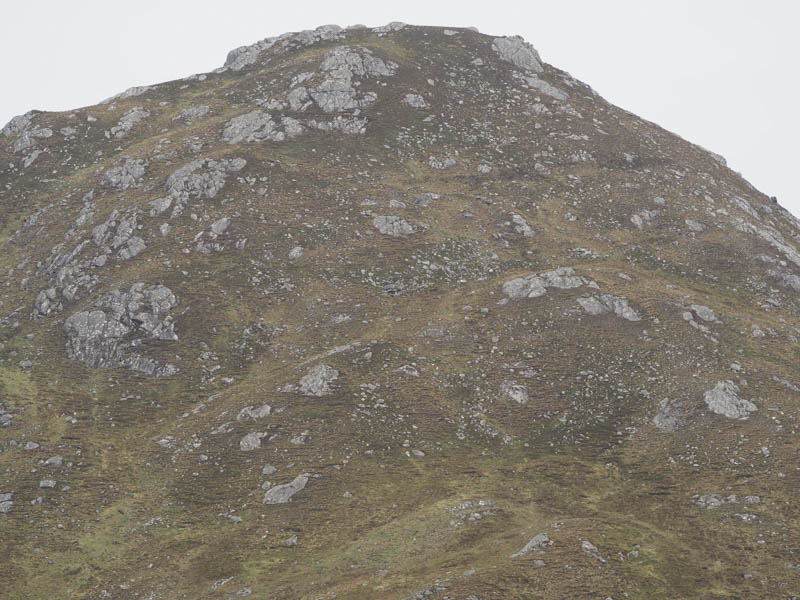
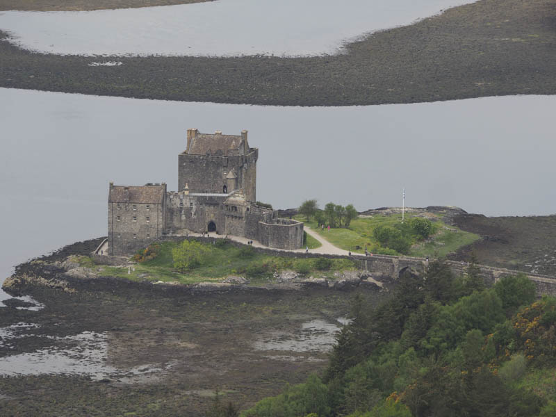
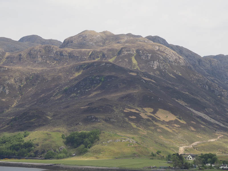
Fasach an t-Searraich and Sgurr an t- Searraich – I parked my car in the hamlet of Ault a’ chruinn, located on the east side of the A87 just south of the causeway over Loch Duich in Kintail. The start of the route up the side of the Allt a’ Chruinn wasn’t signposted nor was it obvious amongst the houses and old buildings. I’ve descended from the Five Sisters this way on a few occasions so should have known the exact point to set off from. It was up a pot holed tarred road beside a corrugated hut then immediately below the front garden of a bungalow. The path passed through a couple of gates rising quite steeply above the east side of the burn and consisted of numerous boulders making the route more like a staircase. The path continued below the east face of Sgurr an t-Searraich and into Coire na Criche.
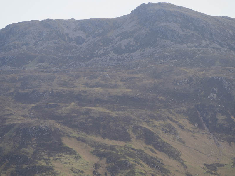
Beyond Sgurr an t-Searraich I left the path, crossed the burn which was fairly low, and climbed through grass, heather and round a few boulders to the summit of Fasach an t-Searraich.
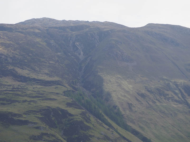
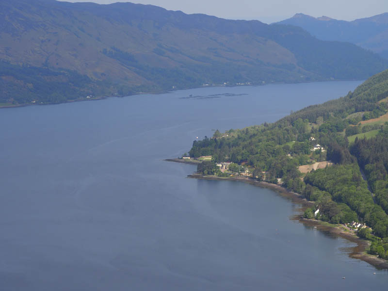
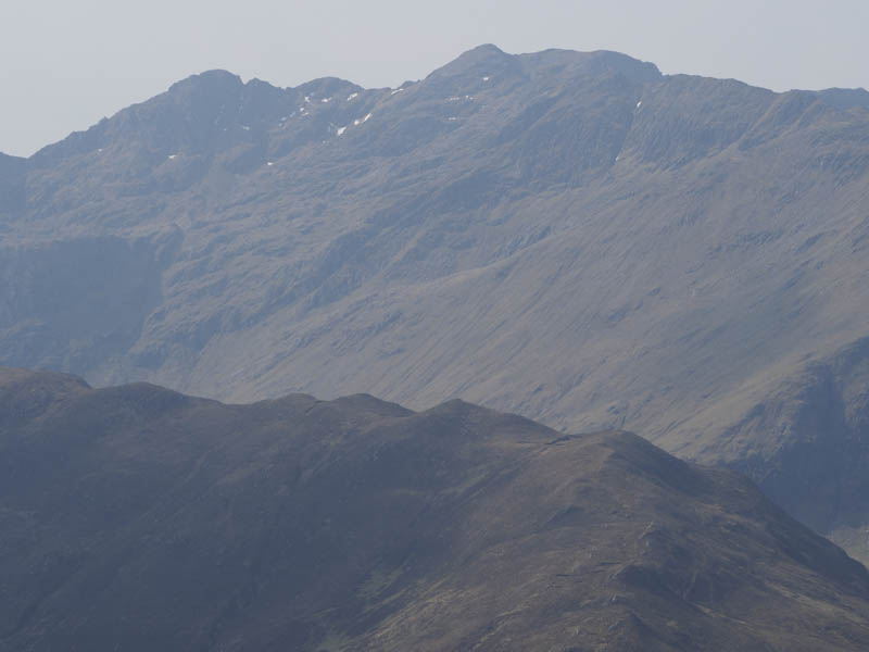
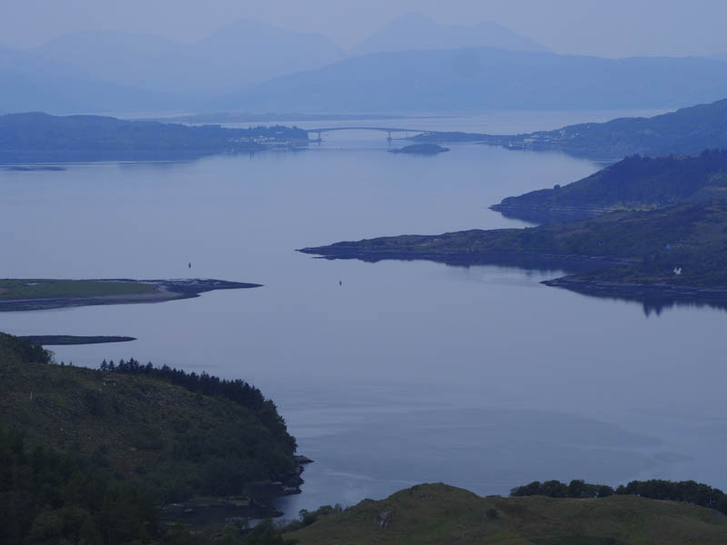
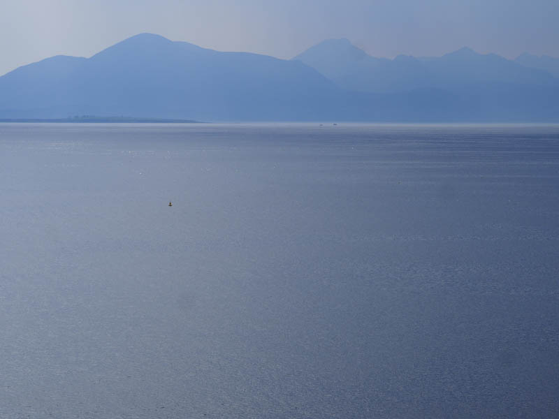
From there I descended to the col with Sgurr an t-Searraich before climbing to the summit of this Hump where there were good views down Loch Duich.
After an extended break I returned to the col, re-crossed the Allt a’ Chruinn, and returned to the start by the upward route.
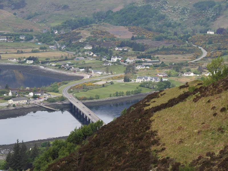
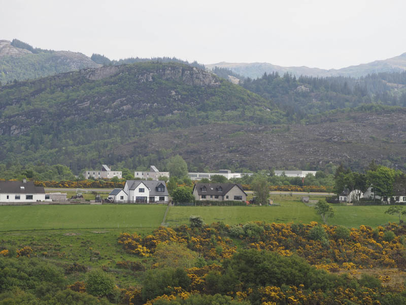
Torr a’ Char – I parked at the start of the rough track leading to a communications tower in Carr Brae, above the north-east side of Loch Duich in Kintail, and walked up this track to the mast. From there I headed south-east below the rocky south-west face, then through deep heather onto the summit of Torr a’ Char where I visited a couple of tops.
Once back through the heather I made a more direct descent to the track.
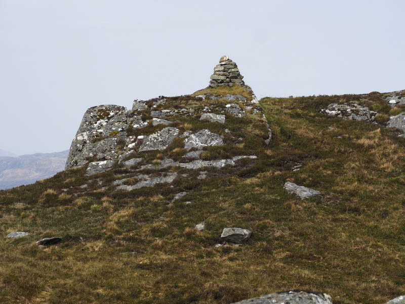
Cnoc Camus-Iongart – I parked at the side of the Sallachy Road just off the Dornie to Balnacara section of the A87. I climbed over a gate, crossed a field of rough grazing, went over a fence, through some trees and long heather to reach the summit of the Tump, Cnoc Camus-Iongart, where I visited a couple of points.
The return route was slightly to the east thus avoiding the trees.
An Dubh-Aird – Parked west of the Plockton Aerodrome and walked along a tarred road then a path which led to a stony beach. From there I climbed to the summit of the Tump, An Dubh-Aird, which was located amongst gorse bushes.
- Total time – 5.75 hours.
- Total distance – 10.5 kilometres.
- Total height climbed – 945 metres.