In 2010 I visited the Isle of Raasay to climb the Marilyn, Dun Cann, but at that time didn’t realise that there was a second Marilyn at the north end of the island. When the folks I was staying with mentioned visiting Raasay I was happy to drive to Sconser on the Isle of Skye where we caught the ferry to the new pier at Clachan on Raasay.
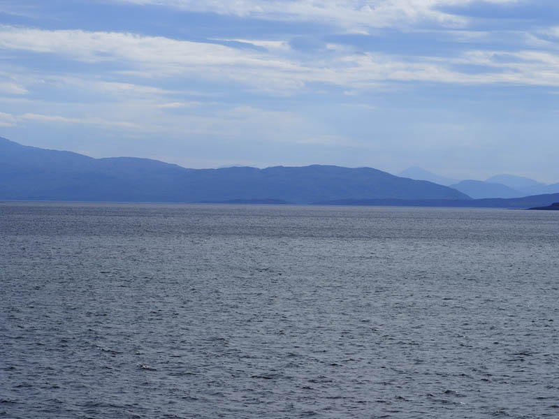
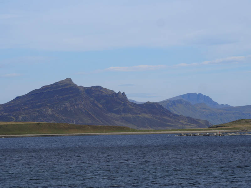
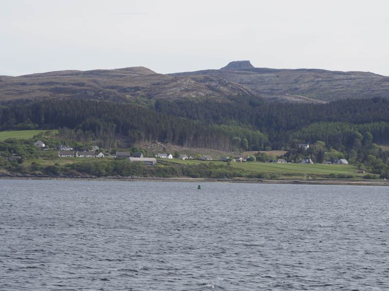
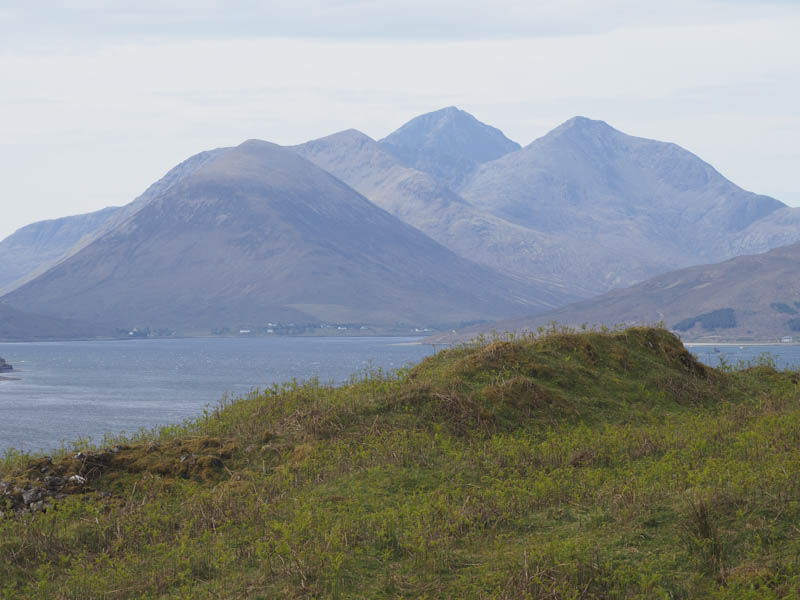
I then dropped three of the group at North Fearns as they planned to walk up the coast to the old community of Hallaig before another chap and I headed for the north end of the Island.
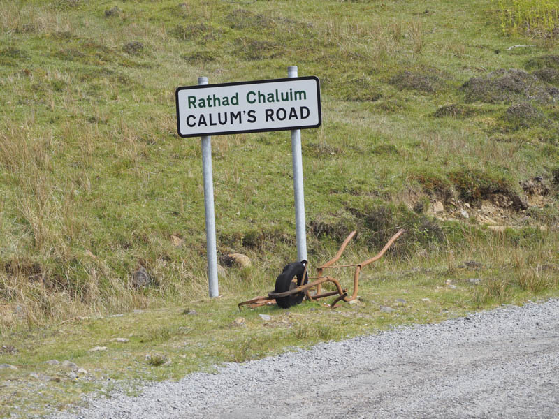
We left my vehicle in the car park at the end of the public road immediately south of Arnish then set off along the rough path to Torrin. At the Mission House there we took the route signposted for Rona and here spoke briefly with a local female runner. The path continued below the west face of Meal Dearg and at the next junction we continued north, the path to the west led to Eilean Fladday which can be visited at low tide.
Our path then swung round to the east and at its highpoint we left it and climbed through rocks and rough vegetation to the cylindrical trig point marking the summit of the Marilyn, Beinn na h-Iolaire.
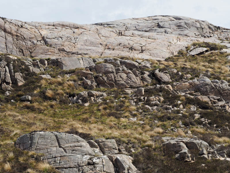
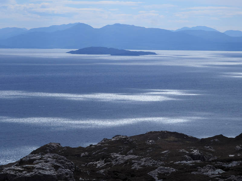
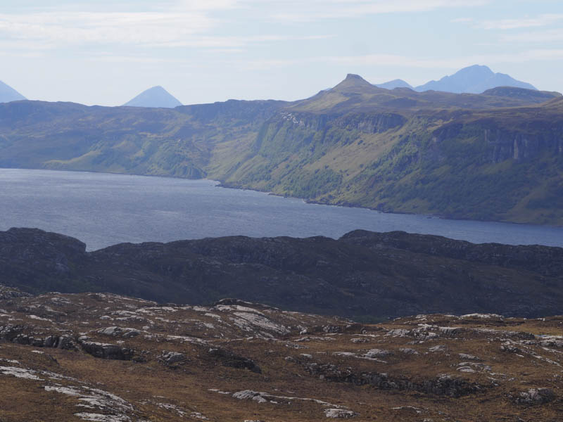
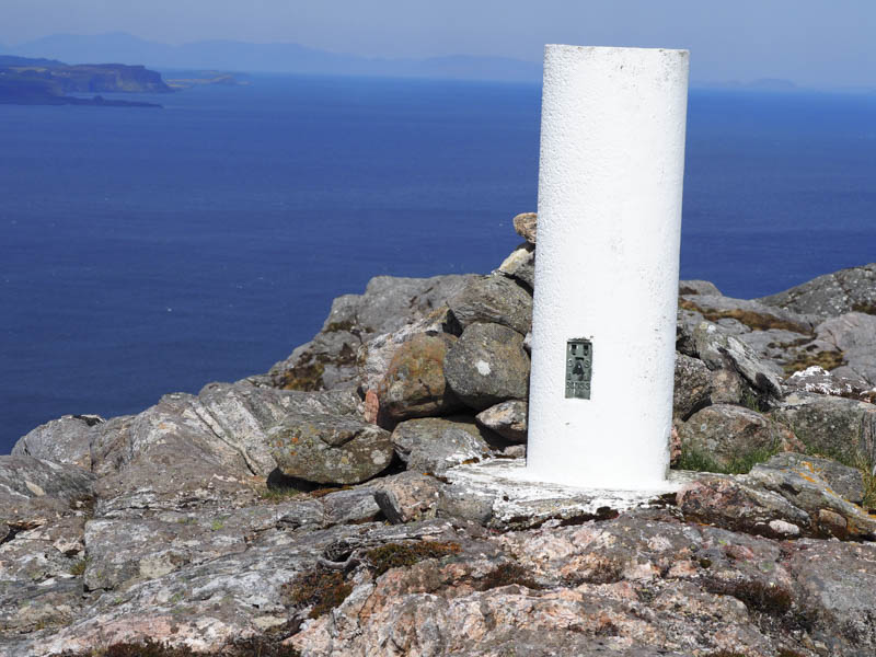
We then descended through more rocks and rough vegetation and climbed to the summit of the Tump, Beinn na h-Iolaire’s East Top.
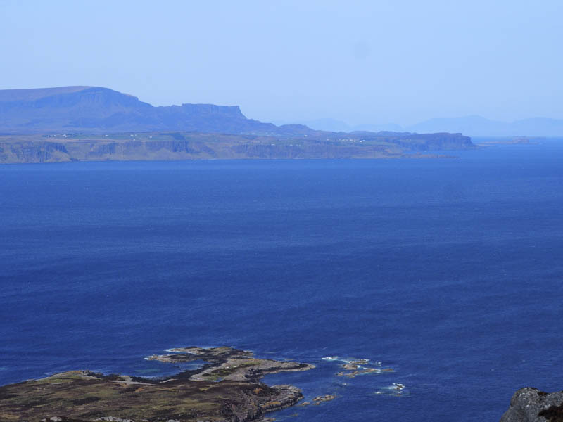
Then it was over similar terrain, crossing the path leading to Rona, to reach the Tump, Beinn na h-Iolaire’s Far East Top,
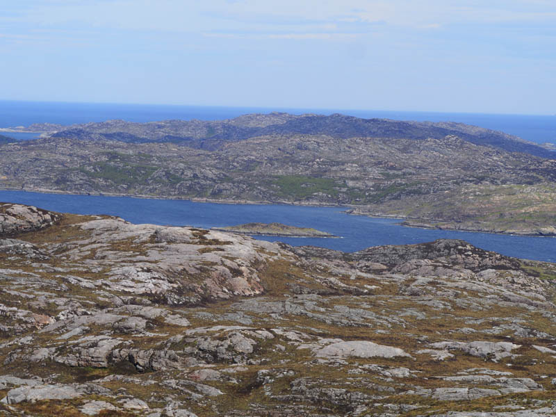
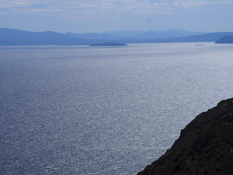
On rejoining the Rona path we headed back to the point where we left it to climb Beinn na h-Iolaire then continued our return to Arnish.
- Time taken – 2.75 hours.
- Distance – 7.5 kilometres.
- Height climbed – 465 metres.