I was en-route from the Isle of Harris to Stornoway to catch the ferry back to Ullapool but stopped off to climb the Marilyn, Sleteachal Mhor. I managed to park at the side of the A859 at Ceann Tarabhaigh and walked north up the track to the west of the buildings there.
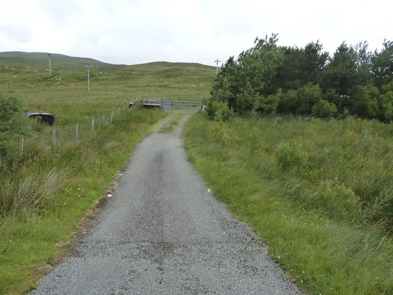
A couple of gates were passed through before I entered and crossed a field to reach gate number three and beyond it the open hillside.
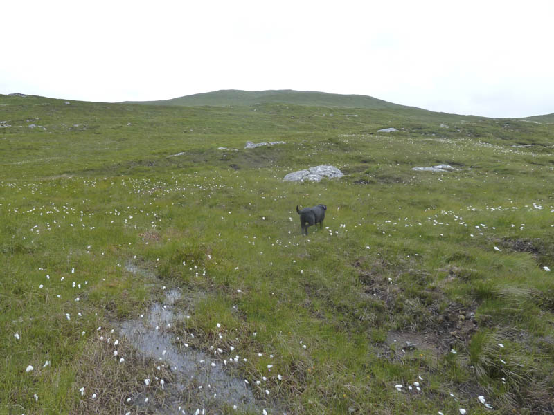
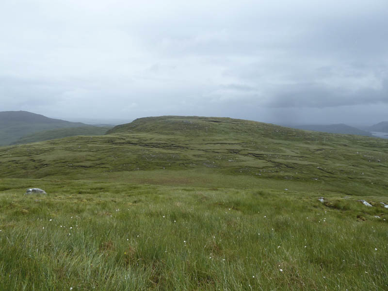
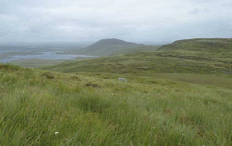
The undulating ground was wet and boggy in sections as I made my way onto Sleteachal Mhor and to its summit which was marked by a few stones on a rib of rock.
It was raining at this time so I descended west and climbed the Tump, Beinn a’ Charnain. Here the rain was lighter so I stopped for a break.
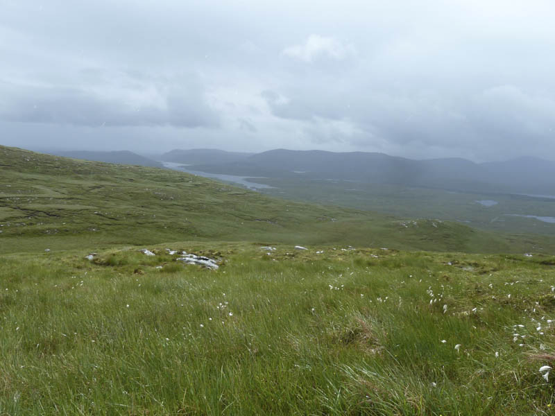
Afterwards I descended east to below the south side of Sleteachal Mhor then headed back to the start by the approach route.
- Time taken – 2.25 hours.
- Distance – 5.75 kilometres.
- Height climbed – 300 metres.