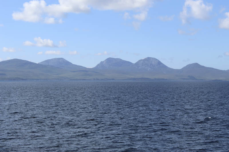
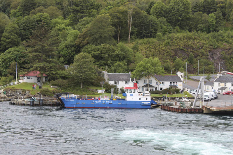
The previous day I drove to Kennacraig in Kintyre where I met up with a couple of friends before catching the Cal Mac Ferry to Port Askaig on the Isle of Islay. From there we took the Jura Ferry to Feolin on the Isle of Jura before driving to our accommodation at Craighouse.
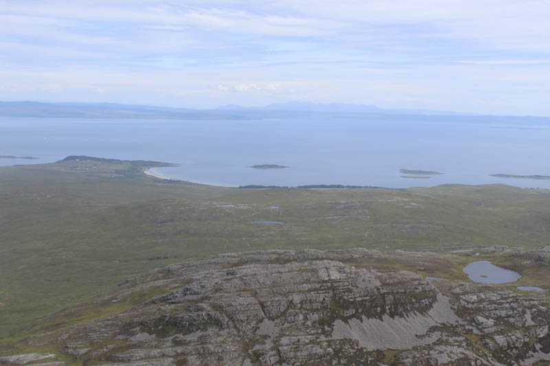
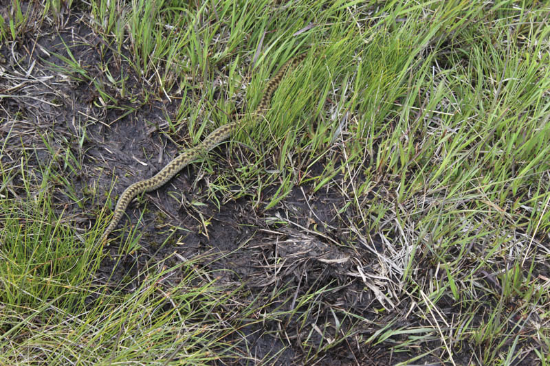
We drove north on the A846 to just beyond the bridge over the Corran River and opposite the junction to the hamlet of Knockrome where there was a parking area for several cars. On foot we re-crossed the bridge then dropped down to and climbed over a stile in a deer fence. Initially there was a single path to follow but this soon changed as there were various tracks across the open hillside towards Loch an t-Siob. The one we choose had areas of bog to cross or avoid but I’m presuming others were in a similar state.
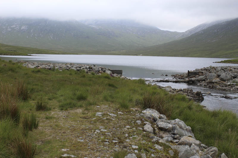
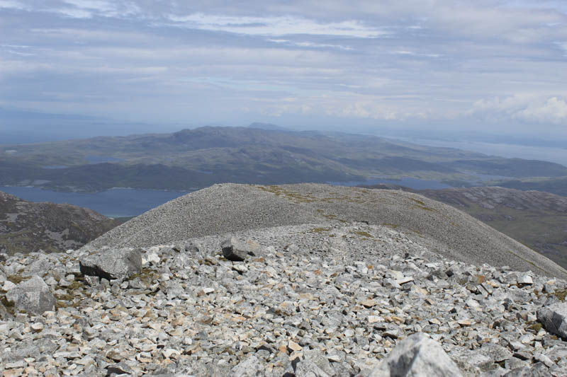
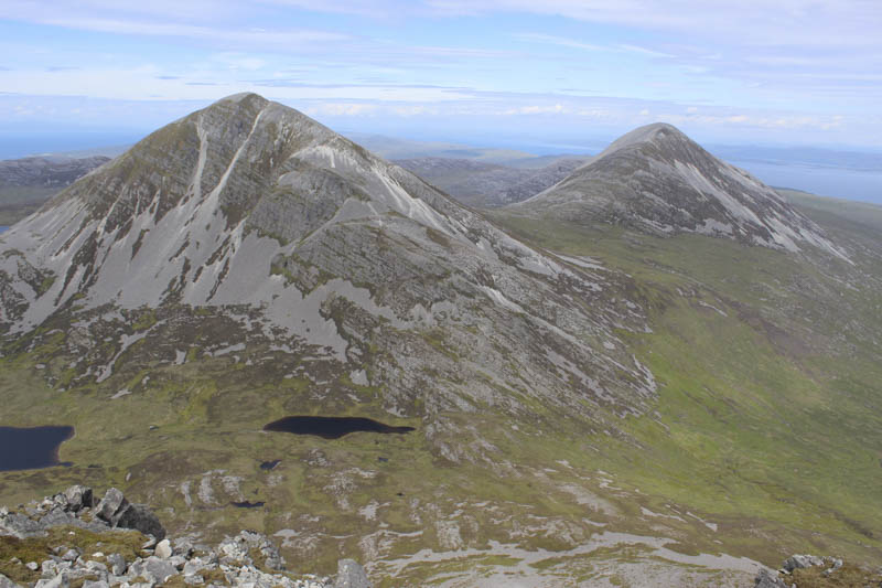
An hour after setting out we arrived at the Loch where the large stepping stones across its outflow made for an easy crossing. Initially there were traces of a path as we climbed north through a mixture of vegetation towards the east side of Beinn Shiantaidh. However the path soon disappeared and as height was gained we entered the low cloud. At a point to the south-east of Beinn Shiantaidh we located another path that worked its way steeply uphill, mainly through vegetation, onto the south face of this Graham where the path came to an end. Loose scree followed by an awkward crossing of a boulder field led to the summit cairn.
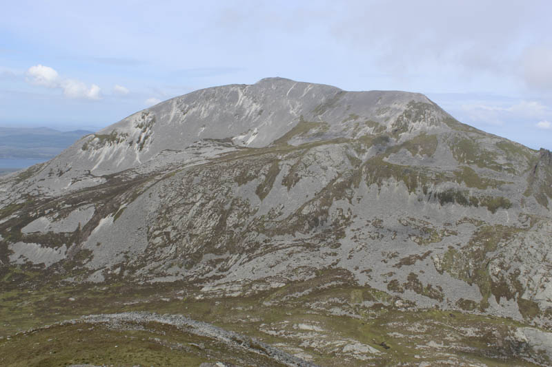
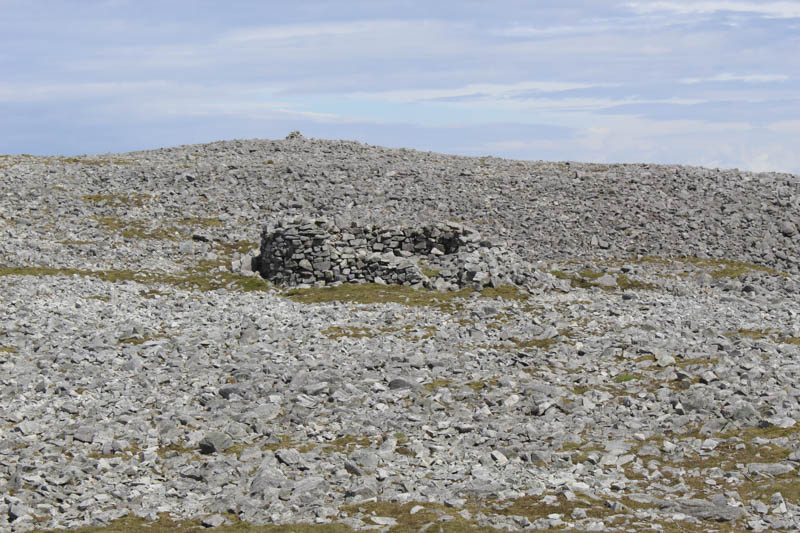
While sitting at this summit the cloud began to break up and lift which made finding the route off Beinn Shiantaidh easier. It involved descending west then north-west, avoiding the crags, then lower down through a stone gully. A more vegetated area was reached and it was now an easy descent south-west to the start of the path for Beinn an Oir. This path headed north on a fairly steady gradient before we left it and climbed more steeply onto its north-east ridge avoiding the scree. We reached the ridge beside one of the old Ordnance Survey shelters then it was a short walk to this Corbett’s summit shelter and trig point.
After a break here we descended south onto an arête.
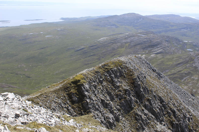
Beyond it there was a stony path on the left side of the ridge before it swung round to the south-west and the gradient eased for a while. Then lower down the descent was steep and involved following a zigzag path through the crags to reach the bealach Mam an t-Siob.
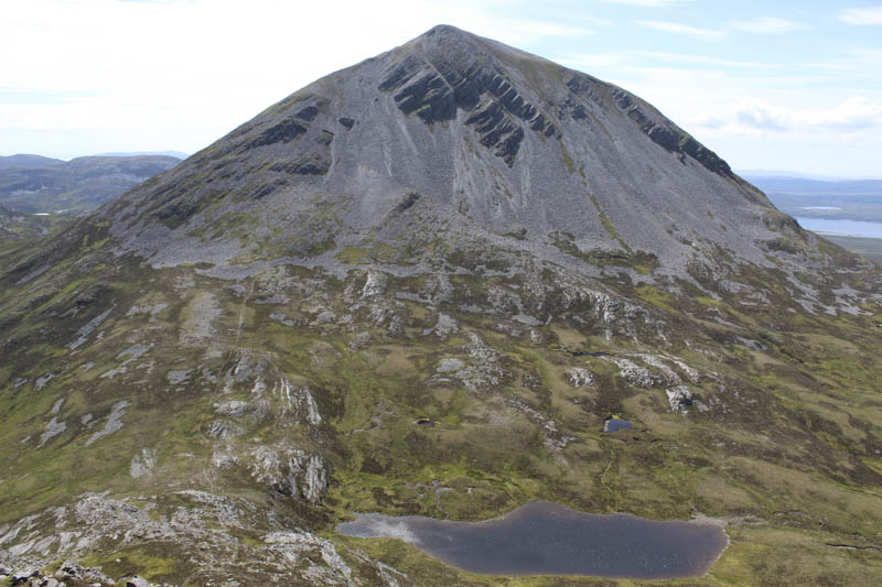
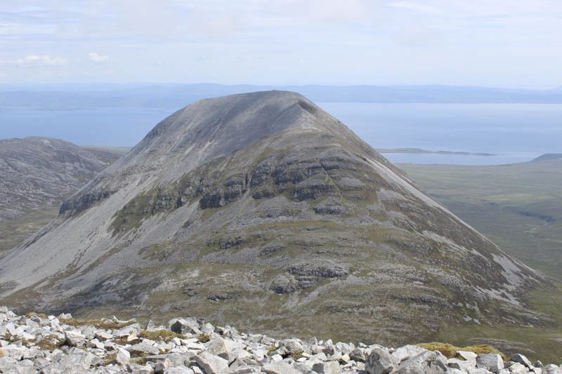
Next on our agenda was the Graham, Beinn a’ Chaolais, which looked rather daunting and included a section of scree. A path led through the vegetation to the foot of the scree where there was an option to head south-east to join its east ridge. We opted to head up through the scree although found it slightly easier amongst the rocks and vegetation to our left occasionally returning to the scree to avoid larger rocks. This eventually led to a steep path which wound its way up the east ridge and onto the cairn marking the summit of Beinn a’ Chaolais where we met a couple of young females, the only folks we had seen all day.
On leaving this summit we returned along the east ridge to the top of the scree then continued east on traces of a path which led to the vegetation lower down. The route to Loch an t-Siob involved crossing some rough vegetation including tussocks but occasionally there were traces of a path.
There was little change in the underfoot conditions as we made our way east above the south side of Loch an t-Siob to the outward route which was followed across the moor to the start.
The next day we would return to the mainland.
- Time taken – 9.5 hours.
- Distance – 16 kilometres.
- Height climbed – 1510 metres.