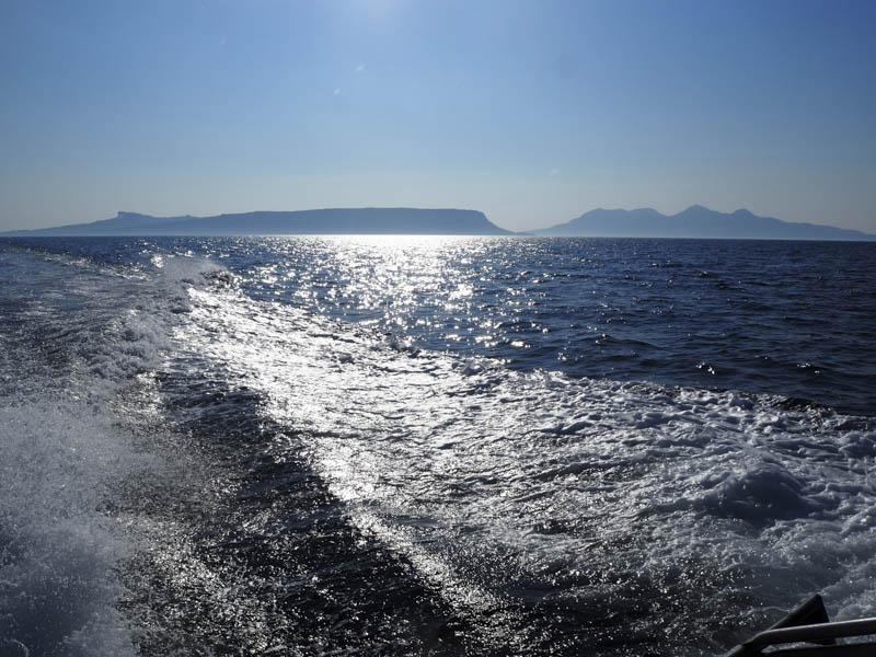
Staying with a group of friends at Doune on the Knoydart Peninsula the plan was to visit the Island of Eigg where I was hoping to climb the Marilyn, An Sgurr. The skipper of the boat had a vast knowledge of the hills and seas around this area and said it would be possible to climb both the Eigg Marilyns from the drop off point.
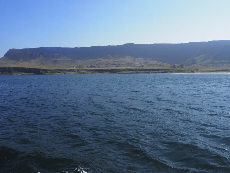
An hour after leaving Doune we arrived at the Bay of Laig on the west coast of the Island of Eigg where we were taken ashore by dingy.
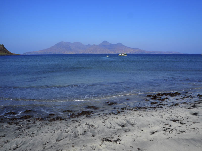
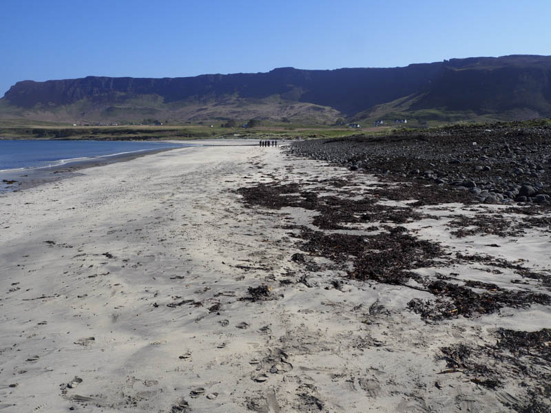
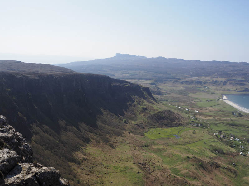
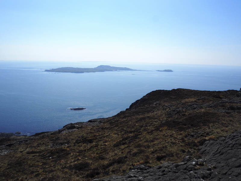
From there we walked along the sandy beach then onto the road through the hamlet of Cleadale. At the road end there was a vehicle track which led to a few houses but beyond the path wasn’t always obvious. However the boat skipper had earlier indicated a zigzag path that took us onto Beinn Bhuidhe just north of the trig point where we had good views across to the Island of Rum.
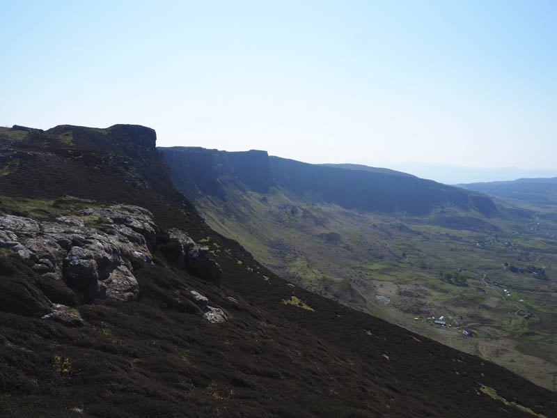
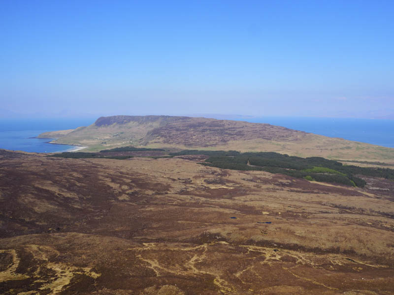
The trig point was visited but this wasn’t the highest point, it was around a kilometre to the south, so we followed paths through the heather to reach the summit of Sgorr an Fharaidh where the highest point appeared to be an area of heather.

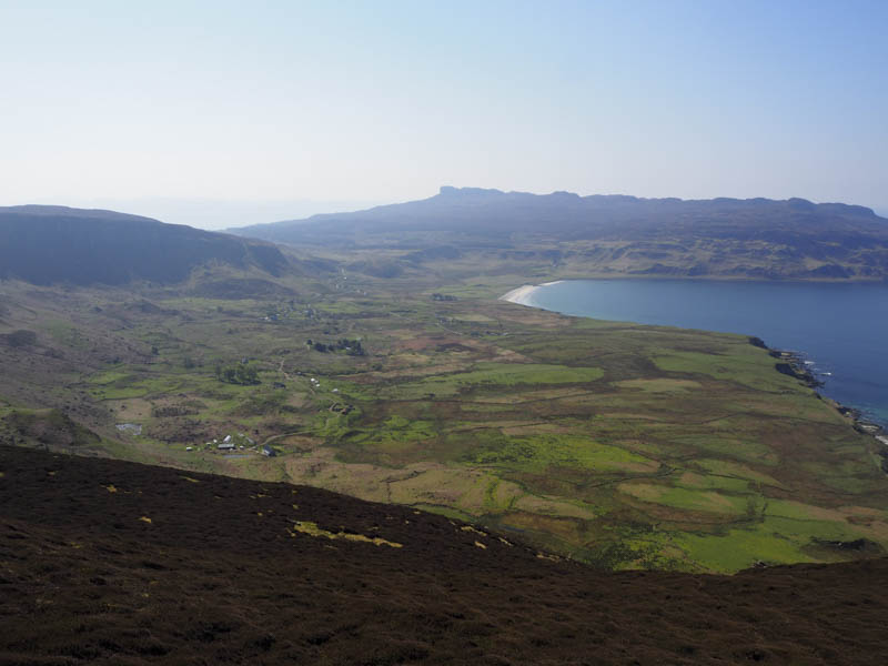
Our route continued south then south-west along the edge of the cliffs to a stile over a stock fence thereafter we used sheep tracks to reach the tarred road south of the Bealach Clithe.
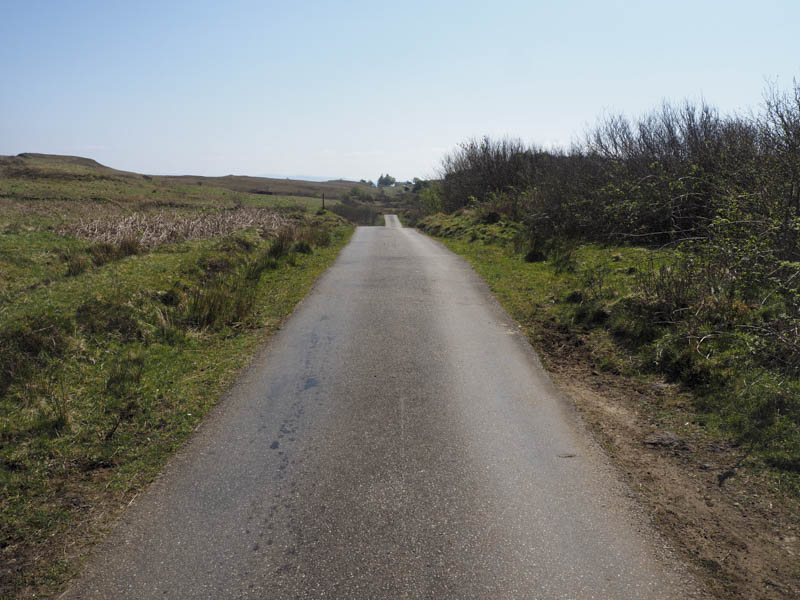
We walked south along this road for around three kilometres to the telephone exchange where we located the vehicle track through Sandavore and its farm to a cairn marking the start of the route to An Sgurr.
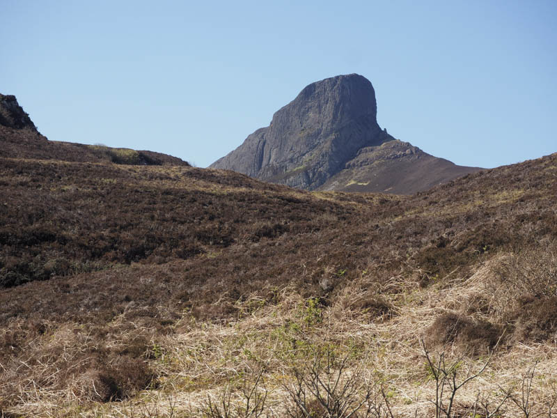
A rough path, mainly dry due to the recent spell of fine weather, took us below the cliffs on the north face and round to its west side. Here we crossed some rocks before the final ascent to An Sgurr’s trig point and summit. Small dots of red paint marked the route.
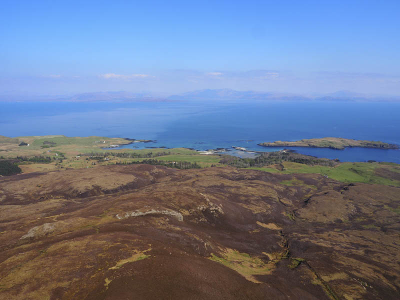
After several minutes at the summit taking in the views we returned to the start of the path then followed a vehicle track, initially through a field of sheep and lambs, to Galmisdale where we boarded the boat for the return to Doune.
- Time taken – 6 hours.
- Distance – 18.5 kilometres.
- Height climbed – 810 metres.