Back in the Spring I had an interesting walk west of Loch Broom wandering the hills north of the Marilyn, Meall Glac Tigh-fail. I now returned to climb the hills to the south of this Marilyn which I had climbed on its own in 2011.
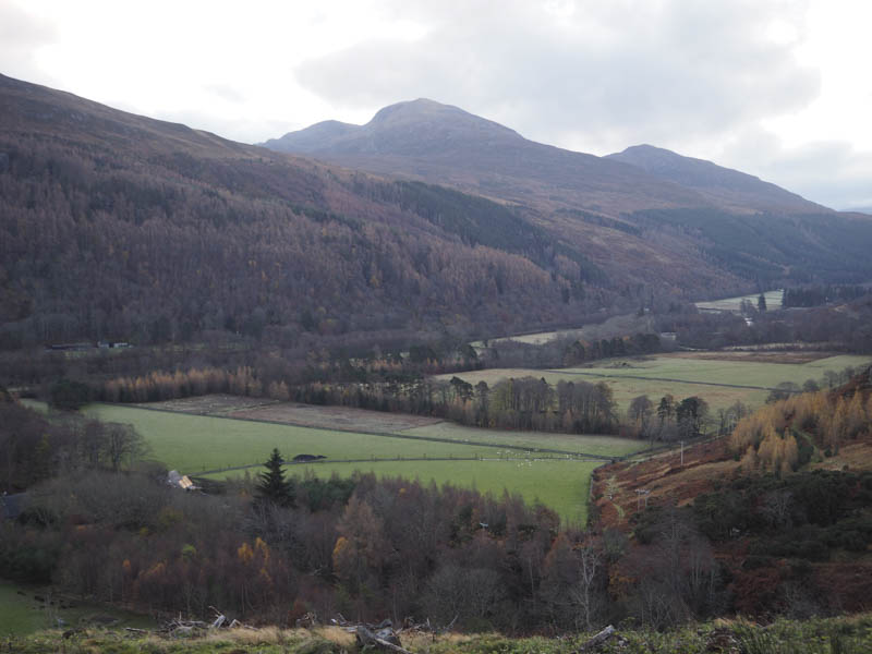
I left the A835 Braemore to Ullapool Road at the bridge over the River Broom and parked at the side of the minor road east of the crossroads before Croftown. I then walked towards this habitation and to the signposted route for the Coffin Road. This took me down several steps and into a field which was crossed to reach a small stream. Once over it and through a gate I was onto the original route, this new route by-passing the houses.
The path rose gradually behind the houses then steepened before I passed through a second gate in a deer fence. (must have been hard work carrying a coffin across this part of the hillside)
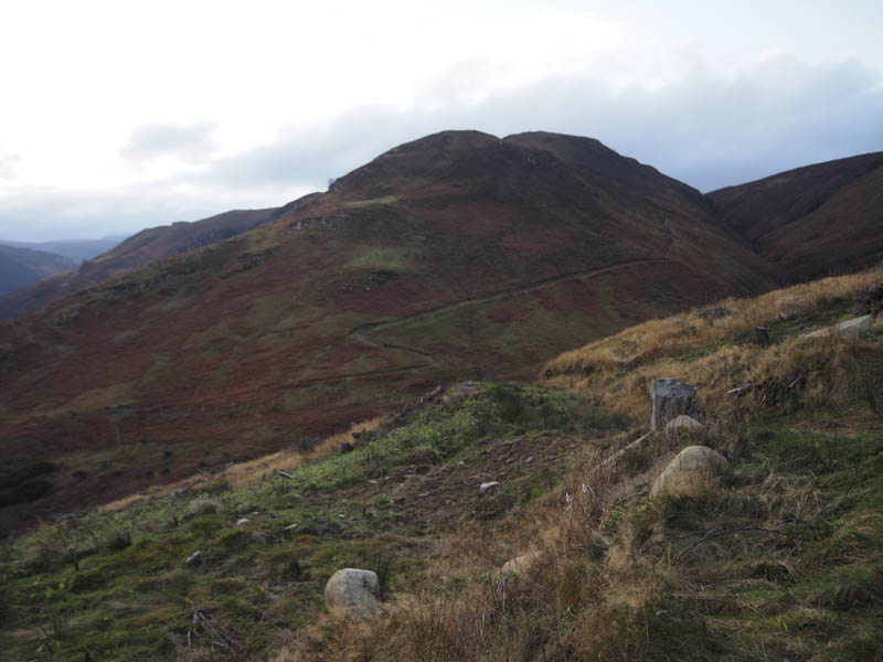
The path shown on my map crossing the hillside below Meall Glac Tigh-fail no longer existed so I crossed a stock fence and walked south-west through longish vegetation with faint traces of the old path. There were also some deer tracks which were useful especially finding a route across a rocky gorge.
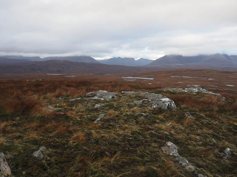
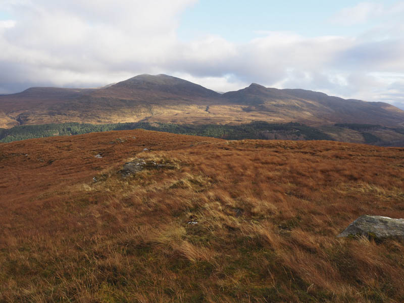
The deer tracks later headed south then further on I left them and climbed through heather and grasses, wet in places, but the ascent was easy enough passing several knolls to reach the summit of Carn Mhic Ruairidh. The highest point of this Tump was an outcrop. There was a cold wind blowing here but I found some shelter behind rocks for a fuel break.
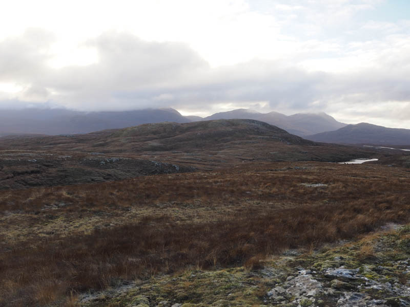
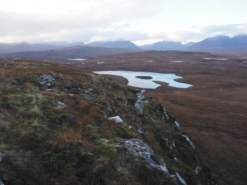
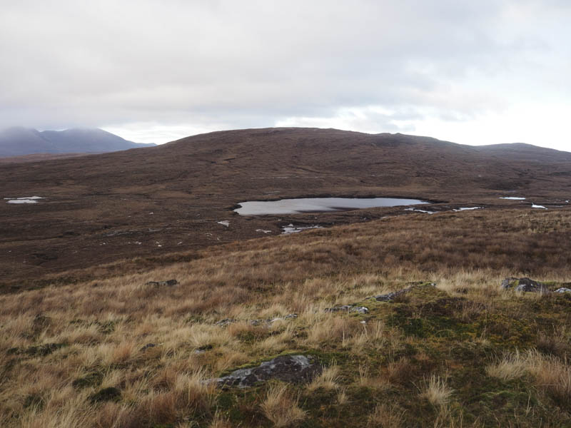
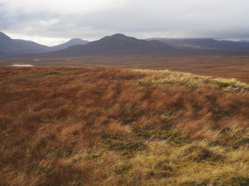
Afterwards I descended south passing to the east of Loch an t-Sidhein before ascending the Tump, Carn Breac Mor, where another outcrop marked the highest point.
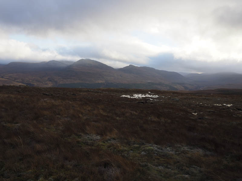
The route off this hill was to the south-east and into some wet ground to the north of an unnamed lochan then I ascended Carn Breac Meadhanach, the highest point of this Tump was an outcrop on a small knoll.
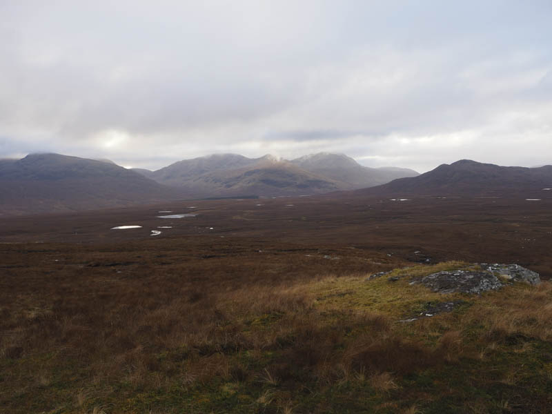
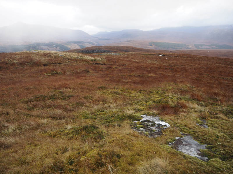
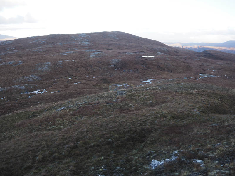
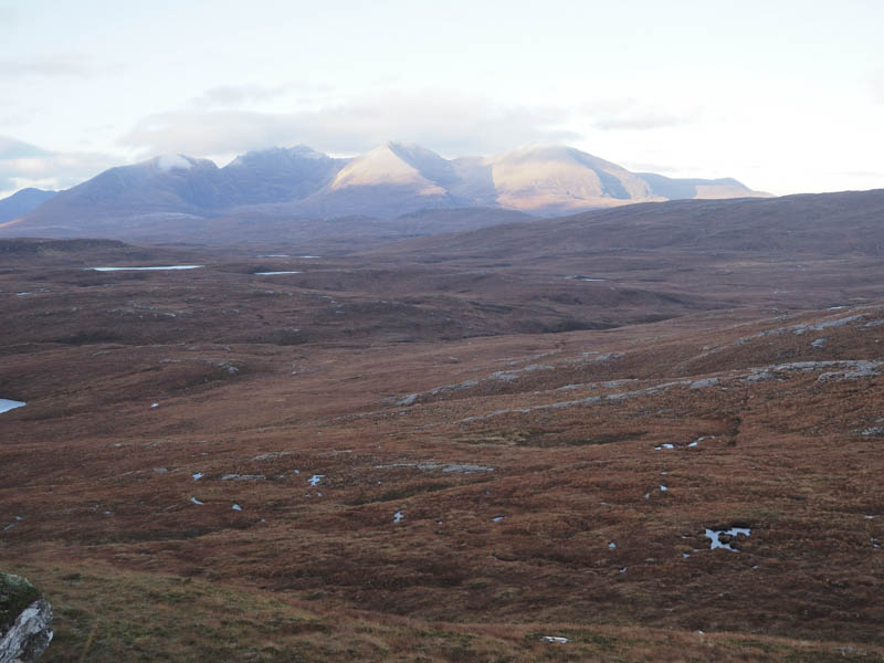
From here I continued in a south-easterly direction descending through ground that was rather wet with numerous pools of water. Once through this area I climbed the Tump, Carn Breac Beag, the highest point being a knoll WNW of the trig point. I also visited the trig where I sat for a while partaking of lunch with a view.
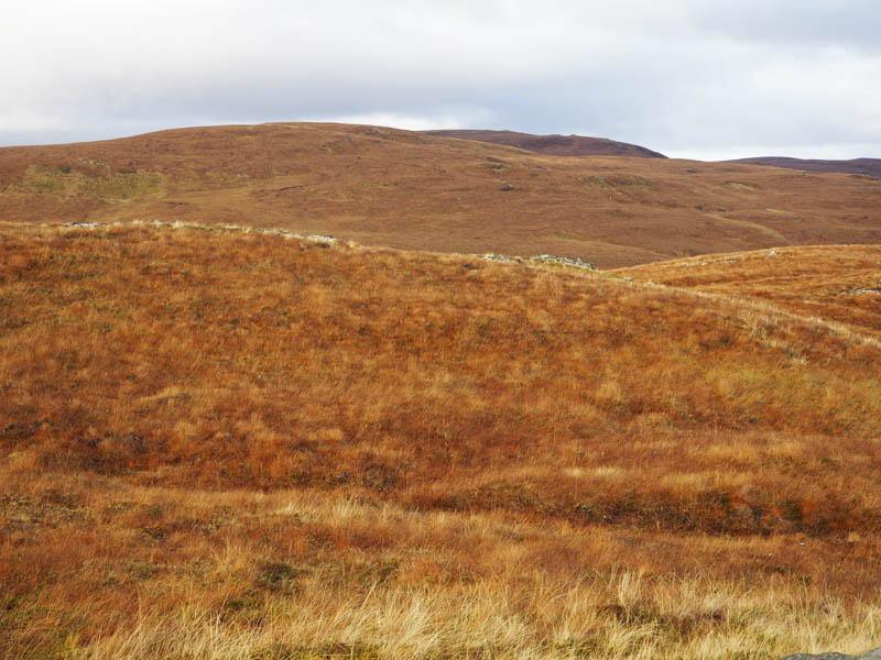
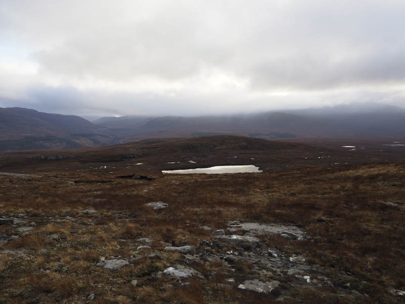
It was then time to return to my car with two options, one to descend north-east into Strath More with the drop steepening then following the track north on the west side of the River Broom or head north and locate the path above the Alltan Odhar. I opted for the latter so descended Carn Breac Beag, then through some more wet ground before crossing the hillside to the east of Carn Breac Meadhanach. The underfoot conditions weren’t too bad, just a few undulations in addition to the wet ground.
On reaching the path indicated on my map as starting beside the Allt a’ Gharbhain there was no trace of it so I descended NNE towards the gully of the Alltan Odhar as I knew the track there existed. I had spotted it on my ascent of Carn Mhic Ruairidh. There were some deer tracks through the heather before I located the vehicle track prior to its crossing of the Alltan Odhar and used it to descend to the house at Auchlunachan followed by a short road walk back to my car.
- Time taken – 5.5 hours.
- Distance – 13.25 kilometres.
- Height climbed – 720 metres.