I initially parked on the verge of the A861 at Inverailort, just south of the junction with the A830 at Lochailort, but a local suggested parking on the waste ground beside the cottages which was fine by me. I then set off east along a grassy track, through a couple of gates, to some old brick buildings.
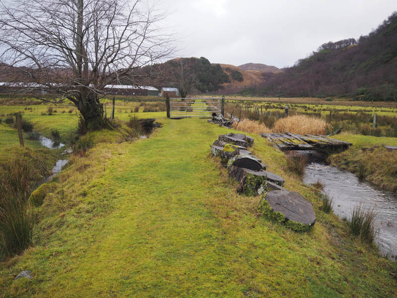
Beyond, the ground was waterlogged and a wee stream was running fairly high and once across it I was onto the rough and rather wet path to the south of Tom Odhar.
I planned to include this Tump so left the path and climbed fairly steadily through a few trees to the summit where there were some reasonable views of Loch Ailort.
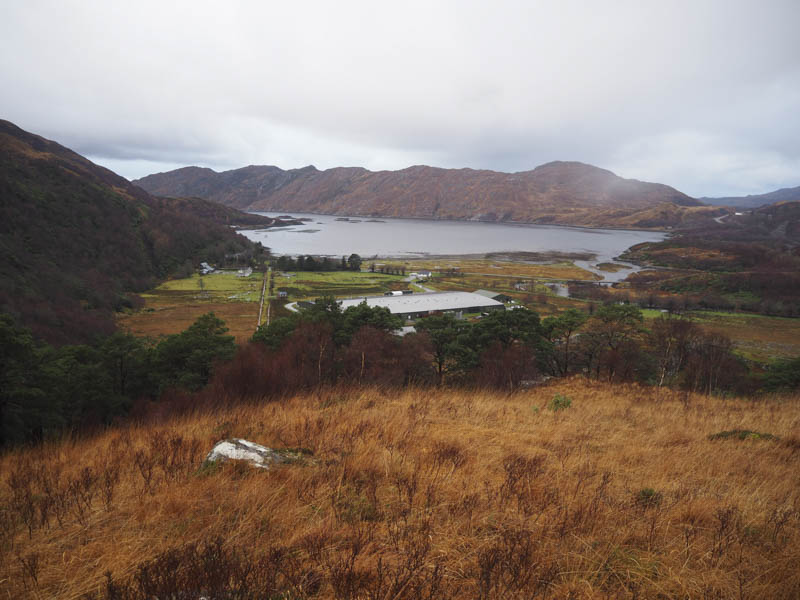
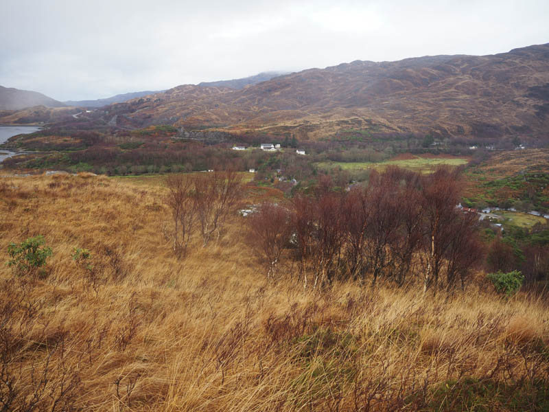
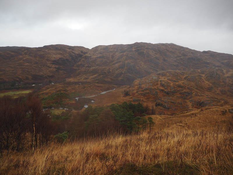
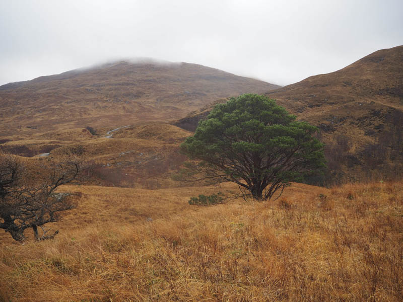
I then descended in a south-easterly direction to re-join the path before it connected with the vehicle track on the west side of the Allt a’ Bhuiridh. This track led to a small hydro electric dam further up the stream which was in spate. I hadn’t planned to include Sgurr na Ba Gaise which was fortunate as I wouldn’t have been able to cross the stream.
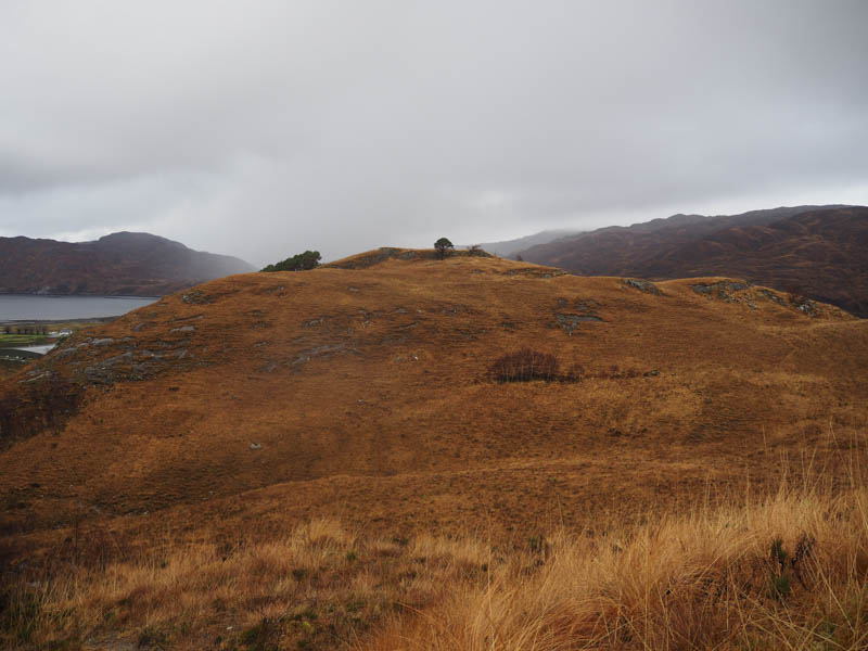
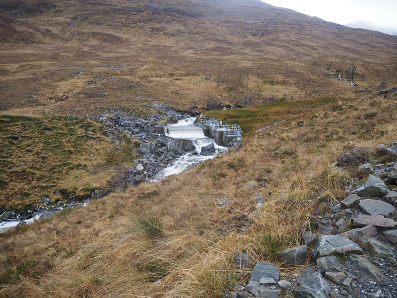
Beyond the dam a wet and boggy ATV track continued south up the glen and I used it to reach Coire a’ Bhuiridh.
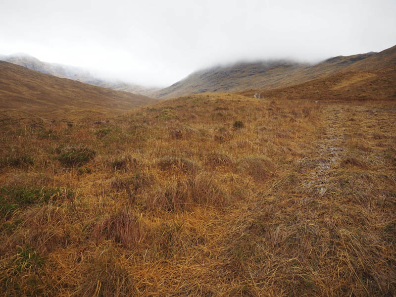
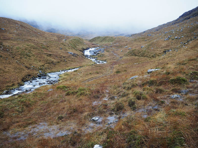
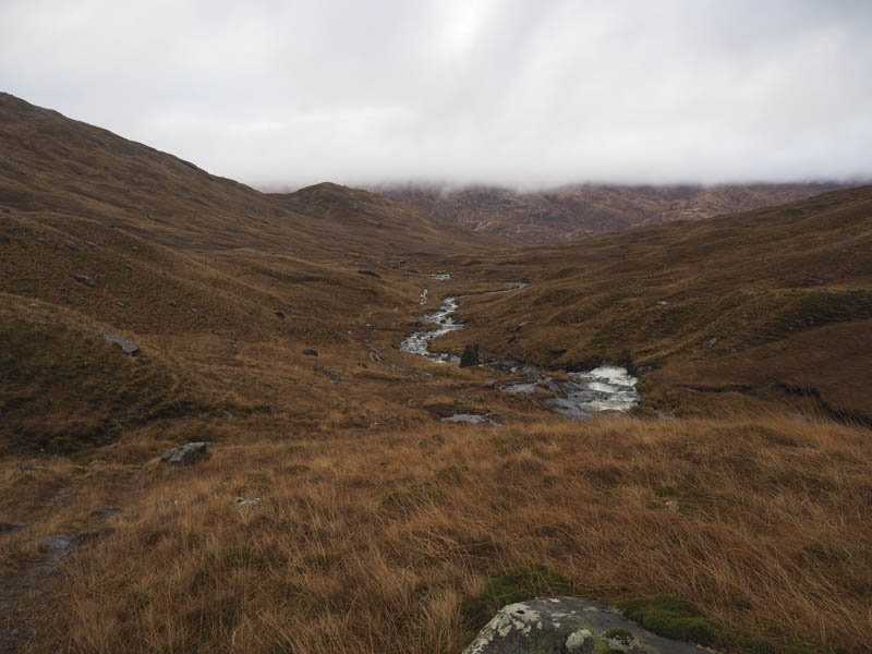
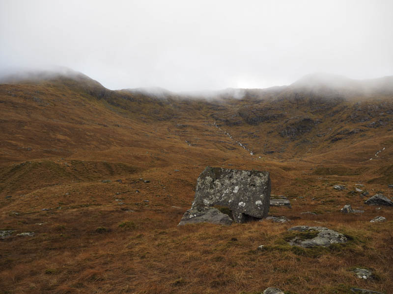
I then crossed pathless terrain to gain the col between Rois-Bheinn and An Stac from where I commenced the ascent of Rois-Bheinn. Although I was now in the cloud there were traces of a path as well as an old stone dyke and metal fence posts to follow. This took me to the Bealach an Fhiona then it was a steady climb to the summit of the Corbett, Rois-Bheinn, which was marked by a cairn. The trig point no longer exists.
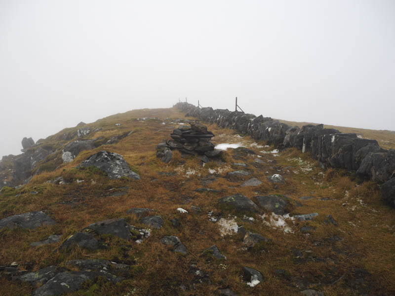
I had encountered some heavy showers but on arrival at this summit it started to snow so I turned about and retraced the route back to the col with An Stac. I then commenced the ascent of this Corbett managing to avoid most of the crags and boulders to eventually reach the summit cairn in a hail shower.
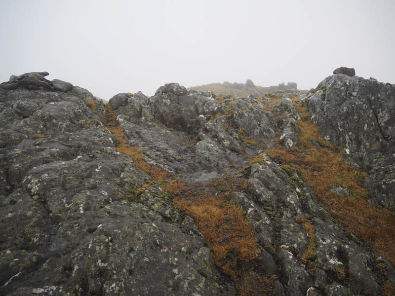
The descent of An Stac was quite tricky in the low cloud trying to avoid the rocky sections and with the vegetation slippery especially higher up after the hail. Progress was slow but eventually I reached the col with Seann Chruach then ascended this Tump. I descended north-east soon emerging from the cloud as I headed for the Allt a’ Bhuiridh dam. On reaching the vehicle track it was followed until I left it and took the path below Tom Odhar to return to my car as darkness was falling.
- Time taken – 7 hours.
- Distance – 13.25 kilometres.
- Height climbed – 1230 metres.