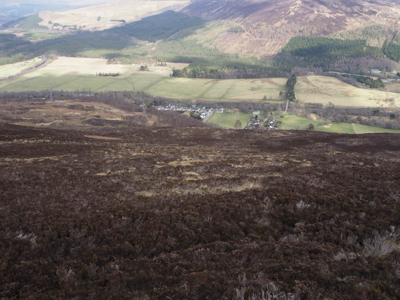
Meallan Odhar – I left my car on the south verge of the A832 Garve to Achnasheen Road immediately south-west of the Strathbran Plantation, although the majority of the trees had been felled. (Grid Ref. NH199599) I then crossed the road and walked up a short section of tarred road to a padlocked large metal gate in a deer fence. To the right of the gate I crossed a wooden fence then the deer fence which gave access to the vehicle track on the other side. This track led north-east then north up the side of the deer fence.
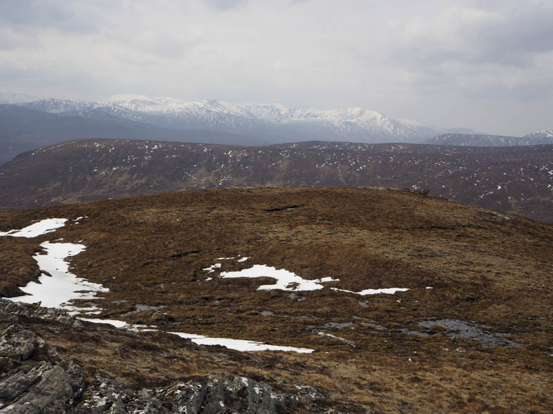
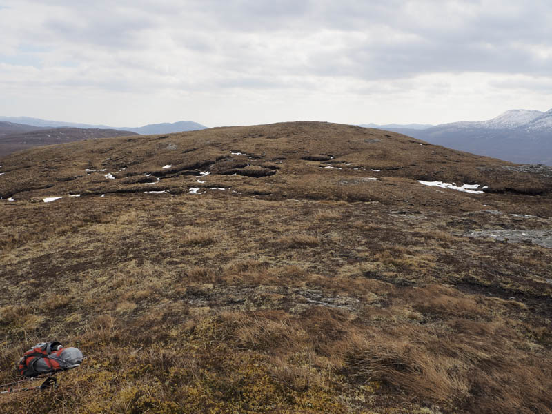
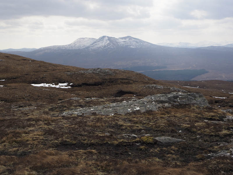
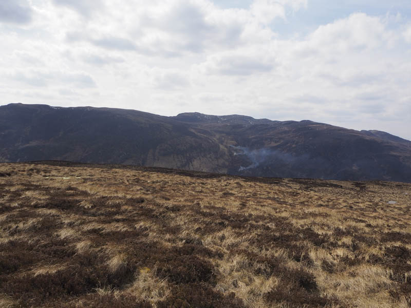
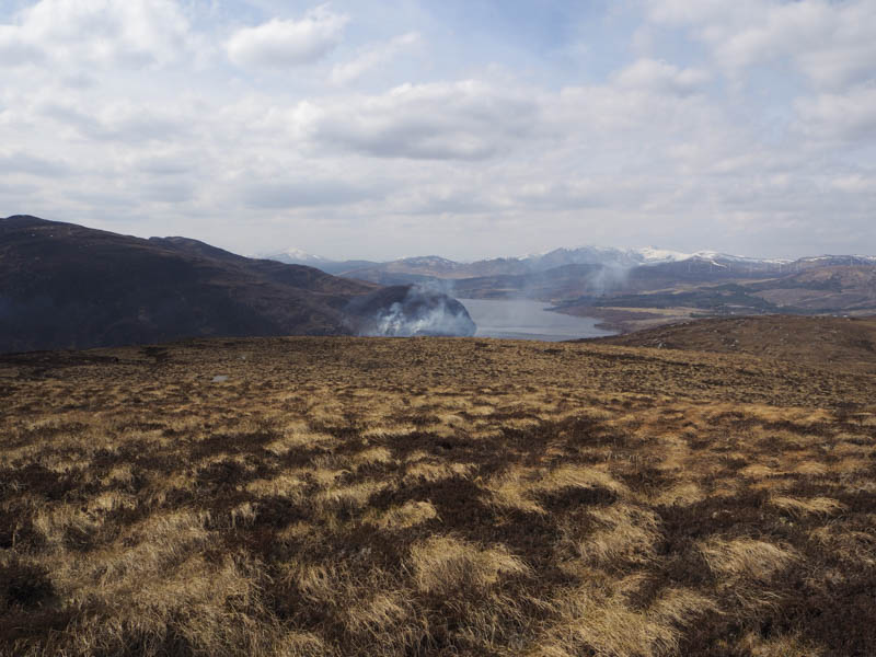
Beyond the plantation I left the track and climbed north-east through rough vegetation and some wet ground to reach the foot of Meallan Odhar. The gradient then increased as I headed for the summit of this Hump, avoiding most of the snow patches. The actual highest point was an outcrop but I also visited the cairn a few metres to the east. I then crossed over to the lower West Top where the views were better.
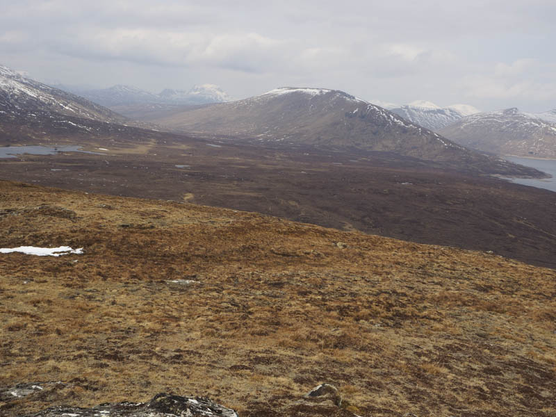
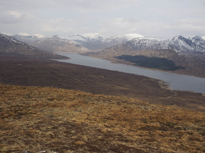
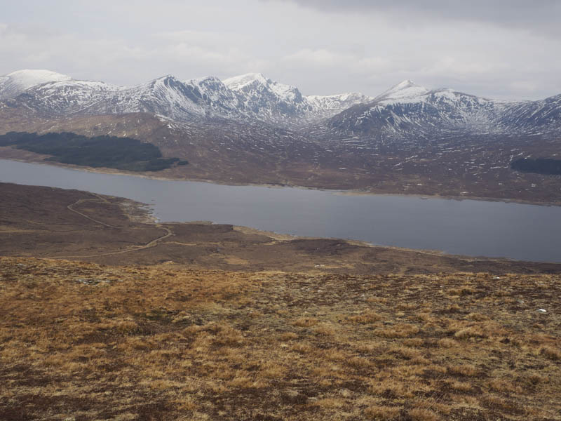
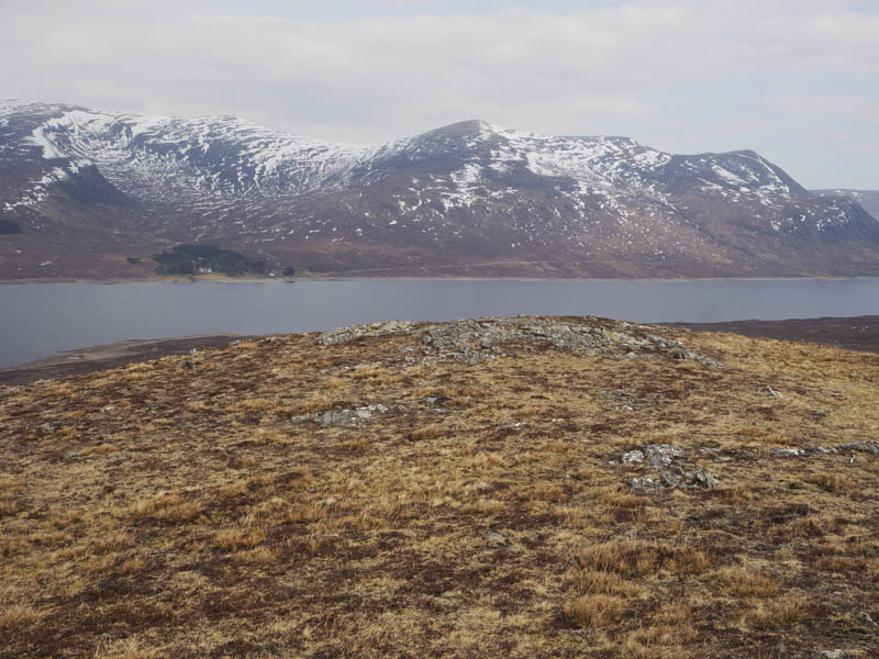
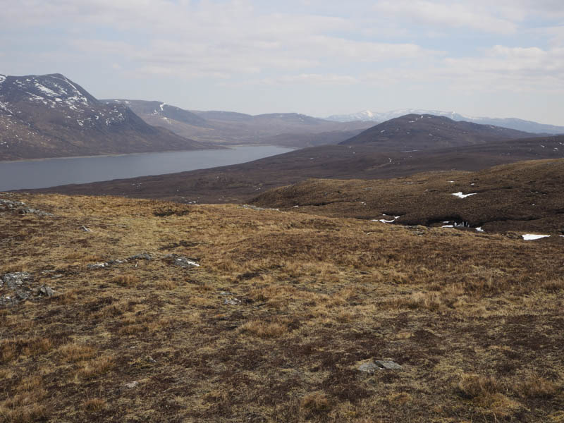
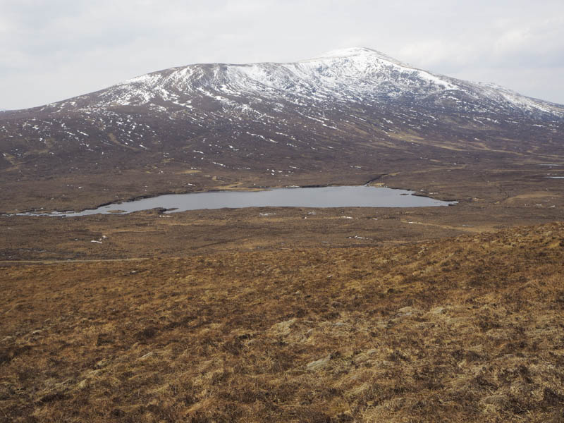
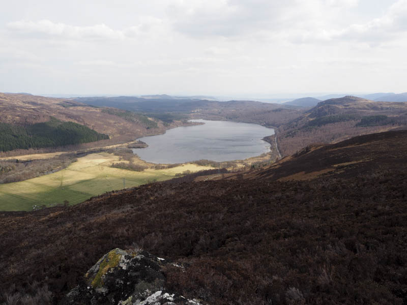
After a break here I descended the west ridge where compared to the ascent route the going was easier. Above Loch na Moine Beag I rejoined the vehicle track which was followed back to the start.
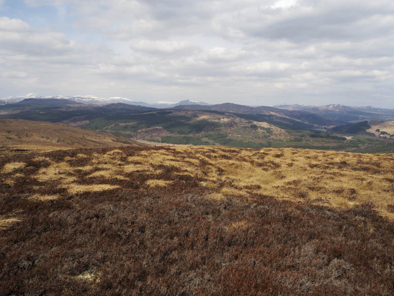
Cnoc na h-Iolaire – This Hump was located south-west of the village of Garve. I left my vehicle at the start of the vehicle track on the west side of the A835 just outside Garve. (Grid Ref. NH398604) Beyond a locked stock gate the vehicle track led steeply uphill in a south-westerly direction. At a junction of tracks beside the electric pylons I went left and the track, still fairly steep, led through zigzags to the bealach between Carn Faire nan Con and Cnoc na h-Iolaire.
Here I left the track; initially there was a short steep section, before the gradient eased considerably
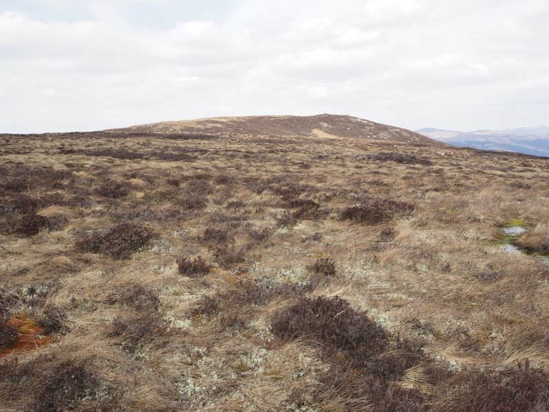
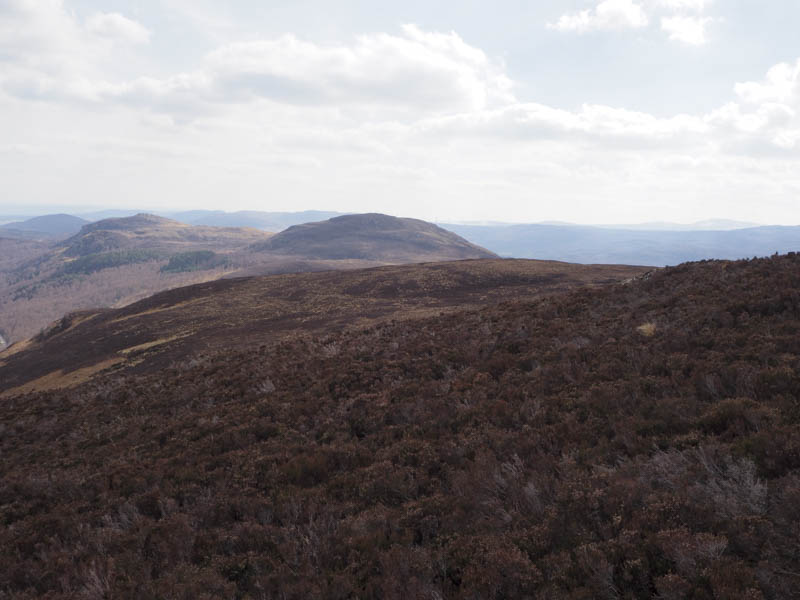
. The walking was then awkward and tiring as I headed through long heather and some wet ground. After over a kilometre I reached the summit of Cnoc na h-Iolaire, a clump of heather. I also visited the nearby cairn where I rested.
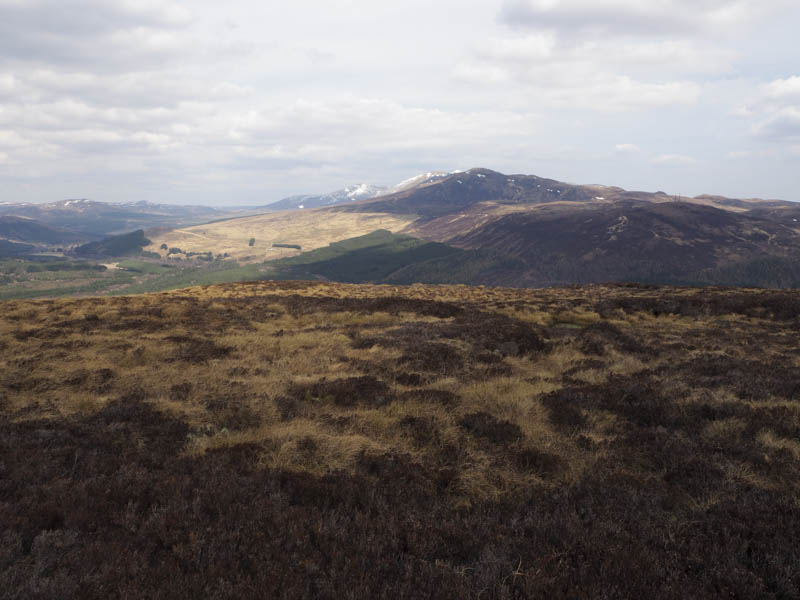
I didn’t fancy returning by the ascent route so took the more direct and shorter route south-east through heather, some wet ground and later dead bracken and considered it to be better than wading through the long heather. On reaching the vehicle track beside the pylons I followed it south to join the track used earlier, then it was a short descent to the starting point.
- Total time taken – 4.5 hours.
- Total distance – 12.75 hours.
- Total height climbed – 660 metres.