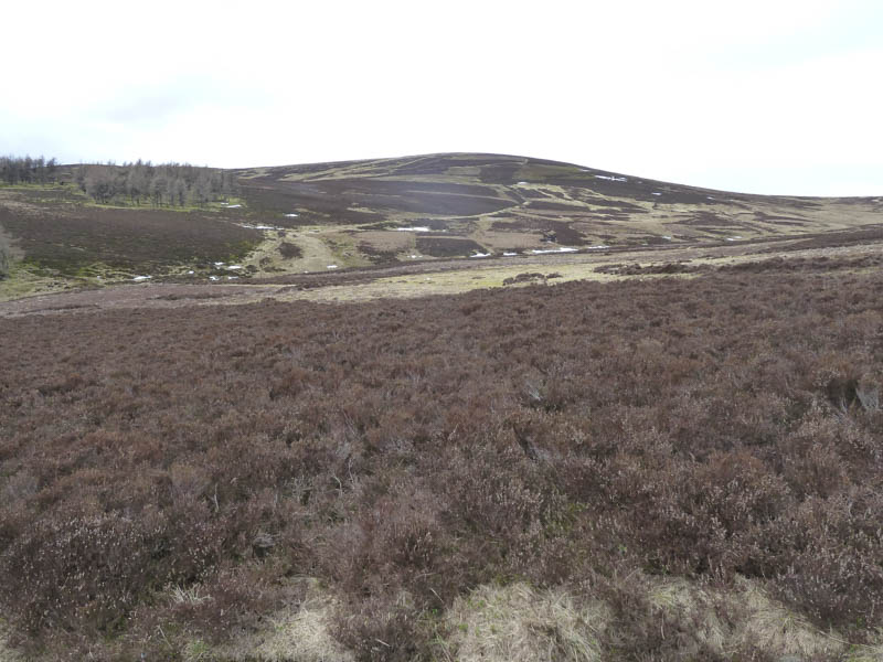
We were in Glen Prosen, accessed from Kirriemuir in Angus, to climb the Hump, Eskielawn. The starting point was north of the farmhouse at Cormuir, which was under renovation, and here new fencing had been erected. However the gates hadn’t yet been installed so I managed to park on the other side of the fence.
It appeared to me that walkers weren’t welcome in this area as a new inappropriate sign stated ‘Deer Stalking in Progress Live Fire Area Enter at Own Risk’. However the vehicle track was a Right of Way to Glens Markie and Isla.
We set off along the Right of Way, disturbing some black and red grouse, with animal traps fixed to wooden posts lying across ditches.
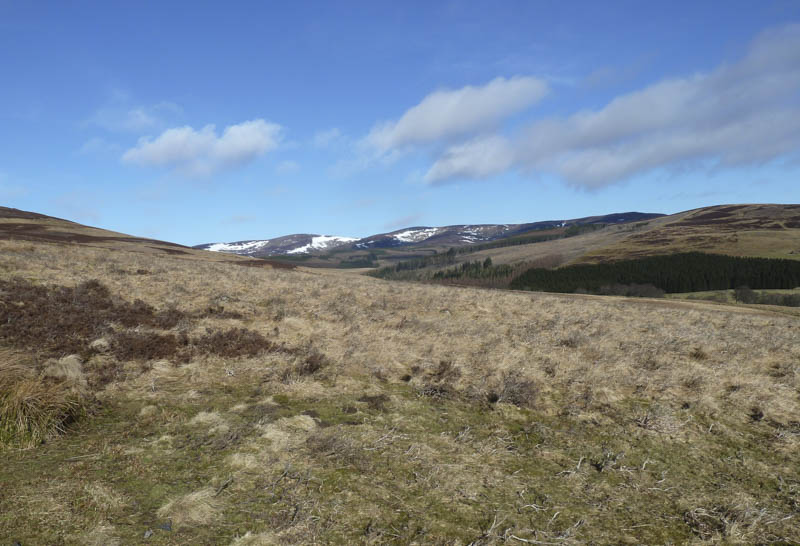
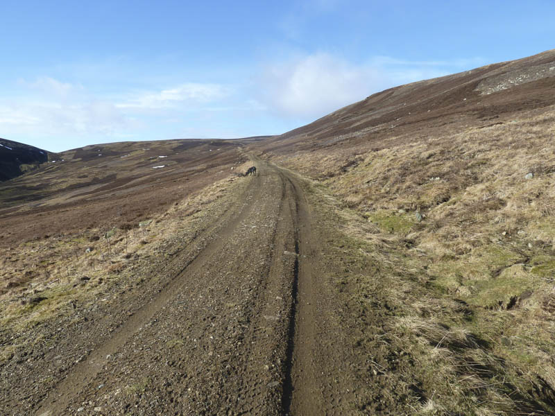
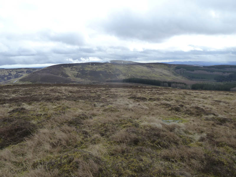
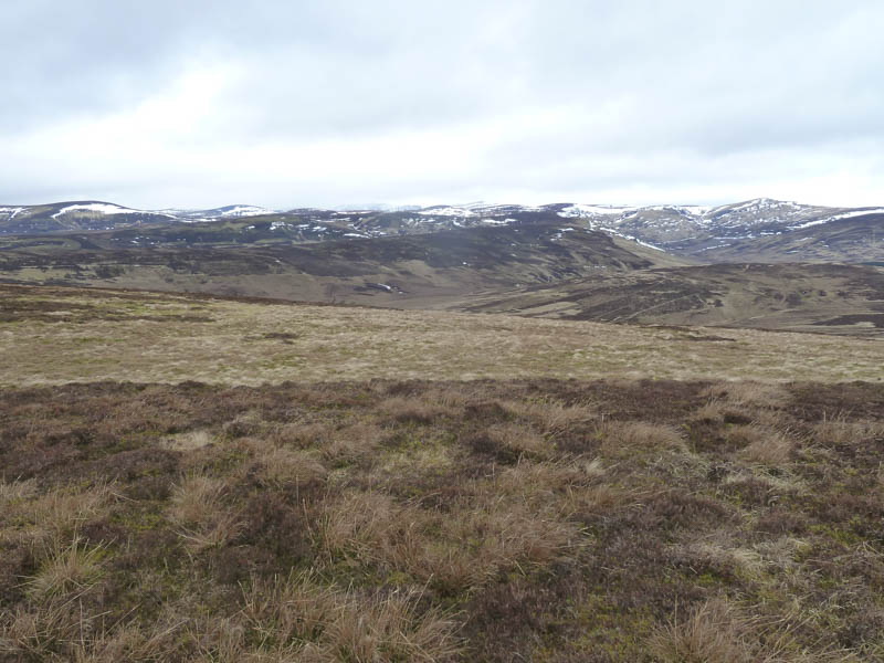
Reasonable progress was made along this track, which was in good condition, passing below the south side of Hill of Strone. Once close to the col with Eskielawn a quad vehicle track headed west so we used it to gain a bit more height.
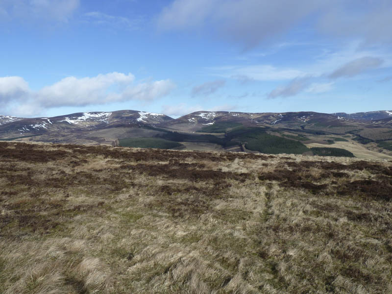
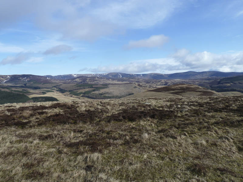
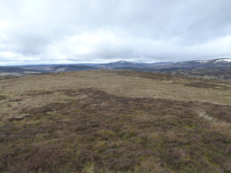
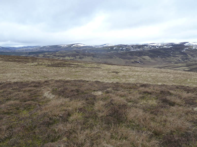
This track led to a gate at a junction of fences then a fainter track was followed north-west on the east side of the fence, which we later crossed. An area of wet and boggy ground was encountered as we walked south-west towards the summit of Eskielawn. With a bit more height the underfoot conditions improved and here there were several mountain hares easily spotted amongst the vegetation as they still had their white/grey winter coats. The summit cairn was reached and here it was rather windy but we found some shelter in a hollow for a coffee break.
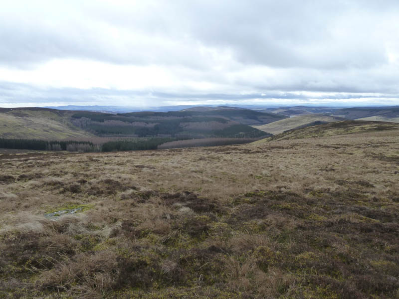
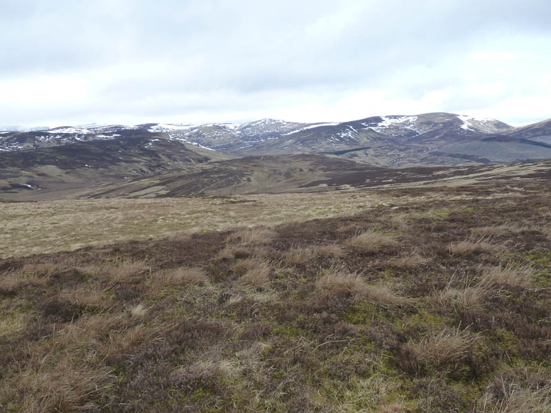
After the earlier sunny conditions cloud was now gathering on the hills to the west so we left the summit and descended south-east then used quad vehicle trails to reach the Right of Way just north-east of the Drumshade Plantation. A short descent took us to a ford then some height was gained to reach the vehicle track at the point we had left it earlier in the day. It was then downhill to the starting point.
- Time taken – 2.5 hours.
- Distance – 8.25 kilometres.
- Height climbed – 385 metres.