I parked on an area of ground at the end of the public road south of The Craigs, accessed from the A836 at Ardgay then along the single track road in Strathcarron. We walked south, crossed the road bridge over the River Carron, then through the property at Glencalvie Lodge.
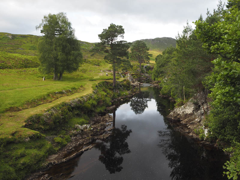
Still within the precincts of the Lodge we crossed a bridge over the Water of Glen Calvie then followed a vehicle track towards some houses. Immediately prior to them another vehicle track rose steeply south with the gradient later easing prior to reaching a ‘T’ junction. Here we went left, east, into and through a forest.
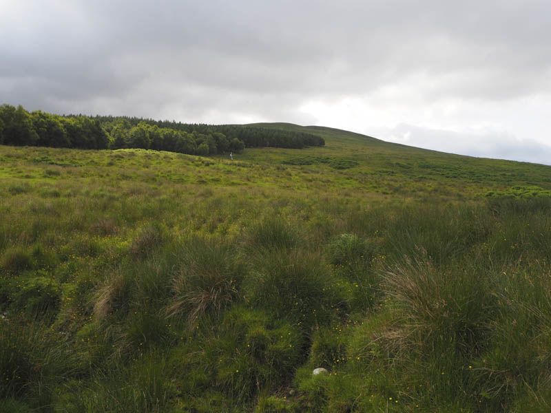
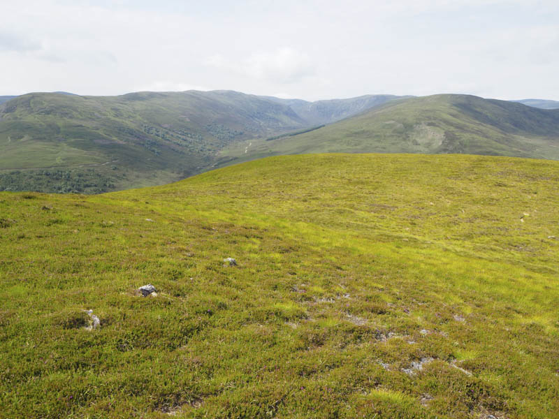
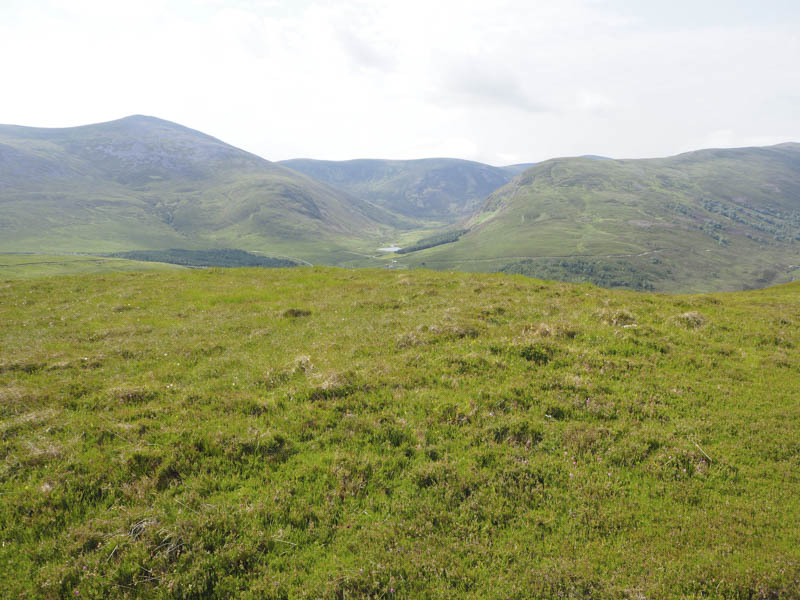
On emerging from the trees the track was now heading south-east above Srathan Dubh Torr an Eich. At the tracks highest point we left it and climbed fairly easily south-west through a mixture of grass and heather to reach the summit of the Hump, Cnoc na Tuppat, which was marked by a cairn.
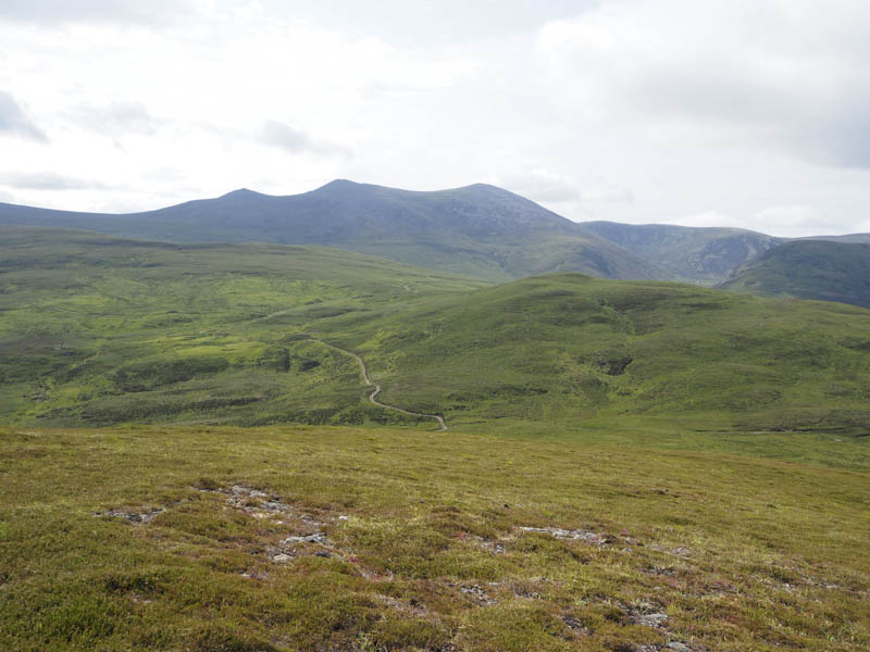
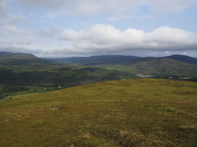
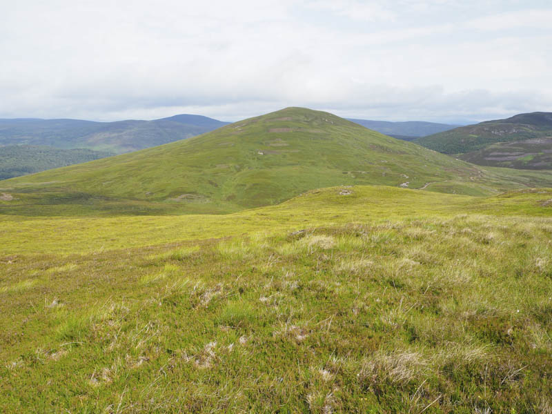
Despite a few clegs we sat here for a while taking in the fine views before descending south-west to the col with Cnoc na Tuirbhe before ascending this Tump. Its highpoint was a heathery mound.
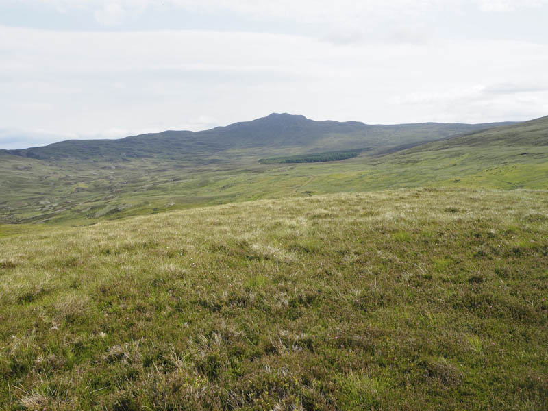
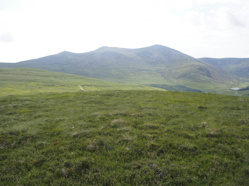
The descent west was initially across easy ground then it was a steep drop through heather and stones into Glen Calvie. We then walked south down the Glen to the lodge and my car.
- Time taken – 3.5 hours.
- Distance – 9 kilometres.
- Height climbed – 465 metres.