I left my car at the west side of the A939 Tomintoul to Grantown on Spey Road on the bend at NJ08820 then walked a short distance east to cross a stock fence and commence the ascent of the Hump, Baddoch.
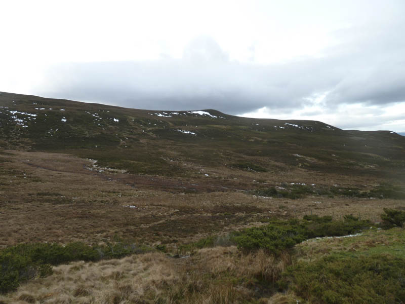
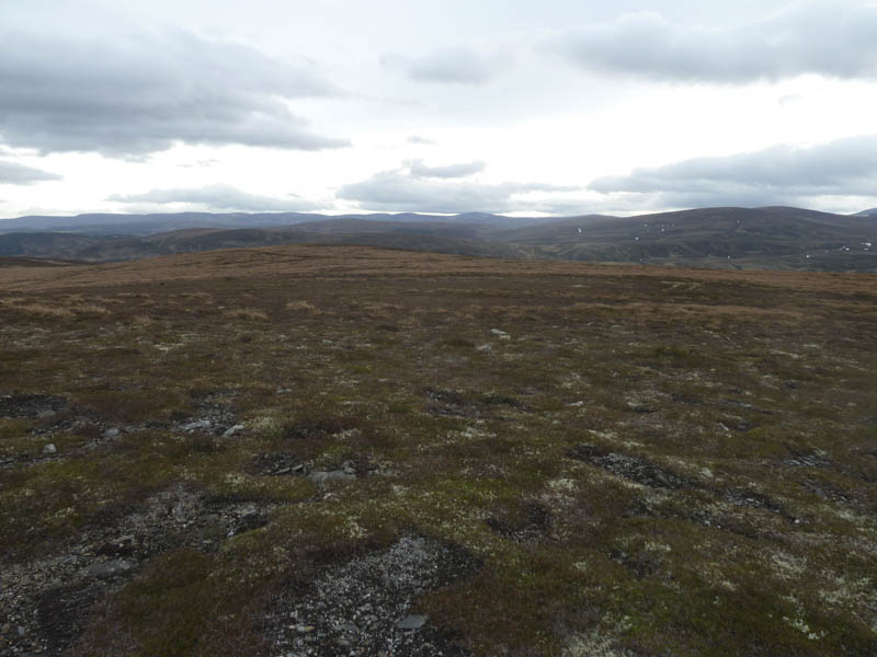
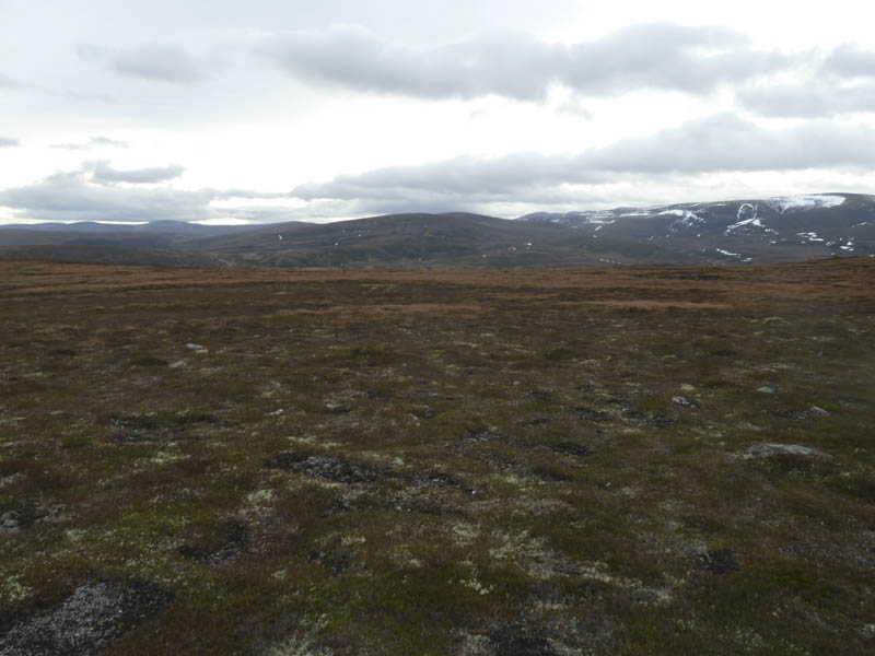
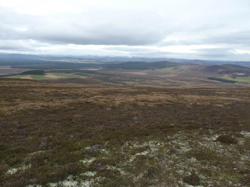
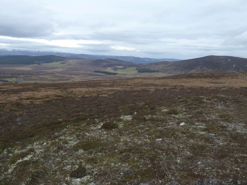
This took me across some ice covered vegetation. The electric pylons shown on my map had been removed a few years ago. Beyond the icy ground, the heather was fairly long and in places tussocky but I soon reached and crossed the stock fence on Baddoch’s North-East Ridge. I then followed what were probably animal trails to gain the North-East Top.
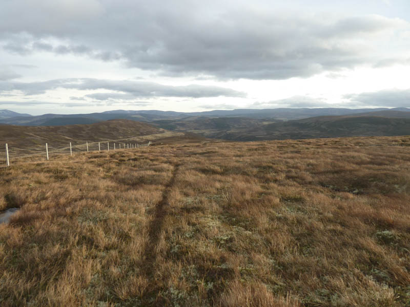
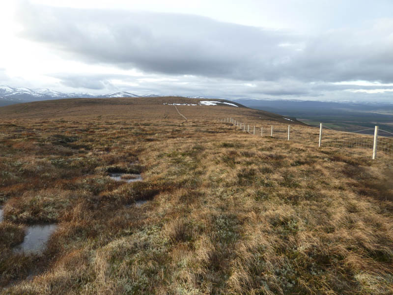
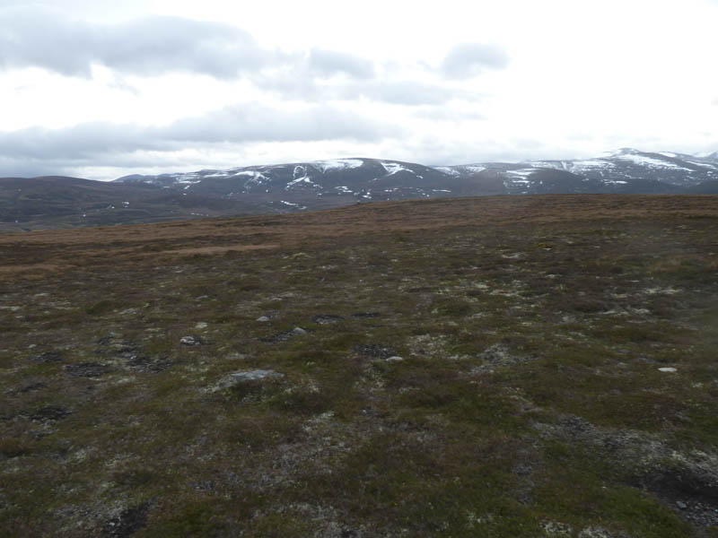
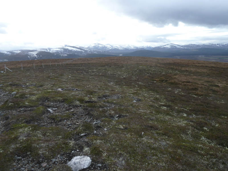
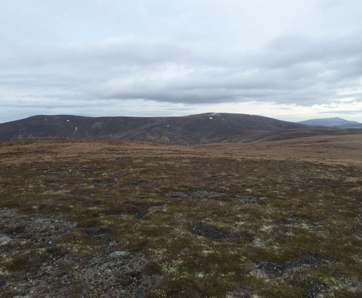
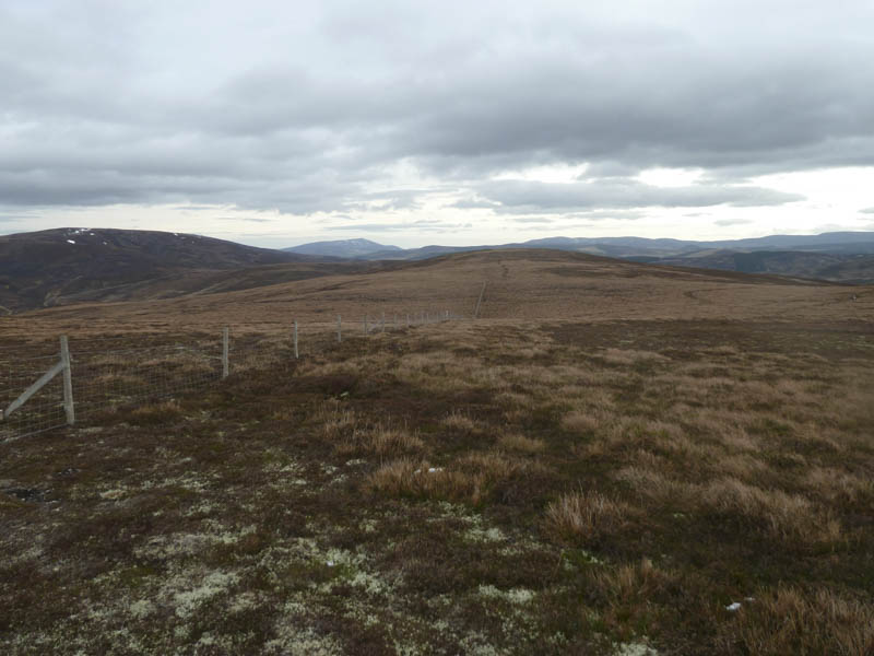
In windy conditions I made the short descent south-west to some wet and boggy ground where a drainage channel had been dug. This made little difference as it was a slow bog hop to reach a junction of fences. Once over one and just beyond a stile was the cairn marking Baddoch’s highest point.
The return was by the upward route.
- Time taken – 1.25 hours.
- Distance – 4 kilometres.
- Height climbed – 160 metres.