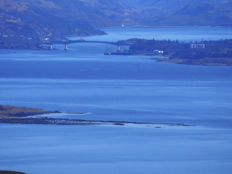
Creag Strollamus and Glas Bheinn Bheag – The starting point for the ascent of these two hills was beside a stock gate on the A87 Broadford to Sligachan Road, south of the hamlet of Strollamus. (GR NG600266. Parking was a bit tight here with space for only a single vehicle.
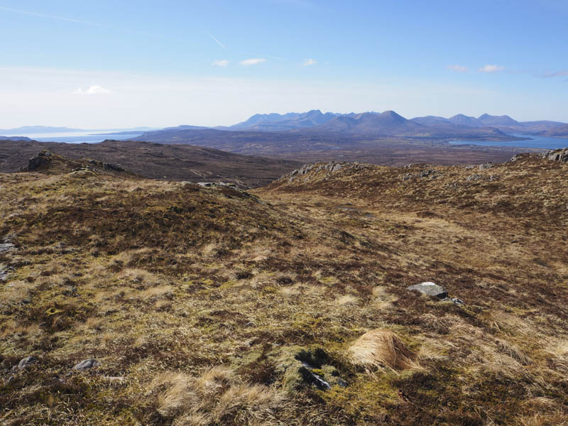
I passed through the gate and walked west along a vehicle track, part of the old road to Luib. After a second stock gate I left the track and headed south through some short, damp vegetation then higher up heather. I crossed the Allt Apoldoire then gradually turned east as I headed for Creag Strollamus. Higher up there were some boulders before I reached the summit of this Hump marked by a cairn.
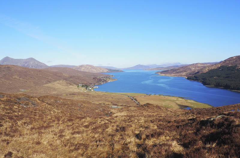
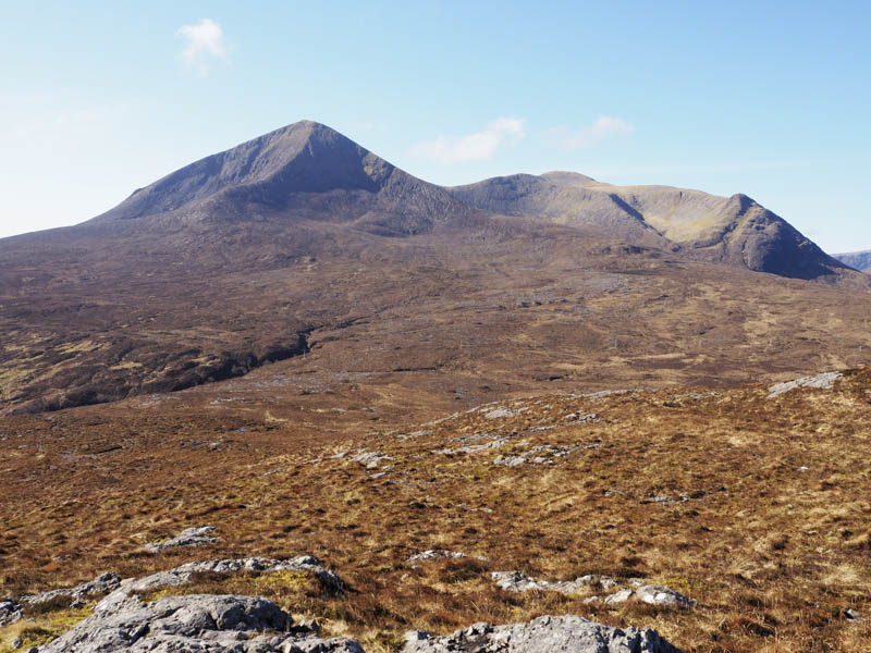
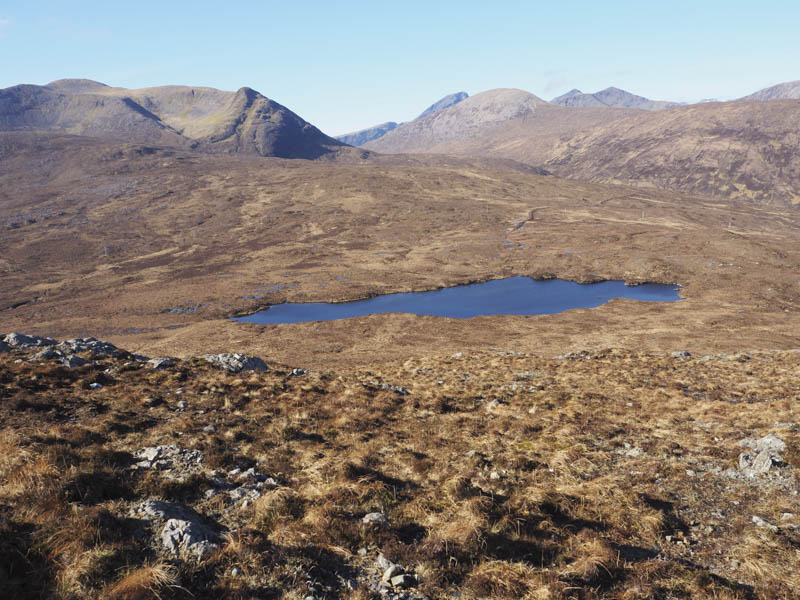
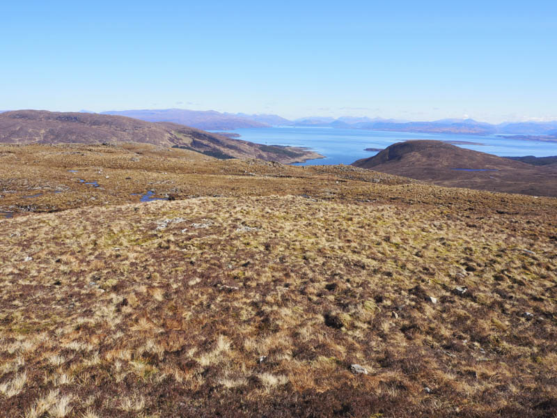
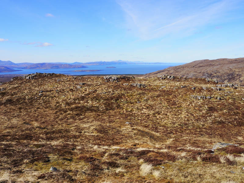
It was sunny with a cold breeze but I sat here for a while taking in the views before descending west to the north side of Loch Cull na Creig and to an old stone dyke. The ground and vegetation was now rougher then the heather became longer and the walking a bit awkward as I descended more steeply to the Allt na Teangaidh, crossing it south of a small dam.
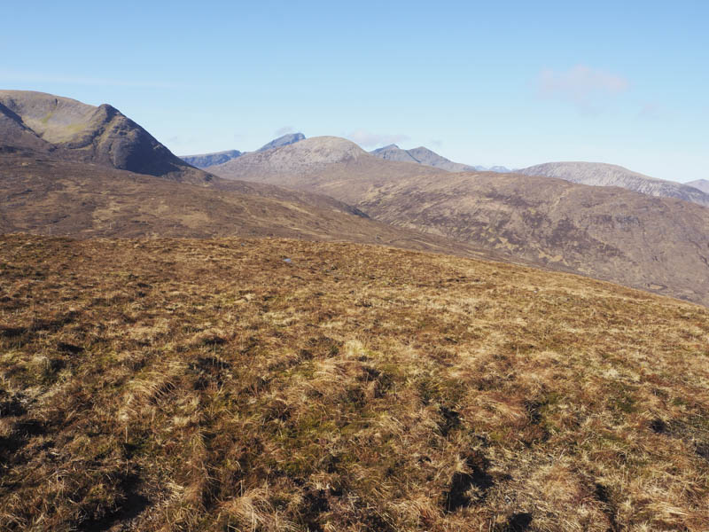
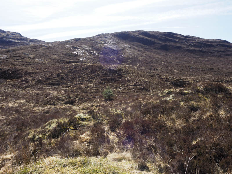
I crossed some more long heather then the Allt Strollamus before commencing the ascent of Glas Bheinn Bheag. It was a steep climb west onto the north-east ridge then a short walk to the summit of this Tump, also marked by a cairn.

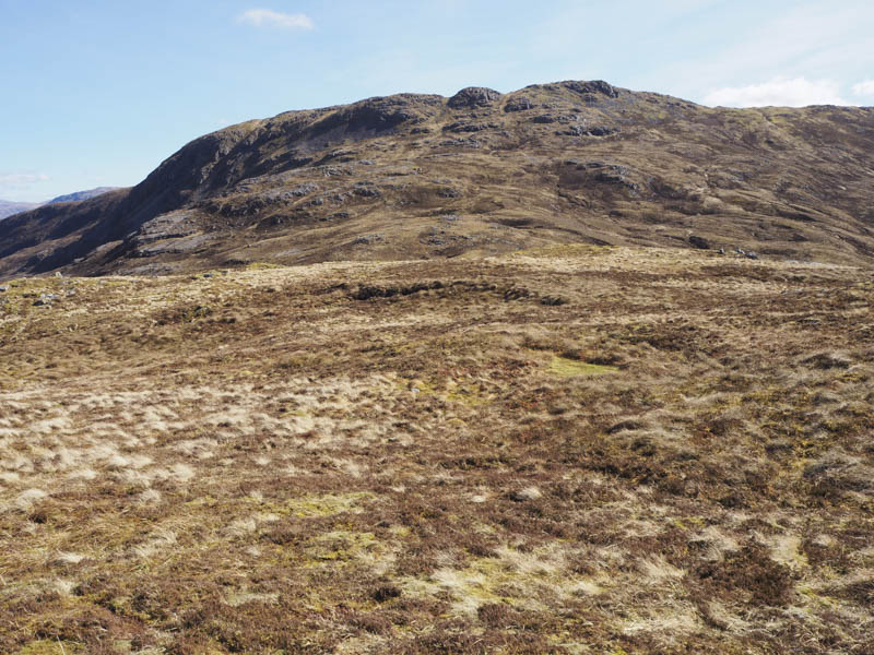
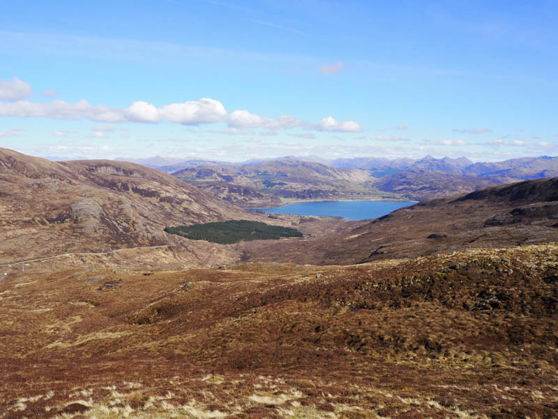
Again I sat at the summit taking in the sunny views before returning down the ridge later leaving it as the ridge turned north. The descent was fairly steep and I had to avoid some outcrops and steep drops before joining the old Luib Road west of the bridge over the Allt Strollamus. I then walked along this road passed a sheep pen where the crofter was working with his sheep, and back to my car.
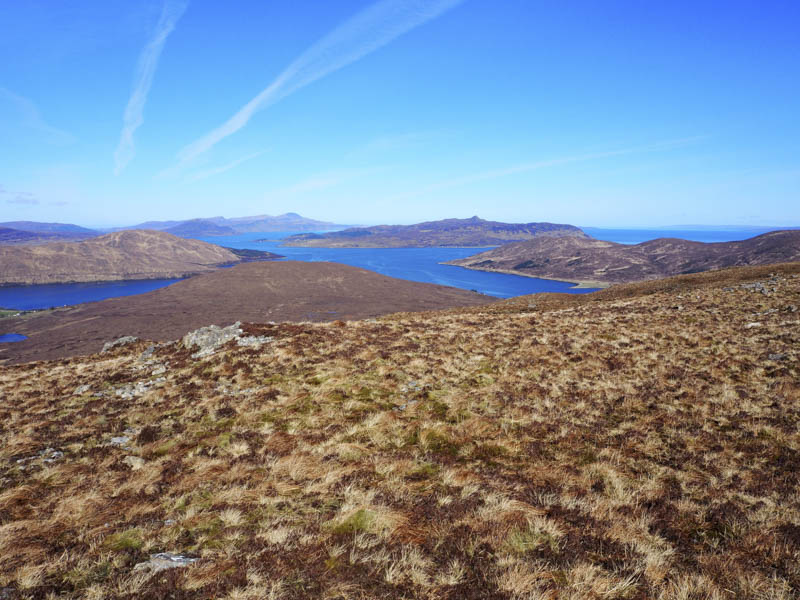
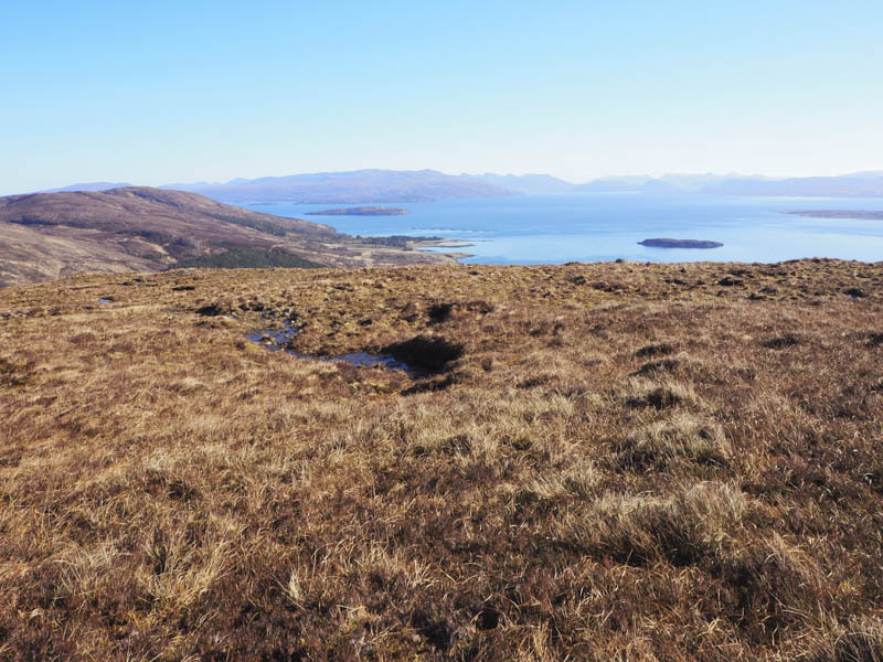
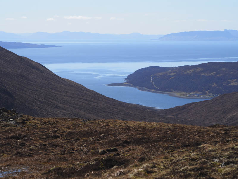
Beinn Bheag – As it was still a fine day to be on the hills I headed for the Kylerhea Road, accessed from the A87 Broadford to Skye Bridge Road, and drove up Gen Arroch parking at the Bealach Udal, where there was space for a single vehicle. A short descent south took me through long and soft vegetation before turning south-west looking for an easier ascent route. The underfoot conditions improved a bit and I did find what appeared to be traces of a path but had to leave it to ascend Beinn Bheag. The highest point of this Tump was marked by a cairn.
I returned by the upward route but didn’t find the path on the descent.
- Total time taken – 5.75 hours.
- Total distance – 10.5 kilometres.
- Height climbed – 720 metres.