I was staying with a group of friends in Newtonmore who planned to climb the Graham, Creag Ruadh, and visit the old fort on Dun-da-lamh. I also wished to climb these hills but to include the Tump, Meall an t-Sithein to the west.
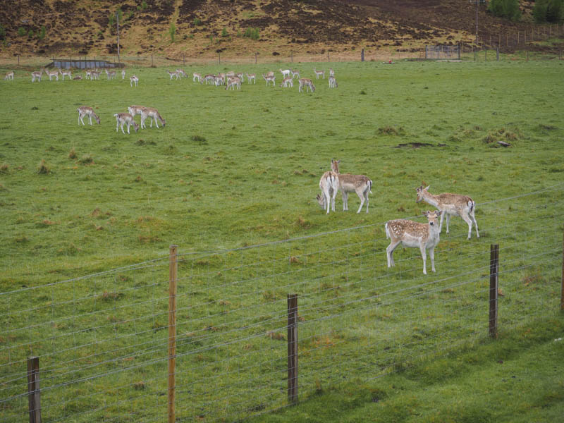
So I drove west along the A86 Newtonmore to Laggan Road then onto the single track road to beyond the Spey Dam parking on the grass beside the bridge over the outflow from Loch Crunachdan. I then walked south-west on the vehicle track passed Glenshero Lodge with farmed fallow deer in the field opposite.
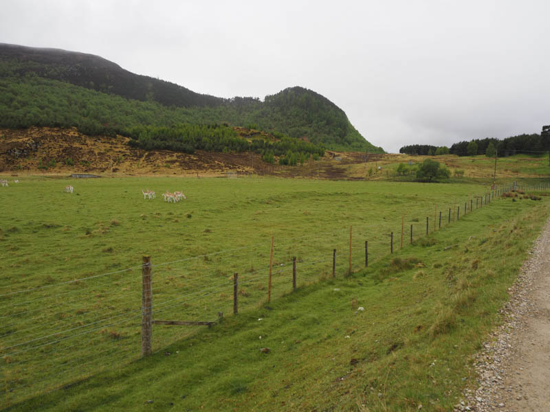
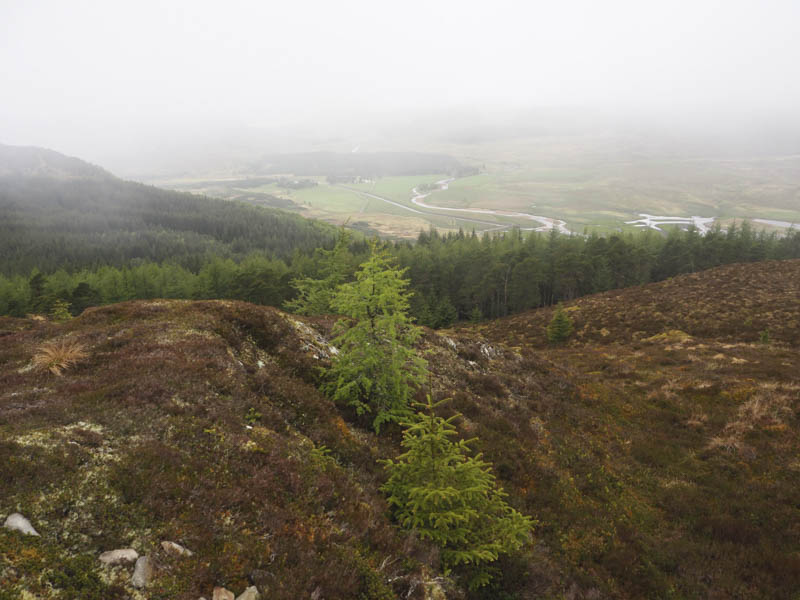
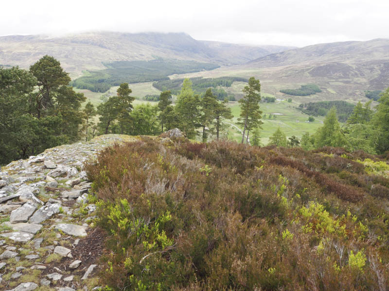
This led to a set of gates in a deer fence and once through the pedestrian gate I continued south along a vehicle track until I came across what appeared to be a path. This took me to a deer fence which I walked round to reach a junction of deer fences and a couple of gates, both locked. I climbed over one of these fences then later another deer fence was crossed. This was followed by a steep climb through vegetation, boulders and well spaced trees. There were also some fallen trees especially higher up making for slow and awkward progress. Eventually I reached the summit of the Tump, Meall an t-Sithein, which was a vegetated knoll amongst the trees.
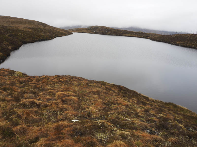
The descent south then south-east through the wood, rough going and boggy in places, led to a deer fence which was crossed before following it east and with low cloud floating around I reached Loch na Lairige.
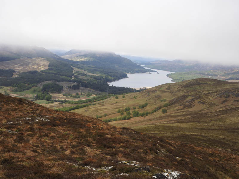
I then ascended Creag Ruadh, the summit of this Graham marked by a trig point. A few minutes later I was joined there by my friends who had come up from Sherrabeg on the south side of the Spey Dam.
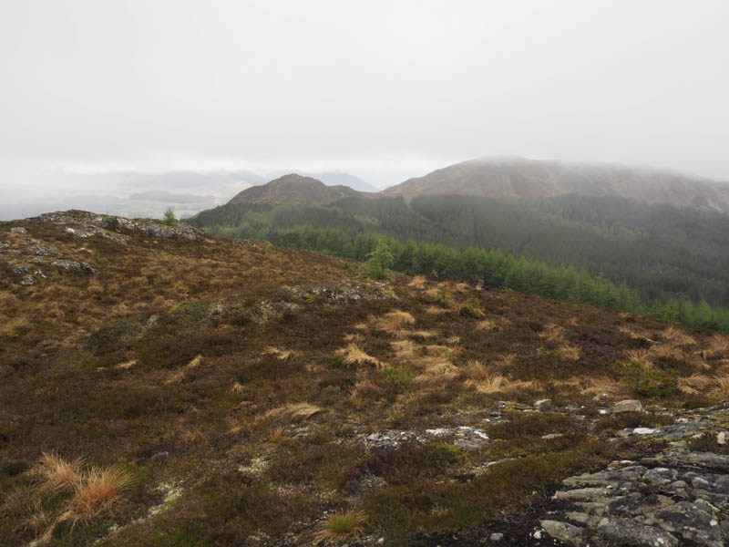
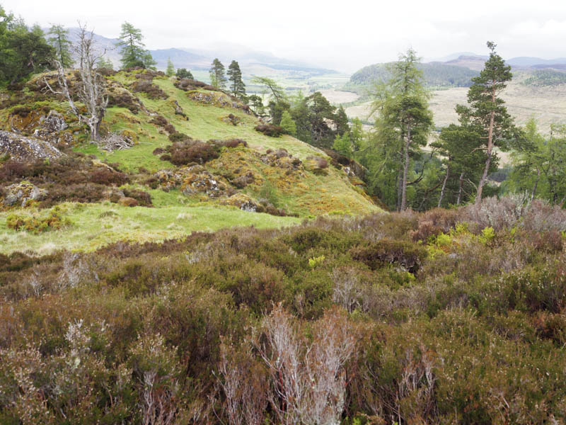
After a break we descended east then south-east before climbing fairly steeply onto the Tump, Creag Ruadh East Top, the summit marked by a fence post.
From there we descended north-east, went through a hole in a deer fence, and followed the ridge which consisted of rough vegetation and widely spaced trees, onto Black Craig. The highest point of this Tump was marked by an outcrop.
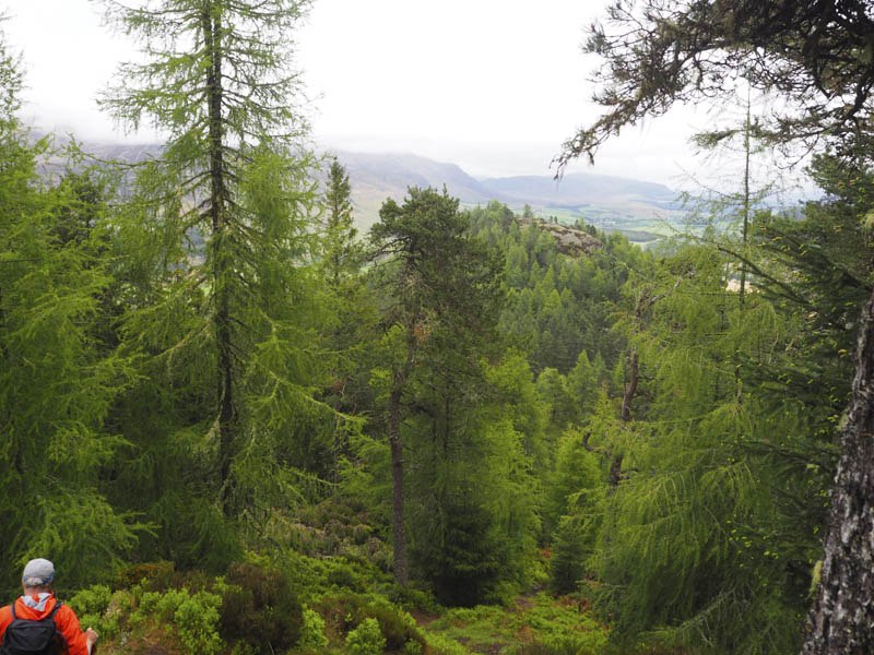
It was then a long steep descent north-east on a narrow path through the trees to reach the col with Dun-da-lamh followed by a steep climb, latterly on a stony path, onto the summit of Dun-da-lamh. The highest point of this Tump was rocks at the north-east corner of the ruined fort.
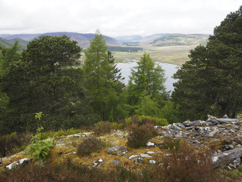
After another break we returned to the col and followed forest tracks to the single track road at the east end of the Spey Dam where a car had been left so I was able to get a lift back to my vehicle.
- Time taken – 5.5 hours.
- Distance – 11 kilometres.
- Height climbed – 560 metres.