The starting point for this outing was the lay-by on the A832 Garve to Achnasheen Road opposite the vehicle track to Fannich Lodge.
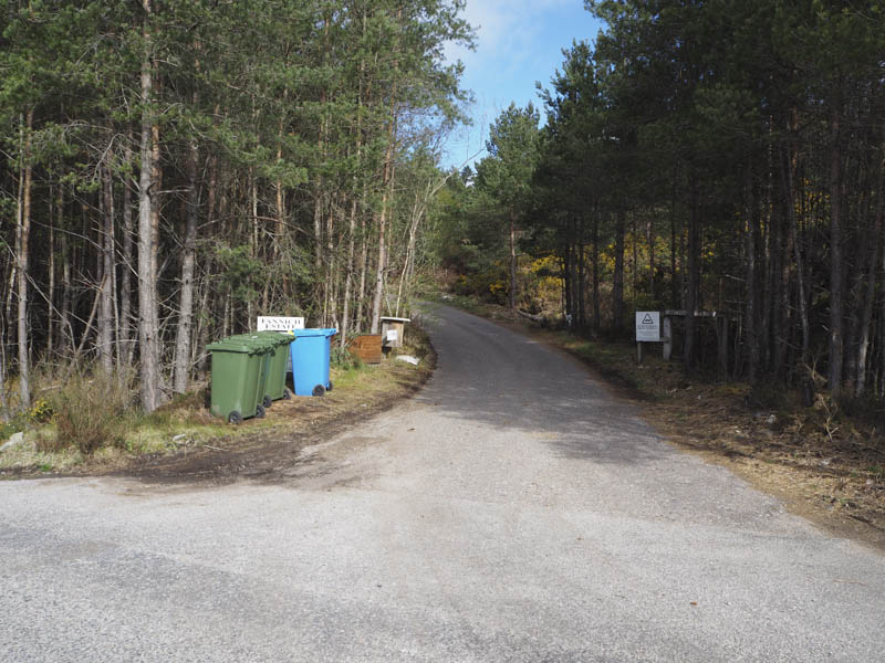
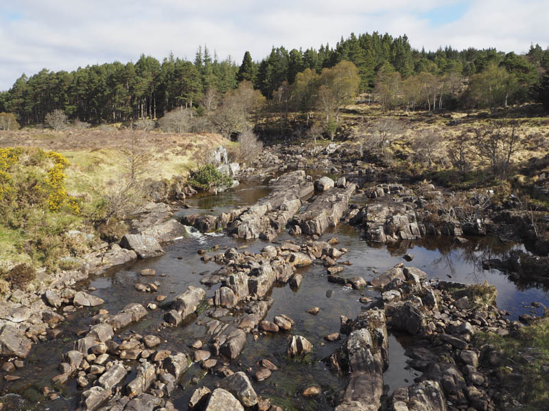
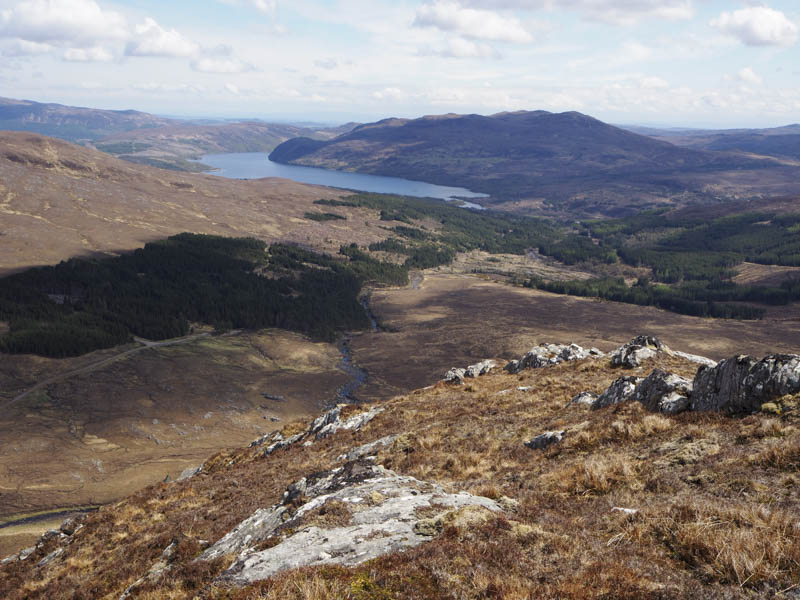
Once across the main road I walked north-west along this tarred private road as it rose north-west through the trees and passed a new communications tower. After over a mile I came to the point I intended leaving this road and made a short descent to the road bridge over the River Grudie.
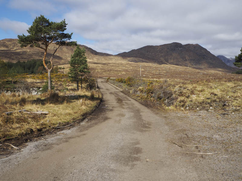
Beyond it there was a gate in the deer fence with notices regarding forest operations.
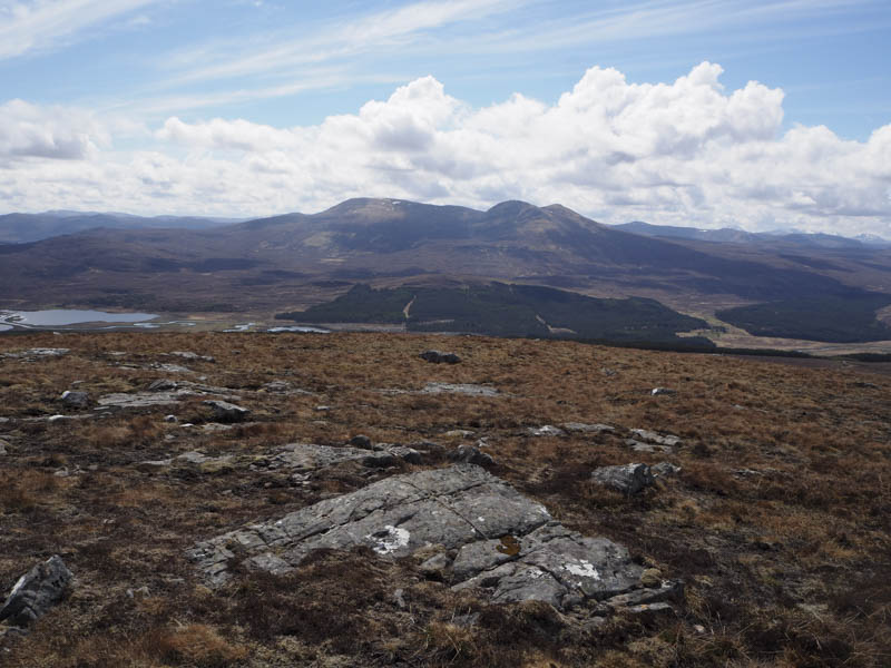
I therefore walked up the west side of the deer fence across wet boggy ground and bog myrtle. At the top end of the forest I headed north-west, through similar terrain with the bog myrtle being replaced by heather, aiming for the col between Meallan Buidhe and Carn na Beiste. Prior to reaching this point I commenced the fairly steep ascent of the former avoiding the rocks and crags. I visited a few outcrops as it wasn’t possible to state which was this Tump’s highest point.
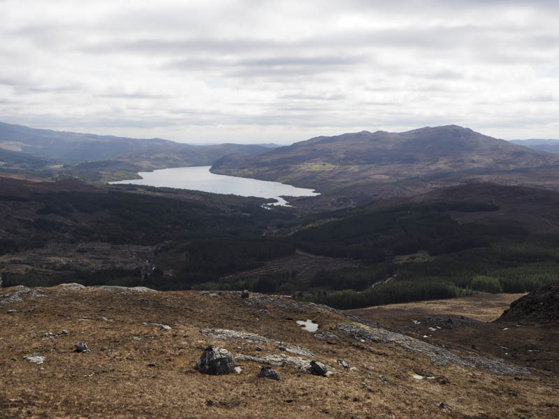
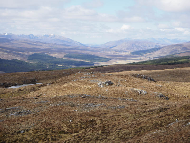
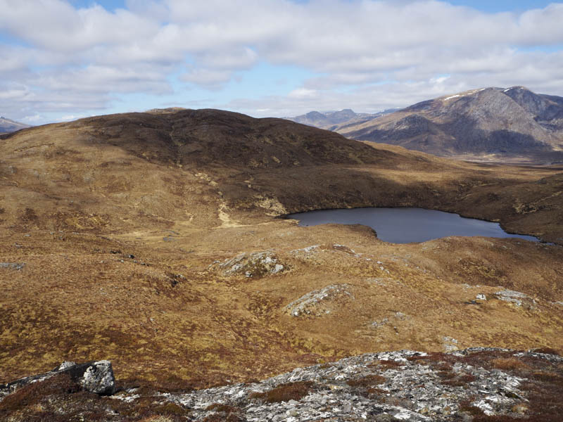
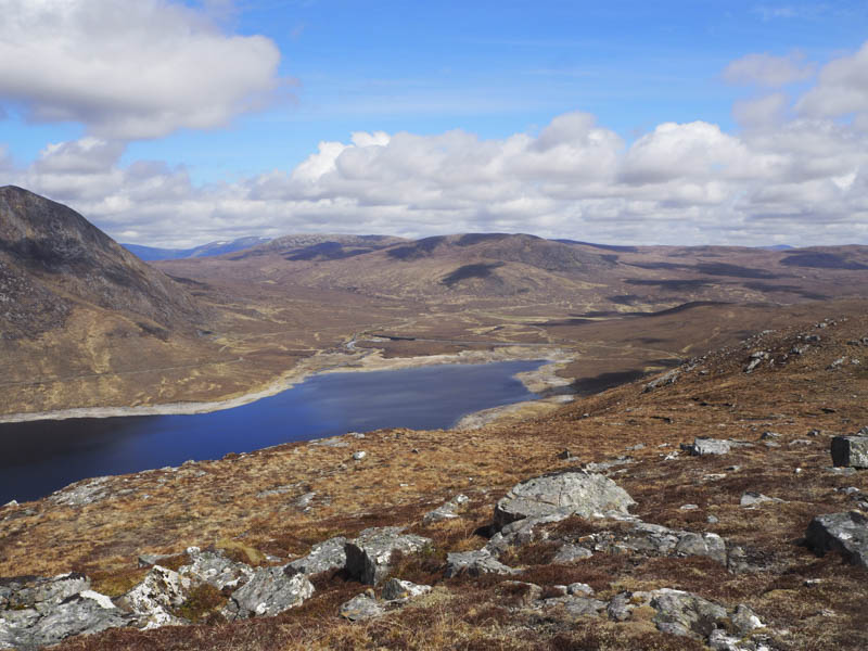
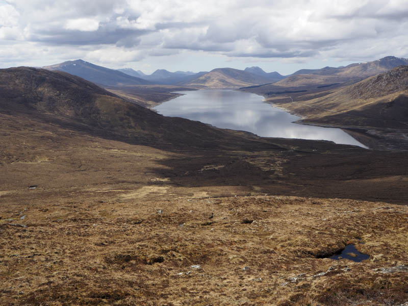
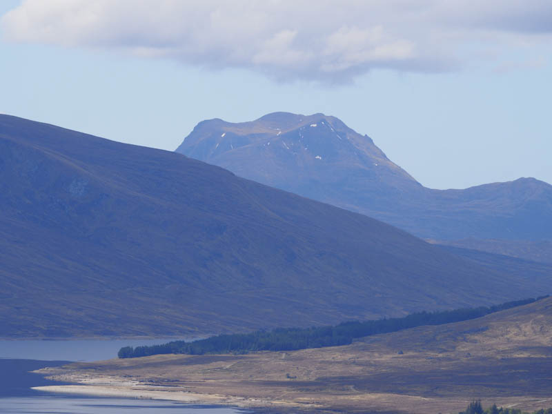
It was a pleasant sunny day so I took a break here with great views as I could see for miles and miles. The plan was to head for and climb Carn na Beiste before returning to the start. However on my ascent of the nearby An Caber from the west some 10 years ago I hadn’t recorded if I had visited its West Top, a Tump, so in these fine conditions I decided to head there next. I therefore descended south then west working my way through rough vegetation below An Caber’s East Ridge and its summit. I then climbed An Caber West Top and on reaching its cairn was in little doubt that I had been to its summit back in 2011.
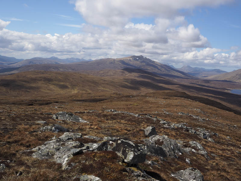
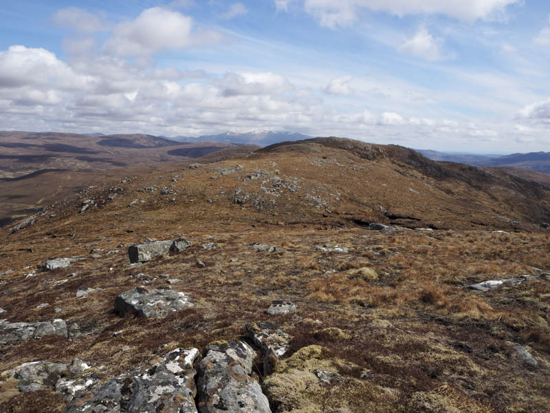
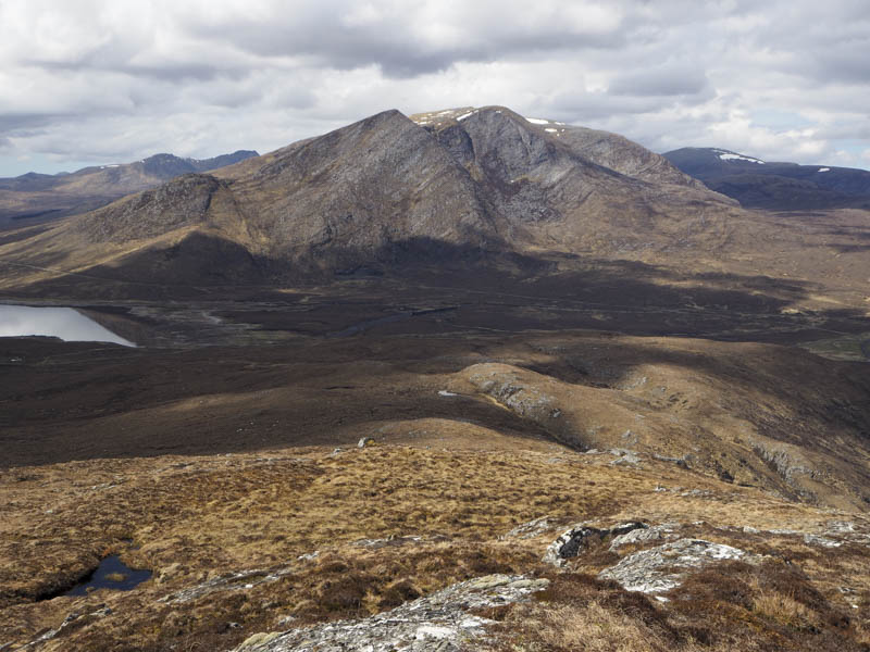
From there I descended east and climbed to the summit of the Marilyn, An Caber, where rocks near the trig point were obviously higher.
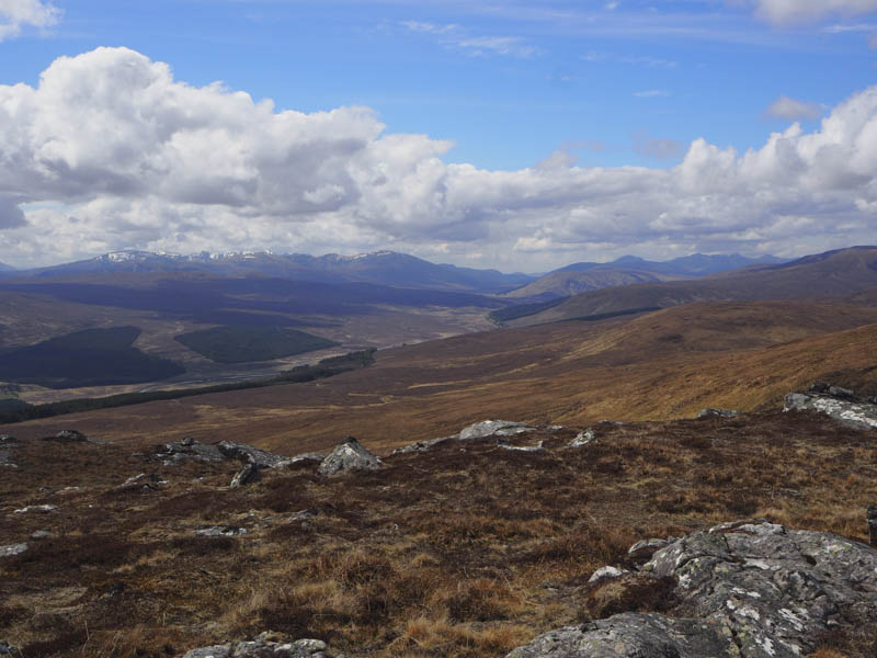
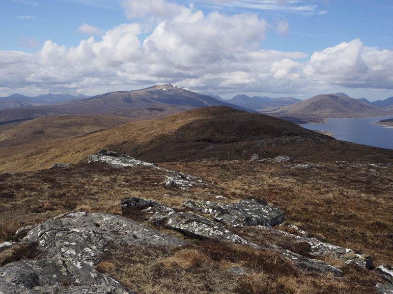
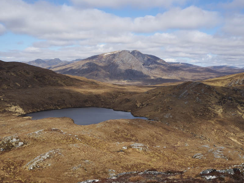
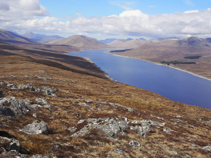
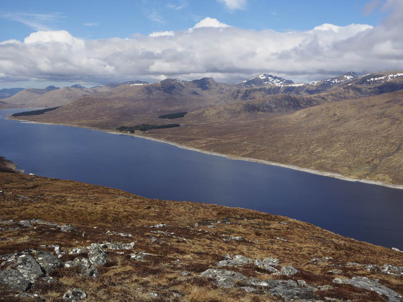
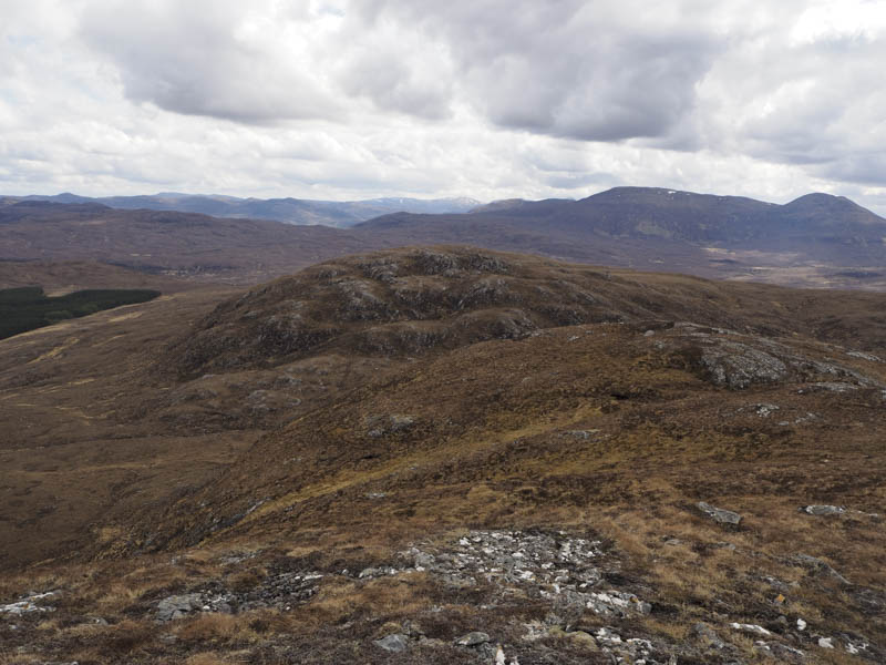
A short descent south-east took me to the fairly flat east ridge which was wet and boggy. After around 800 metres the descent steepened through long vegetation as I headed to the col north of Loch na Beiste where the ground here was also wet and boggy. It was then a steep climb passed a concrete pillar located on the South Top to the small pointed rock that marked the summit of the Hump, Carn na Beiste.
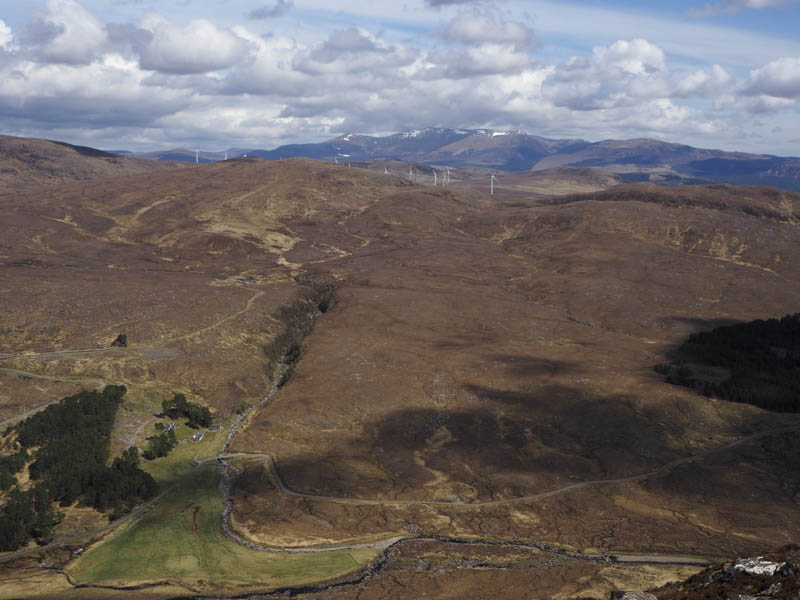
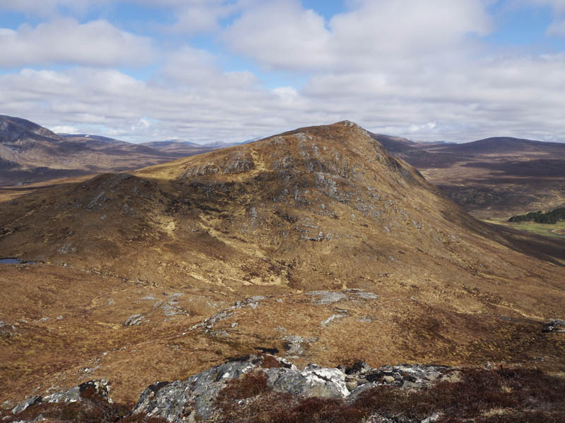
After another break sitting in the sun I descended steeply south then south-east before the gradient eased and I aimed for the north-west corner of the forest.
Rather than follow the deer fence through the wet and boggy ground and with no work in progress in the forest I crossed the deer fence and located a tarred road that took me to the gate in the deer fence and to the bridge over the River Grudie. I then returned down the Fannich Lodge road to the start.
- Time taken – 6.75 hours.
- Distance 16.25 kilometres.
- Height climbed – 750 metres.