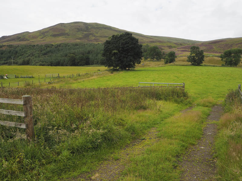
Meall Odhar – This Graham Top was located on the west side of the A93 Blairgowrie to Braemar Road, south of the Spittal of Glenshee. I parked on rough ground on the west side of the road north of Corrydon and immediately north of the bridge over the Allt a’ Choire Dhomhain.
Once booted up I walked through an open gate, crossed a grassy field to a closed gate and beyond it the open hillside.
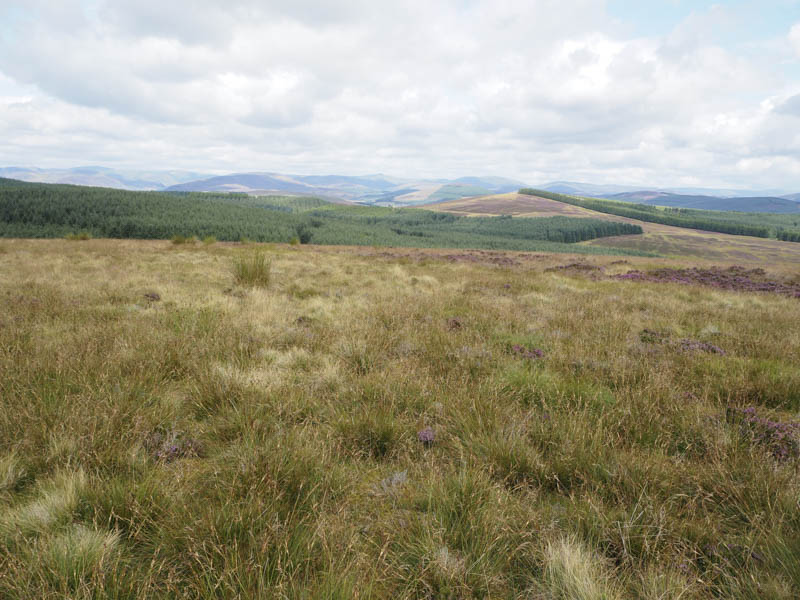
Here an ATV track ran up the north side of the Allt a’ Choire Dhomhain through the heather. After a bit of height gain the track seemed to disappear to be replaced by sheep trails.
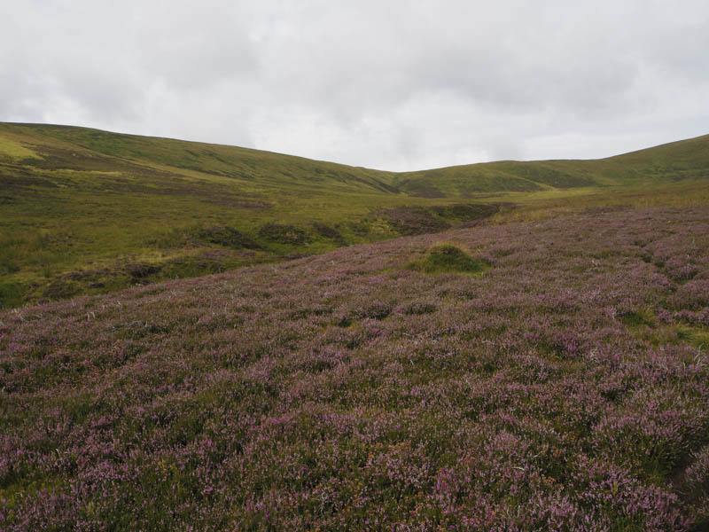
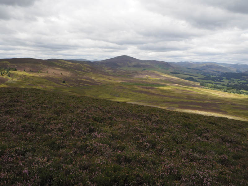
On approaching Coire Dhomhain I descended to and crossed the Allt a’ Choire Dhomhain then headed onto the east face of Meall Odhar through grass and rushes, the ground being a touch wet.
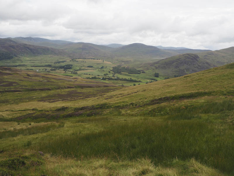
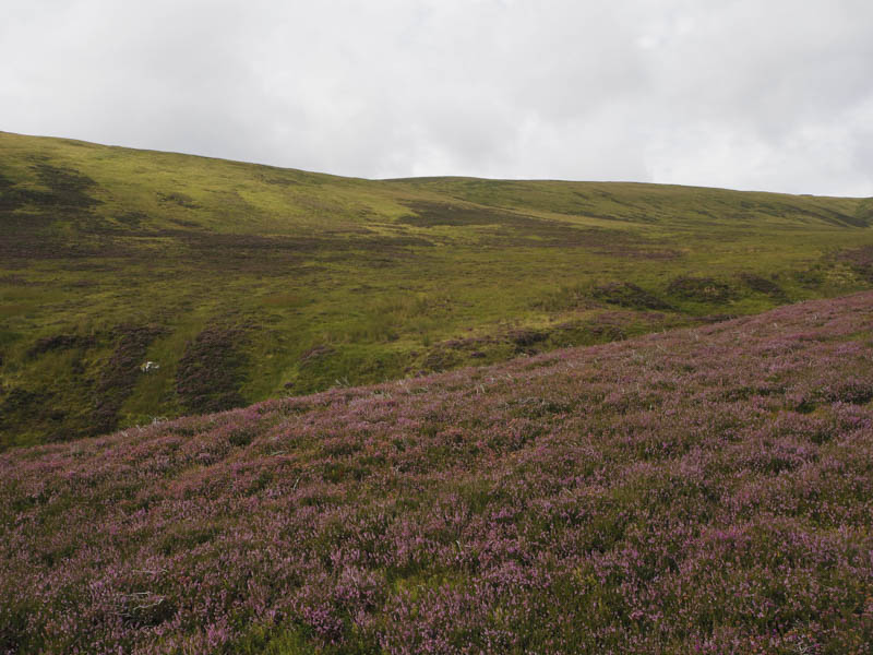
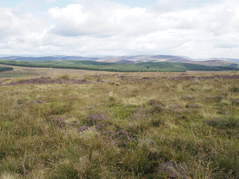
Higher up it was drier and consisted of rough vegetation and heather and as I approached the summit of this Graham Top a few peat hags. The highest point of Meall Odhar was a small cairn east of the fence. I took a break here while some low cloud blew through in the breeze.
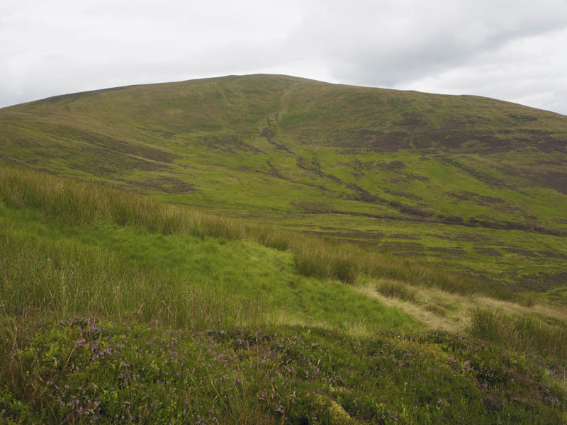
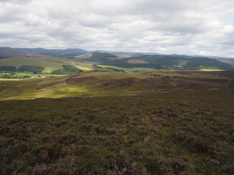
Afterwards I descended east onto Meall Dubh then a steeper descent to the edge of the forest north-west of Corrydon. Here a vehicle track ran between the side of the trees and the Allt a’ Choire Dhomhain to a gate. Beyond, a grassy field was crossed to reach the bridge over the Allt a’ Choire Dhomhain and my car.
Druim Dearg, Black Hill and Knockton – The start of this walk was immediately south of the cattle grid (NO208584) on the single track minor road south east of Brewlands Bridge on the B951 Glen Shee to Kirriemuir Road. I crossed this minor road onto a vehicle track that led to and round a small quarry before following the edge of a new fence. This led to a locked stock gate and beyond it a communications tower. The summit of the Tump, Druim Dearg, was beside the fence and cairn.
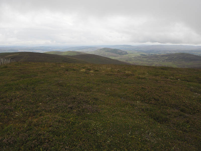
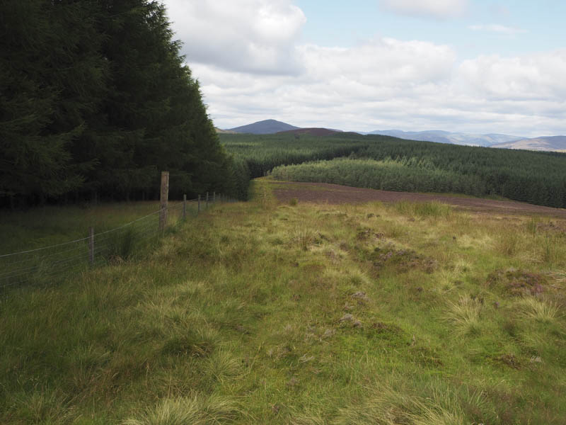
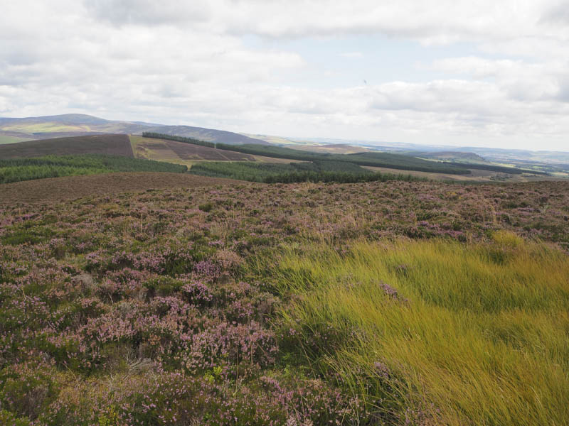
I returned to my car, collected my rucksack, and walked a few metres south to the start of the vehicle track leading to the Forest of Alyth. This track led to a locked stock gate and what appeared to be a fairly new pedestrian gate. Beyond, the vehicle track headed west before turning south coming to an end at NO204575. A fire break, consisting of short vegetation and traces of a path, ran south to an old stock fence which was then followed north through heather and rough vegetation disturbing some deer. An old tied down stock gate was reached and crossed then I followed a fairly new stock fence, enclosing the forest, south to the summit of the Tump, Black Hill. It was marked by a boulder and here I had lunch.
Thereafter I returned to the tied down stock gate then continued north along a fire break and over Hare Hill. Some of the branches of the tall firs had been cut back but this hadn’t been completed so nearer the north end the fire break was narrower with some boggy ground. On emerging from the trees it was a steep climb through heather at the edge of a rusty deer fence to reach the summit of the Tump, Knockton, marked by a boundary stone.
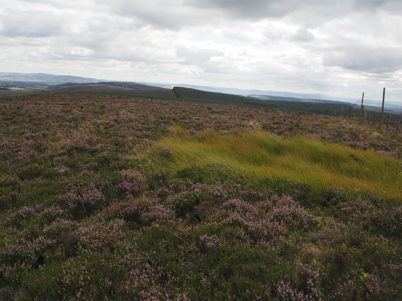
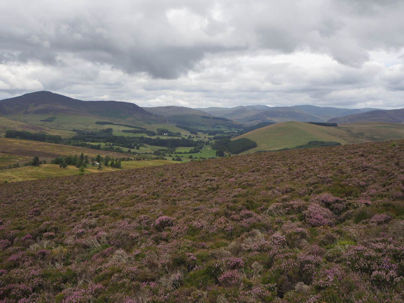
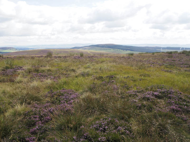
The descent east was along the edge of a fence, initially through heather, then lower down a width of cut heather followed by a path to reach the minor road immediately north of the cattle grid.
- Total time taken – 4.25 hours.
- Total distance – 11.75 kilometres.
- Total height climbed – 580 metres.