The starting point for this walk was the end of the public road at Alltnacriche, accessed along the narrow single track road from the A9 at Lynwilg, just south of Aviemore. There was space for a few cars immediately before the property at Alltnacriche. To the north-east of these grounds there was an estate track with access restricted by gates.
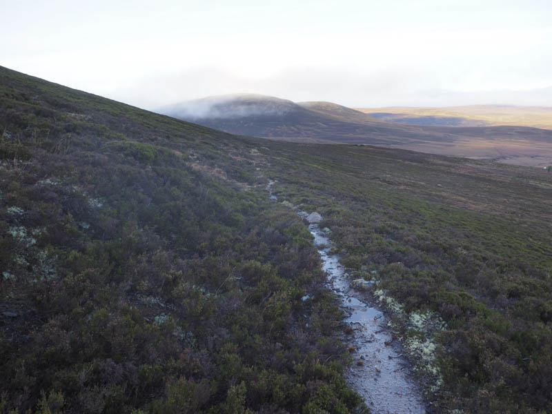
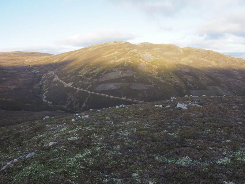
Once through the pedestrian gate the track rose fairly steeply along the edge of a deer fence to another gate. The estate track, part of the Burma Road, was in good nick and rose steadily above the Allt Dubh, through An Gleannan, and into the low cloud and drizzle. There was no relenting in the gradient until I reached the cairn marking the tracks highpoint and where a path headed off south-west to the Corbett, Geal-charn Mor.
The cloud was lifting and the drizzle had ceased as I descended north-west searching for the path that ran below Geal-charn Mor. I never found its starting point but on crossing the heather I came to the path which was overgrown with heather and obviously little used although I was able to work out its line. A stock fence was crossed at a collapsed section then the path continued towards a new plantation which was fenced off.
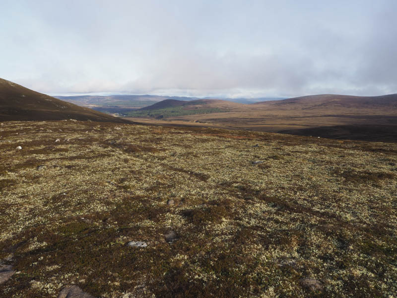
The path, maybe it was now just an animal trail, swung round to the west, crossed the Allt nam Moireach and the lower reaches of Carn nan Suilean Dubha. I left the path and continued west through a mixture of heather and boggy ground crossing a tributary of the Allt nam Moireach.
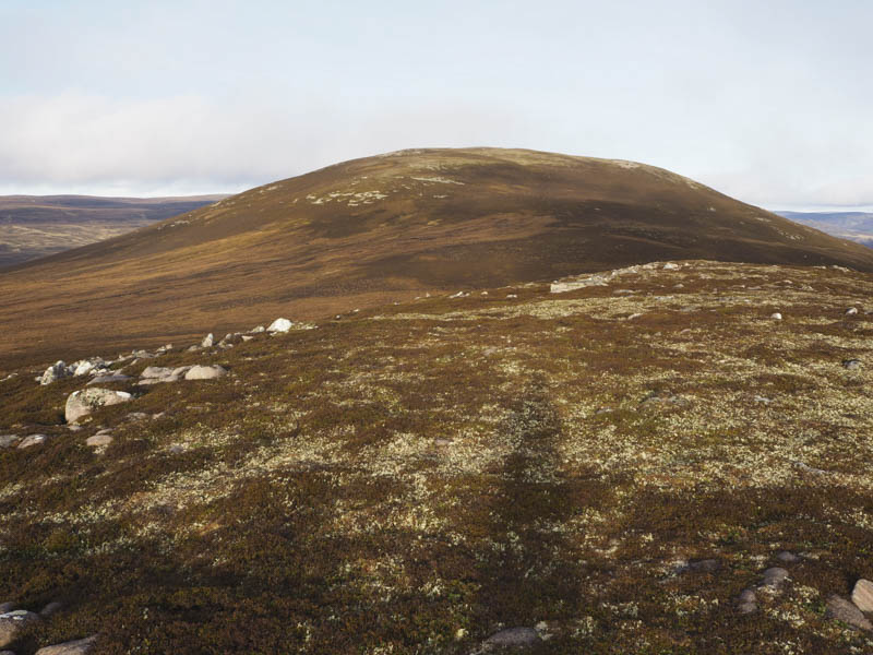
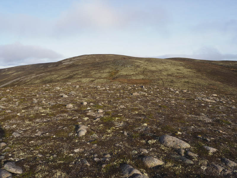
The ascent of Cnoc Fraing then commenced. It was fairly steep and hard work through the long heather. Higher up the vegetation was shorter and the gradient eased as I headed for the large cairn which appeared to mark the summit of this Graham Top and Hump. I took a mid morning break here initially with some views but the summit was soon engulfed in low cloud. There was also a chilly breeze.
Afterwards I descended south, initially on short vegetation, then through more long heather and boggy ground before climbing to the summit of the Graham Top, Cnoc Fraing South Top. The highest point was either a rock amongst some moss or further south a boulder near an old metal fence post.
The old metal fence posts were followed south to the col with Carn nan Suilean Dubha although a diversion to the west was required to avoid the waterlogged col. I then climbed south-east onto the summit of this Graham Top crossing an ATV track. The highest point of Carn nan Suilean Dubha appeared to be a rock containing an embedded old metal fence post.
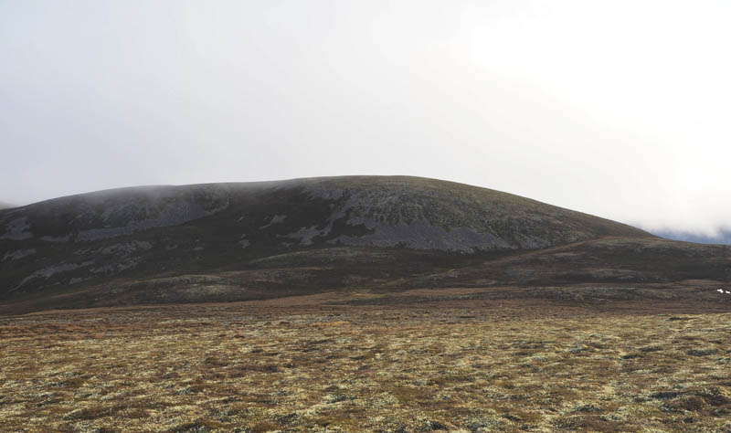
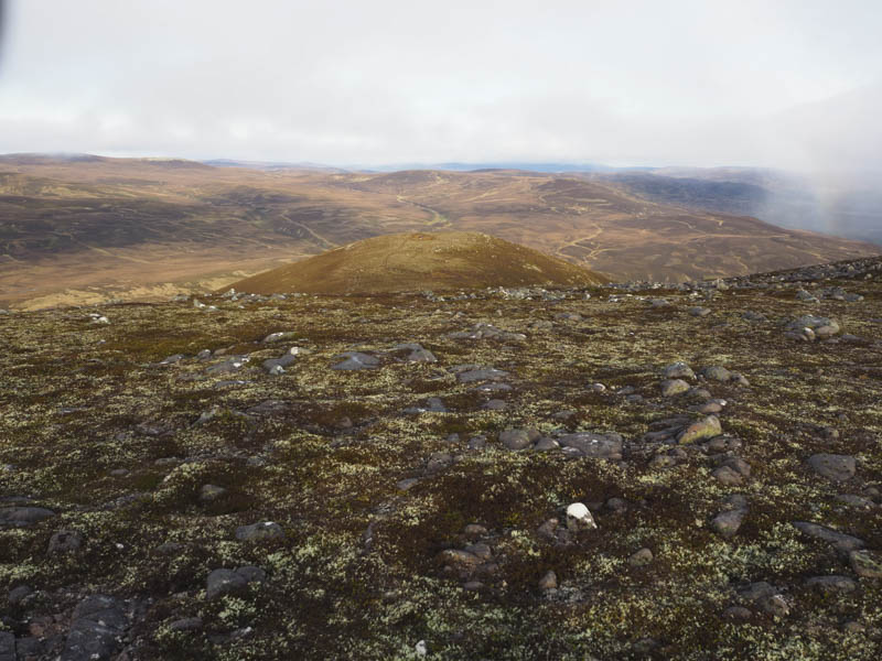
The route continued south-east descending to the west side of Geal-charn Beag as the north face was steep and stony. From the west it was a fairly steep climb on a path to the summit of this Sub Simm which was supposed to be marked by a small cairn but it had obviously been demolished.
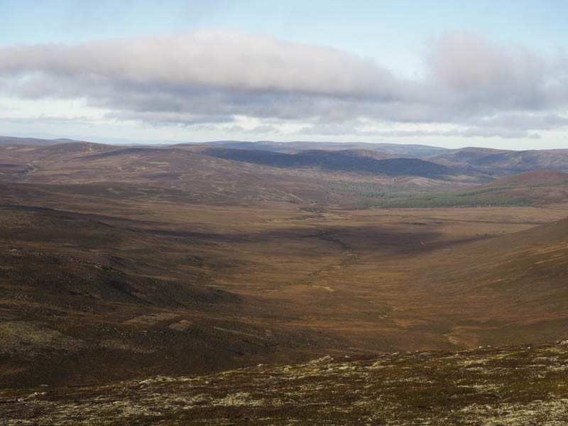
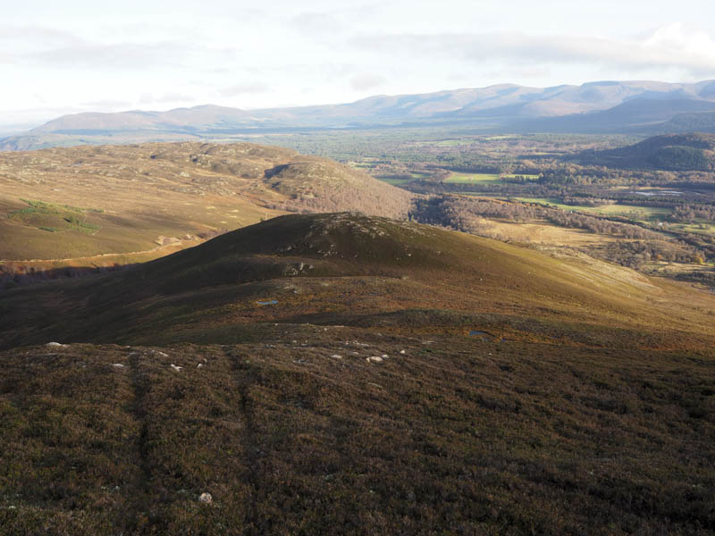
I descended to the col with the Corbett, Geal-charn Mor, its ascent wasn’t included in my plan, so I worked my way round its south ridge gaining some height and onto its east face. Here there was some long heather and bog to contend with as well as a stock fence to cross. The boggy col with Creag Ghleannain was reached then it was an easy climb to the summit of this Tump, marked by a cairn although a couple of outcrops may have been as high.
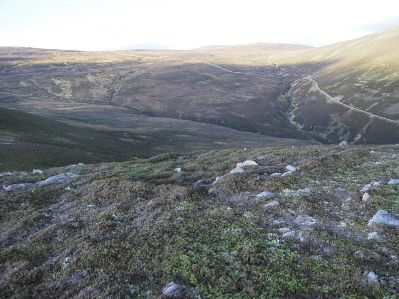
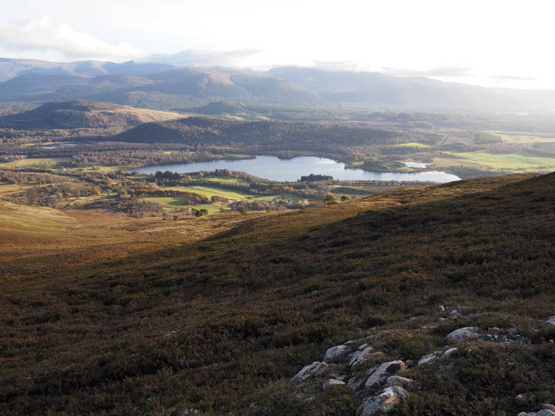
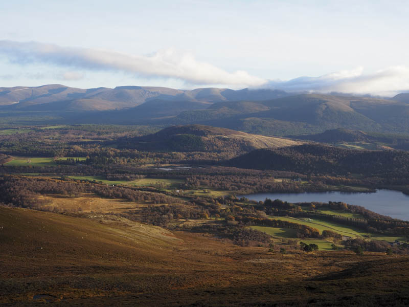
After a late lunch I initially descended its east ridge before continuing the descent north through heather to cross the gully containing the Allt Dubh. It was easily crossed but the embankment on its north side was steep with a short awkward climb to reach the Burma Road which was followed back to the start.
- Time taken – 7 hours.
- Distance – 20.25 kilometres.
- Height climbed – 1030 metres.