The forecast was for some fine weather so I decided to head for the far north-west to ascend one of my unclimbed Sub 2K Marilyns. The drive involved sunny spells and areas of mist especially on the single track A838 Lairg to Laxford Bridge Road along the shore of Loch Shin.
On reaching the hamlet of Achfary I parked beside an old telephone box, now holding a defibrillator, then walked back along the A838 for around 500 metres to a forest track at NC29493917.
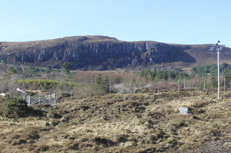
Once beyond the gate it was a steady climb on a wide track through the trees where the mature ones had been harvested and new trees planted. At a junction of tracks, (NC28963890) I went left, south-west, on a slightly narrower track to another set of gates. (NC28773849)
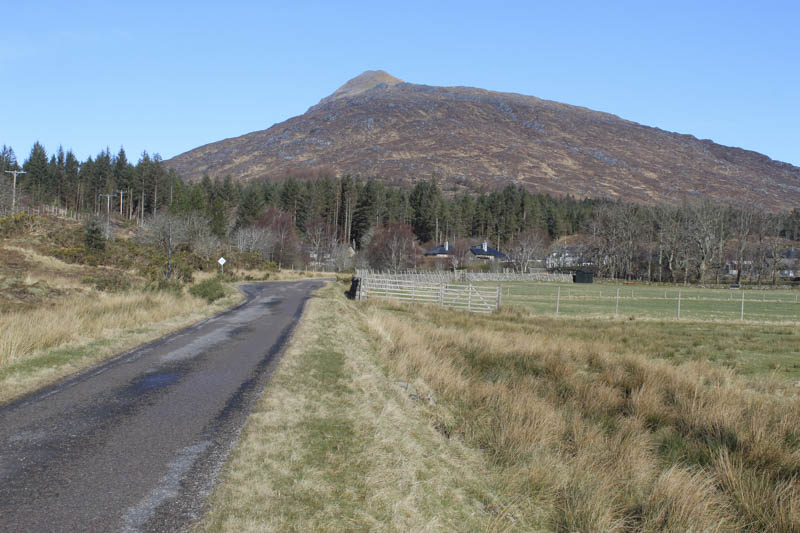
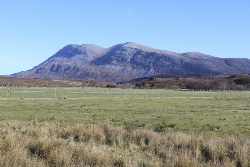
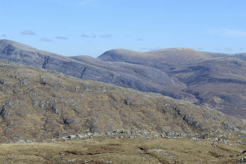
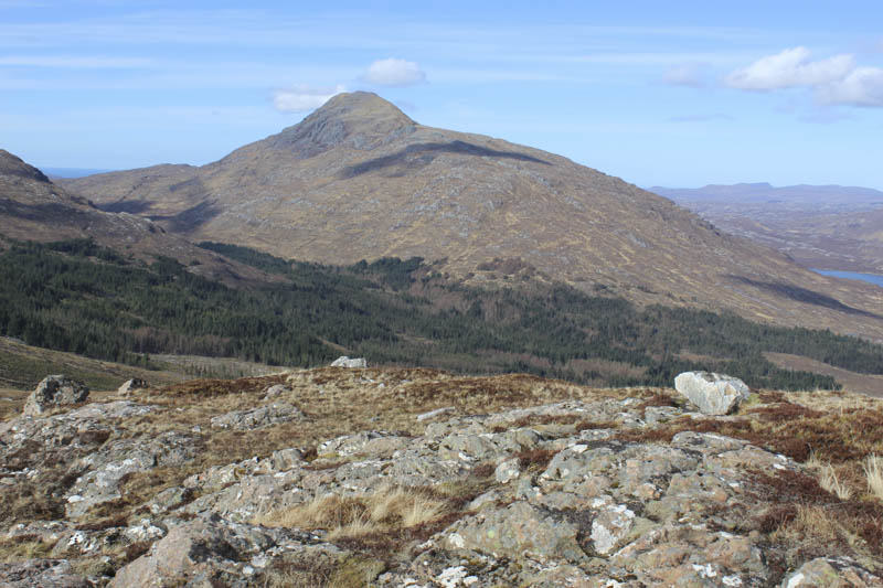
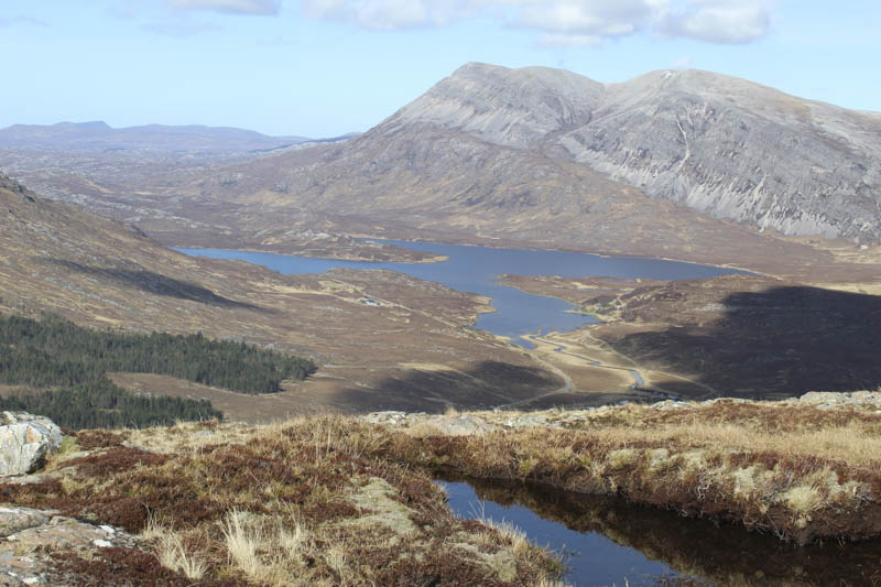
On passing through these gates I joined the track which rose from the shore of Loch More at Lochmore Lodge, and walked west along this track on an easy gradient. Prior to the track steepening I stopped for a coffee break sitting in the sun with views of Ben Stack, Arkle and others. After this break the steeper section of the track was encountered and this led to the Shieling at the Bealach nam Fiann.
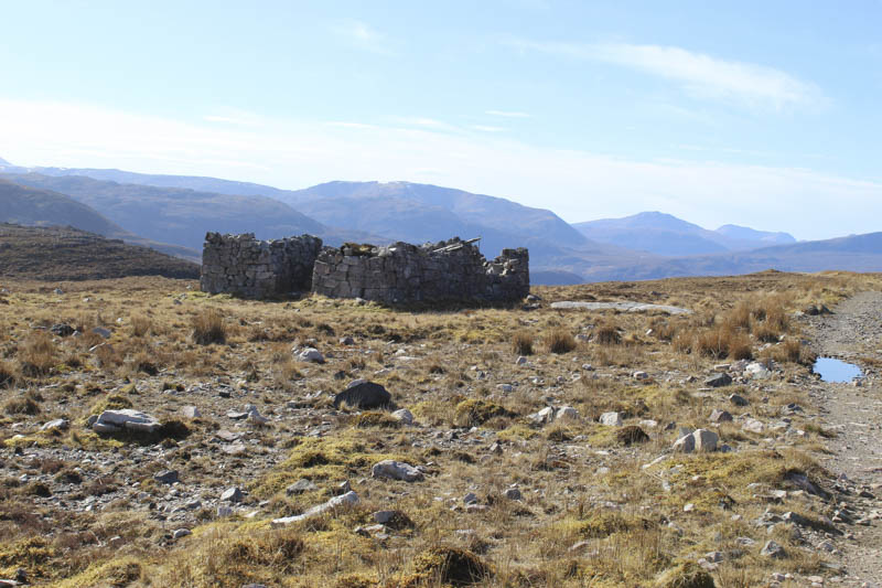
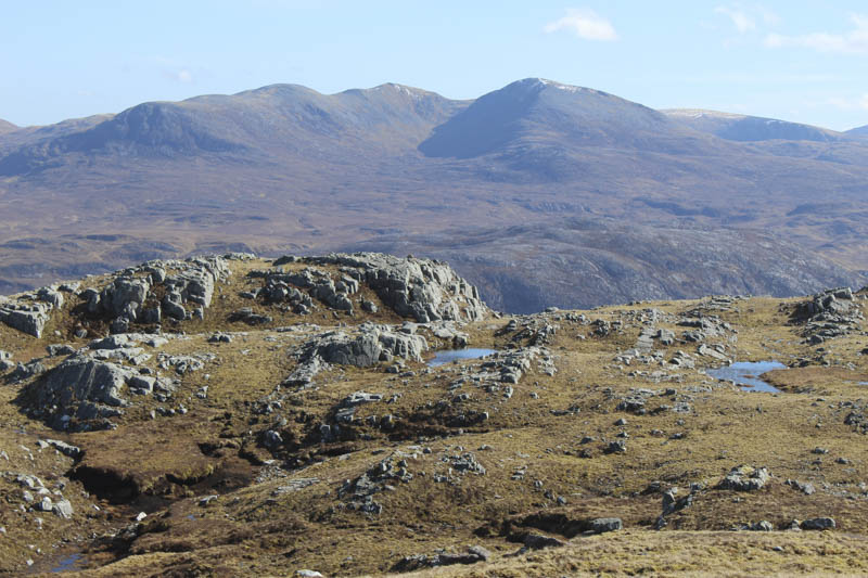
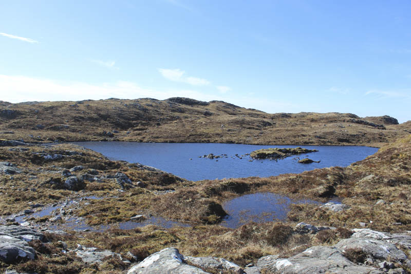
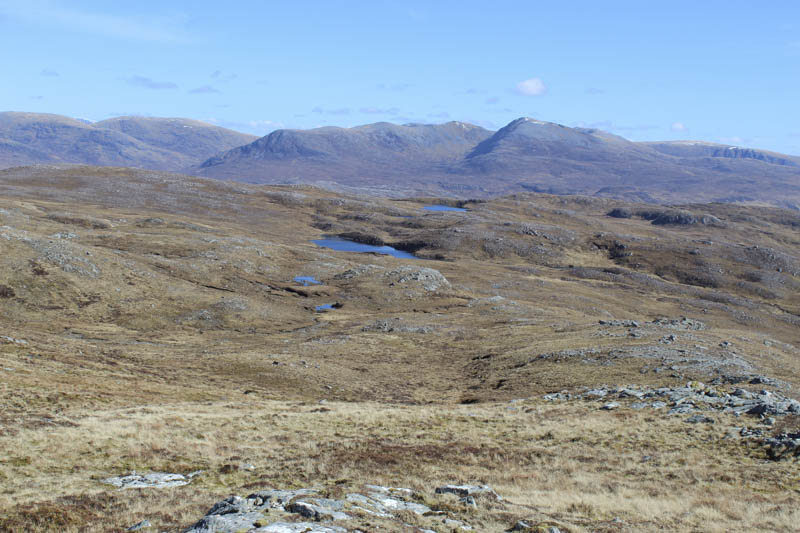
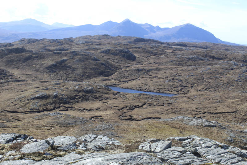
Immediately prior to this old house I left the main track and walked west on a less obvious path initially heading west but soon turning north-west on an easy gradient. The path, a mixture of grass stone and a few areas of peat, took me onto the 478 knoll before descending to the causeway between two unnamed lochans.
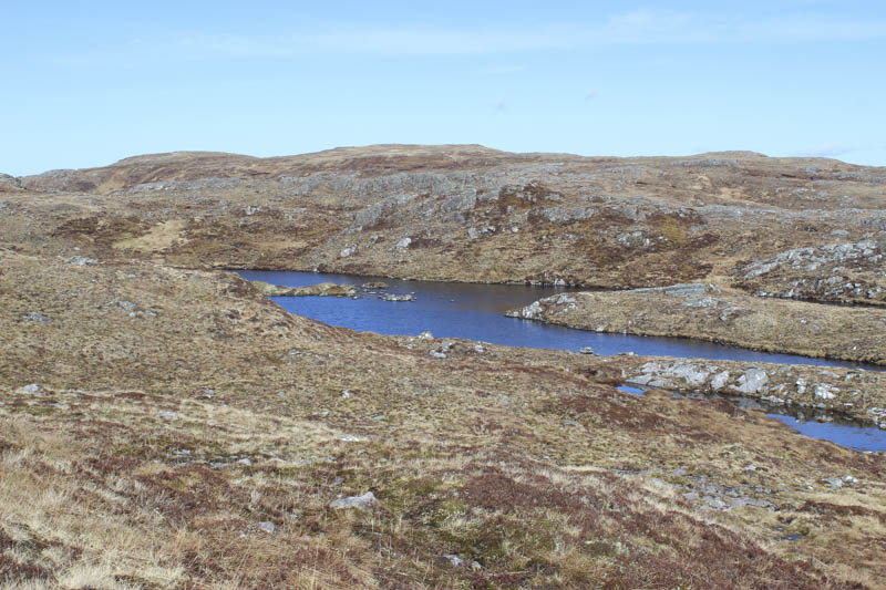
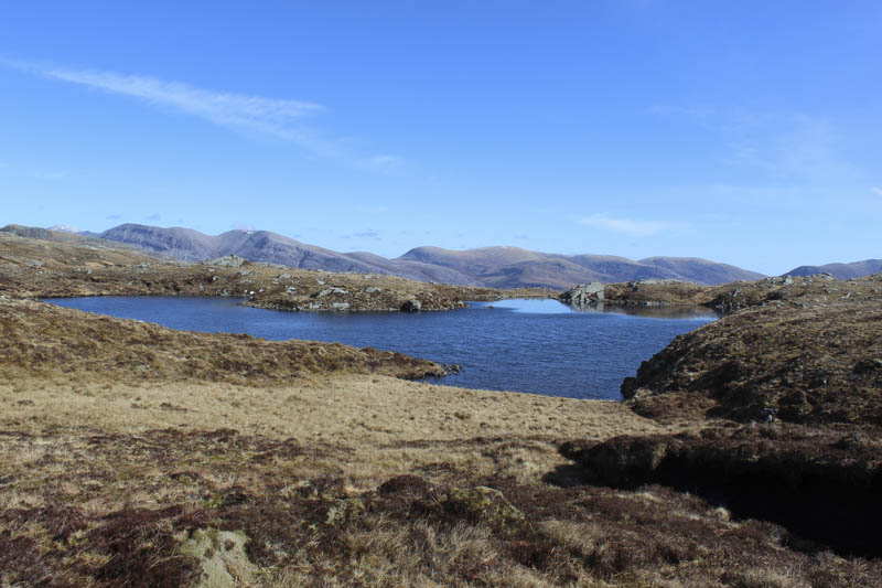
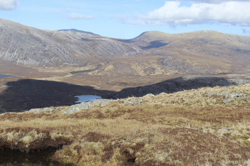
There was then a short climb followed by another loss of height before the final ascent to the summit of the Sub 2K Marilyn, Ben Dreavie, which was a mass of conglomerate. There was a cairn to the east but the highest point was a boulder to the west.
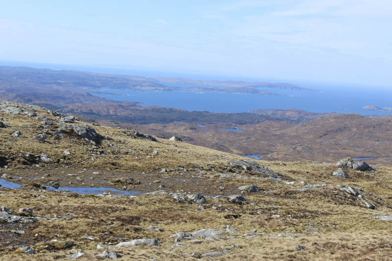
After taking in the grand views I returned to south of the 478 knoll.
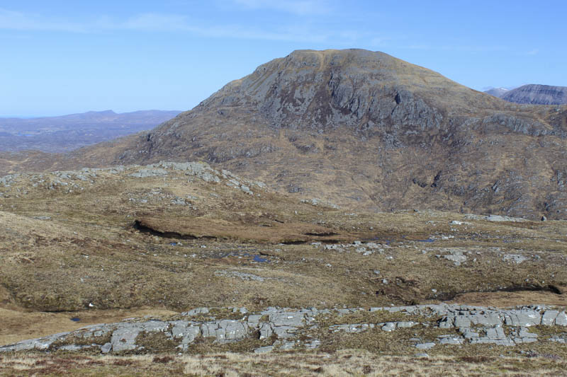
Here I left the track and walked south then south-west across rough ground with lots of boulders, avoiding the numerous small pools of water, to reach the foot of Cnoc Poll an Achaidh Bhuidhe. It was then a steady climb on grassy slopes to reach the summit of this Tump, marked by a rock on an outcrop.
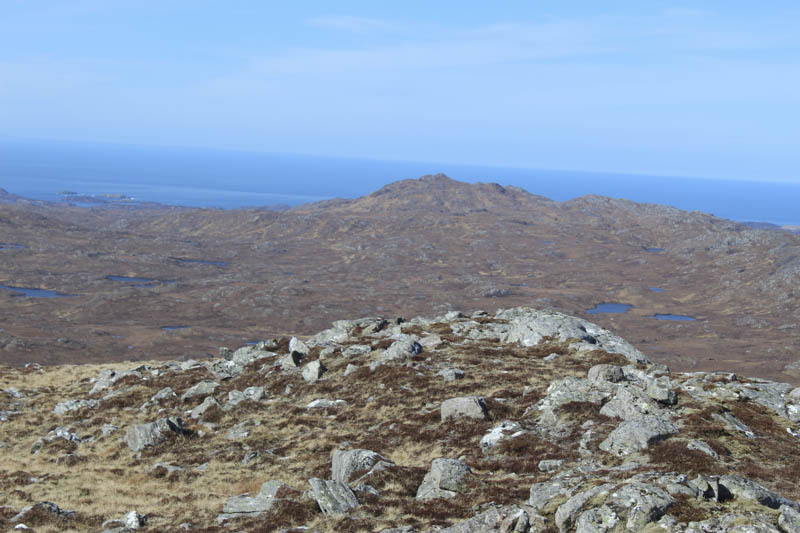
I then descended SSE to the east of the craggy north face of Cnoc Bealach a’ Phollaid. I then ascended this Tump, the highest point appeared to be an outcrop although there were a couple to choose from.
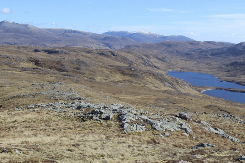
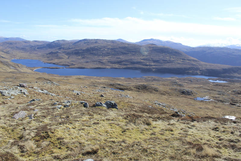
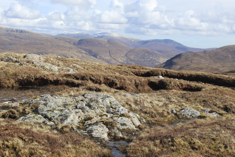
After lunch looking across Loch na Creige Duibhe and Loch an Leathiad Bhuain I headed north-east across rough ground, easy enough, to return to the Bealach nam Fiann. An alternative would have been to descend east to join the path to the bealach but this would have involved the loss of more height.
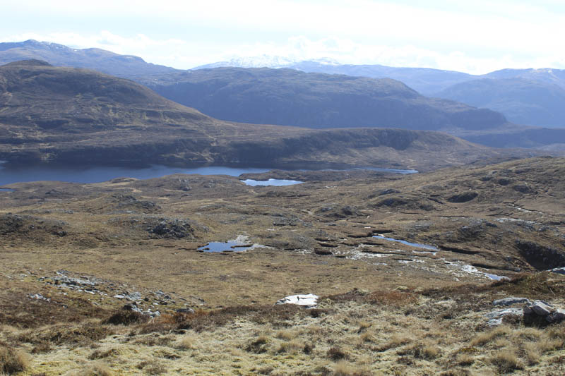
I crossed the bealach path and climbed east over stony ground to a knoll before descending east-south-east across rough grassy ground then lower down into an area of peat hags.
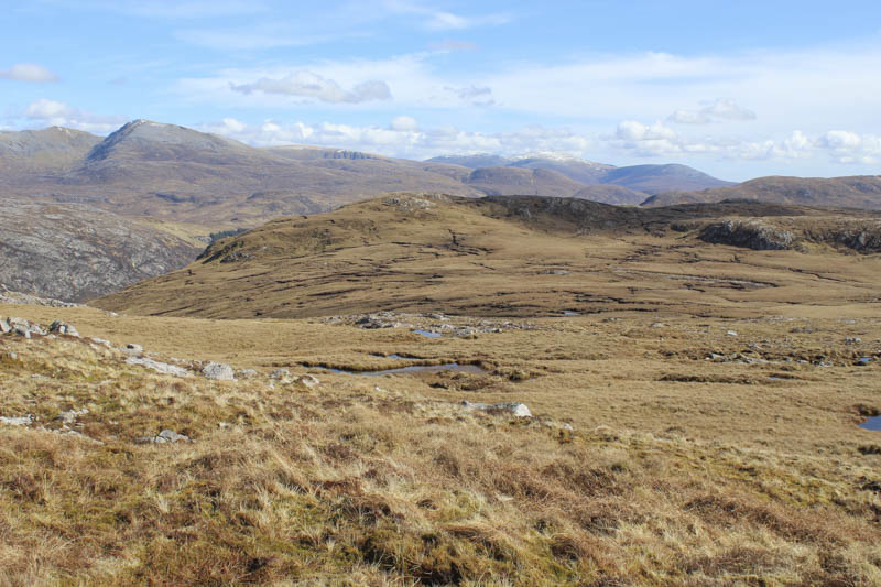
This entailed a fair bit of wandering around to find a route through them so I ended up to the south of the summit of Glas Shron. A few more peat hags were encountered as I made the final ascent of this Tump, the highest point appeared to be some grass next to an outcrop.
The descent north-west took me to a break in the cliff face then it was a steep awkward descent through rocks, wild vegetation, and some trees, there were a few deer tracks, to reach the vehicle track at the top gates in the forest.
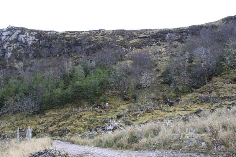
I then retraced my route through the trees and back to Achfary.
- Time taken – 5 hours 50 minutes.
- Distance – 15.75 kilometres.
- Height climbed – 680 metres.