The plan was to climb the hills to the north of Nonach Lodge, east of Sallachy, which was accessed along the minor road from the A87 Bun Loyne to Kyle of Lochalsh Road, immediately west of Dornie. I tried to park at the start of the tarred road leading to Nonach Lodge but the adjoining ground was soft or overgrown, so I continued east to the car park just east of the road to Camas-luinie. (used to access the hills around Glen Elchaig)
I walked 600 metres or so back to the access road for Nonach Lodge then north-east along this road to a cattle grid. Here I left the road and walked north-west up the edge of a mature conifer forest where a new deer fence had been constructed although not yet complete. It was rough underfoot and this continued as I left the tree line aiming for a deer fence spotted higher up.
Underfoot conditions didn’t improve as I followed the deer fence north then north-west until on reaching a gully, I was forced to cross it, there being no crossing points beforehand. On the other side of the deer fence I was zapped by a single strand electric wire. Here the vegetation was shorter and for a while made for easier walking until I was amongst the heather.
I was expecting to re-cross the deer fence but high up on the hillside I came across a gate where the electric wire strand was diverted above it.
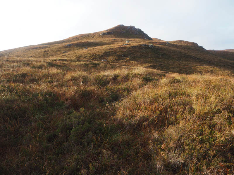
Once through this gate the heathery ground was a bit soft as I headed onto the Tump, Creag Dharach. There were two knolls, I thought the westerly one was the highest.
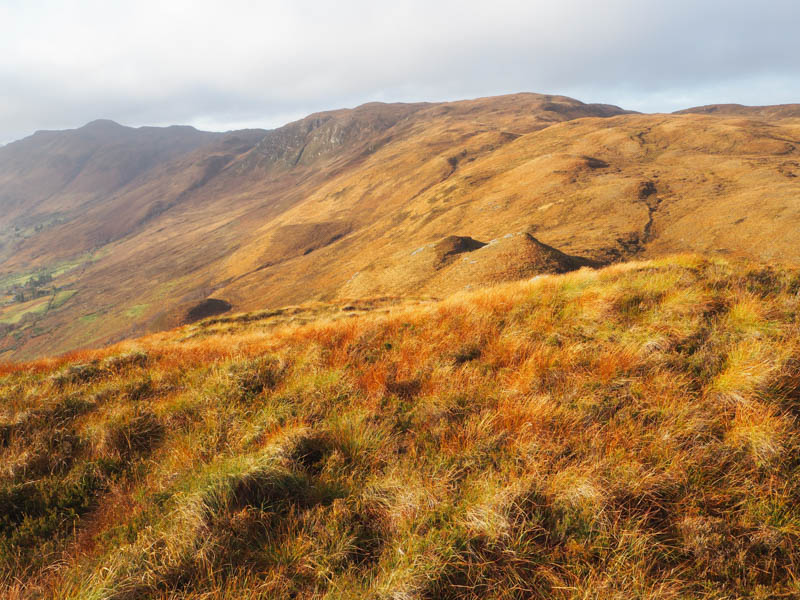
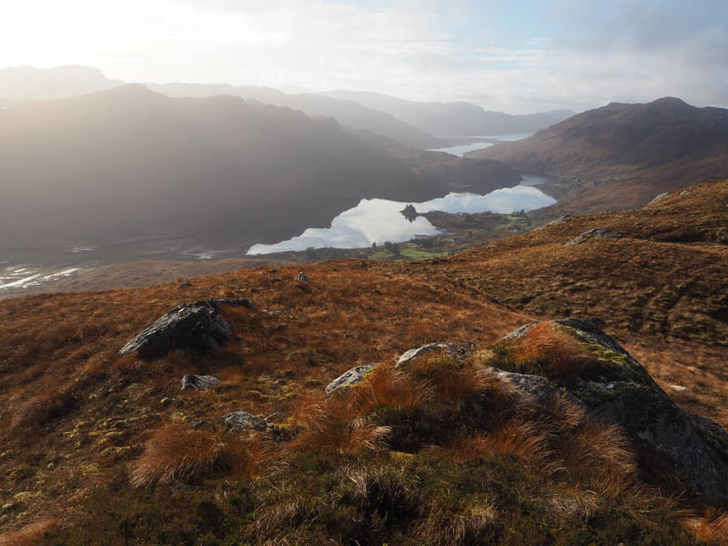
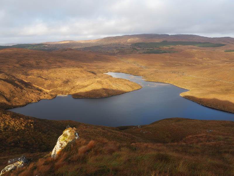
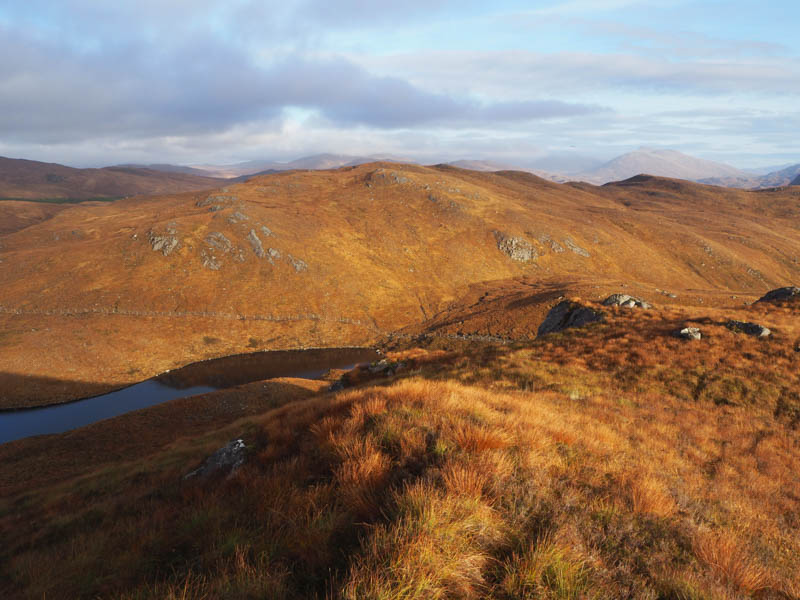
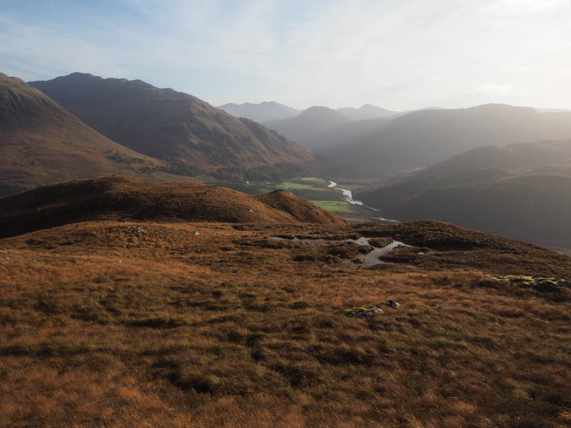
I returned to the gate in the deer fence and once beyond it an easy ascent north-east took me onto the summit of the Tump, Carn na h-Onaich, marked by a mossy outcrop.
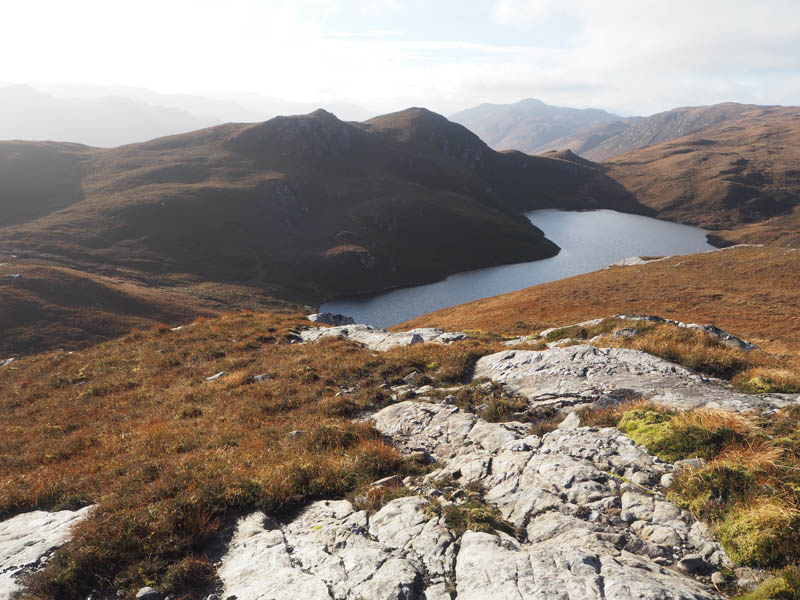
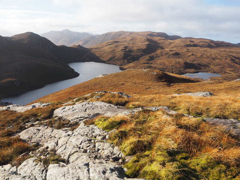
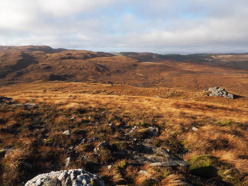
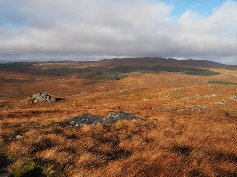
The descent north-west took me to above a band of crags with a short diversion south-west to find a route through them before continuing the descent to the Allt na Feithe Buidhe, a slow moving and probably deep stream. It was too wide for me to leap; however, I found a clump of grass which fortunately held my weight and allowed me to cross with dry feet. From there an easy walk took me onto the mossy knoll marking the summit of the Tump, Creag Capach.
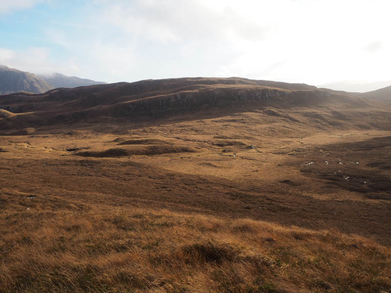
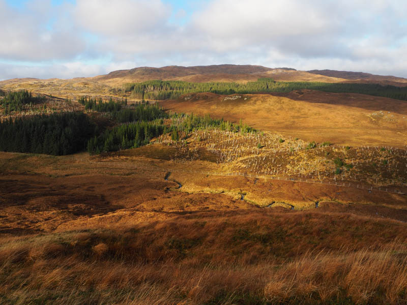
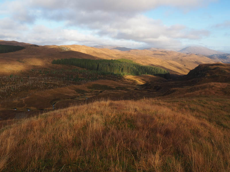
It was a long descent east initially on short vegetation, crossing a couple of knolls, before the vegetation became longer and thicker.
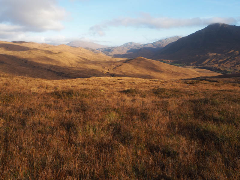
I came across the Glen Ling to Attadale path at the point it crossed the Allt Loch Innis nan Seangan then continued through a gate in a deer fence. Once through this pedestrian gate I left the path into dead bracken then crossed the Allt nam Bacanan and commenced the ascent of my final Tump of the day, Carn Poul-an-tarie. Unfortunately, the area had been planted with young trees with lots of hollows to retain water. Eventually I reached its grassy summit.
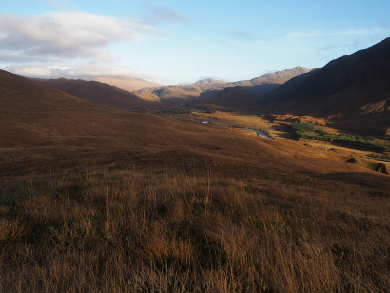
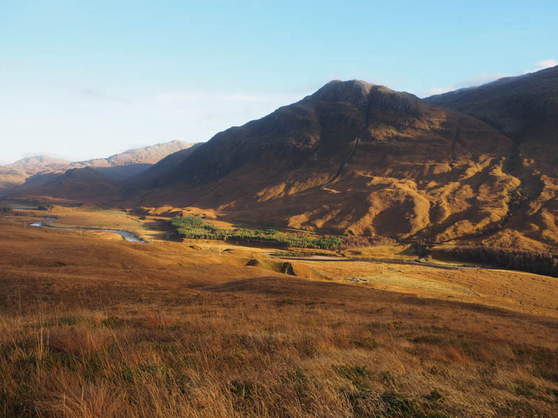
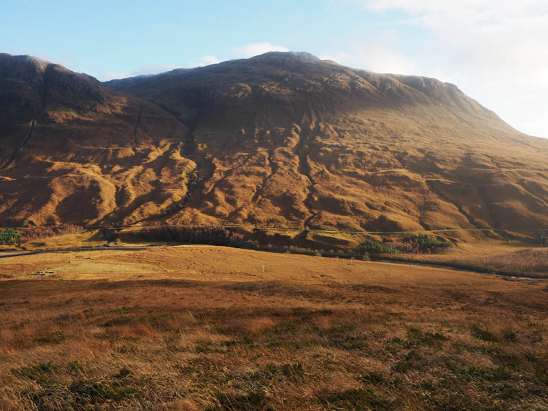
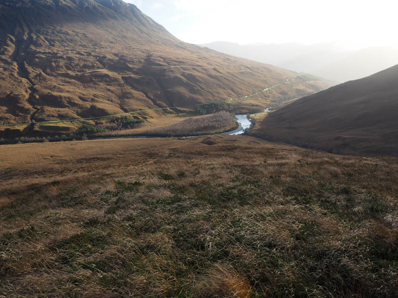
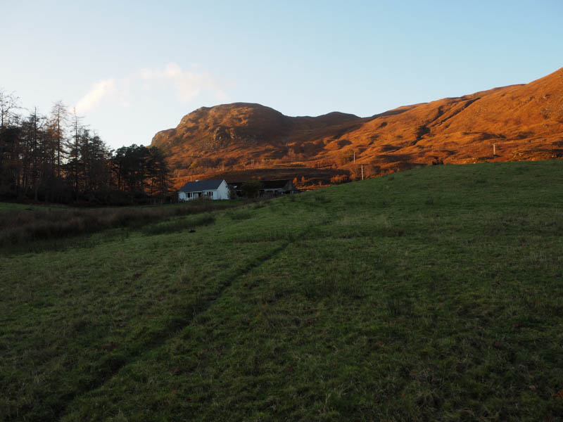
The descent south, through more young trees and hollows, took me into Glen Ling and to a gate in the deer fence and a bridge over the Allt Loch Innis nan Seangan. This led to the path on the west side of the River Ling (path to Attadale) which was in a variable state, sometimes grassy, other times rocky, boggy and wet. It gained a bit of height as it rose above the River Ling gully and eventually reached another gate in a deet fence. Beyond, it passed the front of a white cottage then onto a tarred road, by-passing Nonach Lodge, and to the point I left it earlier in the day, the cattle grid, before retracing my route back to the car park.
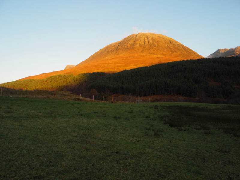
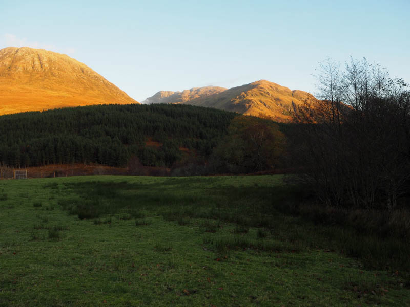
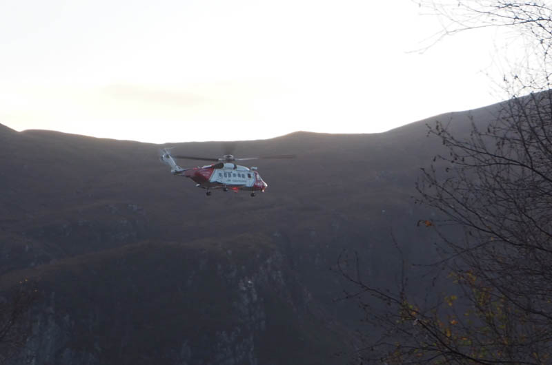
- Time taken – 6 hours 5 minutes.
- Distance -13 kilometres.
- Height climbed – 570 metres.