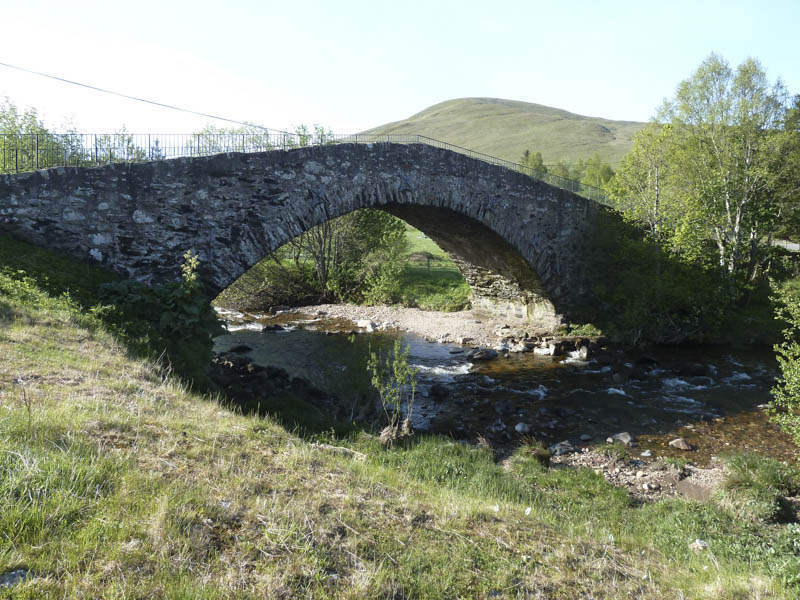
Meall Uaine, Creag an Dubh Shluic and Ben Earb – The forecast was for some reasonable weather so I headed for the Spittal of Glenshee, on the west side of the A93 Braemar and Blairgowrie Road. I planned leaving my car in the car park beside the hotel but the area was cordoned off after the hotel was destroyed by fire last year. Instead I parked on waste ground beside the church on the north side of the bridge over the Shee Water.
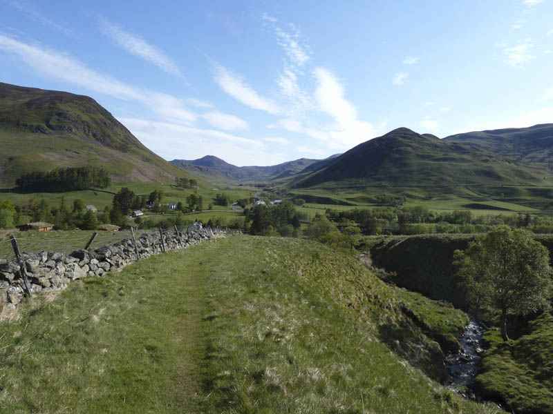
I walked back along the road to the start of the path that headed south-west from the Spittal of Glenshee to Enochdhu, this being part of the Cateran Trail route. The grassy path ran alongside an old stone dyke but I soon left it, crossed a burn, and commenced the ascent of the north ridge of Meall Uaine.
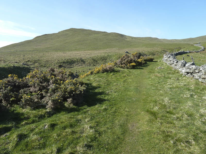
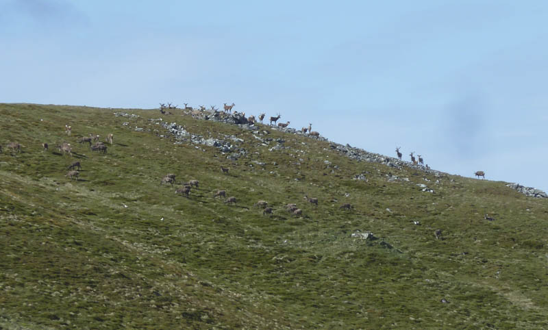
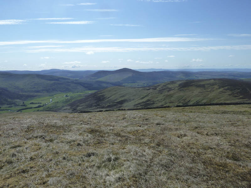
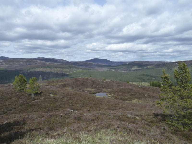
Later I located a little used all terrain vehicle track which wound its way up the hill with good views back across the Spittal of Glenshee and up Gleann Beag to The Cairnwell. Meall Uaine’s summit area consisted of a few stone dykes with the highest point of this Hump and Corbett Top marked by a small cairn. I took a break here watching a couple of deer wandering along the side of one of the dykes.
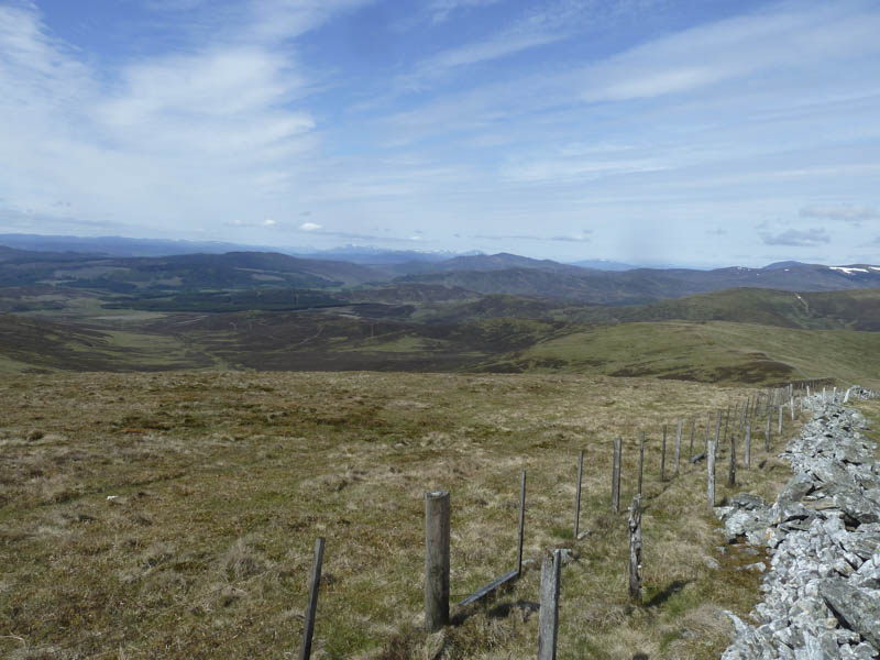
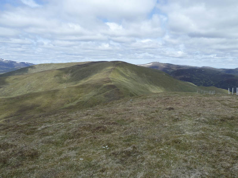
Afterwards I returned to the North Top then descended Meall Uaine’s West Ridge to An Lairig where I crossed the Cateran Trail. It was then a short climb to the cairn on the summit of Creag an Dubh Shluic but the highest point of this Graham Top was obviously on the other side of the old fence.
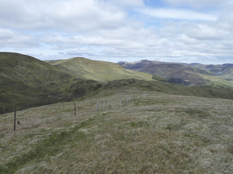
From there I descended to a knoll followed by a short steep drop west to the col with Ben Earb. A steep climb led to the trig point although the summit of this Corbett Top was some forty metres to the north.
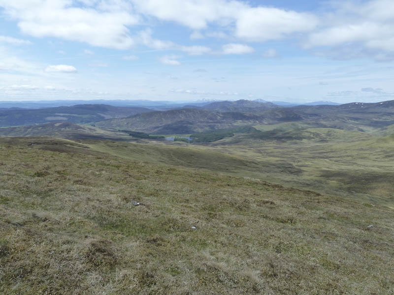
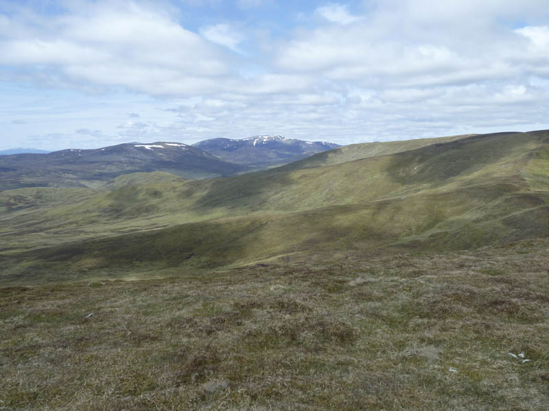
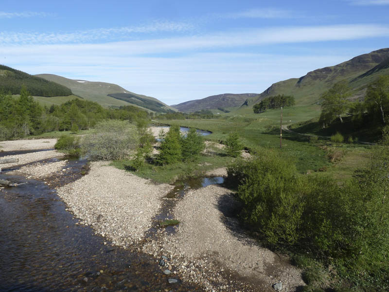
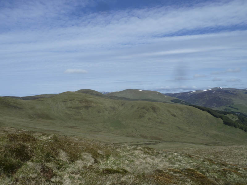
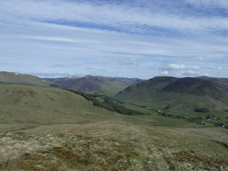
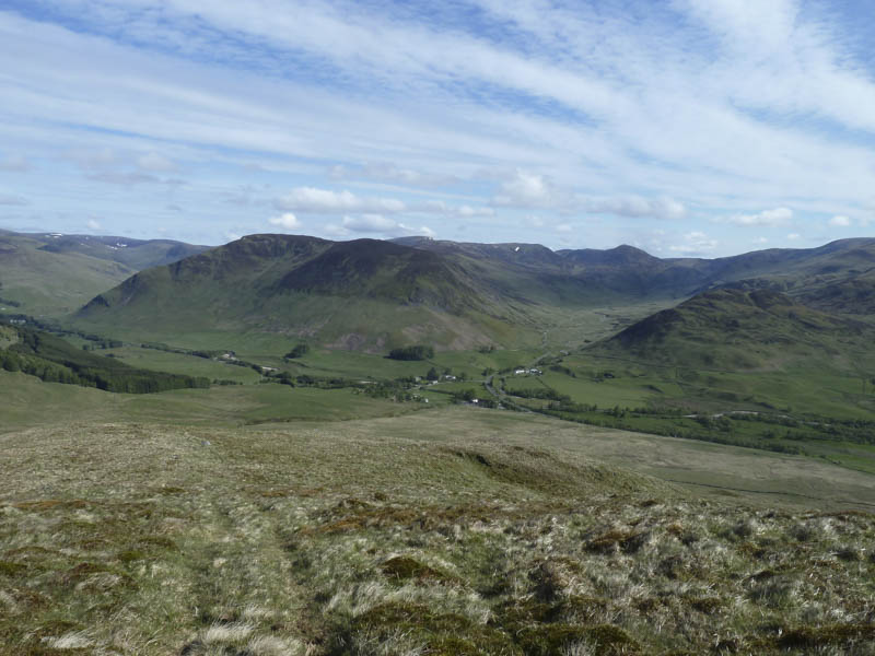
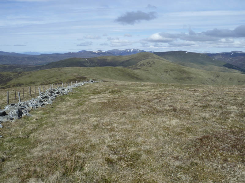
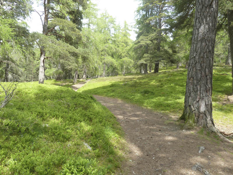
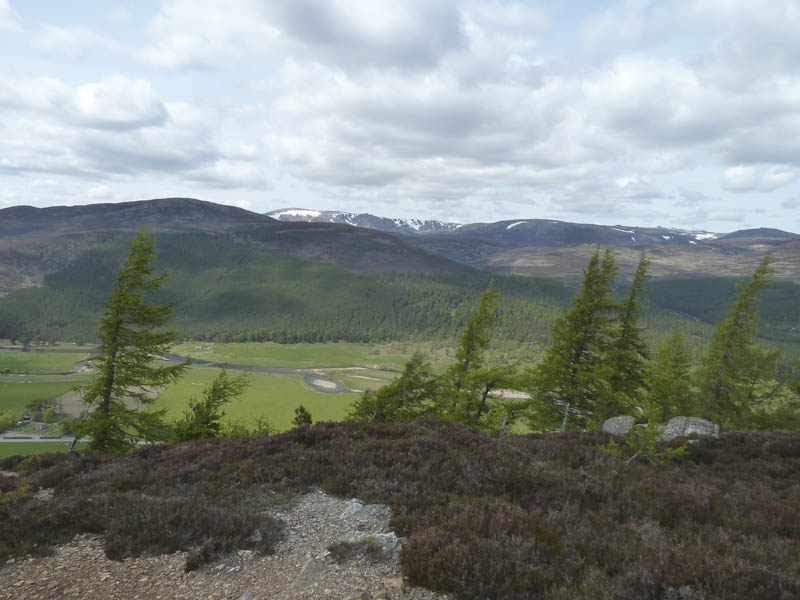
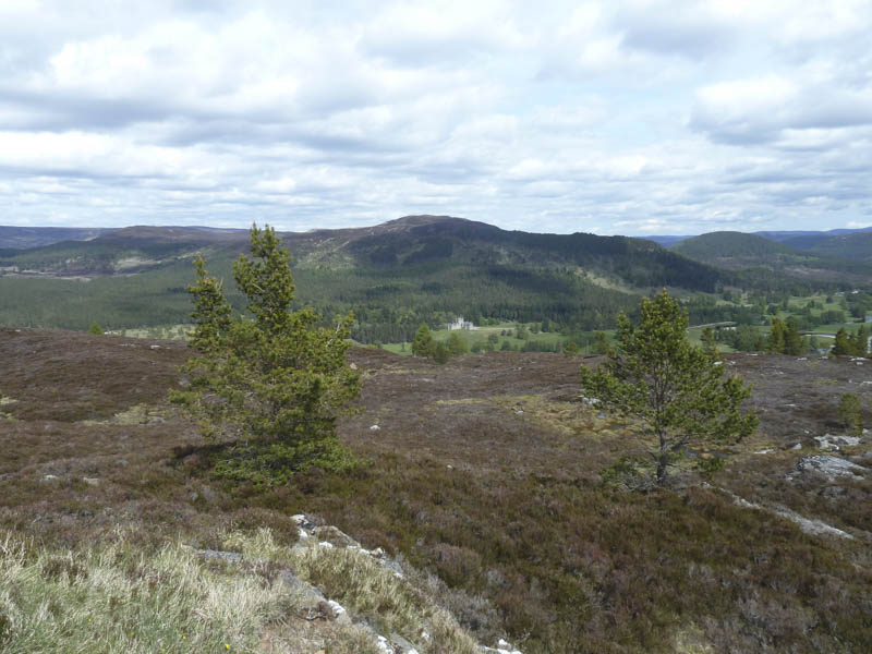
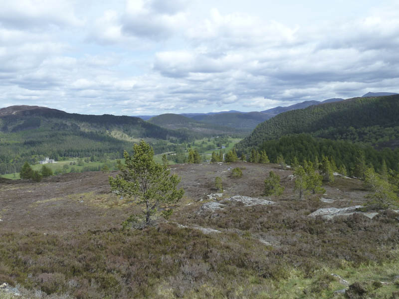
I took another break here with views of Beinn a’ Ghlo and beyond the Glen Lyon Munros Ben Vorlich and Stuc a’Chroin. I also thought that some of the snow patches on the mountains far to the west were around Glen Coe. I returned to the knoll below Creag an Dubh Shluic before descending its north-east ridge to a vehicle track. This track took me through a forest where I spotted a peacock. I emerged from the trees into a field and passed log cabins, some still under construction. This led to the road running through the Spittal of Glenshee just south of the Shee Water.
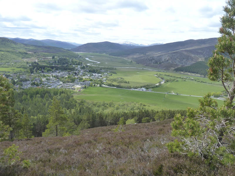
Creag Choinnich – I left my vehicle in the car park within the village of Braemar, crossed the A93, and walked up Hillside Road to a large gate in a deer fence. Once beyond this gate a signpost indicated the path through the trees.
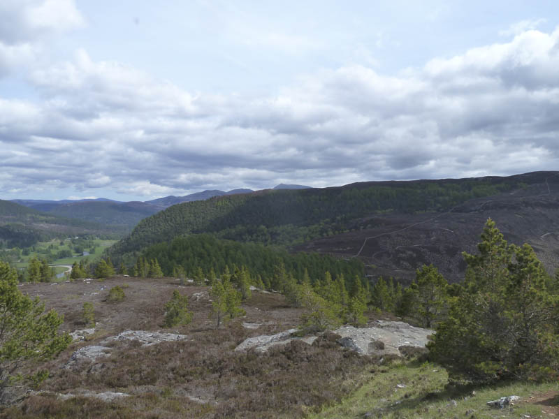
Initially it was an easy stroll but the gradient soon increased and the path became quite rough with areas of rock. Height was quickly gained and I stopped briefly to take in the views of Glen Clunie, Braemar Village, the River Dee as well as the hills of Morrone and Creag Bhalg.
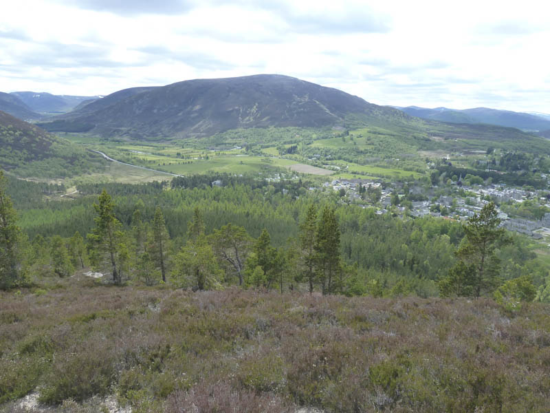
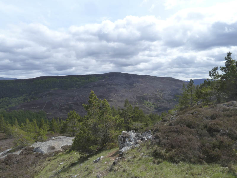
The summit cairn of the Hump, Creag Choinnich, was soon reached and the views now included Beinn a’ Bhuird, Ben Avon and Lochnagar. Despite meeting a few folks on the path I had the summit to myself so I lingered here for a while before returning to the village by the upward route.
- Total time taken – 6 hours.
- Total distance – 15 kilometres.
- Total height climbed – 990 metres.