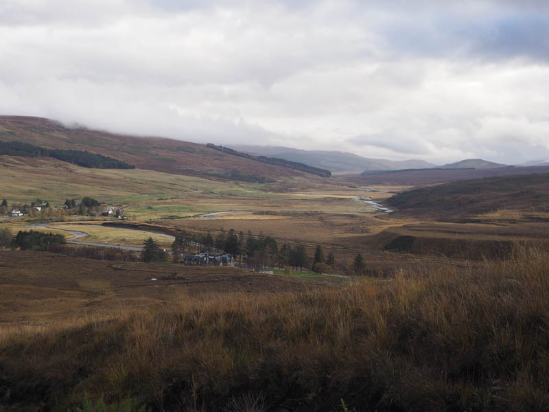
I left my car at the side of the road between Ledgowan Hotel and Ledgowan Lodge, immediately west of the A890 and just south-west of the hamlet of Achnasheen, and walked towards the Lodge crossing a cattle grid and some signage. There was then a pedestrian gate in the deer fence to the west which appeared reasonably new but without any signs so I wasn’t aware it led to the route I planned to take. I continued to Ledgowan Lodge and opposite this large house and despite a Keep Out sign walked towards a large agricultural building and beyond it located the required track. However I soon came to a padlocked gate which wasn’t climbable so used the deer fence to the side. Once over it I noted the Keep Out sign on the gate with tracks through the long vegetation leading towards the pedestrian gate I had passed a few minutes earlier.
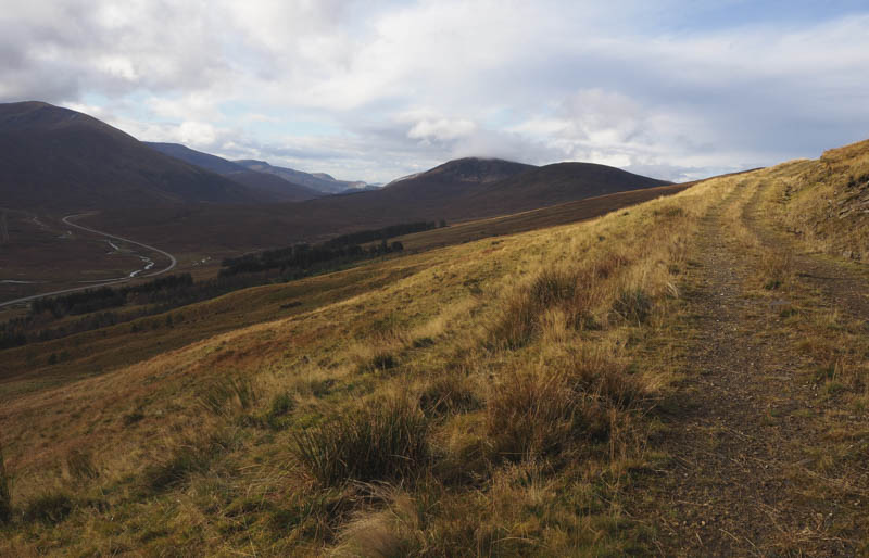
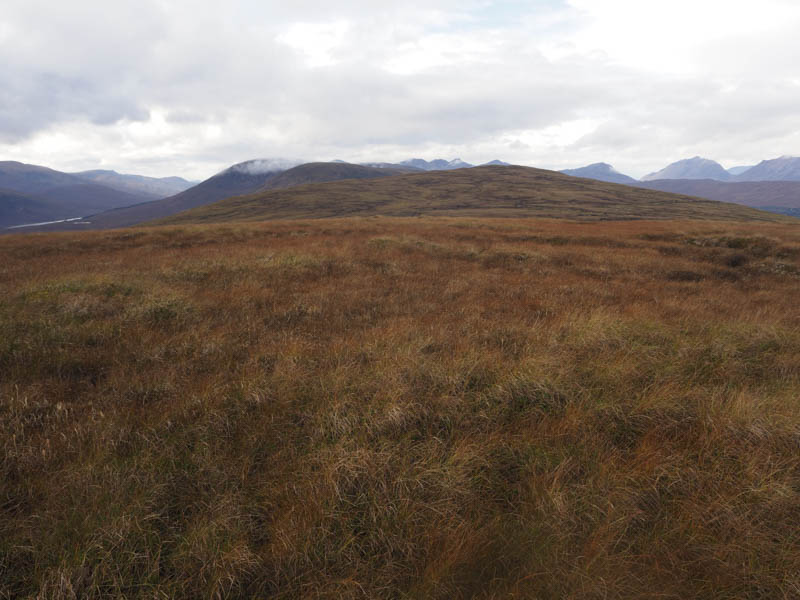
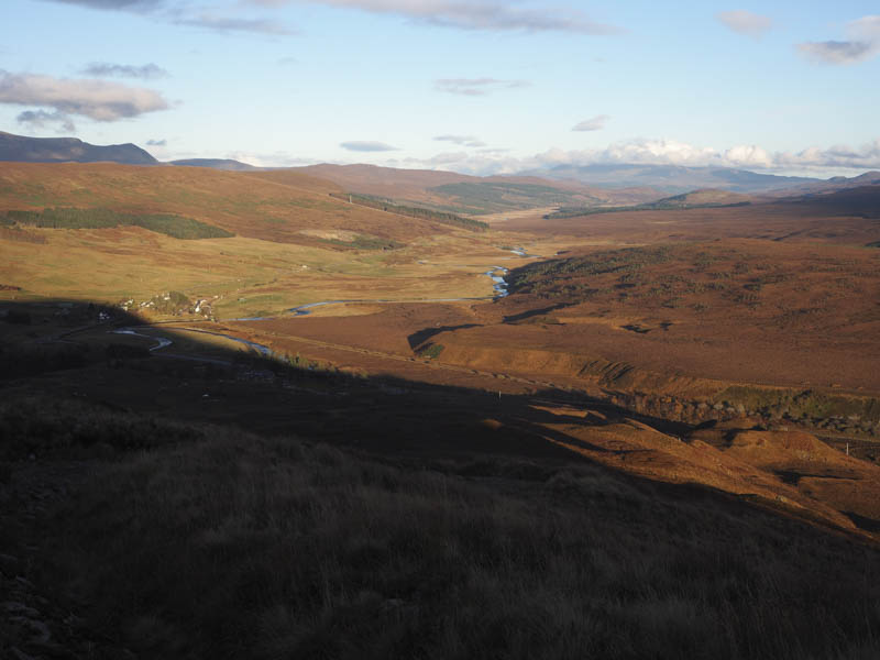
I continued along the vehicle track which took me onto the north-east ridge of An Liathanach East Top. This track was constructed several years ago and was an ugly scar on the hillside especially when viewed from east of Achnasheen. Although still a scar it isn’t nearly as bad as some of the vegetation has re-generated.
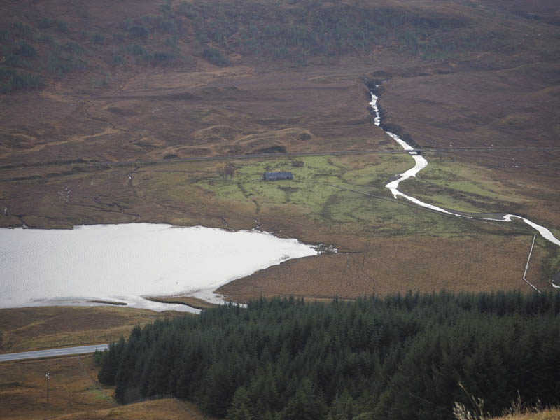
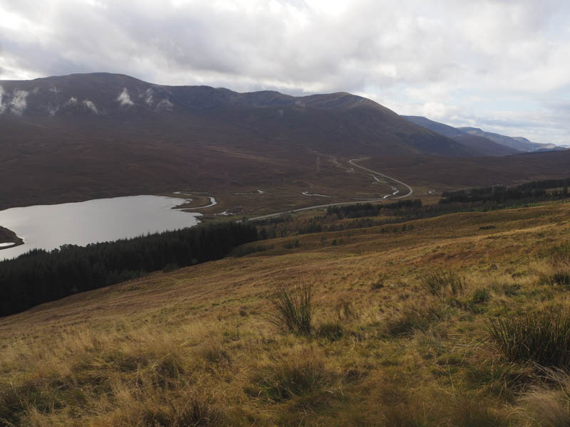
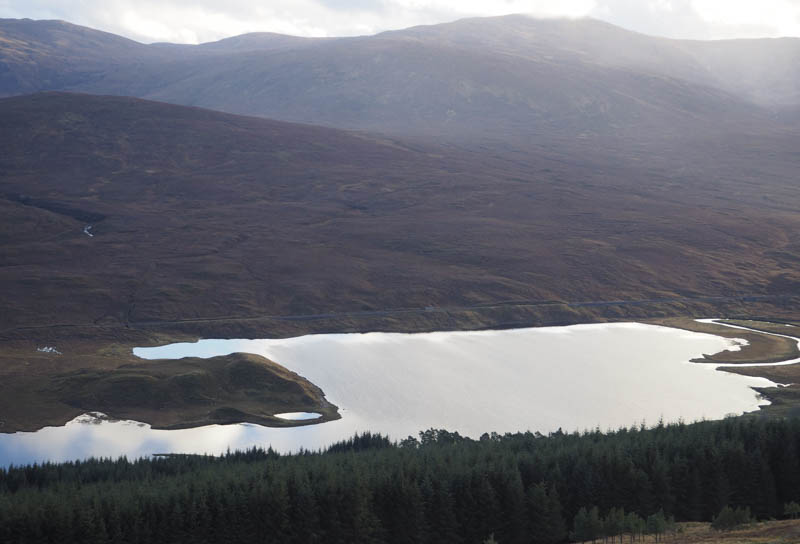
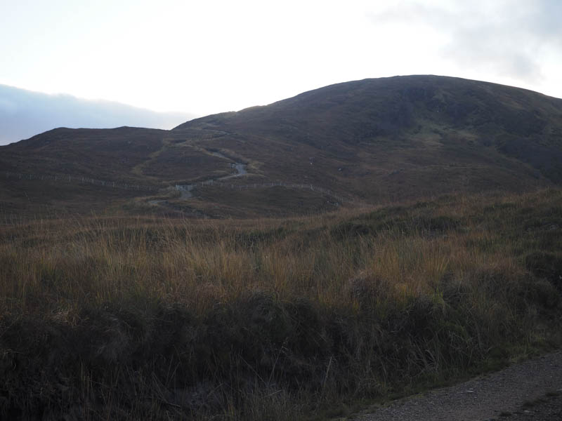
A deer fence was reached with the gate padlocked but there was a pedestrian gate at the side. The vehicle track was steep in places but once the gradient eased it was a pleasant walk high above the A890 looking down to Loch Gowan.
Another deer fence with similar gates was reached then the track turned west below the East Top and unexpectedly came to an end at NH137569. Maps on-line showed the vehicle track continued round the north side of An Liathanach but this is no longer the case. A sign stated “Peatland Restoration Site Sensitive to Trampling”.
At this point I walked north through vegetation to the deer fence spotting a gate to the east. On arriving there it was locked with the crossing a bit awkward due to a wire strand above it. Once on the other side of the gate I headed to the summit of the Tump, An Liathanach East Top, the highest point being a knoll but there were a few small knolls to choose from.
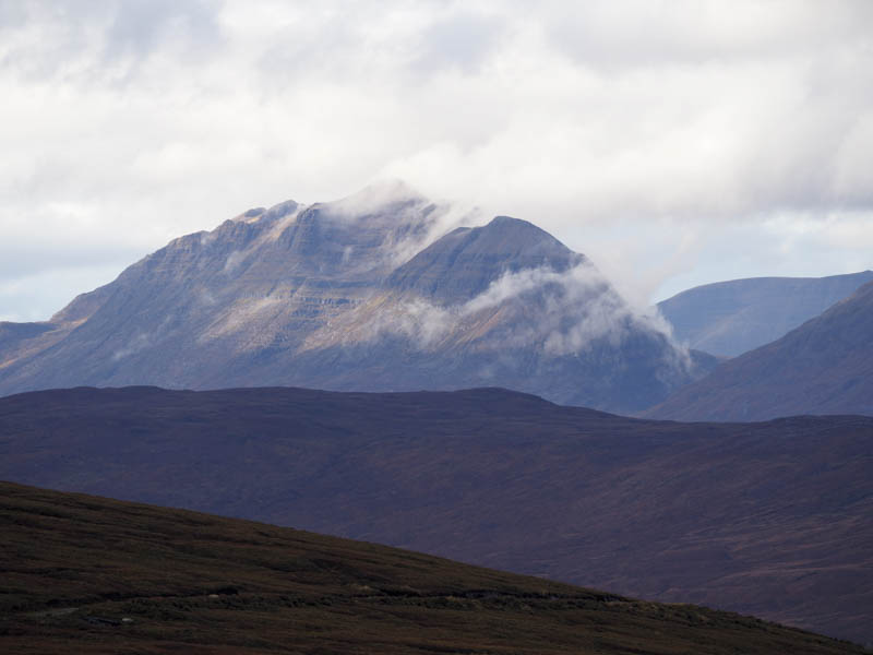
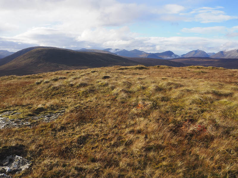
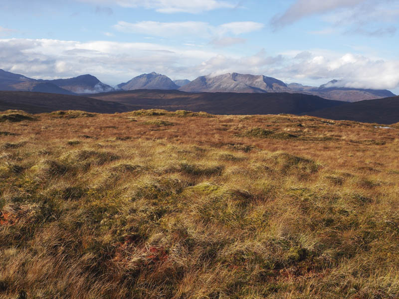
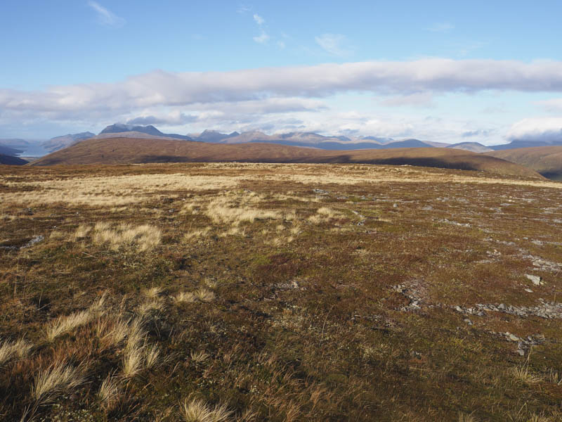
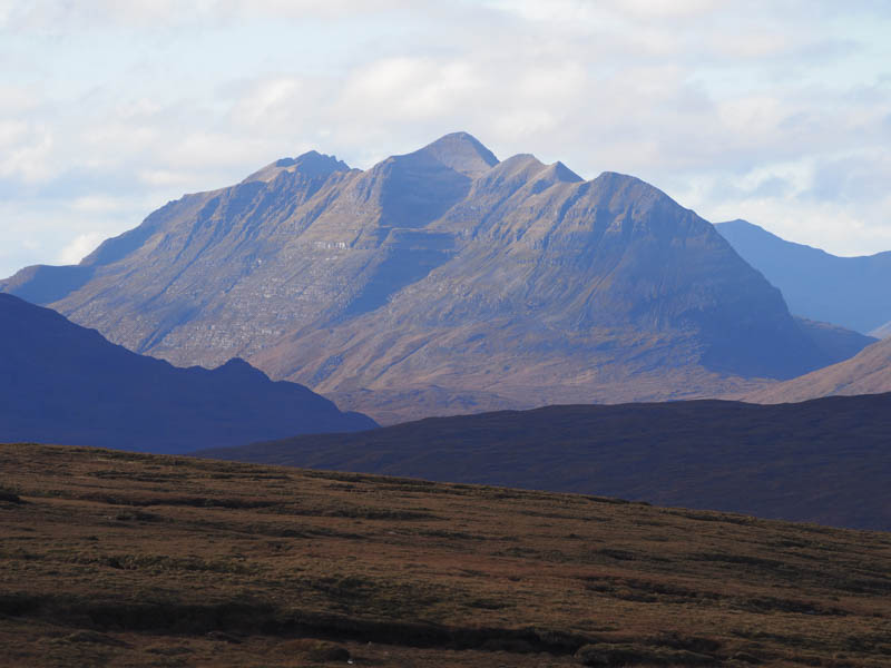
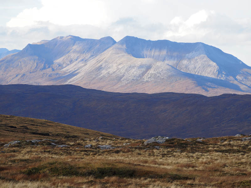
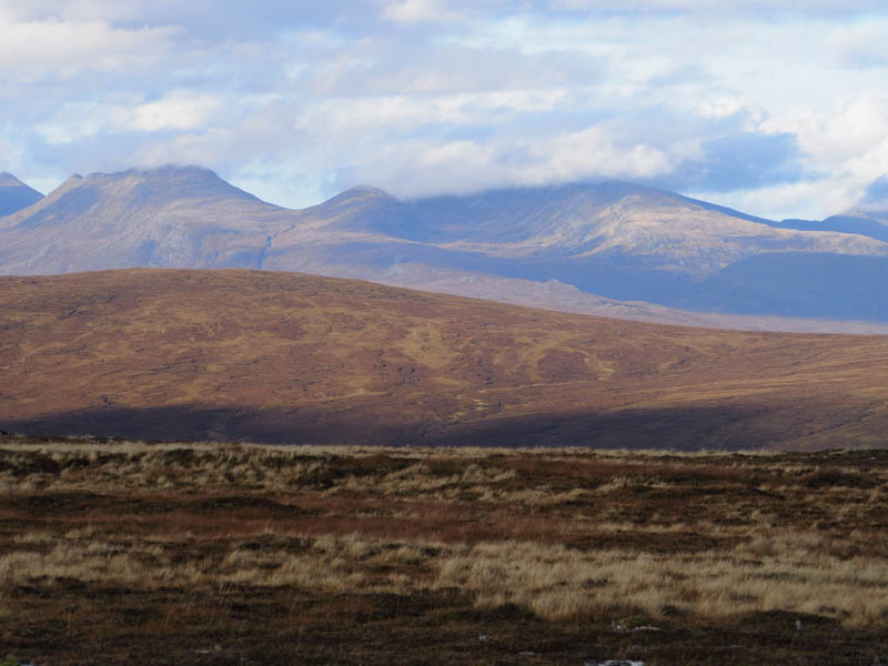
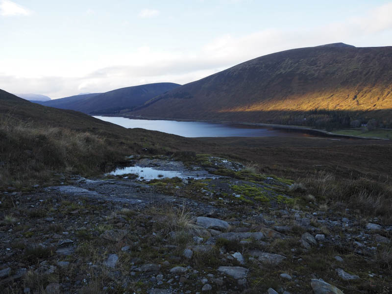
After a coffee break taking in the views including the Torridon Mountains I descended west and crossed the deer fence to reach the col with An Liathanach. The area was covered in lots of dammed bog pools and involved a fair bit of meandering to make progress although the walking was easy enough, just a bit wet and boggy. These conditions continued on the ascent of An Liathanach where a small rock marked the summit of this Hump.
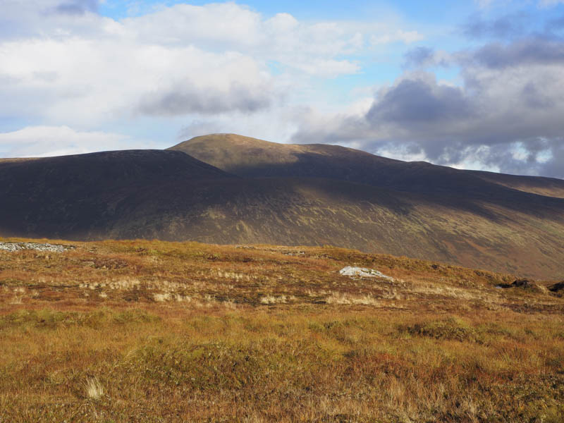
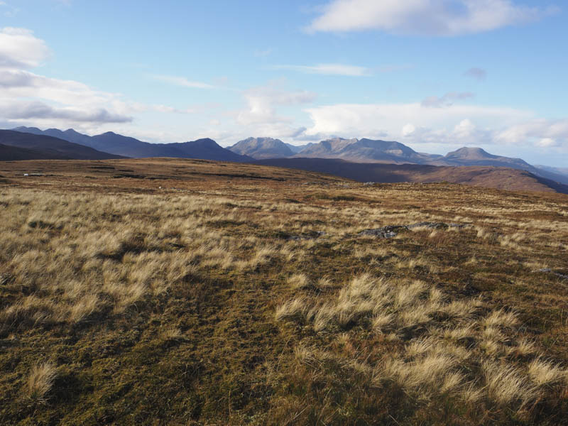
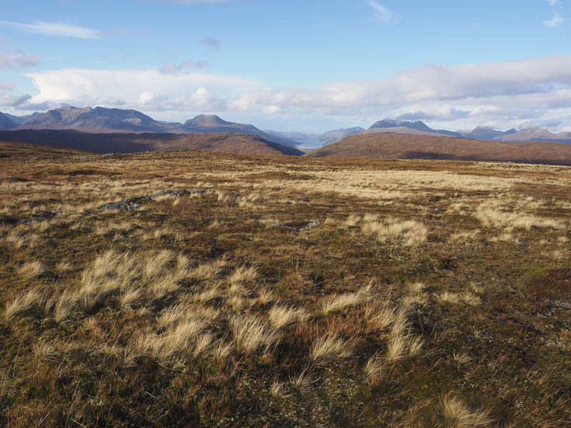
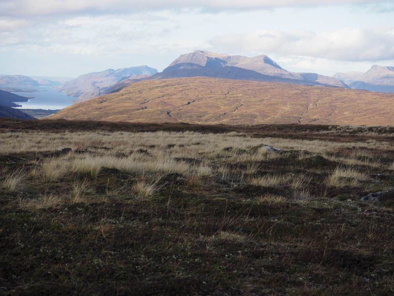
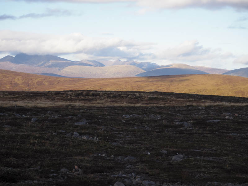
It was only midday and with the weather continuing to improve as were the views I decided to continue to Carn Beag some two kilometres away. I walked west then south-west, still with lots of bog and wet ground, to reach the watershed north-east of Carn Beag. I then commenced the ascent of this Tump, later crossing the estate track that came up from Luib on the A890. It was a steady climb onto its North Ridge then to the trig point, surrounded by a cairn, marking the summit. It was November and despite a slight breeze it was a pleasant spot for lunch and numerous photos.
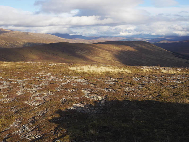
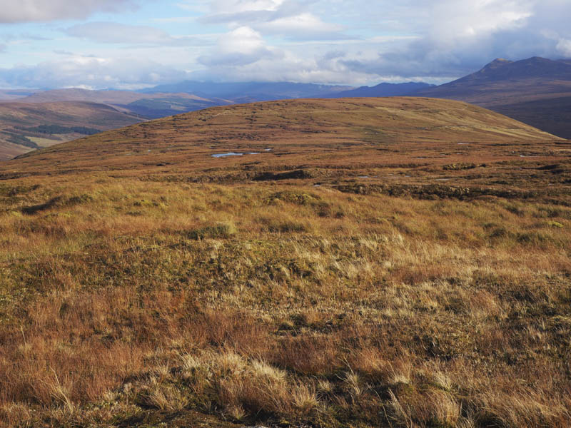
There were a few options for returning to my car including descending to the A890 at Luib but with the fine weather I wanted to remain high. I descended east, crossed the vehicle track then worked my way round the south side of An Liathanach. Although the ground was wet with lots of bog pools and a couple of gullies it wasn’t a difficult traverse. I then headed to the vehicle track at NH137569. The track was followed back to the start by-passing the Lodge using the pedestrian gate.
- Time taken – 5.75 hours.
- Distance – 15 kilometres.
- Height climbed – 655 metres.