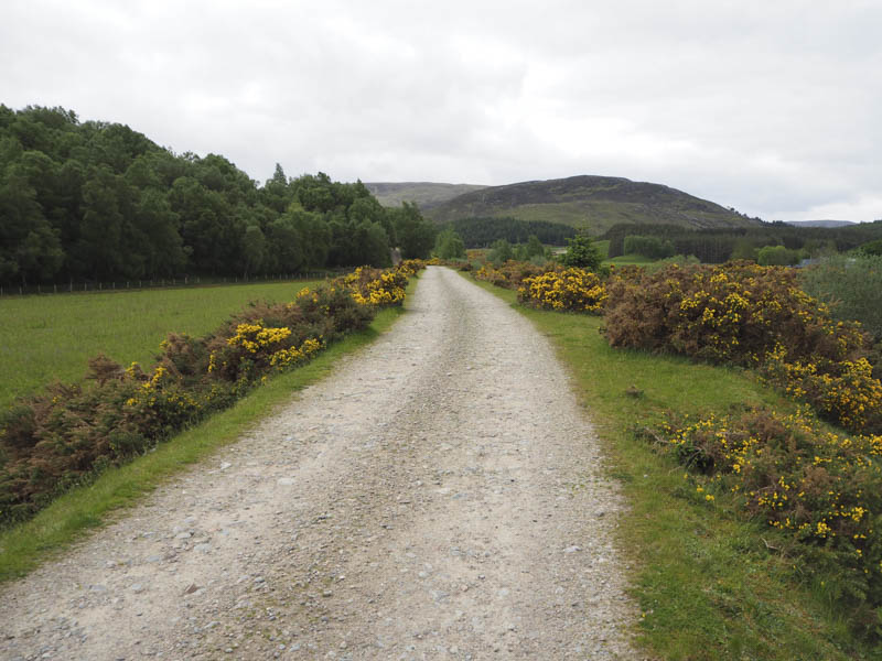
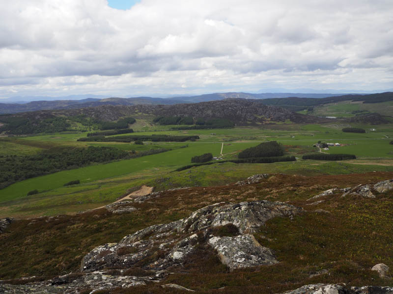
I parked on the verge of the B851 Farr to Errogie Road, just west of the bridge over the River Nairn, and walked south then later south-east along a vehicle track on the east side of the Allt Mor, gradually gaining height.
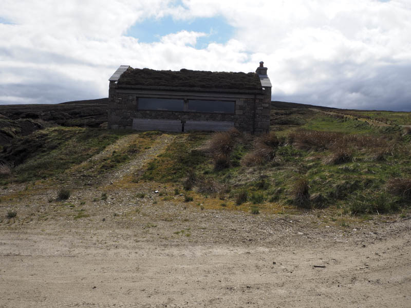
At NH645230 a new vehicle track headed east below Carn Doire na h-Achlais but I continued along the older track to a shooter’s hut where I sat on the doorstep taking on some fuel.
Here there was a junction of tracks, one went west, one east and the other which I followed south to soon be replaced by a peaty ATV track which was reasonably dry.
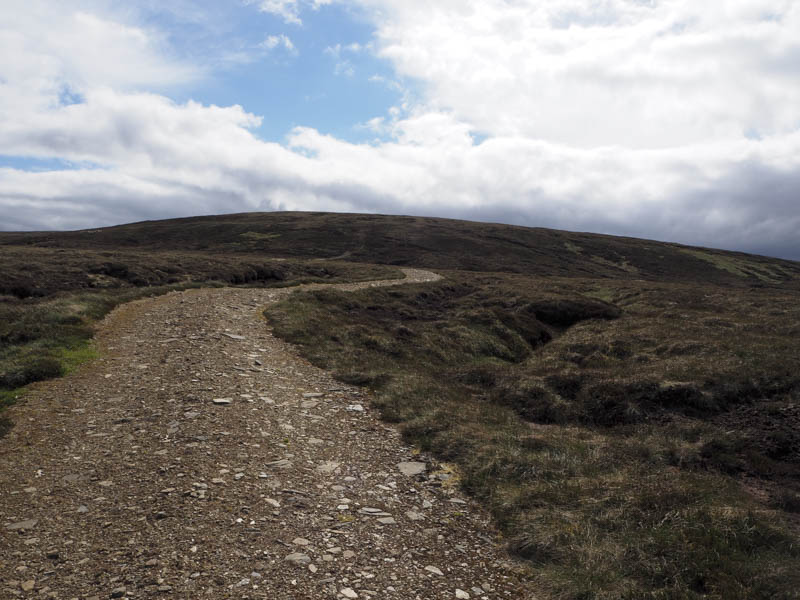
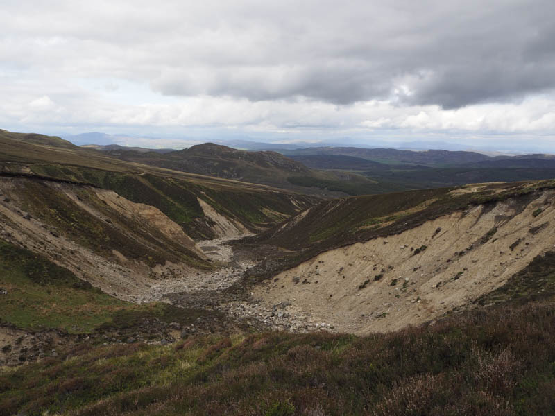
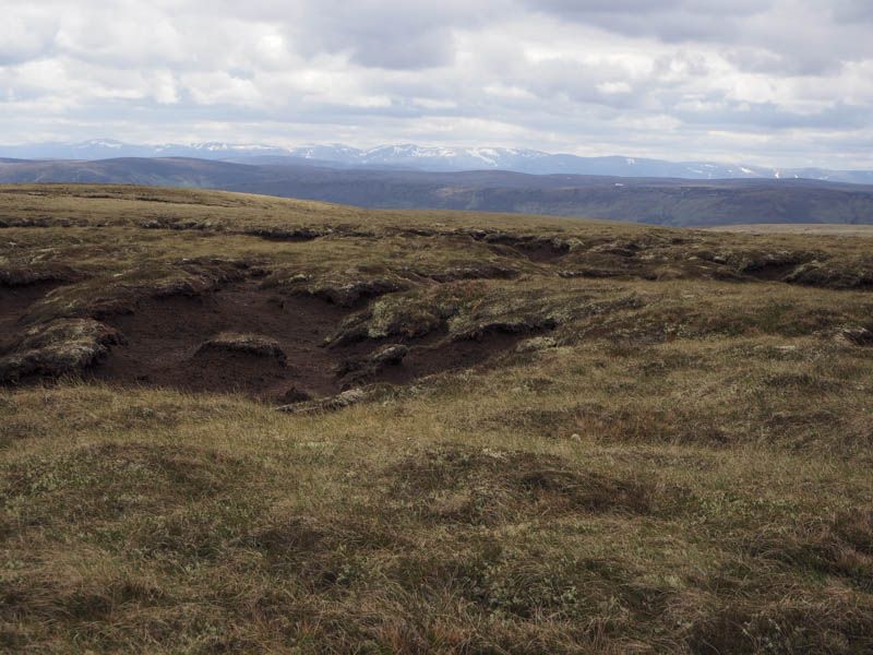
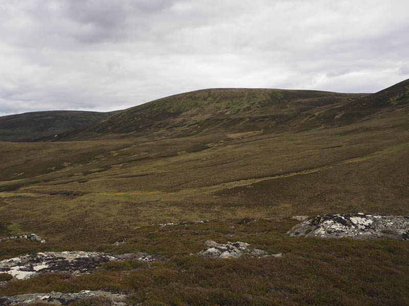
The track passed a number of shooting butts to an area of stone and peat where it disappeared. I continued through a mixture of rough vegetation and fairly dry peat hags, using the latter to make reasonable progress. The summit of the Graham Top, Carn Ghriogair North Top, was reached but I was unable to tell which of the tussocks was the highest.
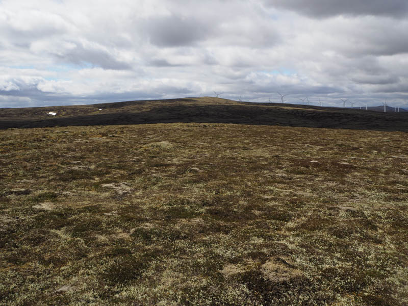
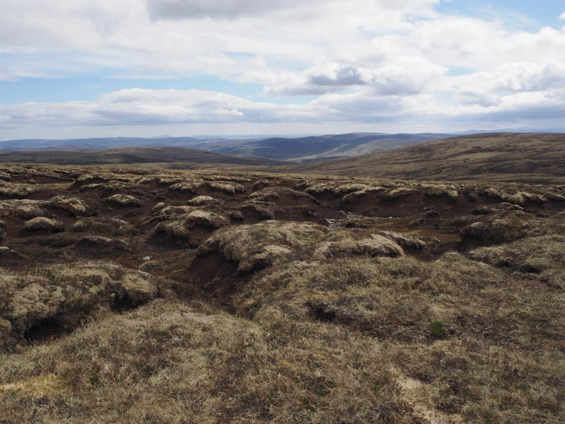
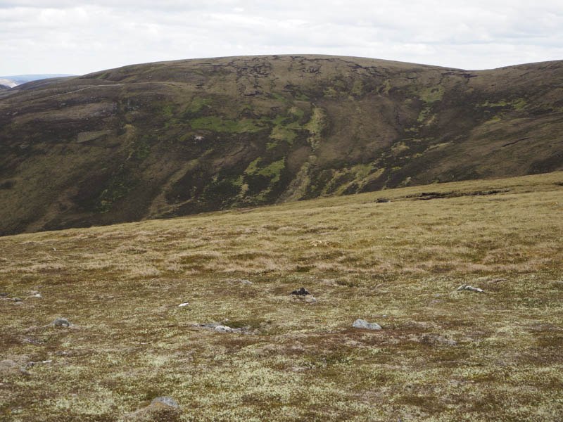
From there I descended north through similar underfoot conditions again using the peat hags before heading for the summit of the Sub Simm, Slugan Liath, where the highest point was somewhere amongst the peat hags. More were encountered as I descended to the col with Carn na Saobhaidh then old metal fence posts were followed over the summit of this Graham Top before returning to the highest point which appeared to be a peat hag beside a metal fence post.
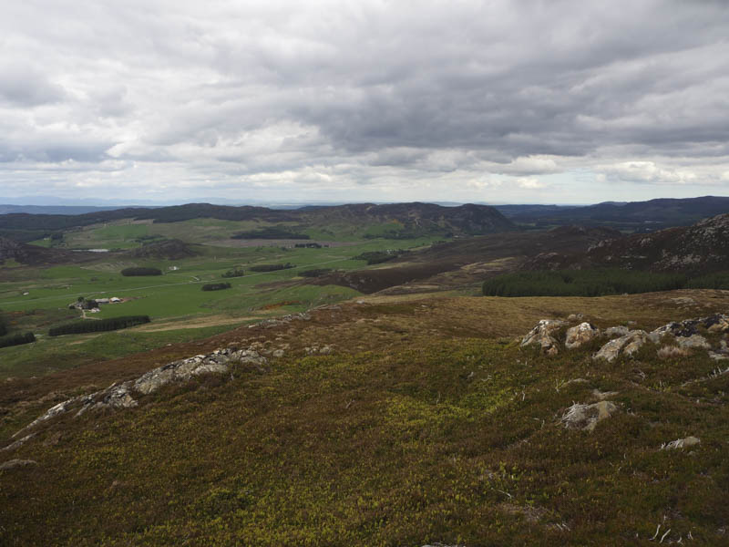
I returned to the col with Slugan Liath then traversed across its north face before descending to and crossing a new vehicle track at NH663234.
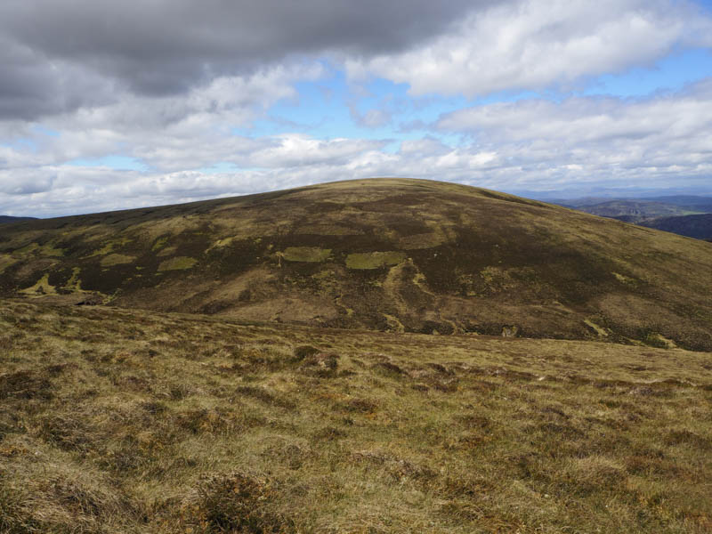
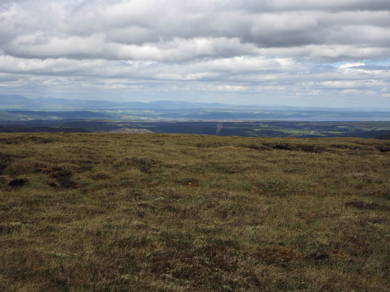
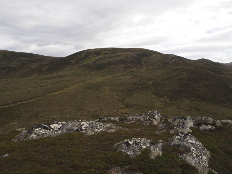
With fewer peat hags I then ascended Beinn Acha’ Bhraghad to a metal fence post which appeared to be the highest point of this Graham Top. Here I met a couple of Simm Baggers.
After lunch I descended south-west to the new vehicle track (NH650235) which I had spotted earlier in the day. I briefly followed it to gain some height before ascending Carn Doire na h-Achlais, where the highest point of this Sub Simm was either the cairn or some rocks.
I then continued through more rough vegetation to the col with Carn Leachter then it was a short ascent to the cairn marking the summit of this Tump.
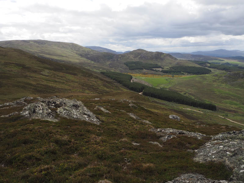
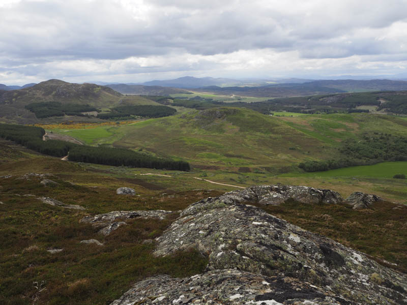
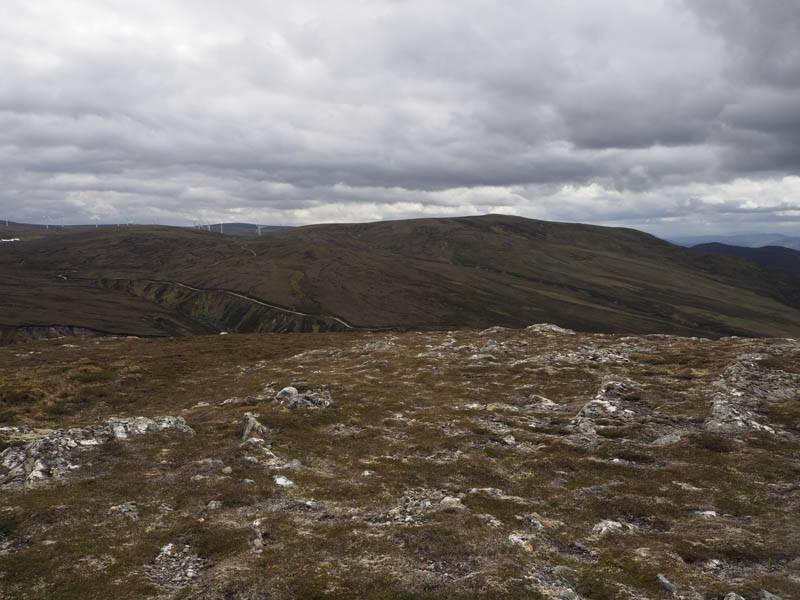
The descent west then south-west was through some rocky ground, across a stock fence, the deer fence having been removed, to another new vehicle track at NH639247. This track headed into and through a forest, some of the trees having been harvested, to reach the vehicle track used earlier in the day at NH632241. I then returned down this track to the start.
- Time taken – 7 hours.
- Distance – 18 kilometres.
- Height climbed – 805 metres.