I hadn’t climbed the Corbett Top, Carn Bhac South Top, located to the south-west of Braemar, probably because it is awkwardly placed to the south of the Munro, Carn Bhac. I looked at a couple of approach routes but settled for a circular walk starting at Inverey, west of Braemar, and taking in several previous climbed tops.
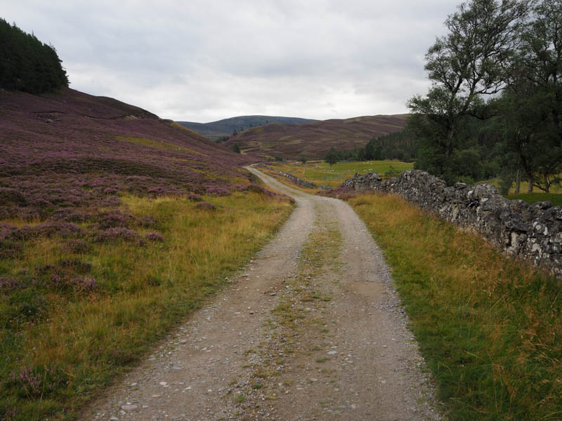
On my arrival at Inverey there were already a few vehicles parked up in the car park on the south side of the road and once geared up I set off south along the estate track passed the properties at Knock Cottage and to the gated bridge across the Ey Burn.
There was then some height gain before the track levelled out and here I was passed by a couple of chaps heading north and a couple making good progress south on electric mountain bikes. They were the only folks I saw on this trip.
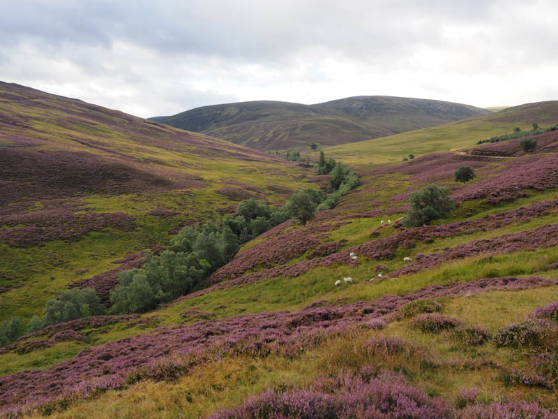
A slight descent led to the ruins at Auchelie and here I left the Glen Ey track and walked south then south-west along a vehicle track on a relative easy gradient, with a couple of slightly steeper sections, onto Carn nan Seileach.
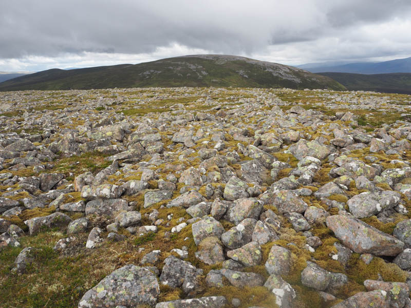
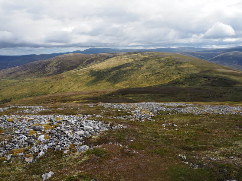
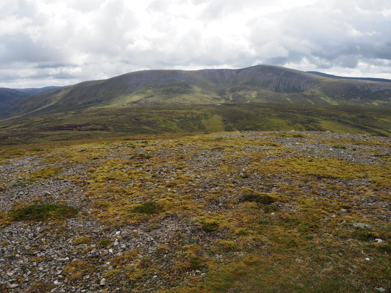
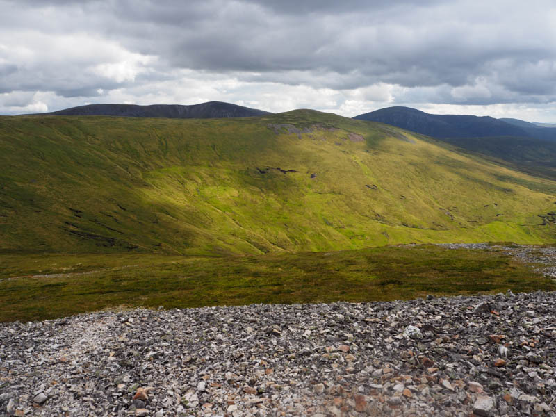
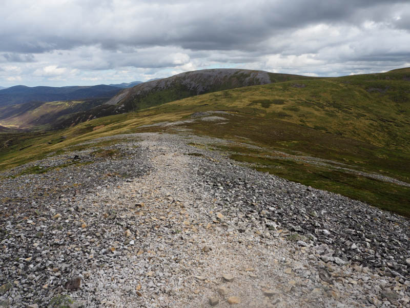
The track then levelled out as I continued to the 731 knoll before losing height to reach the col below Carn Creagach where the track came to an end. Beyond the ground was mossy and boggy with two unattended diggers on the hillside which appeared to be used to level out the bog. The pathless ascent of Carn Creagach took me onto the stony summit area and to the cairn marking the highpoint of this Hump and Corbett Top.
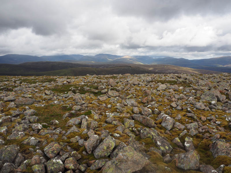
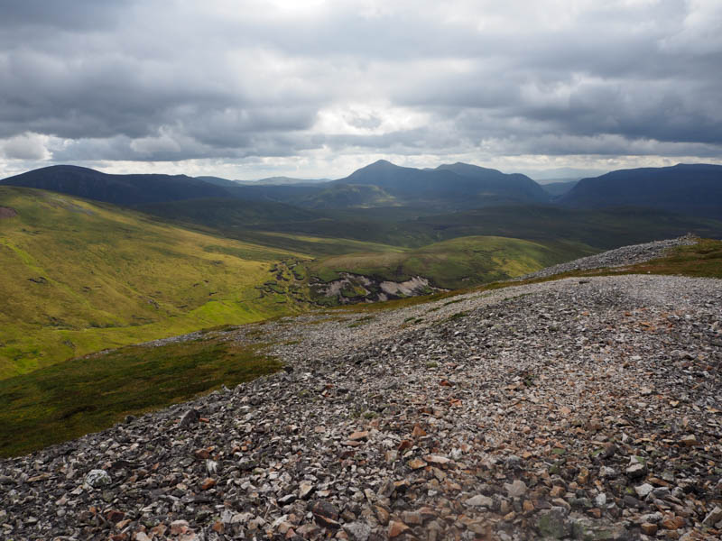
After a break here I descended west and beyond the stony ground there were traces of a path to the col with Carn Bhac. Still using paths it was a fairly easy ascent of Carn Bhac although the gradient did increase with height. The summit of this Munro was the small cairn south of the shelter cairn.
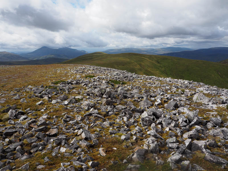
I headed off down the south-west ridge and to the Munro Top, Carn Bhac South-West Top, the summit marked by a cairn, then still in a south-westerly direction out to the Sub Simm, Carn a’ Bhutha, where a cairn also marked the highpoint.
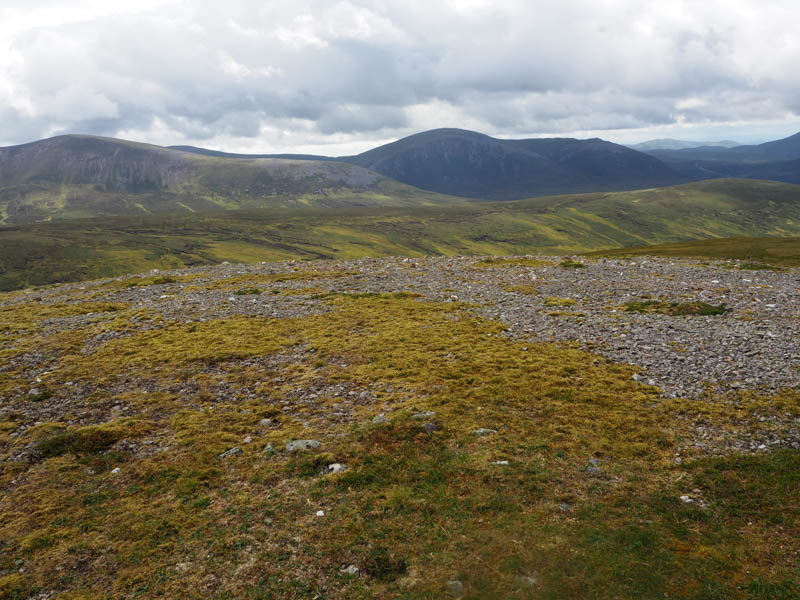
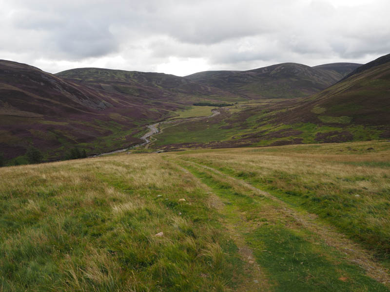
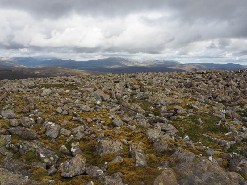
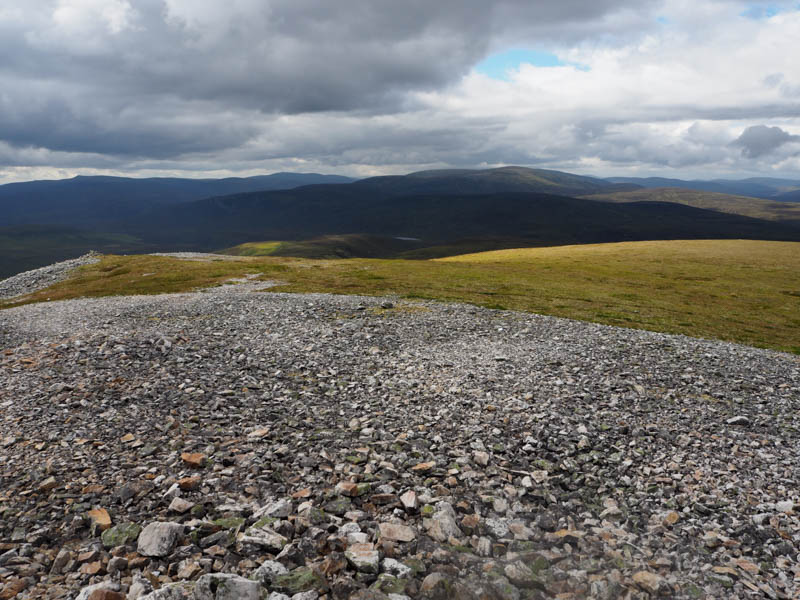
The next hill was to the south-east of Carn a’ Bhutha but a direct route involved a steep descent so I headed east then south-east to reach the col north of Carn Bhac South Top. Here there were numerous peat hags, mostly dry, so I used them to gain some height then it was across heather to the summit of Carn Bhac South Top. The highpoint of this Corbett Top was unmarked and was somewhere amongst the heather.
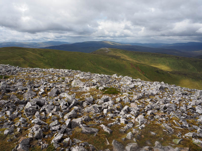
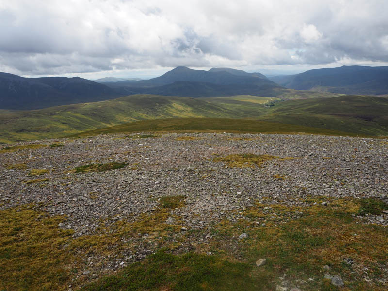
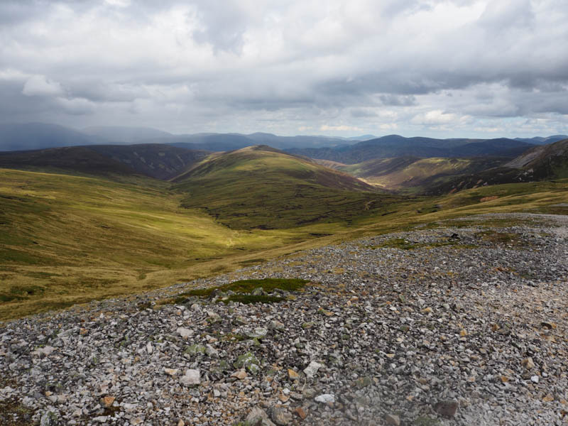
It was now time to head back to the starting point via a few more Tops. I returned to the col below Carn Bhac South Top and once beyond the peat hags climbed onto the south-west ridge of Carn Bhac South-West Top. I traversed round its west face, gaining a few metres to avoid some stony ground, before descending to the col with Geal Charn then climbing to the summit of this Corbett Top. The middle cairn was apparently the highest point.
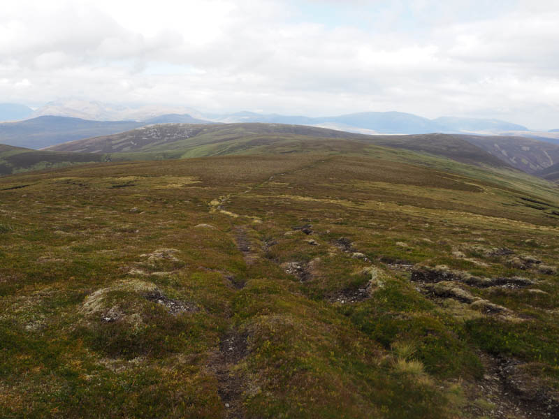
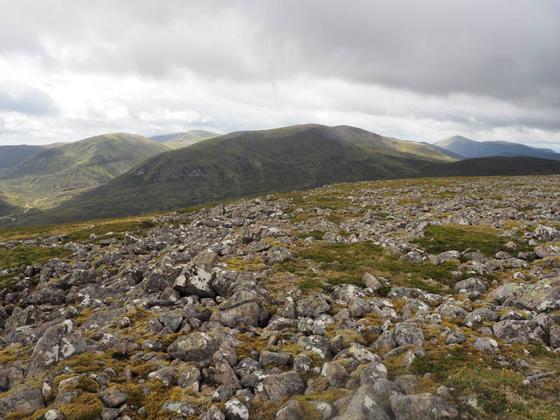
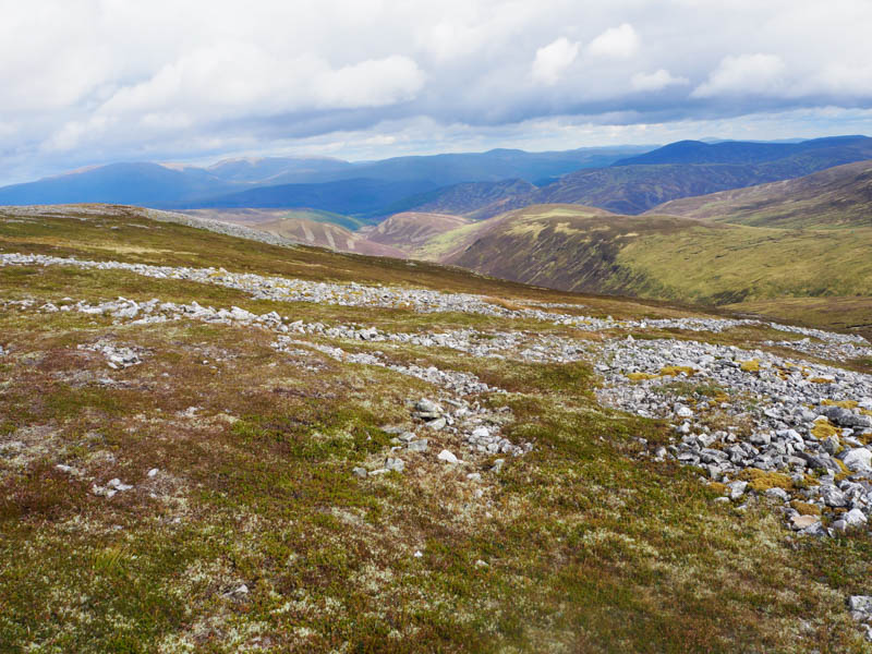
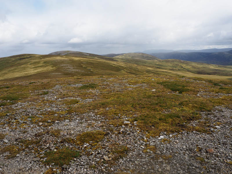
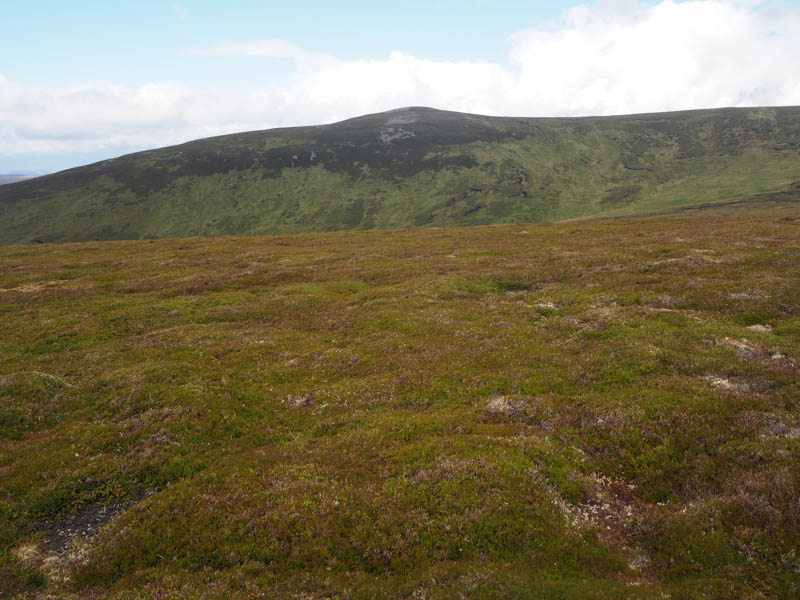
After a late lunch within the shelter cairn I descended north over Geal Charn North Top and Geal Charn Far North Top, both Sub Simms. Although there was a path it was boggy in places and led to the top of the vehicle track below Carn Liath. This track was followed east then north-east as I descended to the minor road west of the Ey Burn and Inverey. It was then a short road walk east to where I had left my car.
- Time taken – 8 hours.
- Distance – 27.5 kilometres.
- Height climbed – 1090 metres.