Earlier in the month I climbed the Hump, Meall Uaine, and a couple of Tops from the Spittal of Glenshee, located just west of the A93 Braemar to Blairgowrie Road. I was now back at the Spittal to bag a few more tops on the long twisting ridge to the south of Glen Lochsie.
This time I drove the extra mile and a half, north-west, from the Spittal to Dalmunzie Hotel and paid the £2.50 charge to park at the rear of their property. I then walked along the tarred road to Glenlochsie Farm but just before reaching these buildings I followed the signposted route for Glas Tulaichean, taking me across a field to join an estate vehicle track further west, thus avoiding the property.
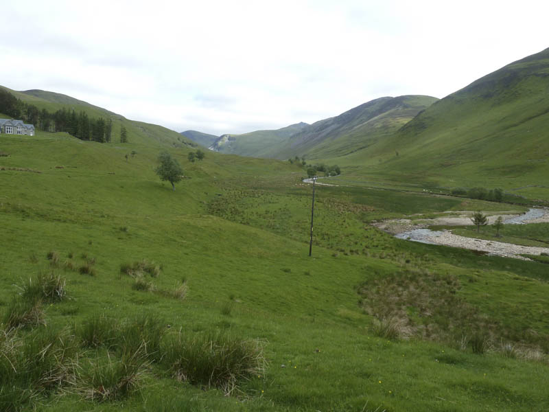
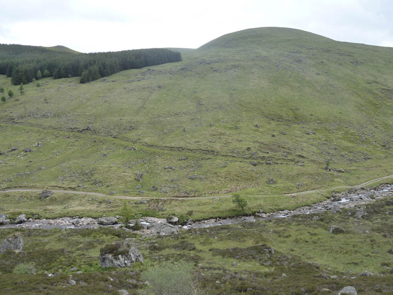
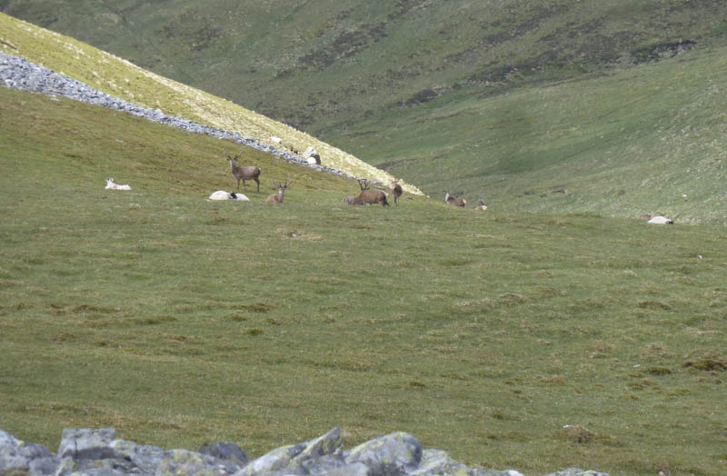
The track forded the Glen Lochside Burn and once across I left it and commenced the ascent of the north-east ridge of Meall a’ Choire Bhuidhe. It was a steady climb with a scattering of boulders and higher up I disturbed some deer, one of several herds I spotted that day.
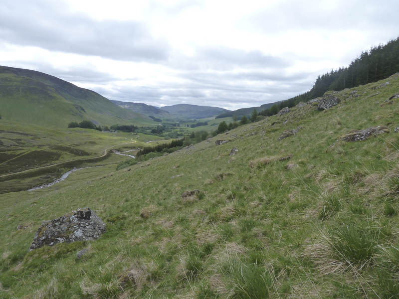
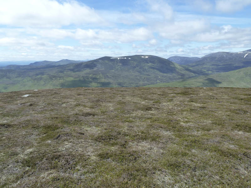
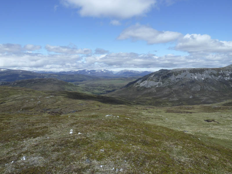
The gradient later eased as I made my way onto the south-east ridge of this Hump and Corbett Top. At the first cairn I took a break with distant views of the Pentland Hills, Ben Vorlich and Stuc a’ Chroin. Afterwards a short descent then climb north-west took me to the highest point on Meall a’ Choire Bhuidhe, marked by a cairn. Apparently it was a metre higher than the south-west one.
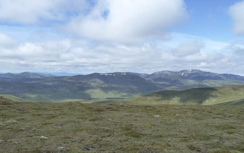
I descended north-west to a col then it was a short easy climb to the Corbett Top, Meall Ruigh Mor Thearlaich. Another drop led to the col with Carn Dearg and here I left the fence I was following to ascend the Corbett Top, Carn Dearg.
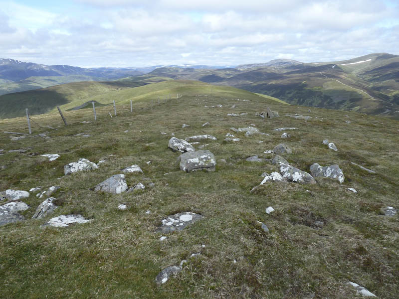
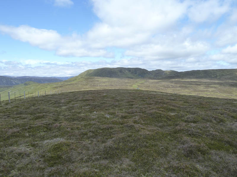
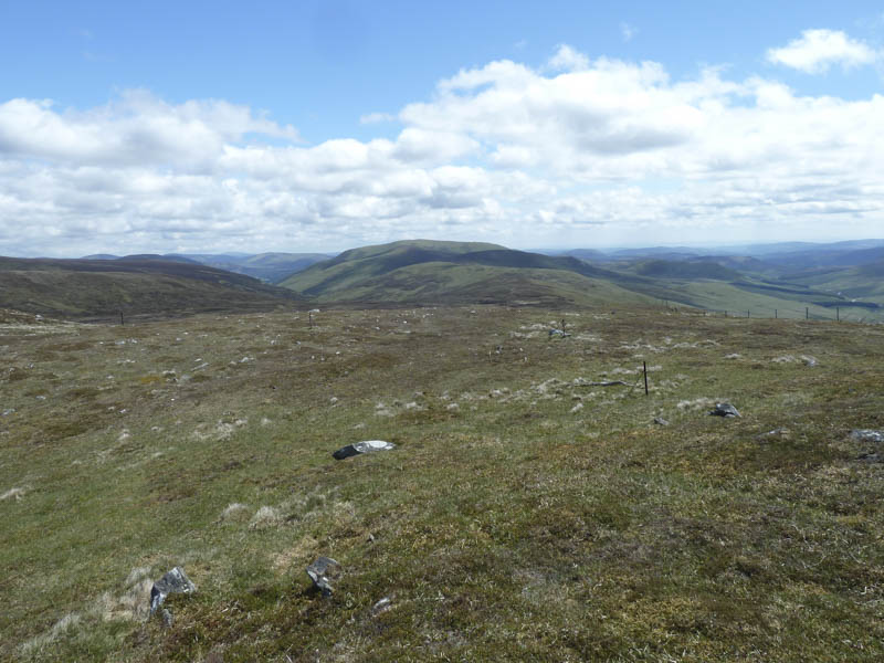
On rejoining the fence line I continued to Carn Dearg North Top another hill to meet the Corbett Top criteria.
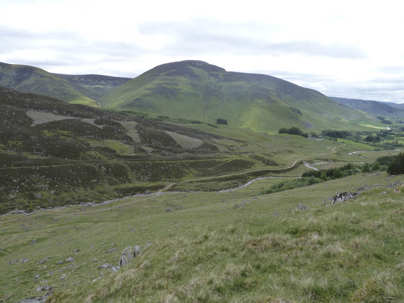
The descent west then north-west took me across rough and wet ground before making the short ascent to Carn Dallaig South Top, a Sub Simm.
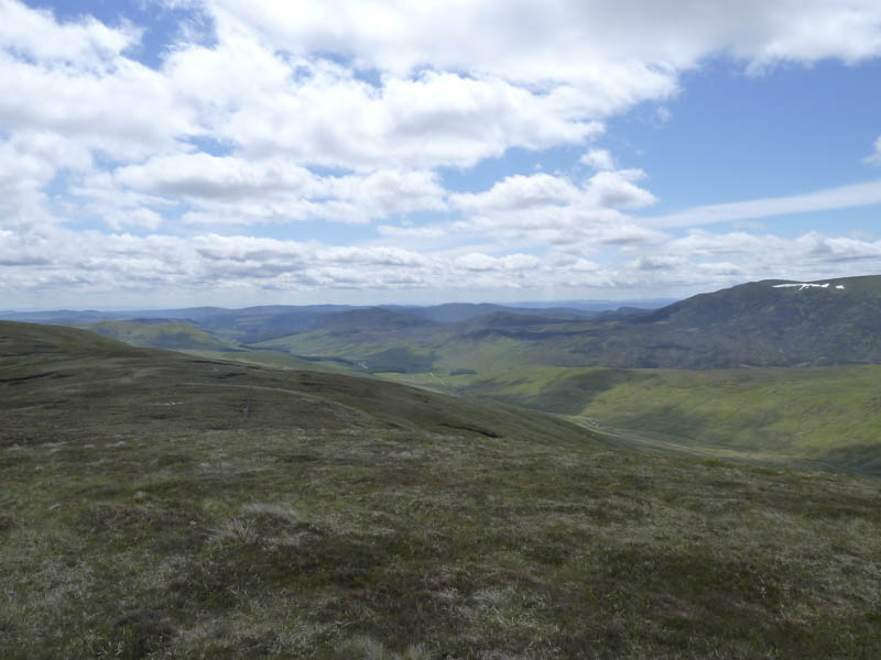
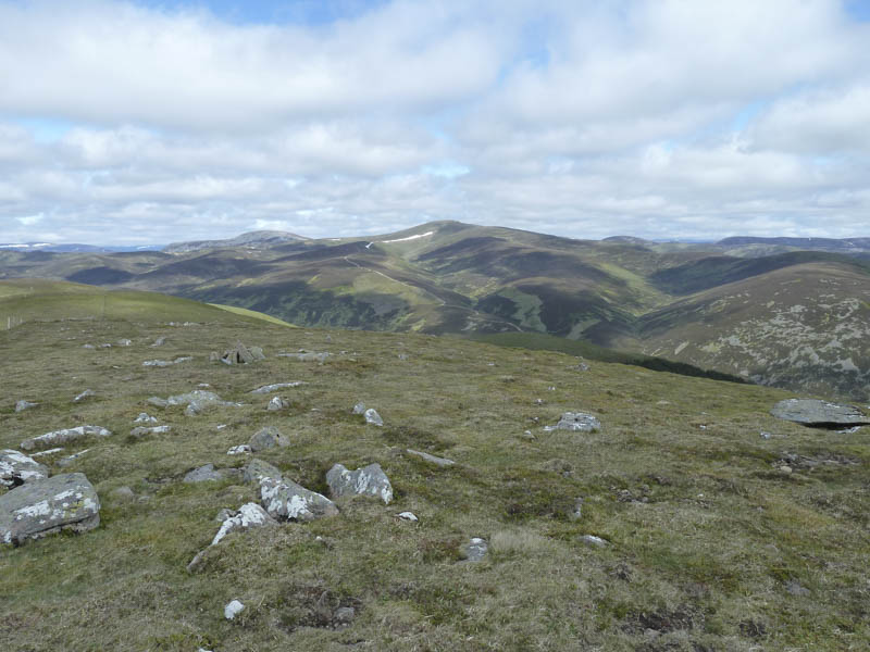
A few metres were then lost as I crossed more rough ground to reach the meandering Allt Lochan Caol na Feuraich. I thought it might be easier to follow this stream rather than continue along the side of the fence. The grassy vegetation was a bit rough with a few hollows as I crossed and re-crossed this stream several times. The gradient later increased and the underfoot conditions improved as I ascended to the cairn marking the highest point of the Corbett Top, Carn Dallaig. I took break here looking across to Beinn a’ Ghlo and Ben Vuirich while the higher Cairngorms and the Lairig Ghru were in cloud.
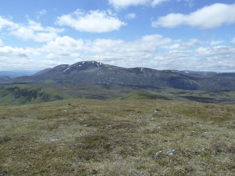
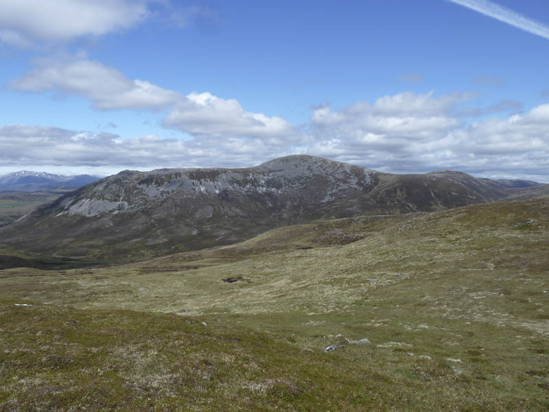
I considered continuing to Glas Tulaichean but returned to Carn Dearg North Top this time sticking to the fence line. From here I descended to Glen Lochsie and followed animal trails along the edge of the Glen Lochsie Burn.
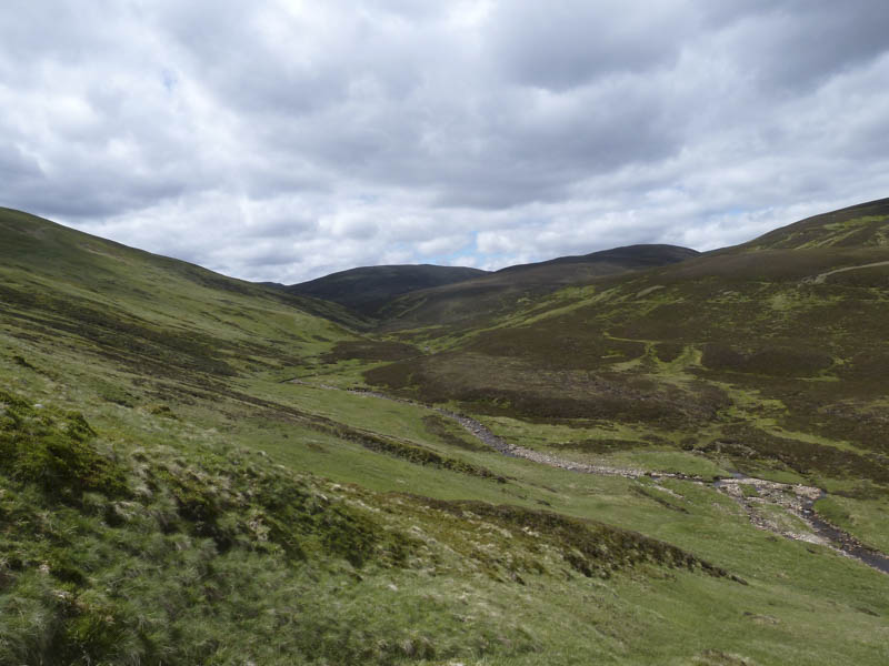
On approaching the ruins of Glenlochsie Lodge there were a few small waterfalls with steep banks so I was forced to climb through some long heather to gain the vehicle track just above the Lodge. I then chose to use the old railway line rather than the vehicle track rejoining it further east followed by a short stroll back to the hotel.
- Time taken – 7 hours.
- Distance – 20 kilometres.
- Height climbed – 860 metres.