Beinn Loch Dhugaill, Doire na h-Achlais and Sgurr Breac I headed for the highpoint on the minor single-track road that ran between the A851 Teangue to Armadale Road at Ostaig to the hamlet of Tarskavaig. I had been to this point on the Sleat Peninsula, Isle of Skye, back in 2012 to climb the Sub 2K Marilyn, Sgurr na h-Iolaire.
There was space for possibly two vehicles but with no one else around, not surprising it being November, there was no parking issues. I left my car and initially walked east on a path which led in the direction of the Marilyn, but I soon left it and headed across rough vegetation, easy enough going, and onto the summit of the Tump, Beinn Loch Dhugaill, marked by a cairn.
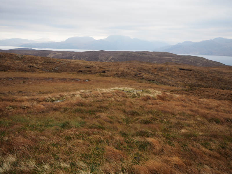
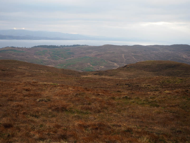
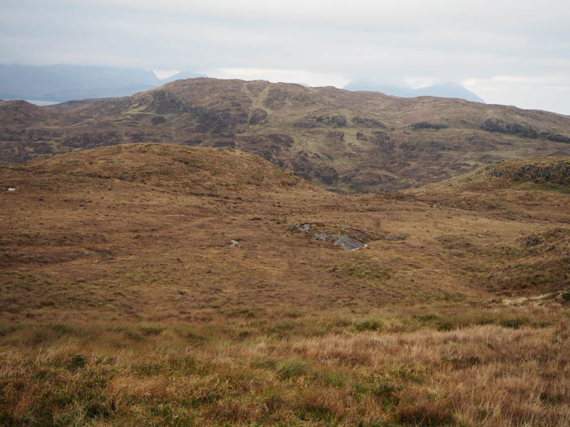
I returned to my car, crossed the road, and walked through pathless vegetation, onto the summit of Doire na h-Achlais.
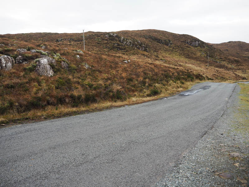
The summit of this Tump was marked by a boulder on top of an outcrop. Nearby was a small comms tower and wind turbine.
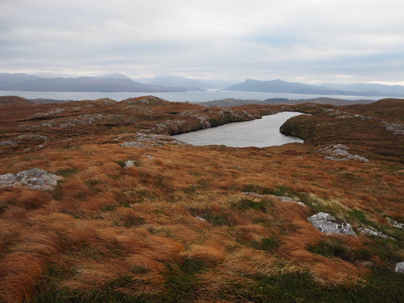
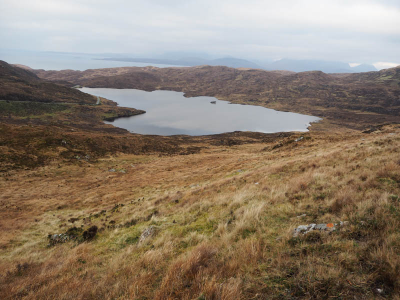
The descent west to the north end of Loch Ic Iain involved some twists and turns as I tried not to lose too much height.
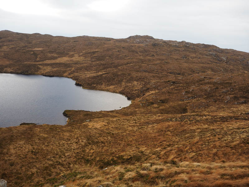
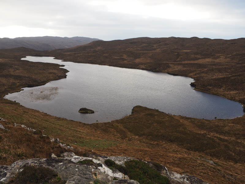
From there I climbed through some longer vegetation onto the Tump, Sgurr Breac, the highest point being a cairn on top of an outcrop.
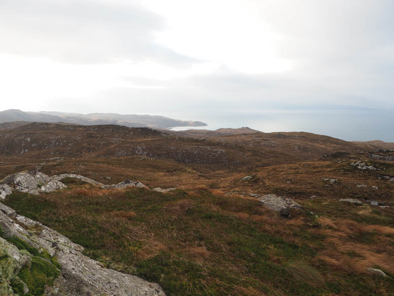
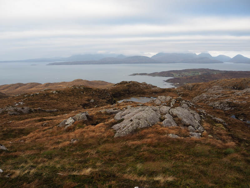
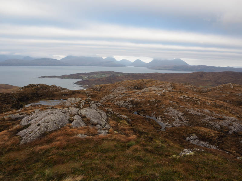
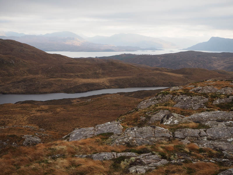
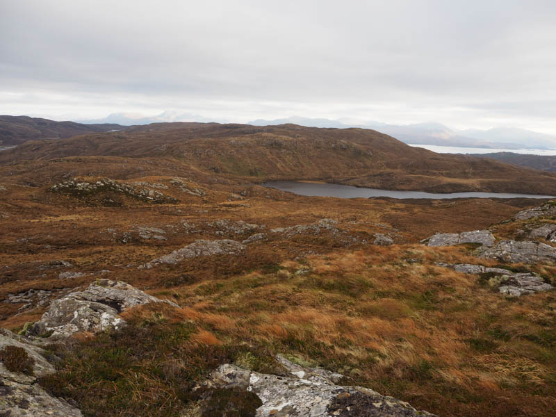
I returned to the north end of Loch Ic Iain then descended through fairly rough vegetation to join the minor Tarskvaig road west of Loch Dhugaill followed by an uphill road walk back to my car.
- Time taken – 3 hours 30 minutes.
- Distance – 7.75 kilometers.
- Height climbed – 355 meters.
Sgiath-bheinn Togabhaig and Sgiath-bheinn Chrosabhaig – I then drove through Tarskvaig then to east of Tokavaig parking in an old quarry just west of Alavik Lodge. I walked west along the edge of a deer fence for a few metres then followed it south-east to a stile.
Once on the other side the underfoot conditions were very rough with long vegetation, bog and some small bushes. I managed to push my way through them to reach another deer fence which was older with weak wooden posts. It took me a few attempts to locate a suitable crossing point where the post wouldn’t collapse. It was then onto the north-west ridge of Sgiath-bheinn Togabhaig and to the summit of this deleted Tump, marked by an outcrop.
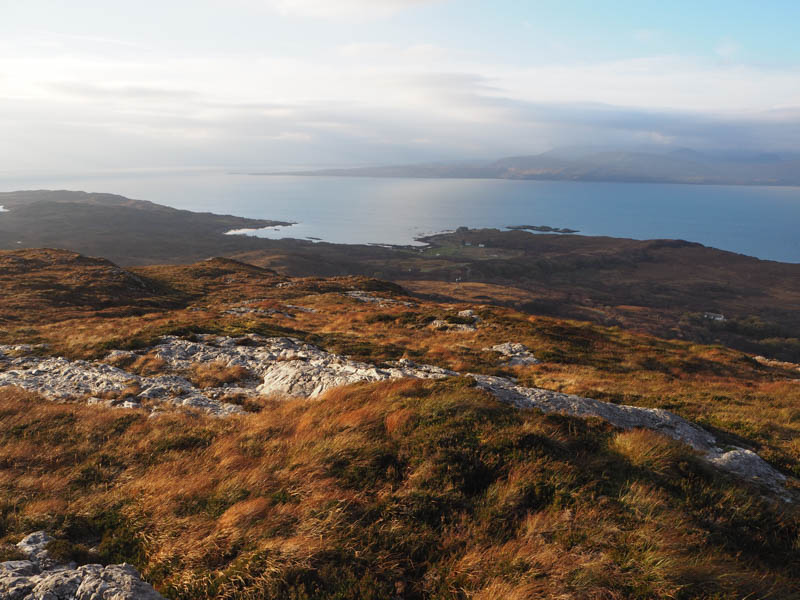
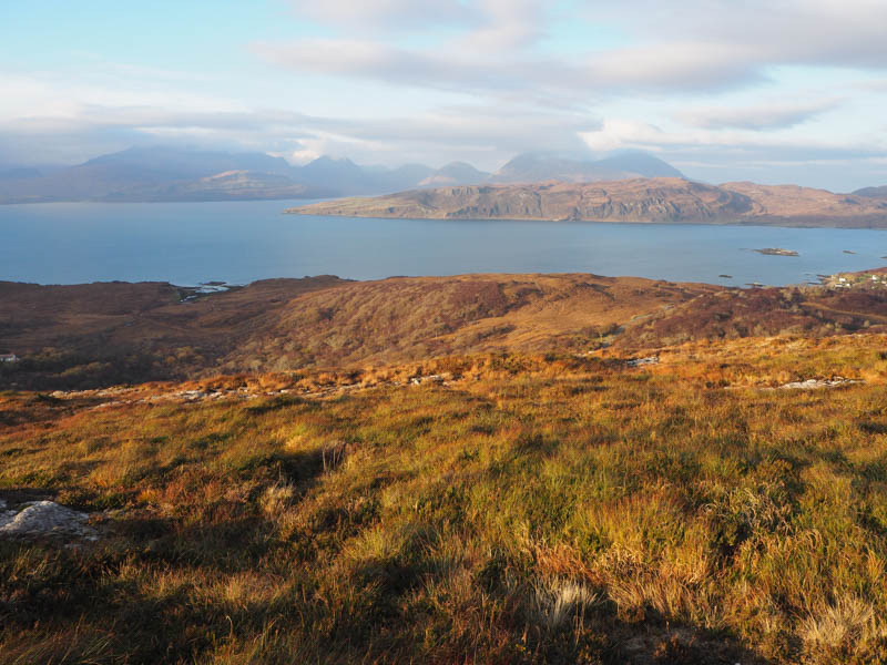
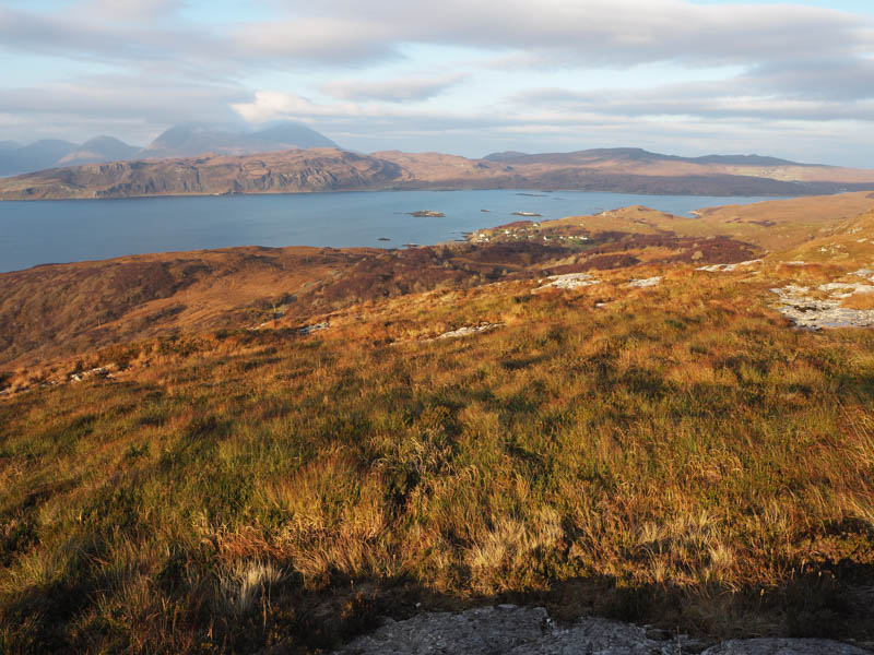
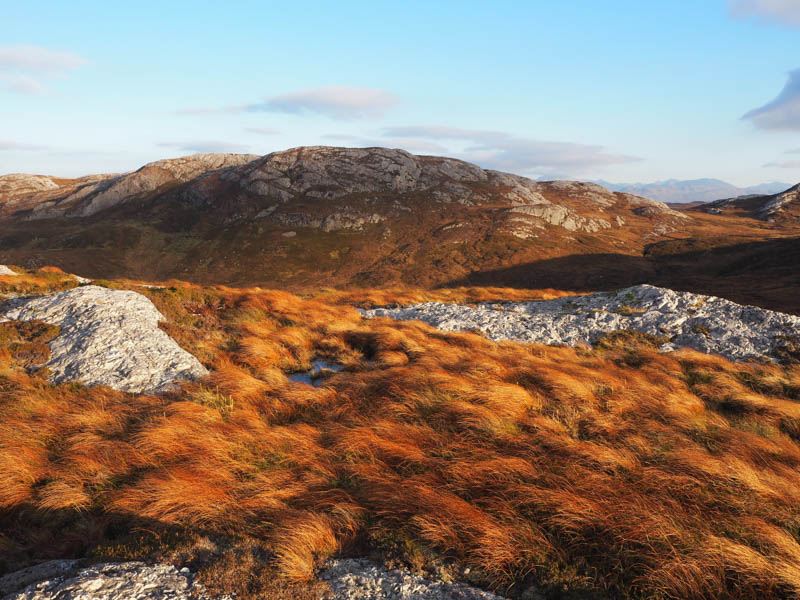
The descent south-east then east took me across more rough vegetation, a stock fence and a small stream before working my way through the crags on grassy rakes and onto the summit of Sgiath-bheinn Chrosabhaig. There was a choice of high points both consisting of some loose boulders.
I returned through the crags then headed north across heather later re-crossing the stock fence and stream, keeping above it as it passed through a gully. On reaching a fence I crossed a high gate, and this took me into a birch woodland. Here it was tough going due to the closeness of the trees and the underfoot conditions but eventually I reached the public road east of where I had left my car.
- Time taken – 2 hours.
- Distance – 4.5 kilometres.
- Height climbed – 275 meters.