The plan was to climb the Graham, Meith Bheinn and the Sub 2K Marilyn, Druim a’ Chuirn, with a possibility of including the Graham, An Stac, from the A830 Glenfinnan to Lochailort Road.
It was around 5.30am when I parked in the lay-by west of the house Craiglea, a naturist retreat. Once geared up I walked east along the road to the Allt na Criche where there were extensive workings in connection with the construction of a new culvert beside the rail line. It was a bit of a squeeze to pass between the barriers and the stream before going under the rail line.
Beyond, the path, a Right of Way to Meoble, was followed through the long bracken initially along the edge of a rope marking the boundary of the rail works.
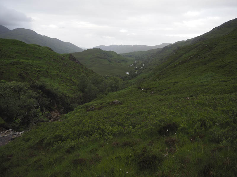
The bracken concealed holes in the path which turned out to be in poor condition, rough with wet and boggy sections as it headed up the west side of the Allt na Criche. Higher up there was a swampy area where I lost the line of the path.
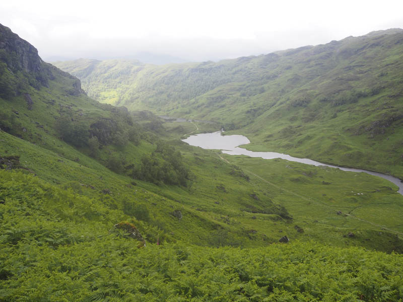
On reaching the bealach I followed deer tracks to the Allt a’Chuirn Mhoir and once across it I descended towards the dam above Lochan Lon a’ Ghairt using at times deer tracks as I worked my way through bracken and rough vegetation. The path shown on the map doesn’t exist.
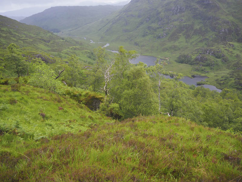
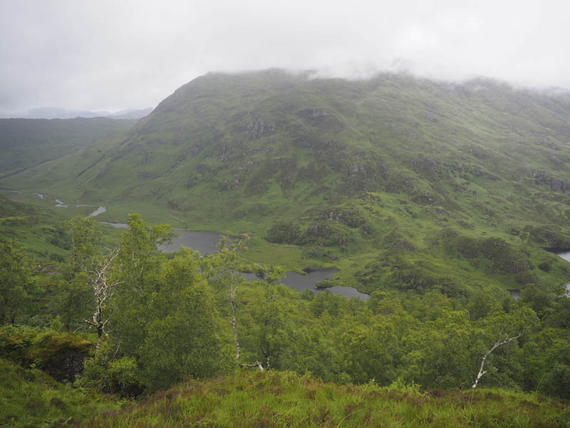
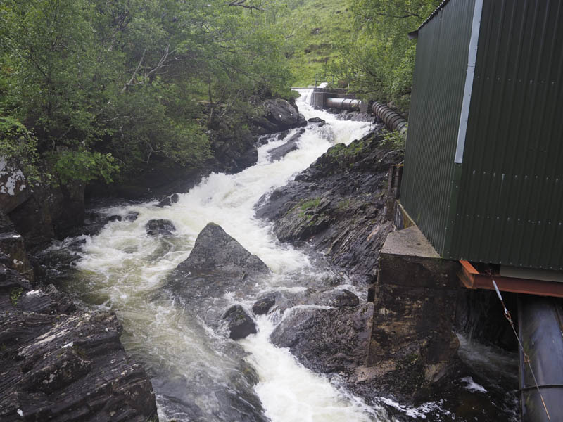
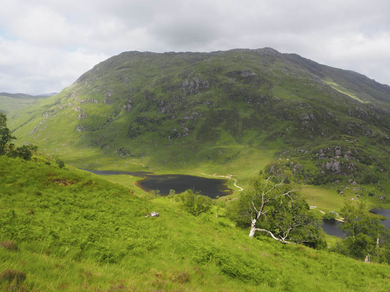
Eventually I arrived at the crossing point of the outflow from Loch Beoraid. A narrow gully was crossed via three wooden sleepers, the middle one was wobbly, then the bridge beside the mini hydro station which led to the vehicle track along the east side of Lochan Lon a’ Ghairt and the River Meoble.
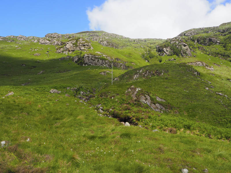
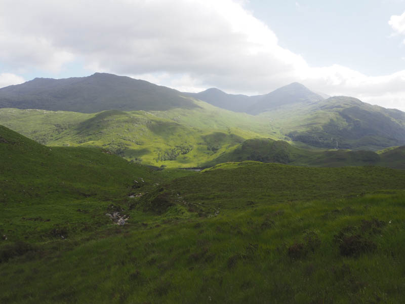
I later left this vehicle track and commenced the ascent of Meith Bheinn. It was steep and pathless crossing the Allt na Cloiche Moire and another gully as I avoided the numerous crags.
It was windy with some squally showers then I entered the low cloud. The gradient eased as I worked my way round the numerous rocky knolls to reach the Graham Top, Meith Bheinn West Top, where an outcrop marked its highest point.
The continuation north-east round more crags in poor visibility led to the summit of Meith Bheinn. A rock between the cairn and trig point was apparently the highest point of this Graham.
My next target was Meith Bheinn East Top, a short but rocky route involving several undulations to reach the outcrop marking the summit of this Sub Simm.
I then descended north-east. It was quite tricky in the low cloud trying to locate the best route to avoid the crags and wet rocks although it wasn’t always possible to miss out the latter. Lower down I emerged from the cloud and continued my descent, easier now that I could plan the route ahead. On reaching the Abhainn Taodhail I followed it east but was considering whether to include An Stac which was still three kilometres away with more loss of height. In the end I decided against going to An Stac, which I will now climb from Glen Pean, as it was more practical to include the Marilyn, Druim a’ Chuirn, on this trip.
After making this decision I returned west before gradually climbing north-west on a relatively easy gradient back into the cloud and onto the summit of Druim a’ Chuirn, marked by a cairn.
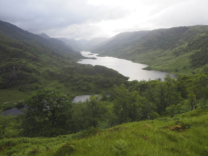
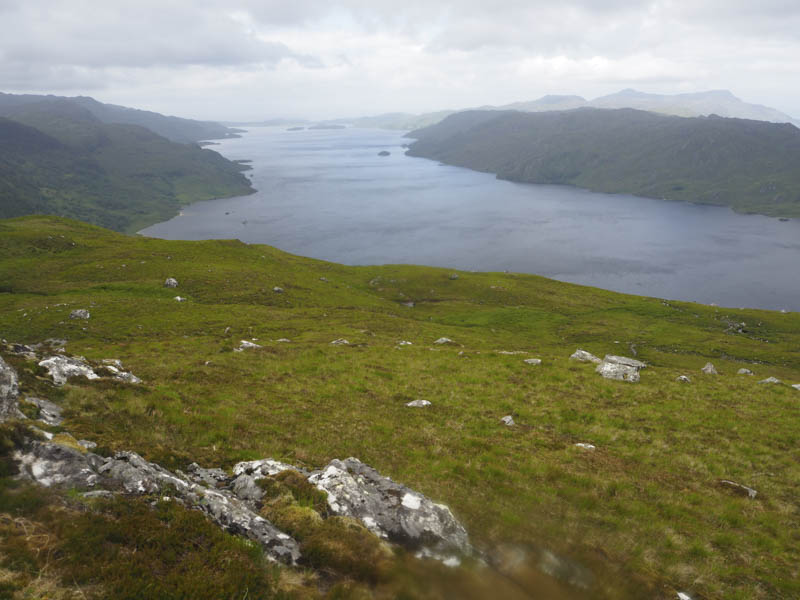
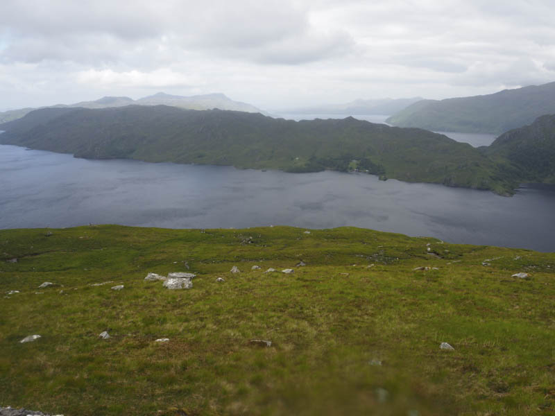
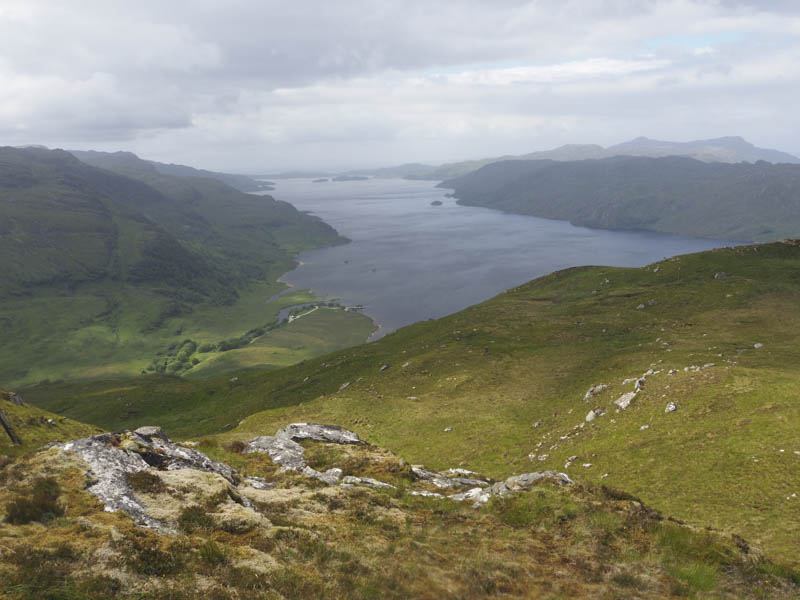
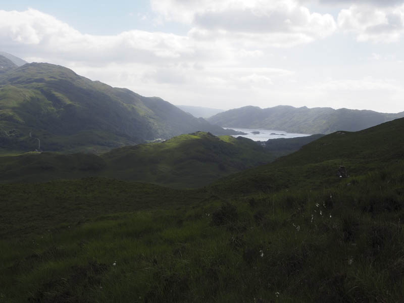
The descent route west was through numerous rocks and crags as the cloud began to lift. I had views again which now included down Loch Morar.
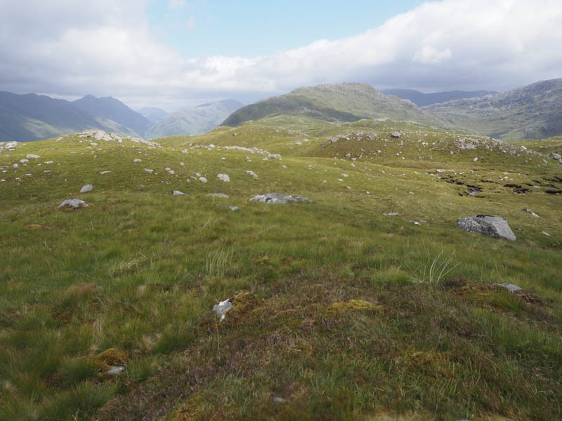
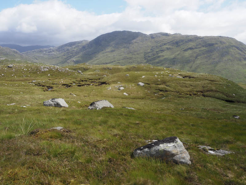
With brighter skies I planned to include the Tump, Aird Ghlas, which was some three kilometres west of Druim a’ Chuirn. It was a long gradual descent then I climbed and visited several knolls including one with a cairn which appeared to be the highest point of Aird Ghlas.
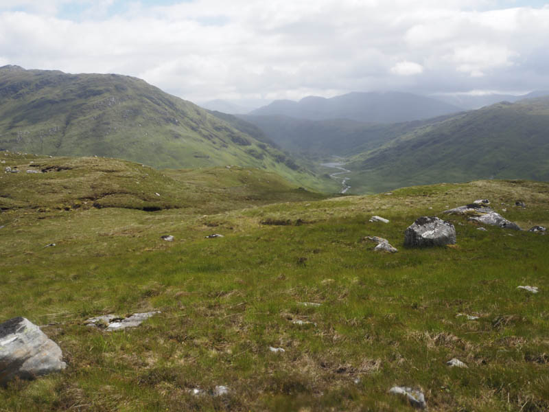
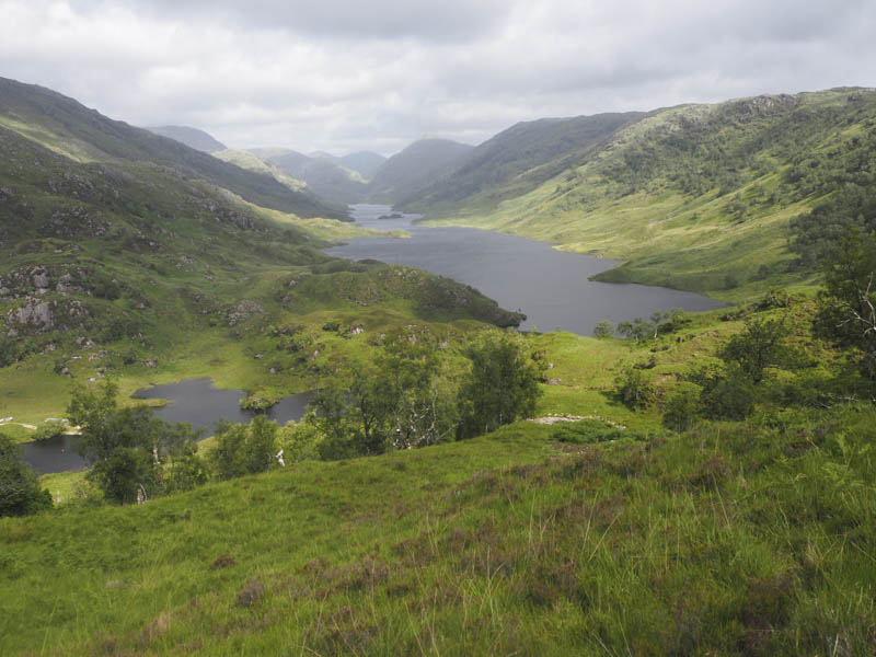
It was now time to head back to my car which was a long way off. I descended south through mainly rough vegetation, avoiding knolls, to reach the path on the north side of the Allt Slaite Coire. This path was in poor condition and low down it was wet and boggy and awkward to negotiate to gain the vehicle track on the south side of the buildings at Meoble. The track was followed south, passed the point I had left it earlier in the day, to reach the bridges over the outflow from Loch Beoraid.
On the ascent towards the bealach I did find some deer tracks but lost them in the long bracken and actually climbed slightly higher than was required before crossing over to the so called path on the west side of the Allt na Criche to return to my car 12 hours after setting out.
- Time taken – 12 hours.
- Distance – 24.5 kilometres.
- Height climbed – 1615 metres.