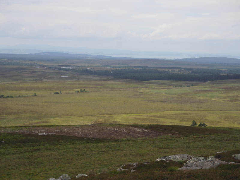
Brae of Lethen – This Tump, located south-east of the town of Nairn and east of the A939 Nairn to Grantown on Spey Road, would be the easiest hill of the day and probably for the past several months. I parked beside a stock gate on the west side of the minor road just north of the access track to Braeside Farm. I then crossed this gate and walked a short distance along the edge of the field which appeared to contain neeps, although they were in the earlier stages of growth, to the highest point on Brae of Lethen. This appeared to be within the field and just outwith the south-west corner of the garden of a detached dwelling.
Within five minutes I was back at my car as the farmer arrived to access the field. I was surprised he didn’t enquire why I had been on the other side of the gate.
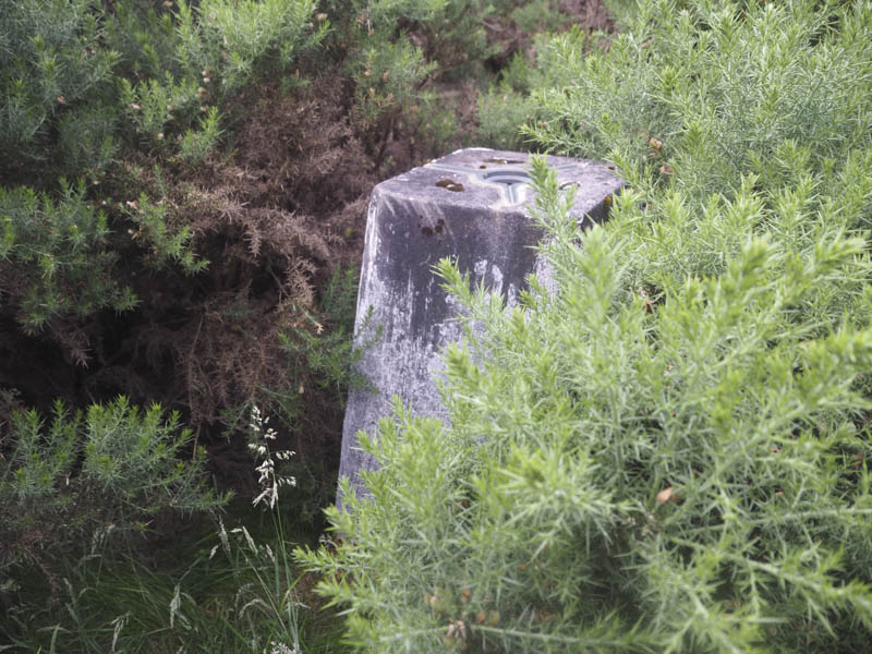
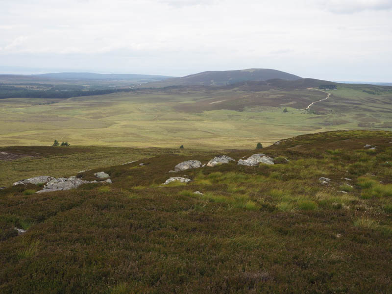
Lethen Bar – This Hump was a bit further south-east and the route I took involved driving through a ford but the water was low. I parked to the south-east of this hill at the start of the forest track at NH963492. A gate had recently been installed and a short section of track had been upgraded probably in preparation of forest workings. Then a grassy track, which had been trimmed with the cuttings concealing hollows, was followed through the wood to some gorse bushes. Once round them it was through well spaced trees to the summit area which was surrounded by gorse bushes. From the hill bagging web site, www.hill-bagging.co.uk I had noted a route through the gorse so once I found the access point a narrow gap was traced through the gorse to the trig point on Lethen Bar.
The return was by the upward route.
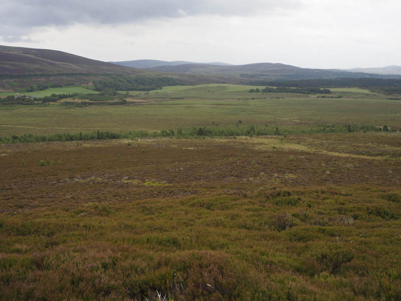
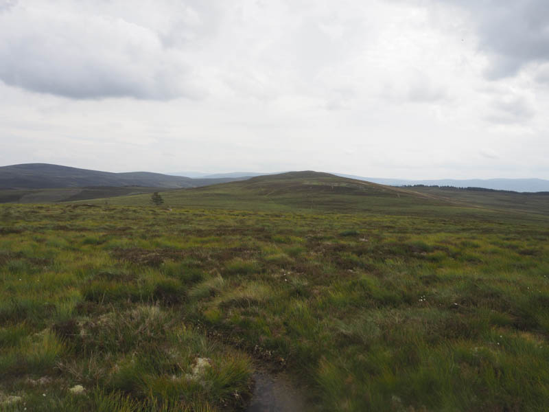
Cairn Duhie – This hill was to the north of Dava Moor and east of the A939 Nairn to Grantown on Spey Road. I parked at the east side of the road, NH971418, and walked through boggy, tussocky ground which was fortunately reasonable dry. I found a few deer tracks which made for easier progress. A cairn marked the summit of the Tump, Cairn Duhie, but a boulder appeared the highest point.
I returned by the ascent route.
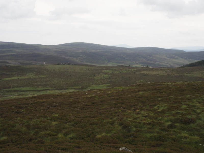
Carn Bad na Caorach – This hill was also located east of the A939 Nairn to Grantown on Spey Road but south-east of Dava Moor. I left my car in a lay-by at NJ011350 and walked east through soft mossy ground and heather, hard going, to reach the old railway line that ran between Grantown on Spey and Forres, now part of the Dava Way.
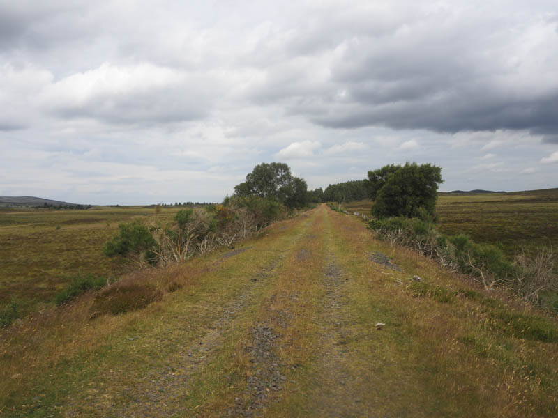
I walked north along this straight section of the route to a vehicle track at NJ012358.
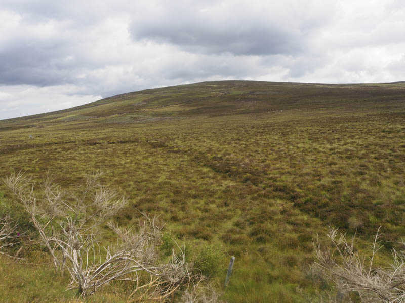
This track headed east and below Carn na Glaisneach and later came to an end. I then walked through heather, some of which had been cut, as well as rough vegetation before climbing to the summit of the Tump, Carn Bad na Caorach, where there was a large cairn. There were a few outcrops which could have been the same height or even higher but I couldn’t tell.
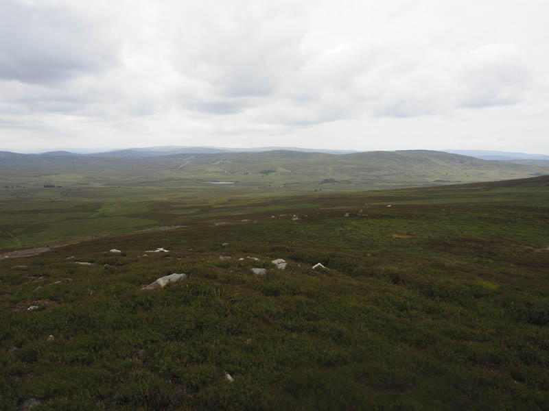
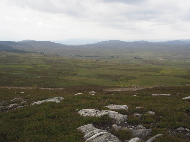
I descended north-east where the walking was easier as there were traces of a path and some more cut heather. I then ascended Carn na Glaisneach, visiting a few highpoints and a cairn.
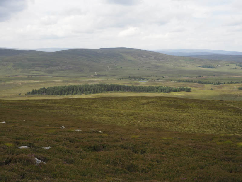
An ATV track then led back to the vehicle track on the west face of Carn na Glaisneach then I headed back to my car via the upward route.
- Total time taken 3.25 hours.
- Total distance – 10 kilometres.
- Total height climbed – 260 metres.