Lindores Hill – Thick mist greeted my arrival in Fife so looking for a starting point for some of my planned hills wasn’t going to be easy. I knew where to begin Lindores Hill from, so drove west on the A913 Cupar to Newburgh Road to beyond the hamlet of Lindores. Here I left the main road and continued north towards the farm Braeside of Lindores, parking at the edge of a ploughed field, there were no fences, at an obvious left hand bend.
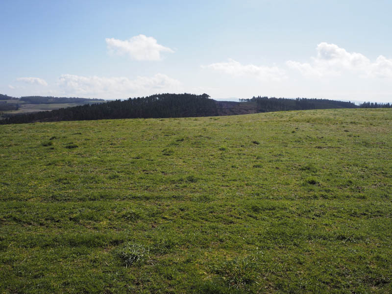
As the mist began to clear I walked north up a concrete track, passed a few houses, then went through a stock gate onto a vehicle track. I soon left it and walked up the edge of a mixed wood and briefly entered it to discover this was unnecessary. On returning to the grassy field I re-joined the vehicle track at another stock gate then it was a short stroll to the summit of the Tump, Lindores Hill, which was just some grass in a field. I then followed the vehicle and farm tracks back to my car.
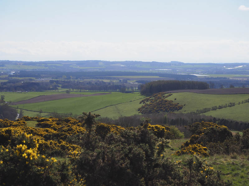
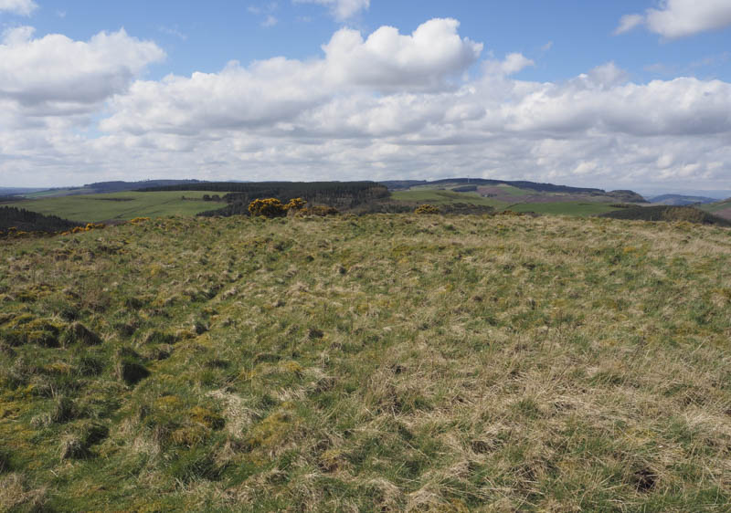
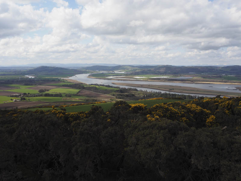
Black Hill, Woodheads Hill and Cowden Hill – I made the short drive to Grange of Lindores, located to the south of the A913 Cupar to Newburgh Road and east of the B936, parking beside the village hall. I walked through the village then some farm buildings onto a vehicle track heading south-west. Higher up I left this track, passed through a couple of gates and grassy fields, following the track for the coms tower. To the south-east of the tower there was a ‘Viewpoint’ sign.
I crossed a gate and an undulating grassy field to reach the edge of a forest. Once over a barbed wire fence I pushed my way between gorse bushes and into the trees which had been thinned. I then wandered through the wood to what appeared to be the summit of the Hump, Black Hill, not obvious but was amongst some trees.
It wasn’t planned but I decided to add on Woodheads Hill to this walk so I continued through the trees to a barbed wire fence.
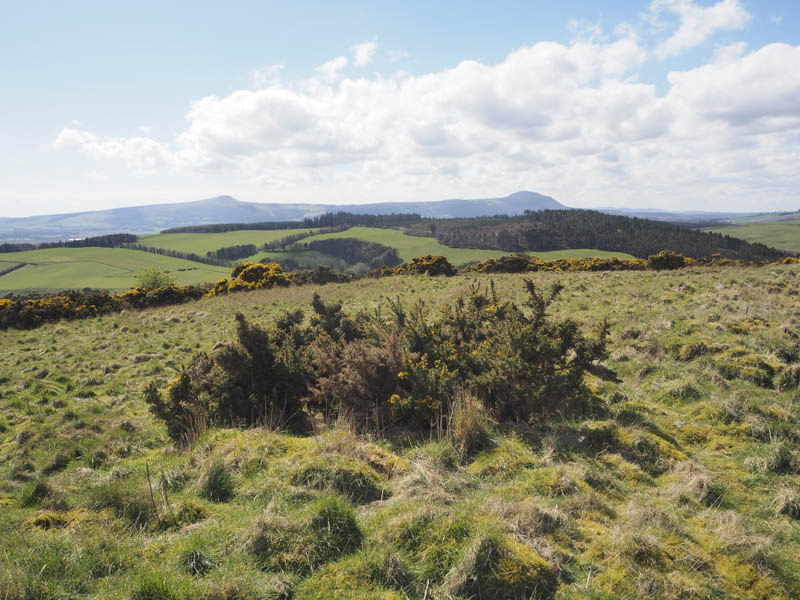
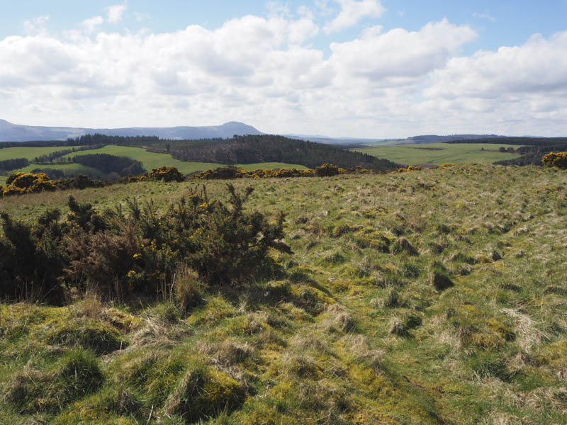
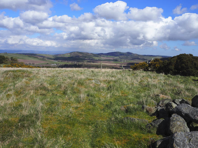
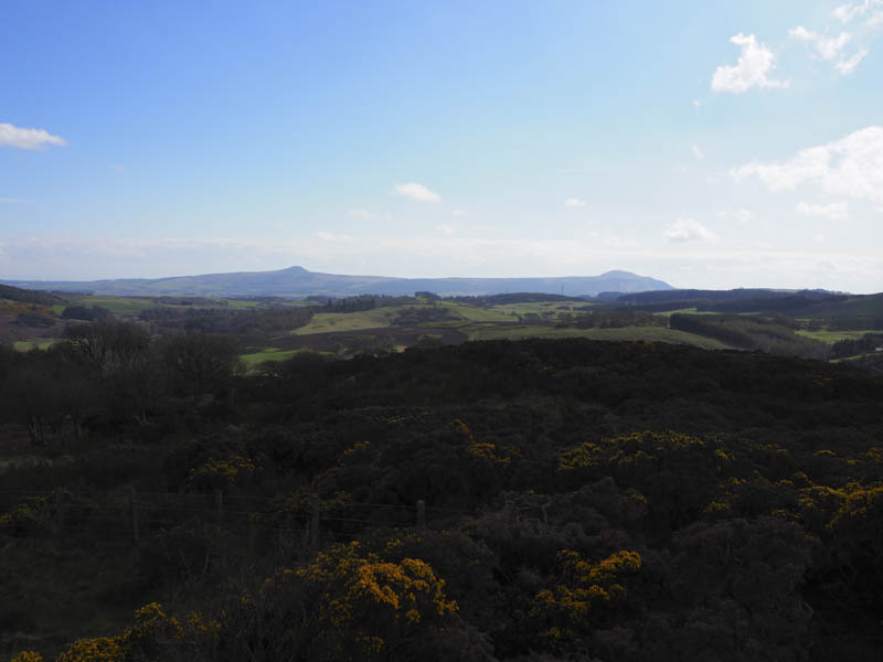
Once over it I descended south-east across a grassy field; a more direct route would have involved crossing a ploughed field, to another barbed wire fence and onto a vehicle track. This track was briefly followed north-east before leaving it and walking through long dead bracken, gorse and broom bushes to the trig point. The highest point of this Tump, was ground to the west.
I returned through the rough vegetation, which included a few fallen trees, to the vehicle track which was followed north to the minor road north of Woodhead Farm. I looked to see whether it was possible to make a direct ascent of Cowden Hill but the ground to the south of the loch appeared waterlogged. I could have tried a route through Woodhead Farm but opted against that idea.
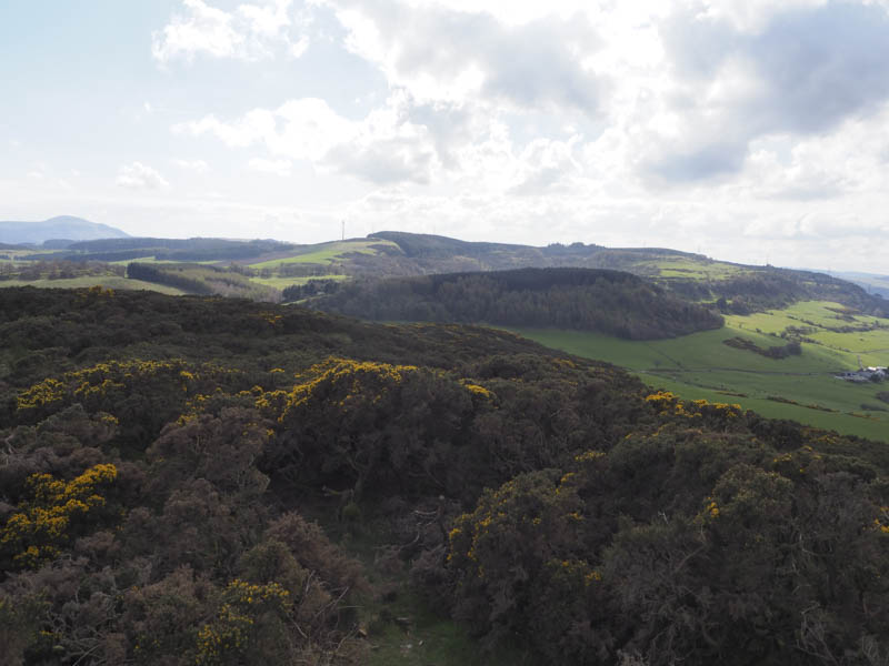
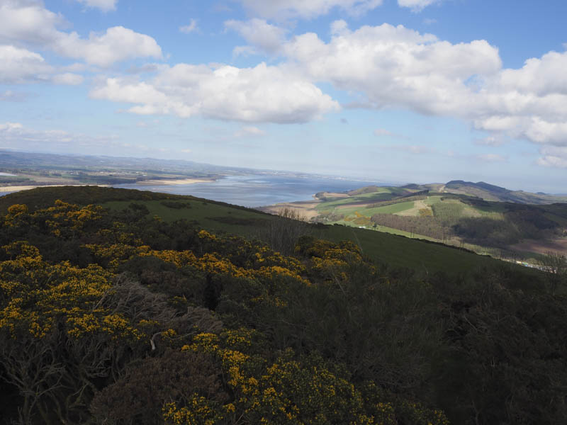
Instead I walked north along the minor road to Berryhill Farm and its fishing loch. The area was a bit of a mess with junk and signs indicating only fishers were allowed to access the loch side. Anyway I walked round the north and east sides of the loch, passed more junk, and crossed a barbed wire fence. It was then a steady climb through several grassy fields, avoiding the gorse bushes, into some well spaced trees. Beyond I went over another barbed wire fence then through gorse bushes to the cairn marking the summit of the Hump, Cowden Hill.
I headed back to the minor road at Berryhill Farm and followed it to my car at Grange of Lindores.
Lumbennie Hill – My next hill was to the south-west of Newburgh. I parked at the highpoint on the minor road to the south of Lochmill Farm, space for a single vehicle, and walked west along a path to below the pylon lines. Here another path with a couple of boggy sections ran below the pylons and to the trig point marking the summit of the Hump, Lumbennie Hill.
I then retraced my route.
Ormiston Hill (Black Cairn Hill) – After Lumbennie Hill I drove north along the minor road to just beyond the T junction north of Ninewells Farm, parking at the west side of the road. I crossed the road went through a stock gate and over three grassy fields to reach the west side of Ormiston Hill.
The hillside was covered in gorse bushes with no obvious route through them, so I walked north then east passing through a small gate adjoining an electric fence. Beyond, I spotted a narrow path, so crossed a barbed wire fence, and followed this path as it wound its way through the gorse bushes to the cairn marking the summit of the Hump, Ormiston Hill. Oddly there was a golf club, 5 iron, protruding from the cairn.
The return was by the ascent route.
- Total time taken – 5.75 hours.
- Total distance – 15.5 kilometres.
- Total height climbed – 660 metres.