I was in Glen Moriston to climb some of the hills in and around the Bhlaraidh Wind Farm. I left my car on the south verge of the A887 Invermoriston to Bun Loyne Road just west of the Allt Bhlaraidh and walked east to the road giving access to the hamlet of Bhlaraidh. This tarred road took me passed the houses there and to a locked gate which I was able to walk round, although there was a stile at the other end of the gate. It was then a steady climb on a vehicle track through a mainly birch woodland before joining the access track for the Bhlaraidh Wind Farm at NH37761717. The start of the wind farm track was on the A887 east of Bhlaraidh.
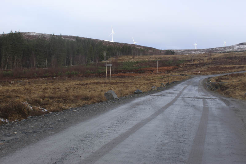
It was a steady climb through open ground as the trees had been harvested although in areas new ones had been planted. I was overtaken by a couple of vehicles going in opposite directions, the only folks I saw on this outing. There were height signs at the side of the track at 200, 300 and 400 metres which appeared to be fairly accurate.
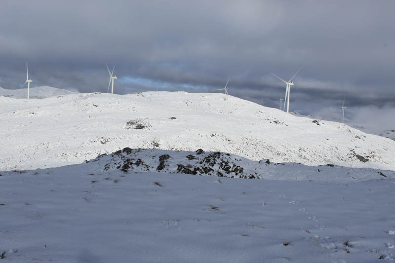
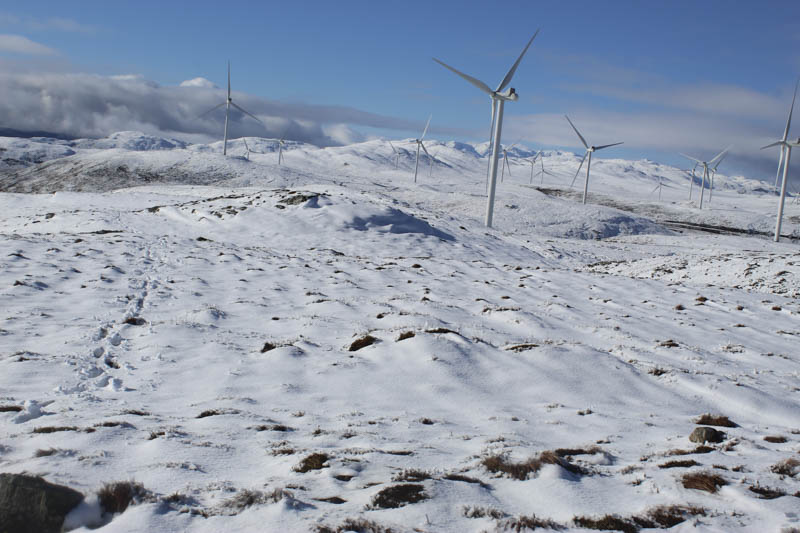
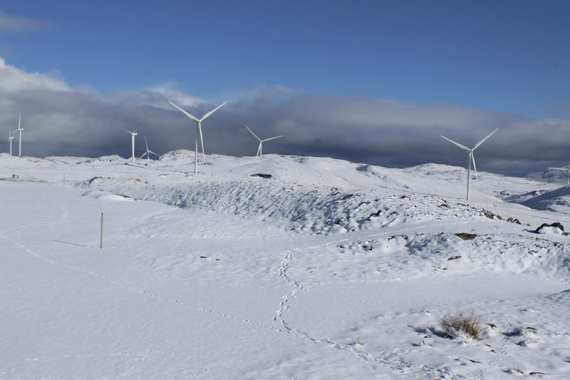
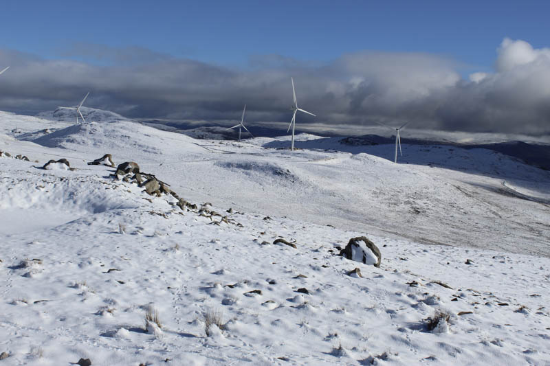
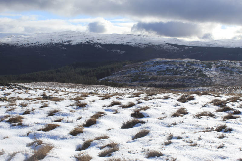
Above the 400 metre mark there was lying snow with the track initially clear of snow having been used by vehicles. At the track junction north of the 400 metre board I took a right heading east then north-east and continued in this direction at the next track junction. At this point low cloud impaired visibility. On reaching a wind turbine I left the track and made the short climb east through ankle deep snow to the summit of the Sub Dodd, Carn an Ruighe Dhuibh East Top. The highest point was difficult to determine.
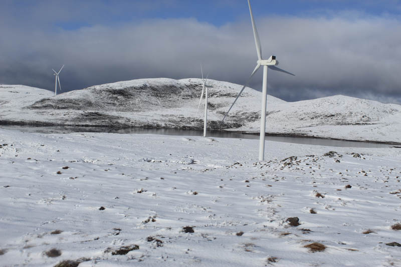
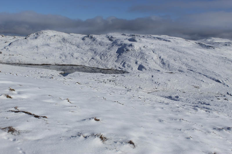
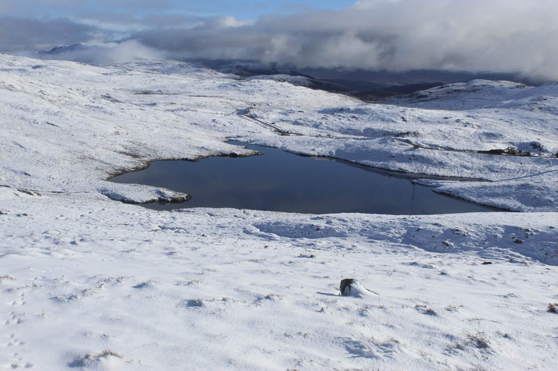
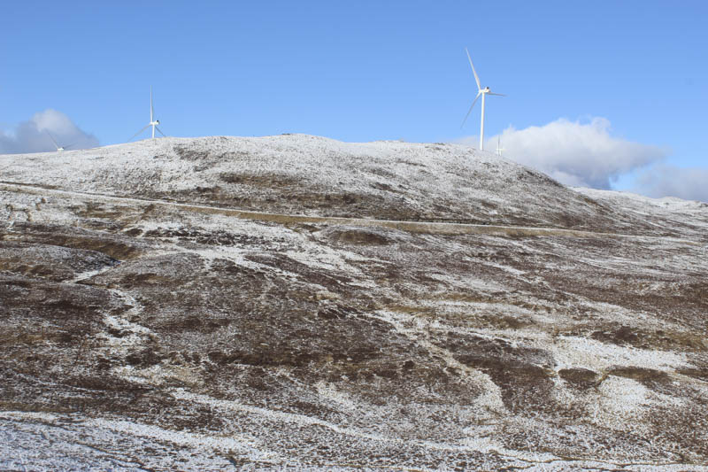
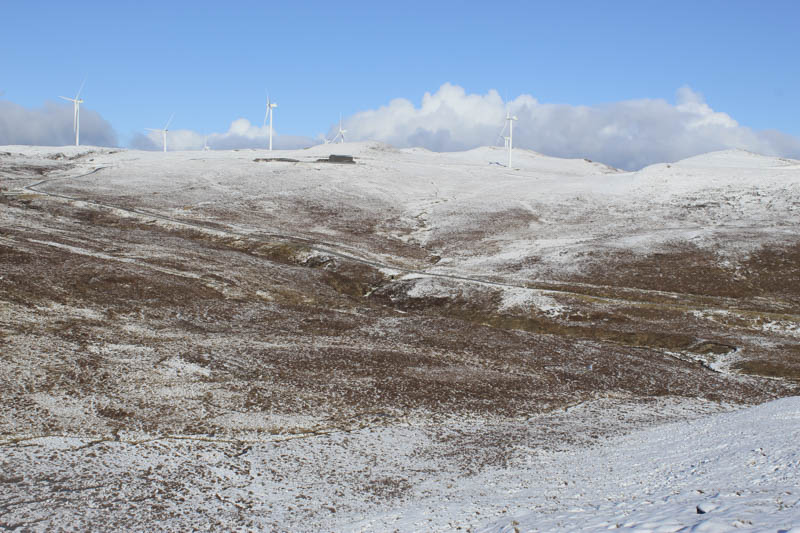
I then headed off in a north-easterly direction through the snow covered heather to work my way round a lochan then discovered that the wind farm track I had just left no longer ended at the turbine and was in the process of being extended east-north-east. It being a Saturday there was no work in progress so I rejoined the track, and descended to a stream where a bridge was under construction. After gaining a bit of height I left the track and climbed south to the summit of the Sub Dodd, Carn Tarsuinn Beag, which appeared to be a heather and moss covered mound covered in snow. (According to Google planning has been granted for an additional 15 turbines)
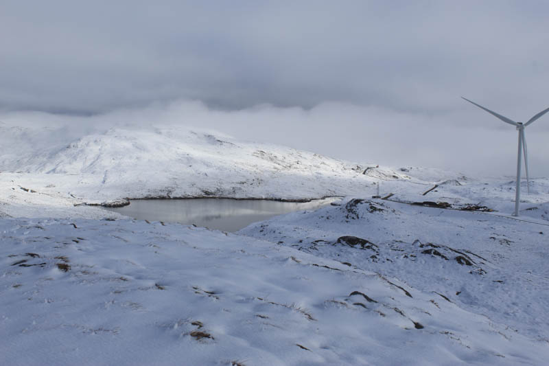
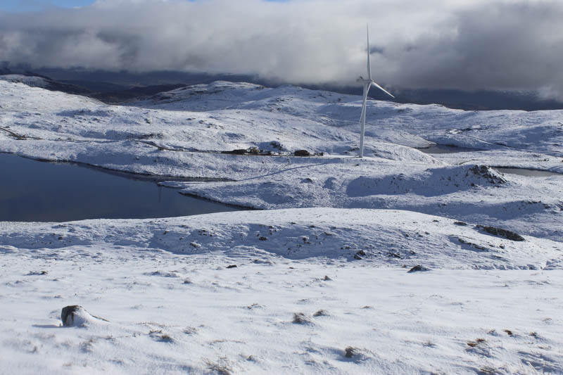
I returned to and along the track under construction to reach a comms tower above Loch Righ Guidhe. Here I left the track and descended towards the south side of the loch before climbing to the summit of the Sub Dodd, Carn an Ruighe Dhuibh, marked by some snow covered heather.
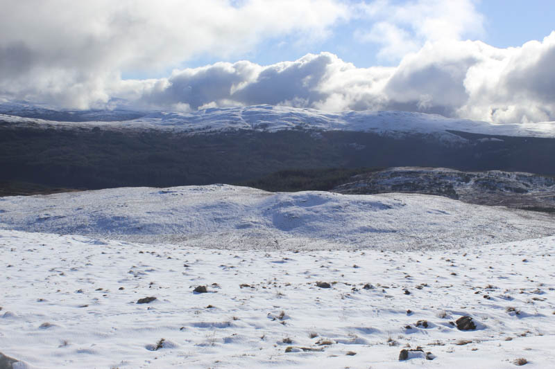
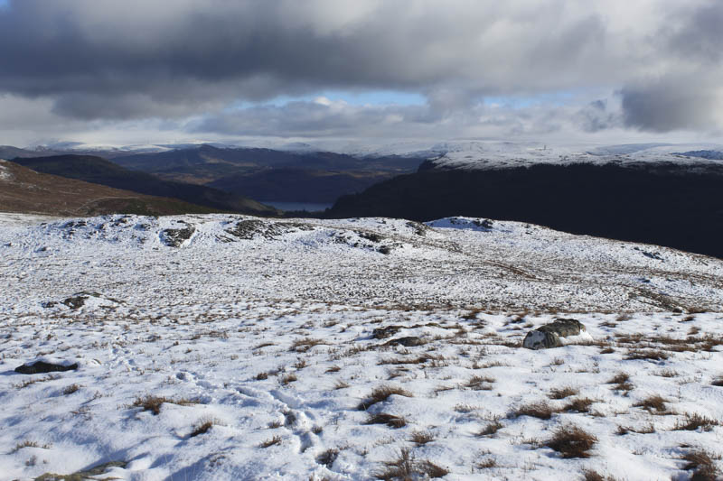
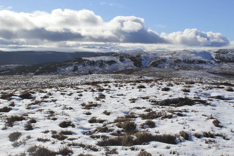
It was then a short descent west-south-west and as the low cloud lifted I climbed Carn a’ Mheallain Odhair with views of the adjacent snow capped hills and the mountains out west. The highest point of this Tump, was either the cairn or a concrete pillar.
After a short descent north-west, avoiding the steep north face, I ascended north through the snow, easy enough going, onto the Tump, Carn Loch a’ Bhothain, the highest point marked by a cairn.
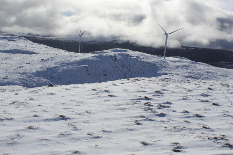
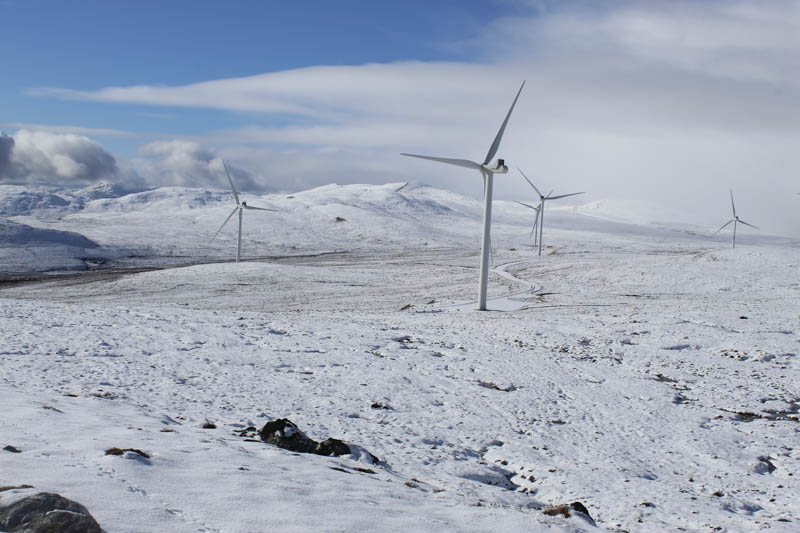
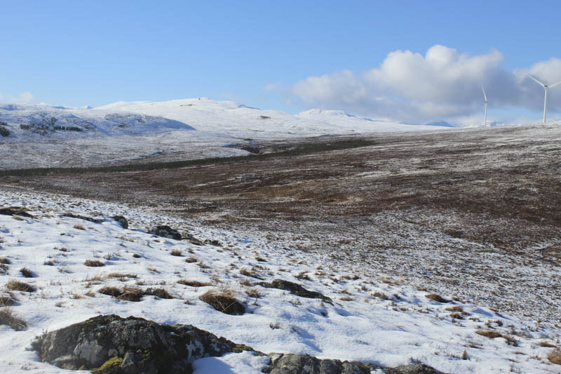
Thereafter I briefly returned along my marks in the snow before swinging south-west to a wind turbine then followed vehicle tracks round a set of buildings to the Allt Loch a’ Chrathaich. It was flowing a bit fast so rather than a direct ascent of Meall nan Aighean I descended south on another track to a junction where I went right, crossed a substantial bridge then left the track to make my ascent. It was a fairly steep climb through the snow covered vegetation onto the summit of this Tump, which was marked by a large boulder. The adjacent ground to the north had been flattened for a wind turbine so this installation may have moved Meall nan Aighean’s highest point.
After a lunch stop I descended south-south-east crossing a wind farm track then across some flatter ground which was a bit wet as the heat from the sun was melting the snow. I then climbed a small gully and onto the summit of the Tump, Carn an t-Seana-bhlair, marked by another concrete pillar.
A descent south appeared to be into a young plantation so I descended south-east then east to the edge of the forest before crossing the Allt Loch a’ Chrathaich, the water level here being lower as there was a small dam further north. I followed the stream south on an old track but it came to an end at a deer fence. Another more recent track took me along the side of the fence in a north-easterly direction, unfortunately gaining some height, before rejoining the main wind farm track at NH37581842. I then returned to the start by the upward route.
- Time taken – 6 hours 30 minutes.
- Distance – 16 kilometres.
- Height climbed – 815 metres.