I left my vehicle in the car park at the local hall located on the east side of the minor road a few hundred metres north of the A923 Blairgowrie to Dunkeld Road at Butterstone then walked north along the tarred road which soon became private. It was a steady climb with visibility between 100 and 150 metres due to the low cloud so nothing to see. At a road junction, NO061477, I went right, crossed the bridge over the Buckny Water which was running fairly high after heavy overnight rain, then bypassed the house at Riechip.
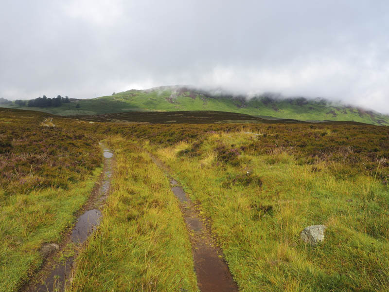
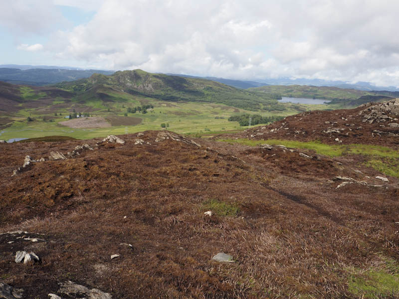
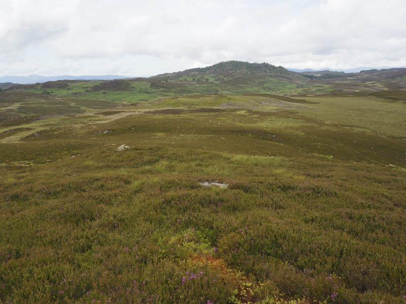
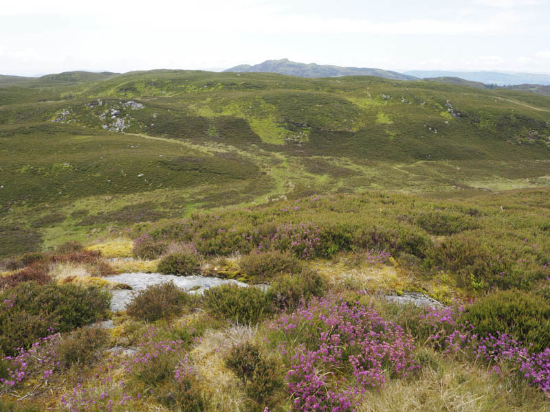
The road continued through fields of sheep, which appeared rather large in the mist, before passing Craigend, a cottage and outbuilding. Then there were some cattle which kept their distance although a few were rather nervous. At NO076485 I left the road and walked east along a rough vehicle track containing some running and pools of water. The highest point of the Tump, Craigend Hill, was a few metres to the north of the track and unmarked. At this point the low cloud began to break up and I now had some views.
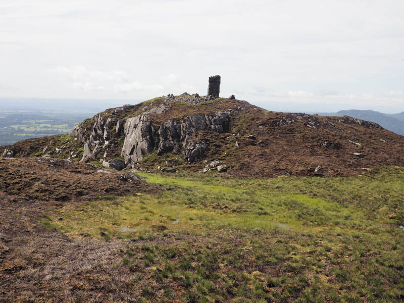
I returned to south of Craigend Cottage, passing the cattle again, then left the road and for several metres followed a grassy track to reach a stock fence. Once across it there were a few trees then wet long bracken, overgrown heather and a few boulders. On approaching the monument the heather had been burnt.
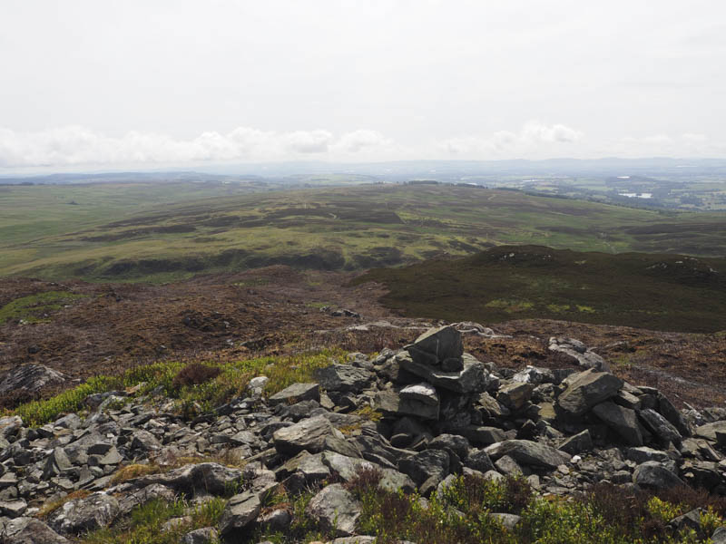
After visiting this structure I continued to the cairn marking the summit of the Hump, Benachally.
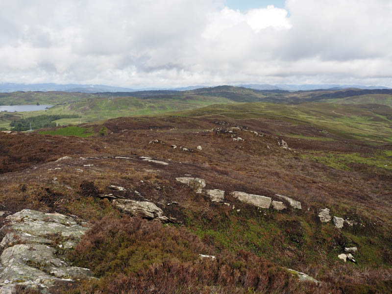
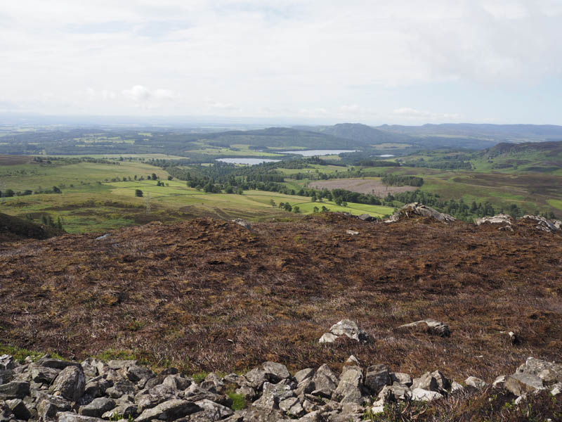
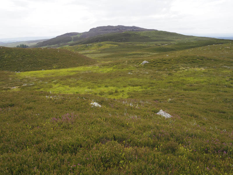
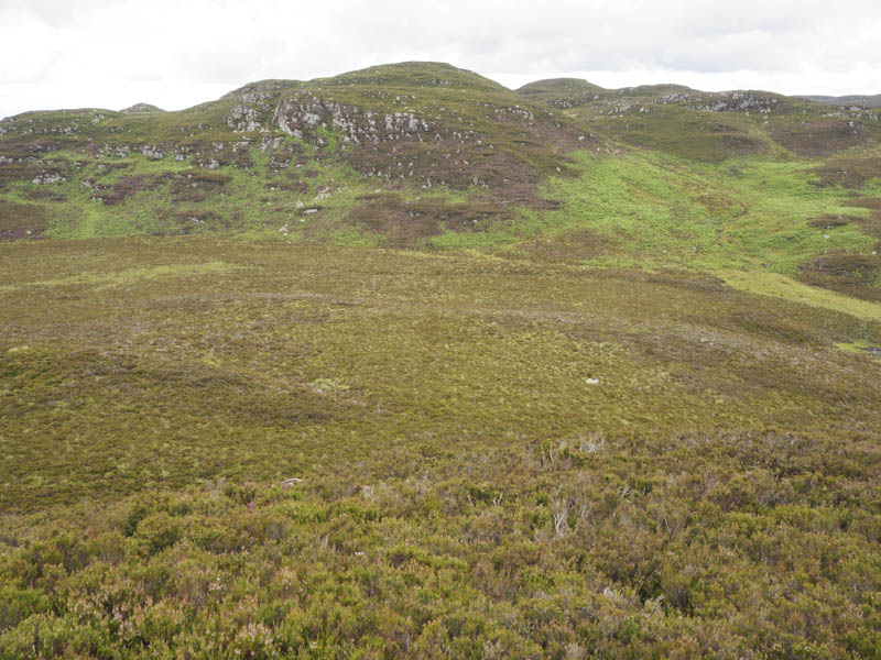
On leaving this hill I descended north-west. It was fairly rough and for a while more burnt vegetation which appeared to have been an out of control fire as fence posts were charred. Low down I crossed an estate track then more rough vegetation as I ascended Riemore Hill. The highest point of this Tump was a vegetated rock.
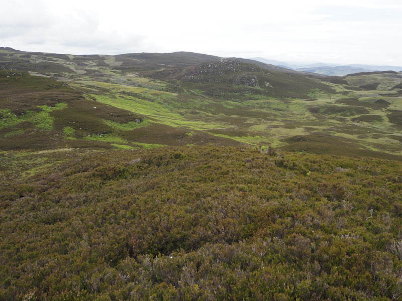
From there I descended north to some waterlogged ground and once round it I ascended Riemore Hill North Top, the summit of this Tump being a large boulder.
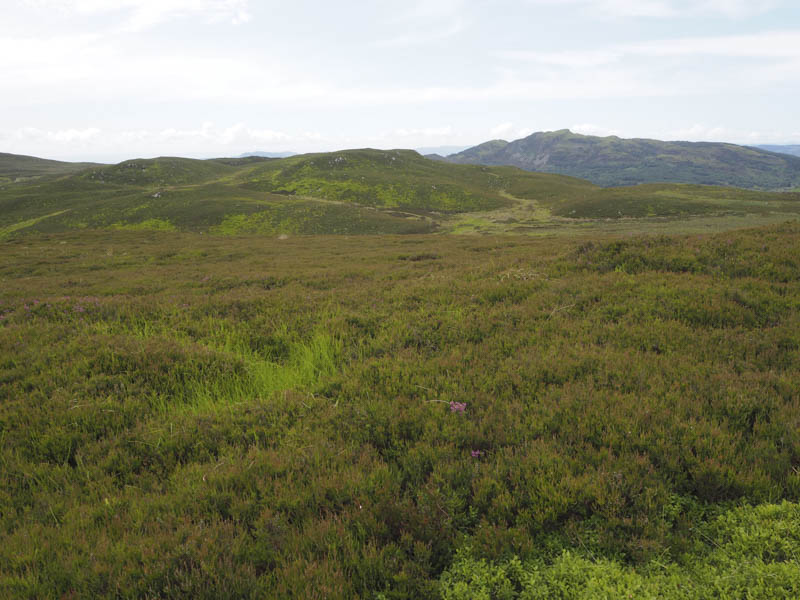
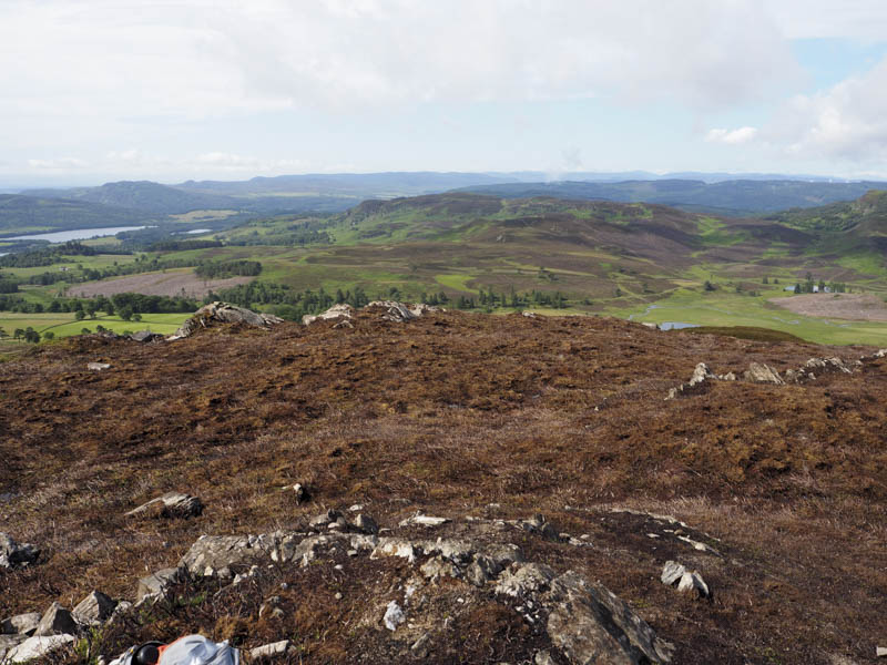
Continuing north I descended to some more wet ground, crossed it and an estate track before climbing to a rock marking the summit of the Tump, Riemore Hill Far North Top.
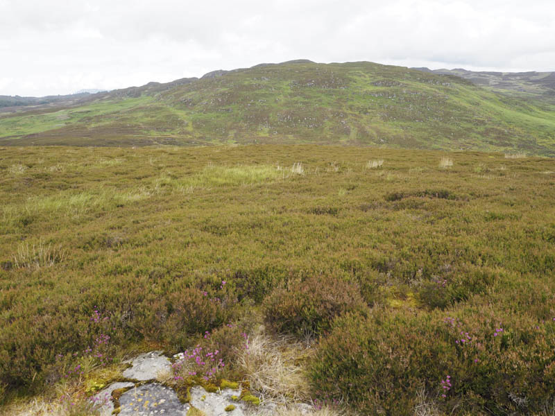
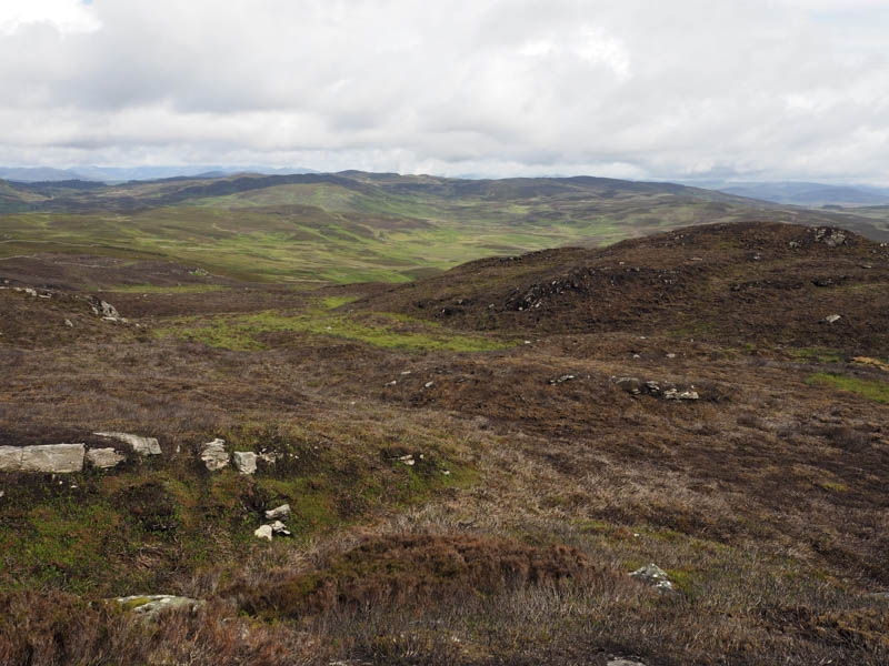
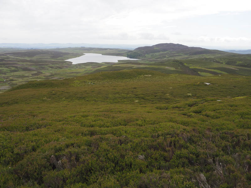
It had just turned midday so I decided to include another Tump before making the return journey. I descended north-west coming across a double electric fence which I was able to avoid after crossing an adjoining stock fence. It was then a fairly steep climb through heather, boulders and bracken onto the summit of Spurn Hill, marked by a rock.
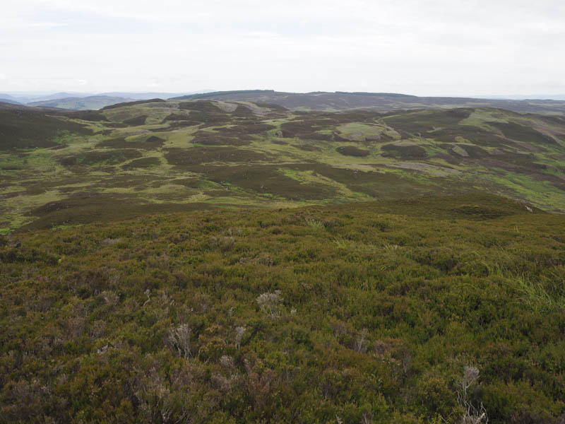
I returned to the electric fencing then worked my way through rough vegetation and some rocks to the east of Riemore Hill Far North Top joining the estate track crossed early but further east. The track descended east to the ruins of an old township and here I joined another estate track. I followed it south-west gradually gaining height as it passed below Riemore Hill and the point I crossed it earlier in the day. The track then descended to the property at Riemore then the road, later tarred, south, passed the junction to Riechip and to the car park at Butterstone Hall.
- Time taken – 7 hours.
- Distance – 20.75 kilometres.
- Height climbed – 800 metres.