I parked at the start of the vehicle track at NJ233252, on the minor road north of Allanreid, accessed from the B9008 Tomintoul to Dufftown Road, north of Tomnavoulin. I walked south-east then north-east up this track, also known as the Battle of Glenlivet Path, to a couple of gates. The larger gate was padlocked while the walker’s gate gave access to the forest where a large area had been felled and replanted.
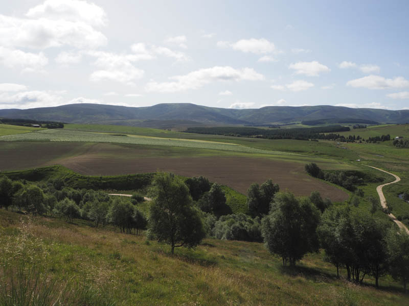
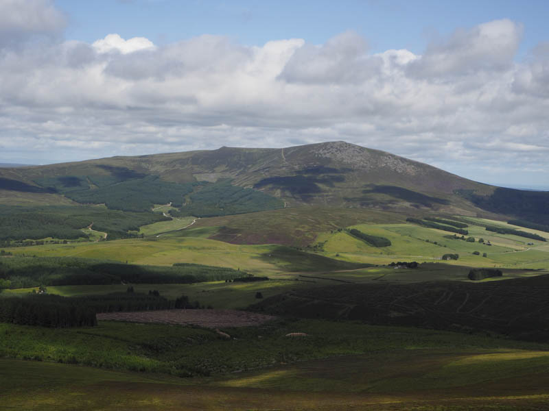
The forest track was in reasonable condition and led to another couple of gates and the mature trees. Once through this set of gates I left the forest track and walked up a rough stony track at the side of a new deer fence. On reaching the top end of this fence I continued north-west on peaty animal trails to a gap in an old stock fence with the gate lying nearby. I then headed north through heather and crossed a stock fence to reach the summit of the Tump, Cairn Muldonich, although its exact highpoint wasn’t obvious. There was a cairn at NJ241273 but it appeared lower.
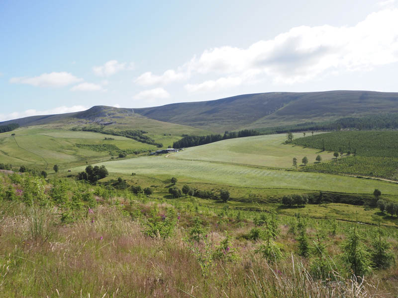
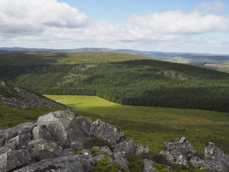
The descent east took me to the old stock fence and here I entered the forest. I then followed deer tracks through the trees, which weren’t dense, but lower down a large number of fallen ones blocked my progress. After a diversion north I re-joined the forest track before it descended north to the Allt a’ Choileachain.
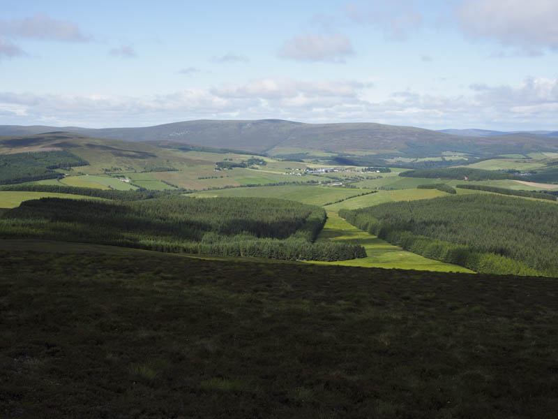
Once over this stream I made a brief attempt to cross a deer fence but it wasn’t very sturdy so I returned to the Allt a’ Choileachain, and with the water level low and a few boulders to assist me, I managed to crawl under the deer fence. The climb north then north-east was fairly steep through long heather but higher up the gradient eased and the vegetation was shorter. The summit of the Graham Top, Carn a’ Bhodaich, was reached, the highpoint apparently being some short heather. There was a row of cairns to the west but they were lower. It was rather windy here which kept the flies that had been bothering me on the ascent, away.
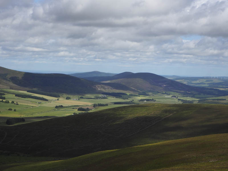
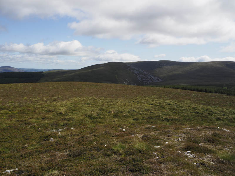
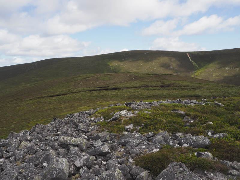
I descended steeply south, avoiding the majority of the boulders, to the Allt a’ Choileachain. Once on the other side I climbed through heather, occasionally following deer tracks, to reach the col north-east of Cairn Dregnie. Dried out peat hags were then crossed to reach the summit boulders on this Sub Simm but which one was the highest I couldn’t tell.
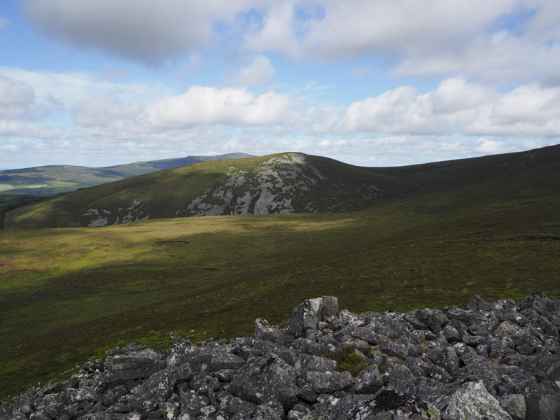
After a break here I descended south trying to stay clear of the boulder fields, which wasn’t always possible. I spotted by a large number of deer which disappeared into a forest. Later on this descent I crossed a deer fence then walked along the edge of a stock fence disturbing more deer although a couple of young ones couldn’t get over the stock fence and were left behind by their mothers.
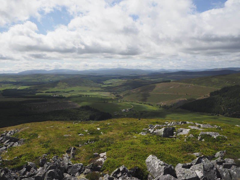
I joined a vehicle track and after crossing several tied down gates passed through Whitefolds Farm then followed the farm track to Allanreid and the short road walk back to my vehicle.
- Time taken – 4.5 hours.
- Distance 12 kilometres.
- Height climbed – 670 metres.