I left my vehicle in the car park at Invermoriston, on the A82 Inverness to Fort William Road, crossed the A82 then the A887 Skye Road and walked up the road behind the Glenmoriston Hotel. This narrow road, part of the Great Glen Way, wound its way steeply uphill and would eventually terminate at Auchnaconeran. It is possible to drive up this road but as stated it is narrow and there are few passing places.
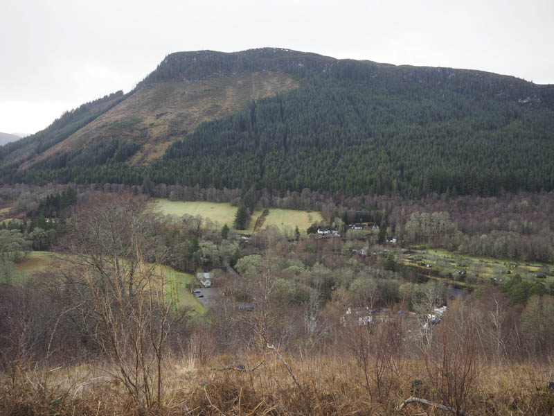
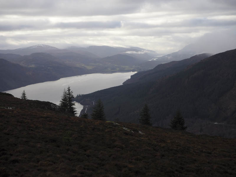
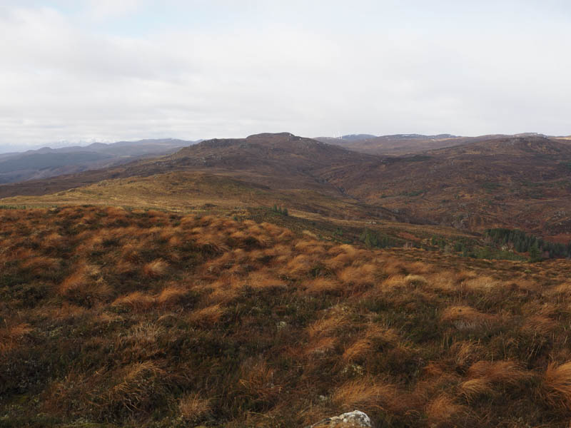
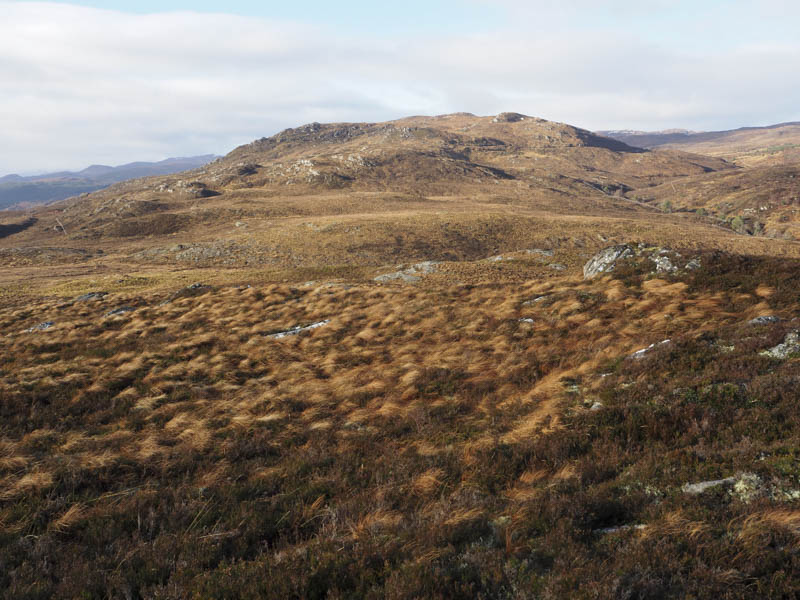
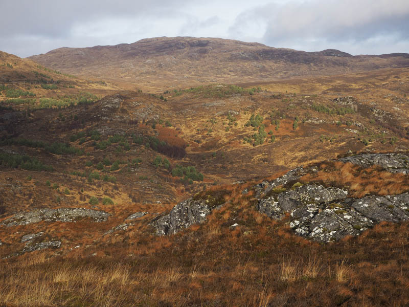
At the junction with forest tracks, NH420172, I left the road and headed east through an area where the trees had been harvested, still part of the Great Glen Way. I came across an indicator for the Great Glen High Route but continued east along the forest track. Beyond the Allt Coinneag and at a junction of tracks I went left and headed north, the Great Glen Way High Route later merging with this forest track which came to an end to be replaced by a path. I soon left this path and worked by way east then south-east through heather, young trees and brash, avoiding the outcrops. The gradient steepened before reaching the summit of the Hump, Creag nan Eun, marked by a small cairn on top of a rock. Despite patches of cloud floating around there were some good views.
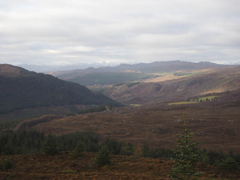
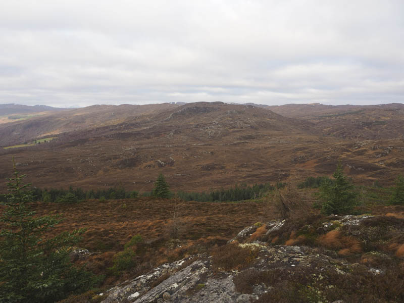
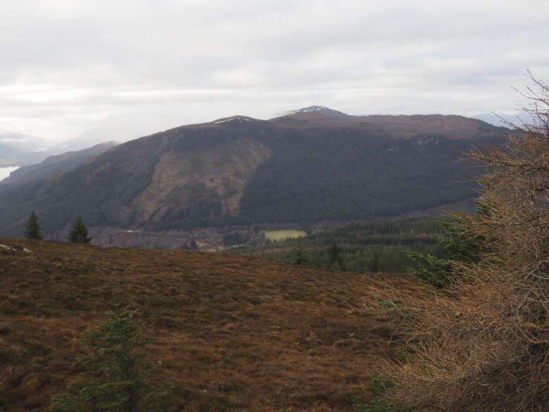
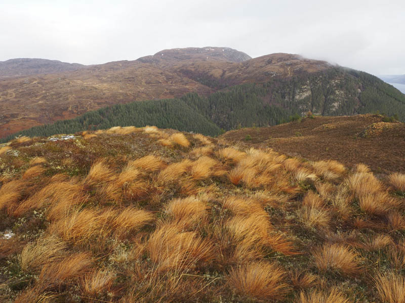
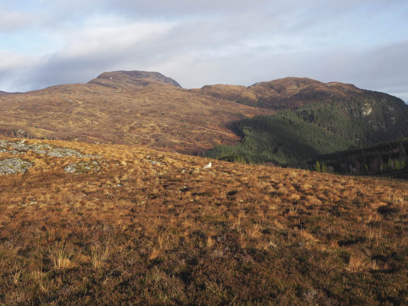
I sat here for a while in calm conditions, contrary to the forecast, before heading off along the NNE ridge in very mixed underfoot conditions which included soft ground, heather, a few rocks and pushing my way through some trees. After the col with Meall na Sroine it was a steep climb but the gradient soon eased and walking became easier. An outcrop marked the highest point of the Tump, Meall na Sroine, where again there were some fine views.
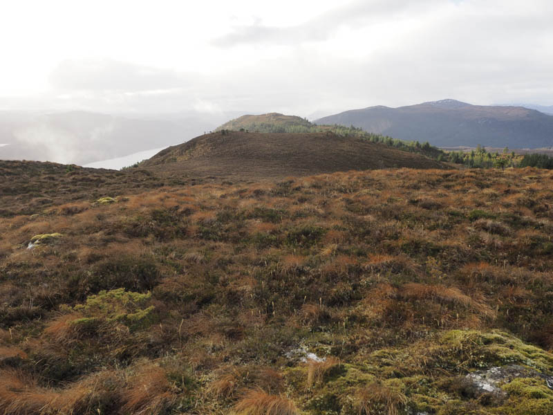
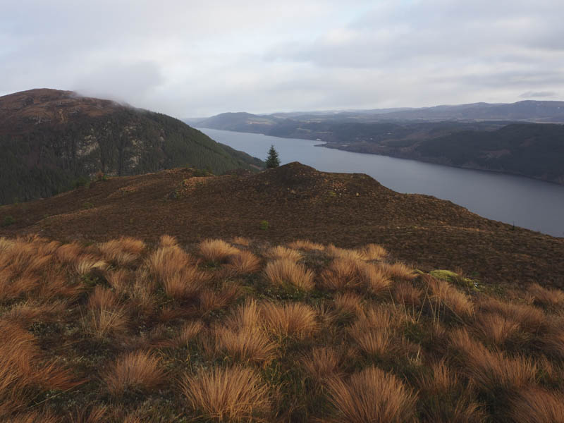
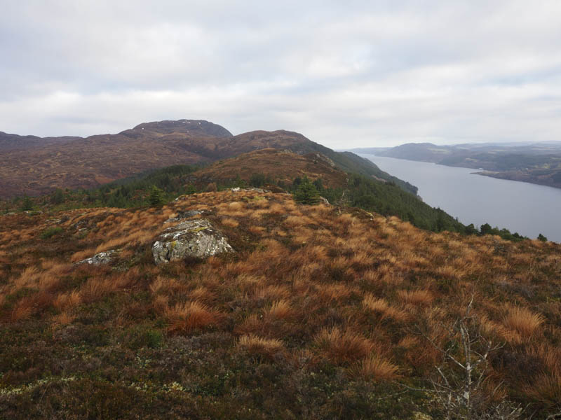
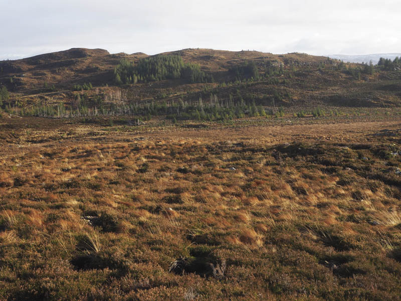
The descent west was fairly rough underfoot but no real problems until lowering down when I encountered brash and an area where the trees had been blown down. The ground was marshy as I walked round these trees and to the Great Glen Way High Route which was crossed as was an adjoining deer fence. This took me into a new plantation with numerous holes created when planting was taking place. The summit of the Tump, Meall Doire Bhrath was reached, an outcrop appeared to be the highest point.
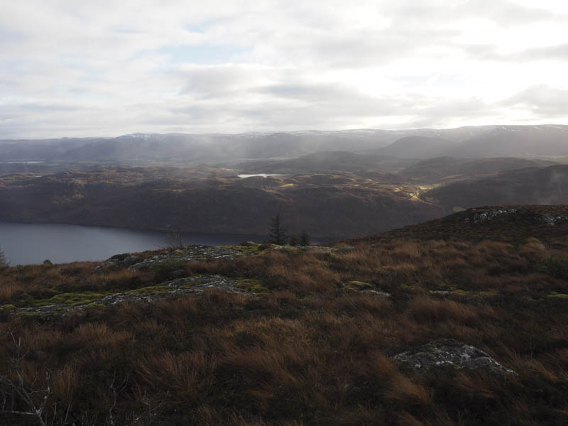
I descended south-east through more plantings to a junction of deer fences. Once over it I was onto the Great Glen Way High Route which I followed to the Auchnaconeran Road, although this way appeared longer than the forest tracks used on the outward route.
The steep minor road was then followed back to Invermoriston.
- Time taken – 4.5 hours.
- Distance – 10.75 kilometres.
- Height climbed – 480 metres.