Drum Maw and Wether Law – The start for this walk was Romannobridge on the A701 Penicuik to Broughton Road. I left my car at the end of a lane to the east and walked south-east along a grassy track that was wet from overnight dew. This took me passed a house and to the south side of Romanno Farm. The route continued through a gate and into a wooded area.
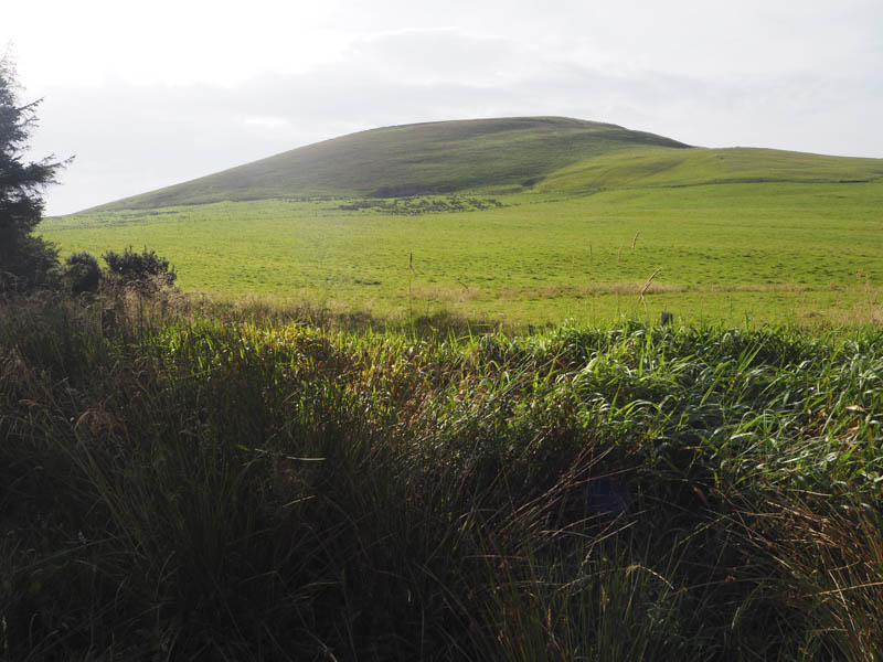
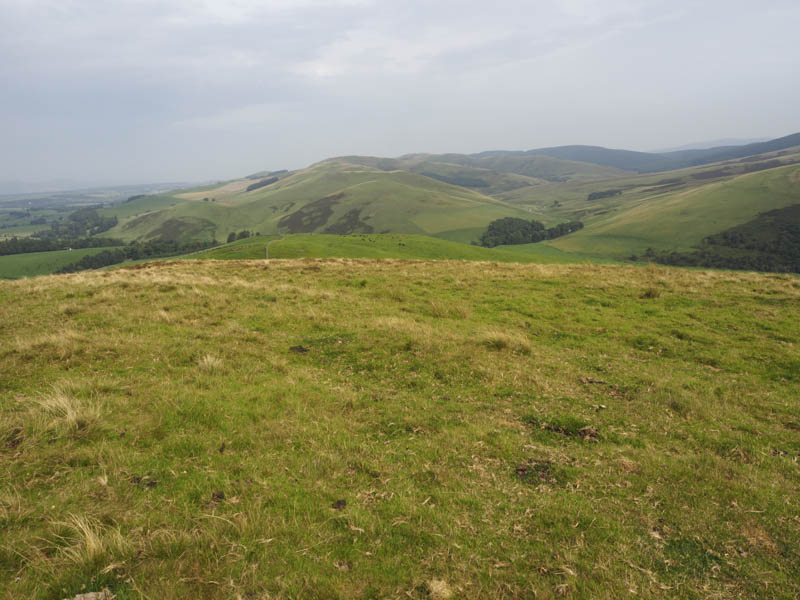
Near the highpoint on this old drover’s road I crossed a fence, walked through a field, went over another fence and climbed Drum Maw. The highest point of this Tump was marked by a cairn.
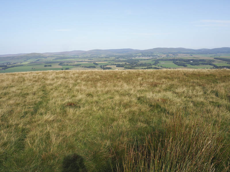
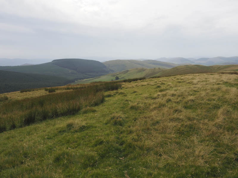
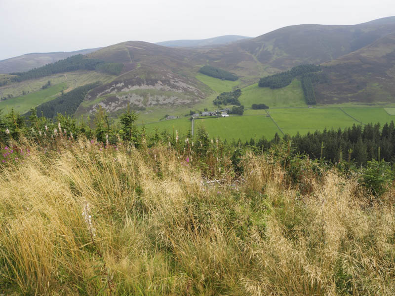
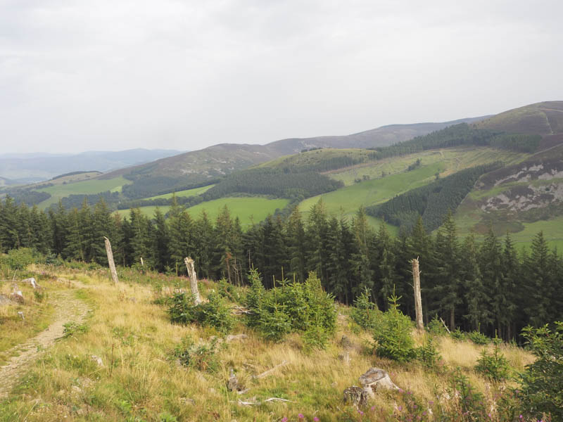
I descended east but lower down diverted to the south to avoid a large spread of bracken before crossing the old drover’s road and to a vehicle track that led to an easy crossing of the Fingland Burn.
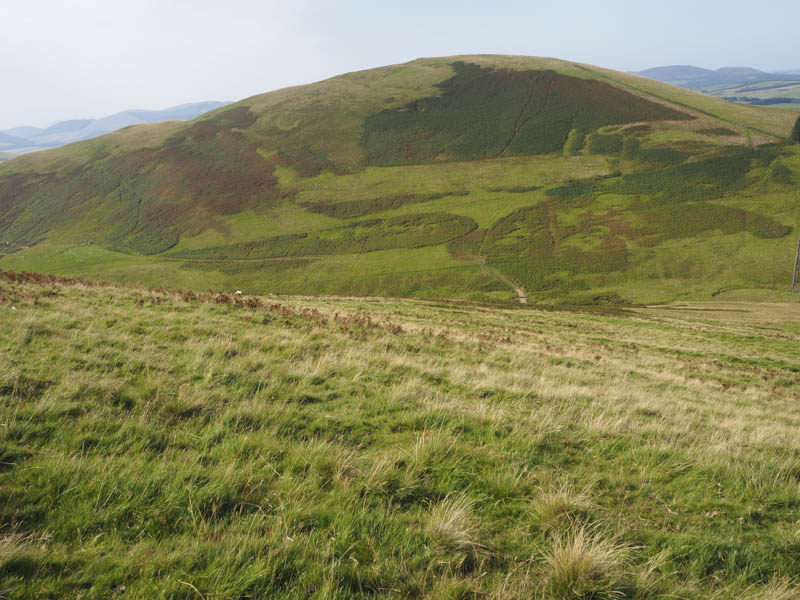
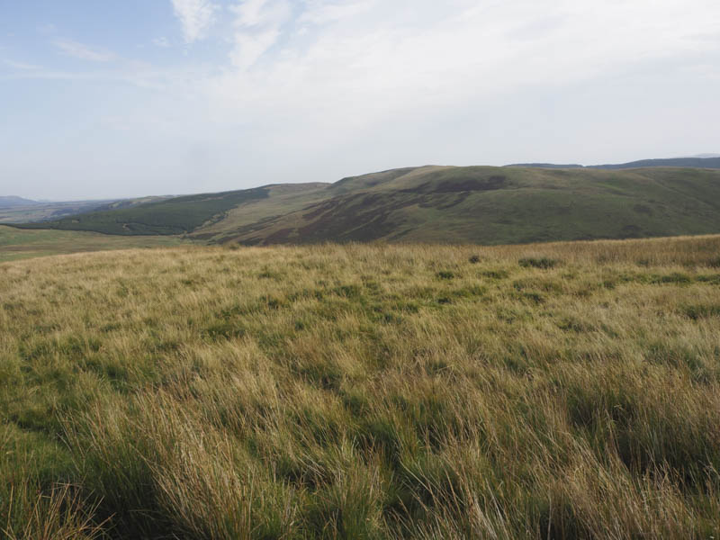
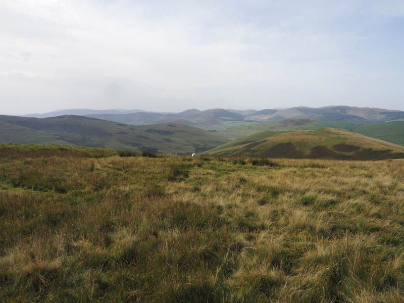
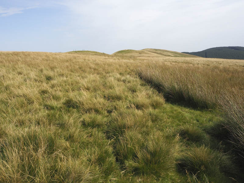
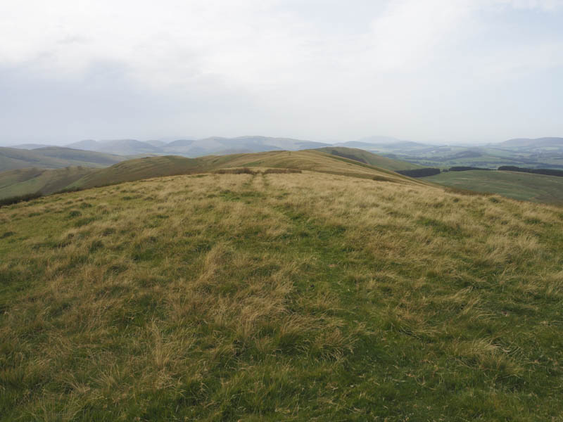
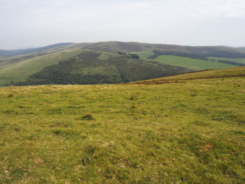
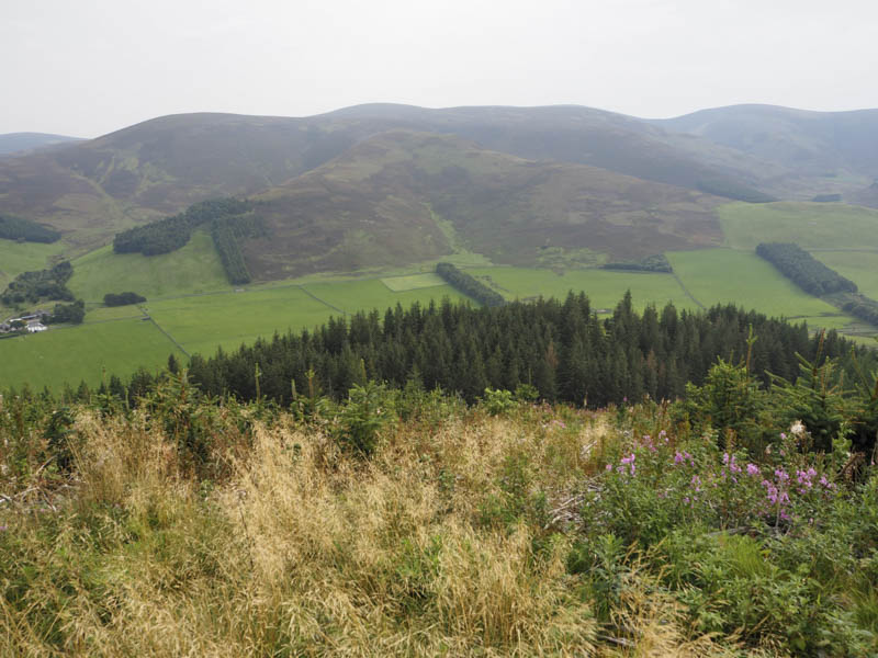
It was then a steady climb onto Hag Law where it was quite breezy. I then walked along the undulating ridge and to the trig point marking the summit of the Sub 2K Marilyn, Wether Law.
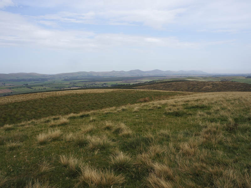
I didn’t linger long here as it looked like rain was imminent so returned to the old drover’s road which was followed back to the start. There was a rain shower but mainly while in the wooded area.
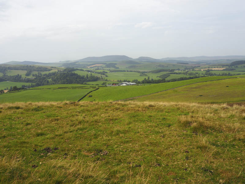
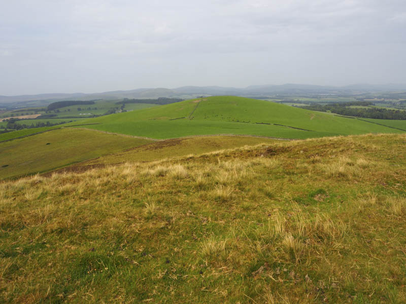
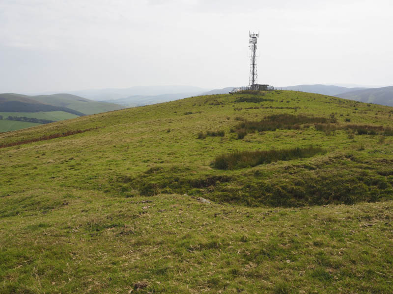
Drochil Hill – I parked at the west side of the B7059 Romannobridge to Peebles Road north of Castle Farm, (grid ref. NT161442) crossed a gate, climbed through a field of sheep and over a fence into a second field. The top fence here contained an electric wire so I had to divert to a gate before heading for the summit. The highest point of the Tump, Drochil Hill, was on the south side of the communications tower. BT Engineers were working at the top of the mast.
The return was by the ascent route.
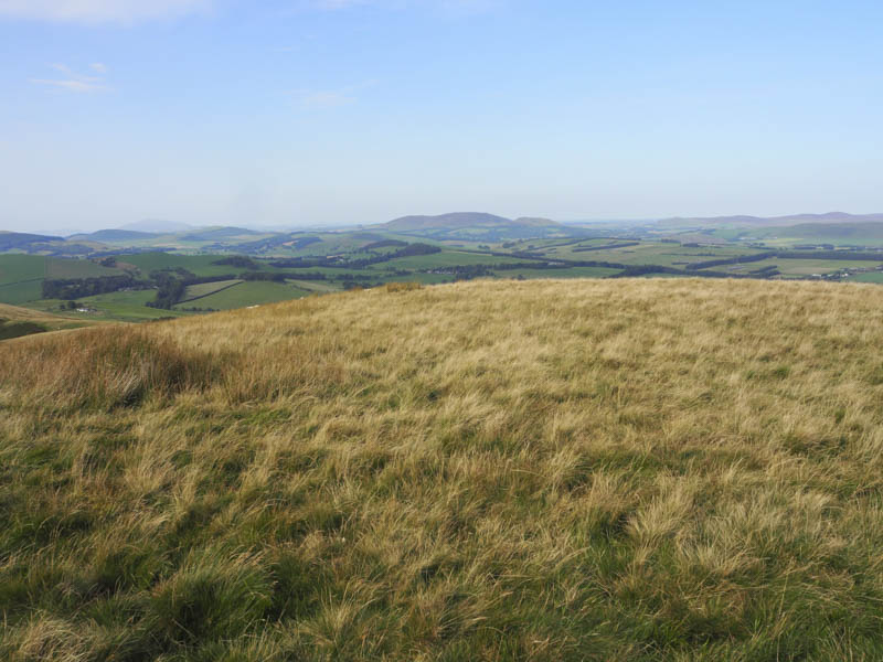
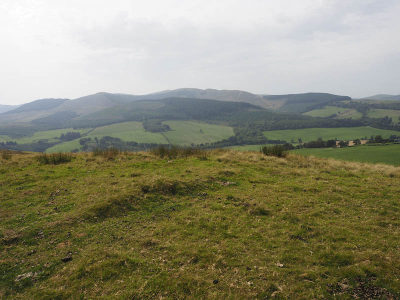
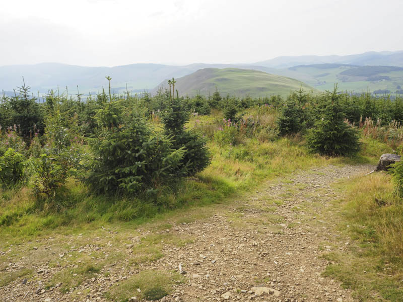
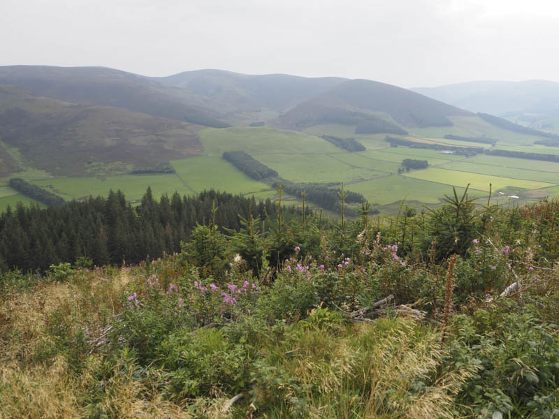
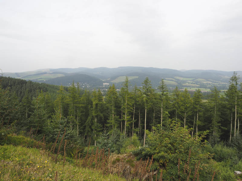
Cademuir Hill – From the centre of Peebles I drove south down a minor road then west up a forest track to a parking area. From there I followed the red marker pillars indicating the route to the summit of Cademuir Hill. This involved using paths and forest tracks which wound their way onto the summit of this Sub 2K Marilyn, marked by a cairn.
The return was by the upward route although I did take a few short cuts to avoid some of the zigzags.
- Total time taken – 4.25 hours.
- Total distance – 14.25 kilometres.
- Total height climbed – 850 metres.