Lamington Hill and Startup Hill –I left my car in the small car park in the village of Lamington located on the west side of the A702 Biggar to Abington Road and walked briefly south-west along the A702 before heading south-east up the minor road towards Baitlaws. Just prior to this farm I passed through a gate and made the short descent on a vehicle track to the Lamington Burn which was crossed via an arched footbridge.
The vehicle track continued east passing through another stock gate and along the side of a new plantation.
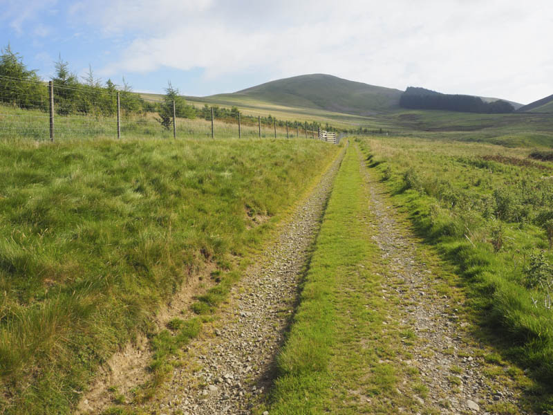
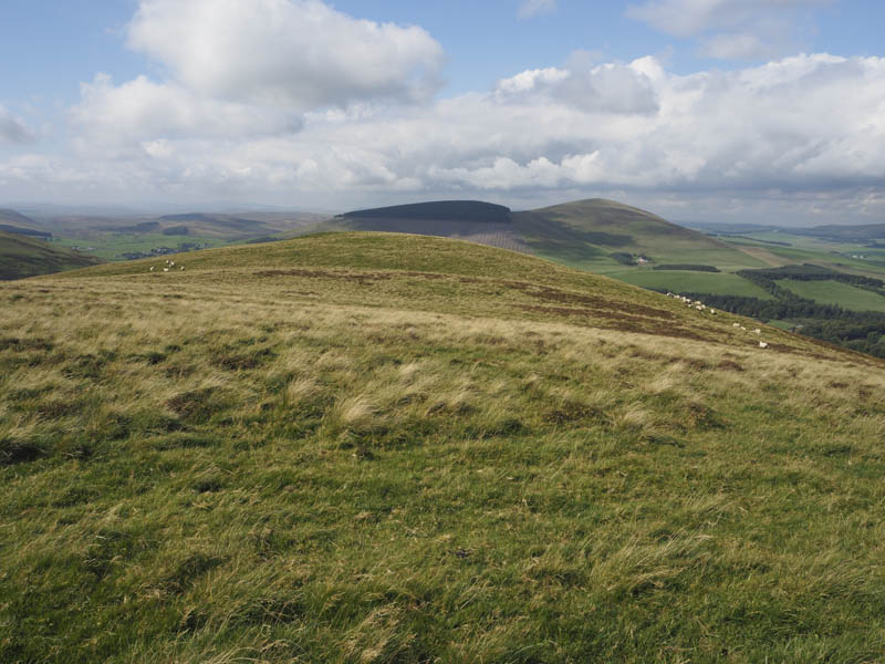
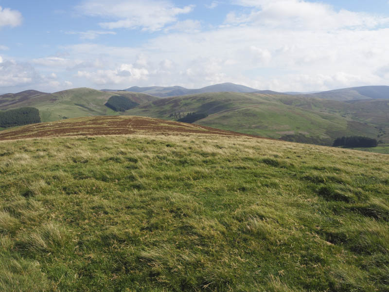
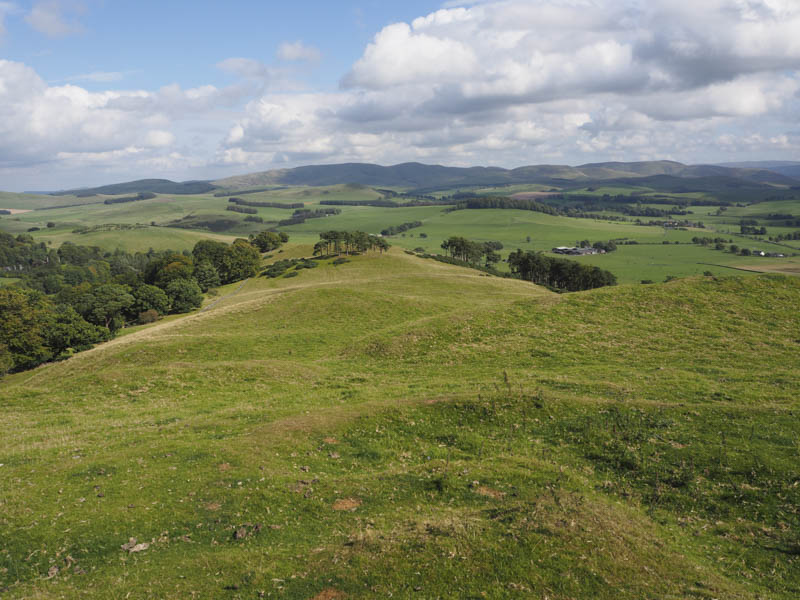
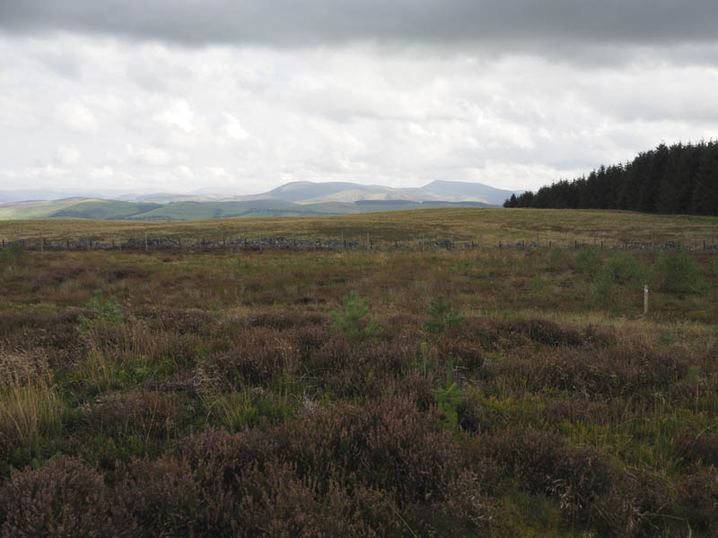
Prior to reaching the wood at Cowgill Loch I left the vehicle track and followed a grassy ATV track north-east. It was a steady climb with a couple of steeper sections onto the summit of Lamington Hill. The highest point of this Sub 2K Marilyn was beside the trig point.
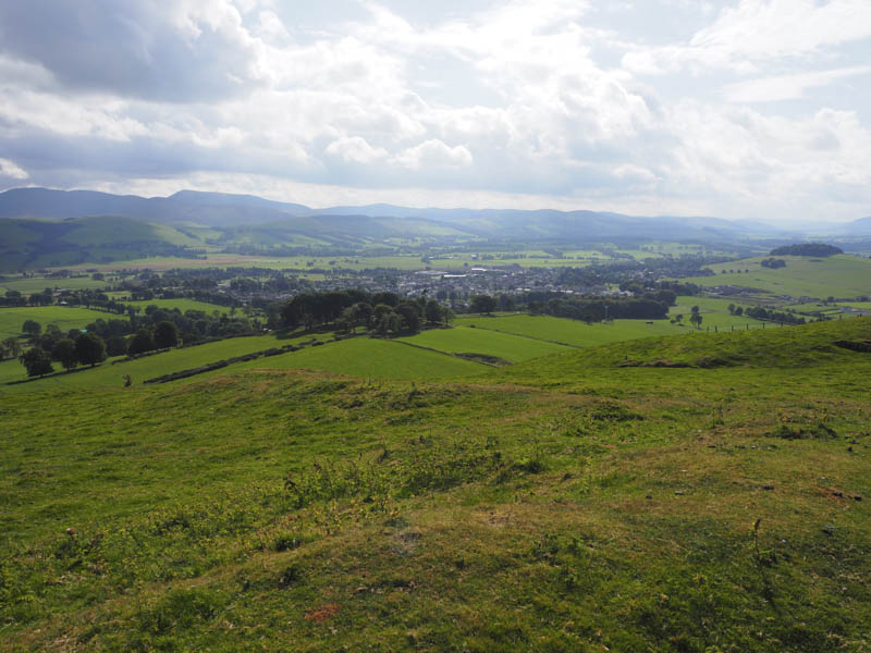
After a coffee break I returned to the road at Baitlaws. Here I crossed the road and a stock gate and worked my way round the farm, crossing a further two gates, before commencing the ascent of Startup Hill. It was a steady climb on grass then through bracken and onto heather before reaching the summit of this Hump, marked by some grass and moss.
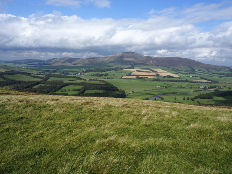
From there I descended north-east through grass and heather to the south side of the farm at Hillhouse where I had to divert due to an electric fence. This entailed crossing a rusty wire fence on top of a stone dyke with a steeper drop on the opposite side. Another field and fence was crossed to reach the minor Baitlaws Road then it was a short walk to the A702 and my car.
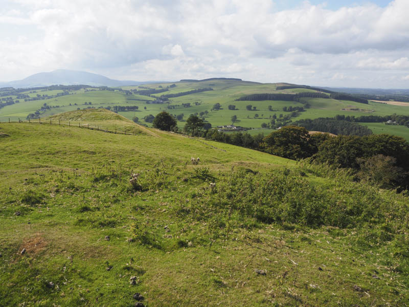
Bizzyberry Hill – I then drove to the B7016 Biggar to Carnwath Road and to just north of Hillhead Farm parking at the side of the minor road to Balwaistie.

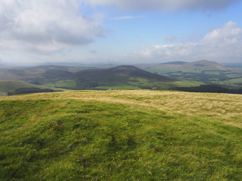
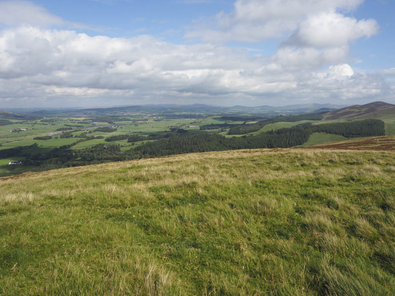
I then walked a short distance north before entering a strip of trees to the east where I located a grassy path. This took me up through the trees and to a stile that gave access to a grassy field. The path continued east. I crossed a stock fence and to the summit of the Hump, Bizzyberry Hill which was grass on an obvious knoll.
The return was by the approach route.
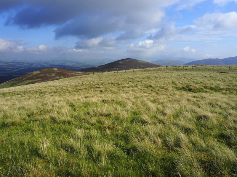
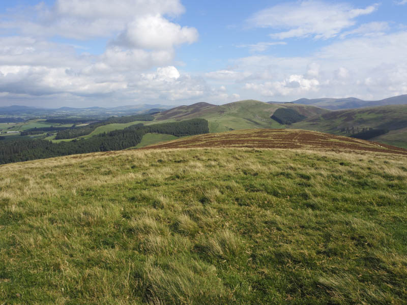
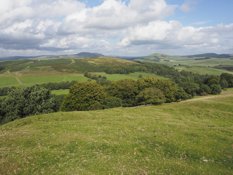
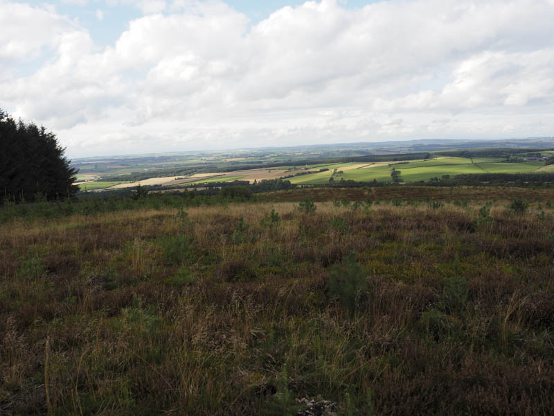
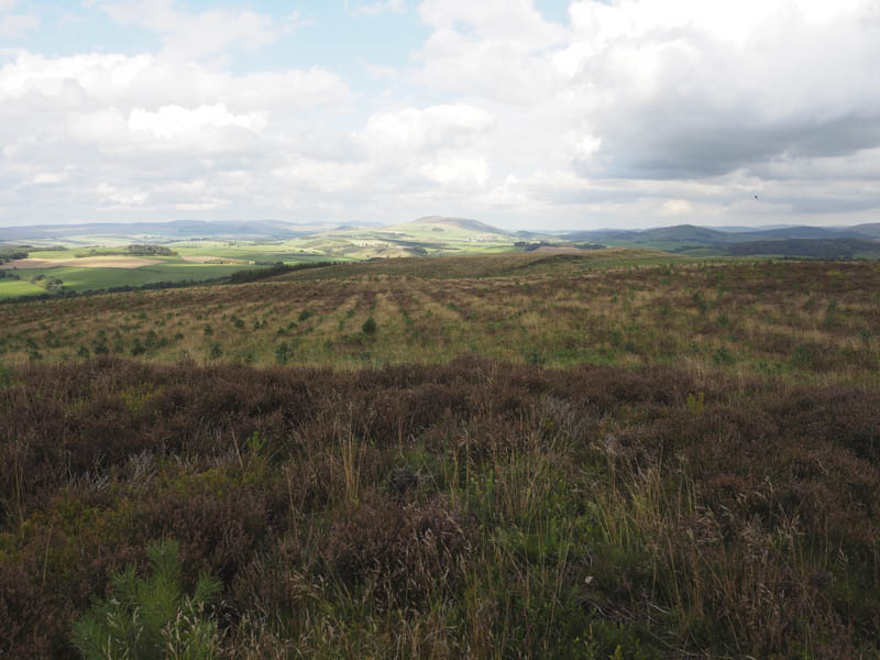
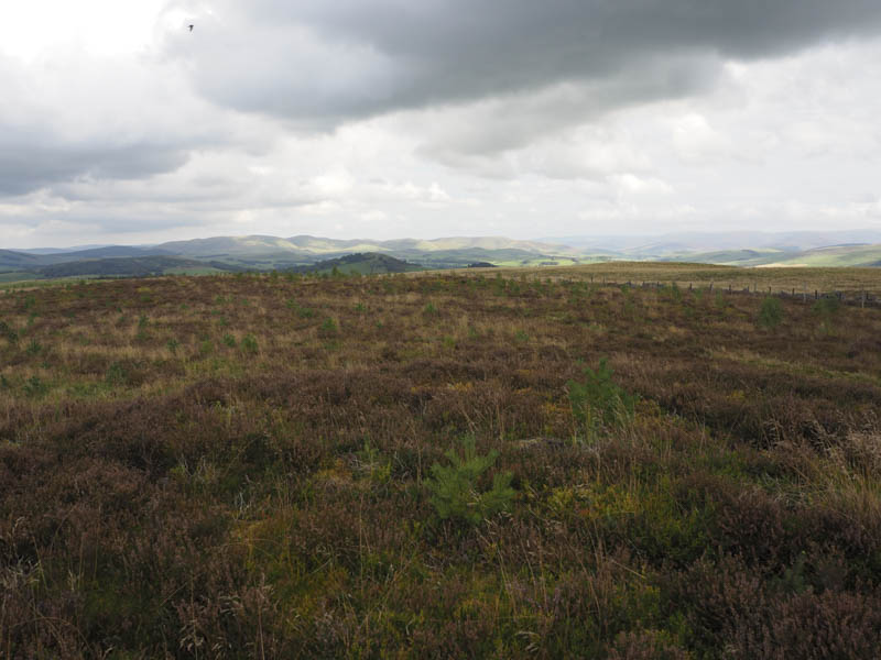
Temple Hill – This hill was located north-west of Biggar and was part of the Biggar Common. I left my car on a rough track accessed off the minor road to the west of Biggar Common. I then walked east through a stock gate and into the forest. The track, which made for reasonable progress, was on a mostly slight gradient and in reasonable condition. Near the east end of the forest I followed a fire break through the trees, went over a stock fence and into open ground. The summit of Temple Hill was a bit further north and within a new plantation. This involved crossing an old stock fence and a new deer fence to reach some heather which appeared to be the highest point of this Hump.
The return was by the approach route.
- Total time taken – 5.25 hours.
- Toal distance – 14.75 kilometres.
- Total height climbed – 715 metres.