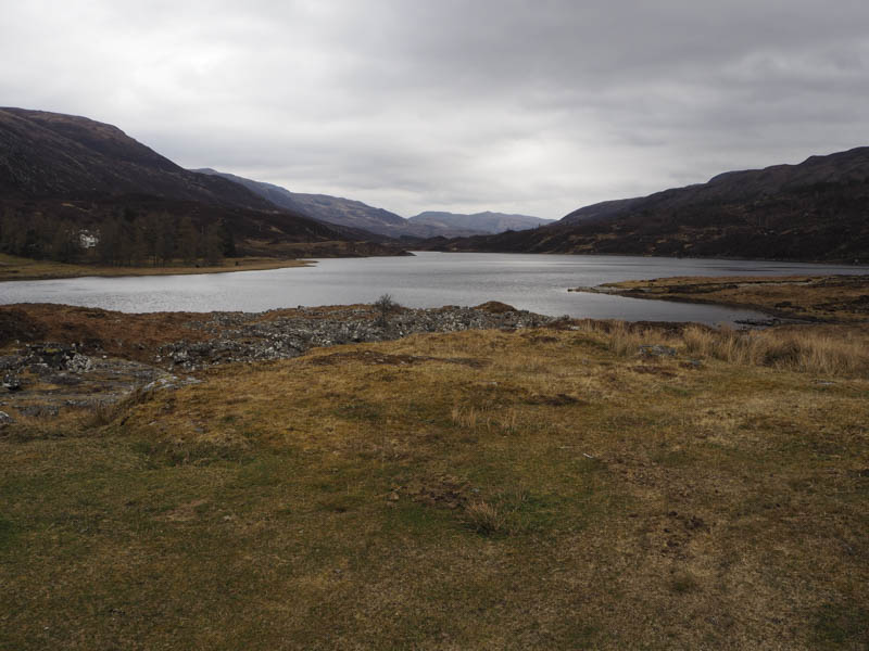
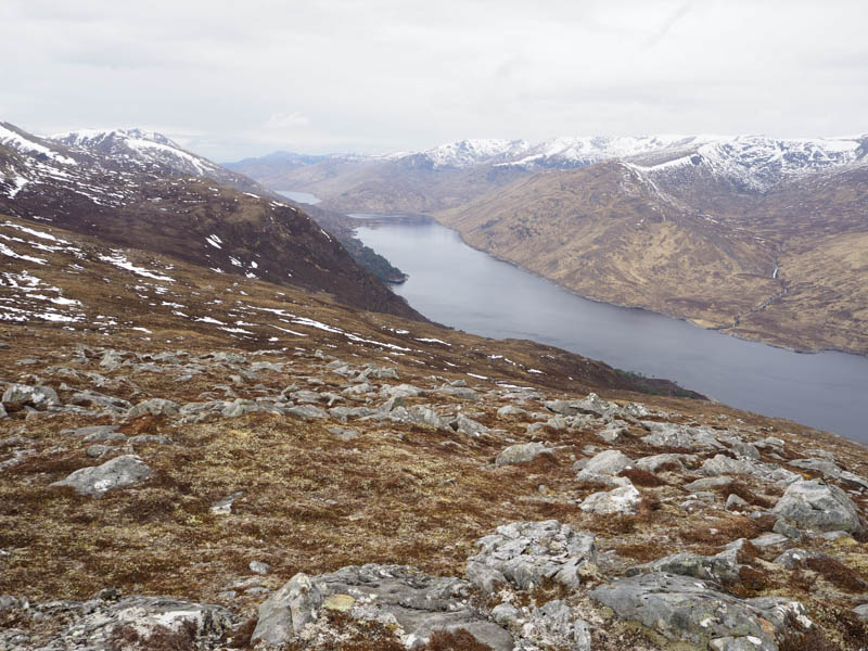
Creag a’ Bhaca – I drove from the A831 at Cannich Village along the single track road through Glen Cannich to the Mullardoch Dam with the intention of parking at its south side. However access to the parking area shown on the map wasn’t possible as there was a gate fitted with padlocks on the bridge over the outflow from Loch a’ Bhana. I therefore parked on the grass beside this bridge and walked up the tarred road towards its end.
Here a rough vehicle track wound its way north towards a shack where it came to an end. Before reaching this property I crossed rough ground and followed a deer fence to the Allt Fraoch-choire which ran between a set of deer fences. Once over this stream I walked up the edge of the westerly fence through more long heather, some fallen trees, and areas churned up by deer.
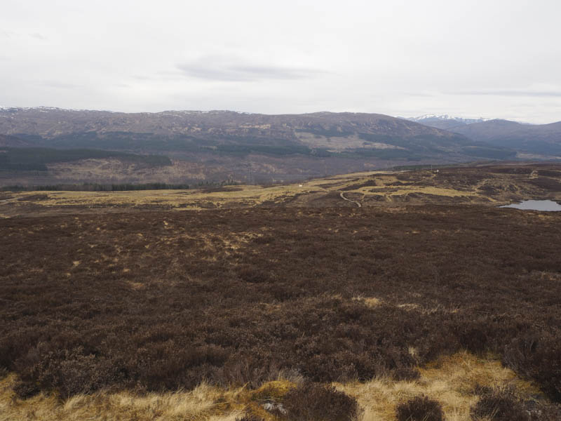
At the top end of this fence I headed south-west towards Creag a’ Bhaca initially crossing some wet and boggy ground then through more heather and as the ground steepened it became a bit rocky, most of which could be avoided.
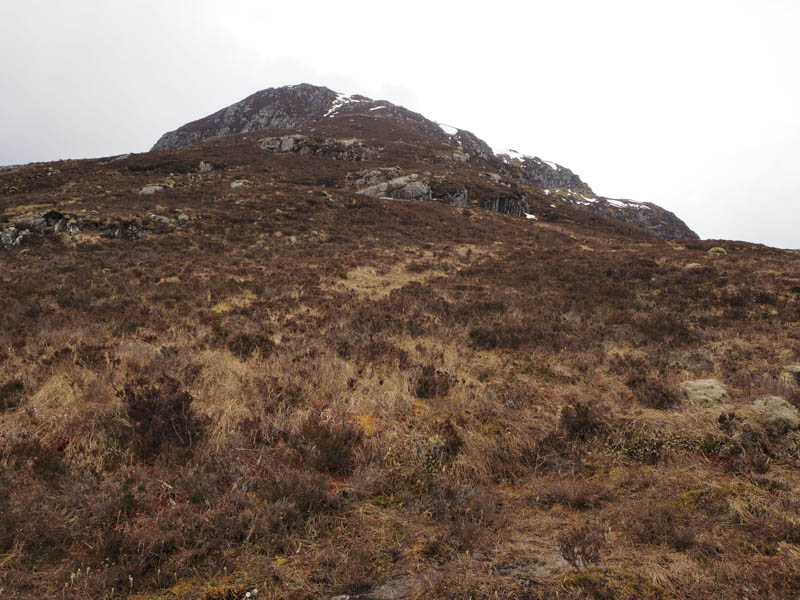
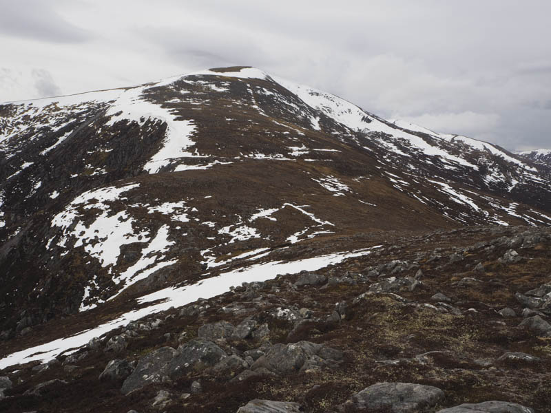
It was a steady climb but eventually I reached the summit of this Graham Top marked by a rock.
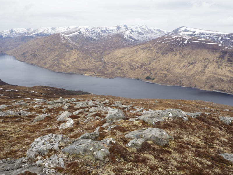
After a break here sheltering from a cold wind I returned by the ascent route. Lower down I looked for an easier way back to the dam but there wasn’t one.
Beinn Mhor – This Tump was located south-east of the village of Tomich, reached along a single track road from the A831 south-east of Cannich. I left my car at the start of the vehicle track to the south-west of Guisachan Farm and walked up the farm road then round the properties including holiday lets.
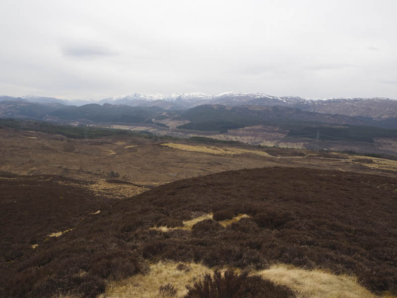
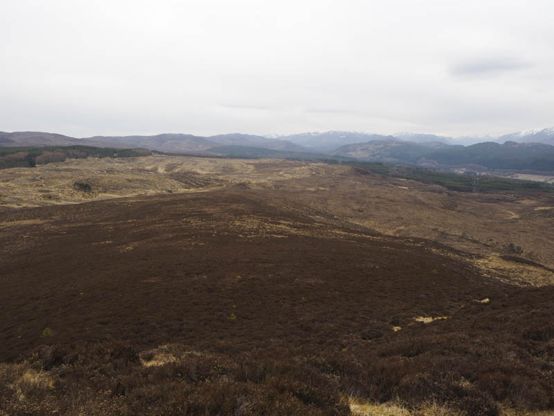
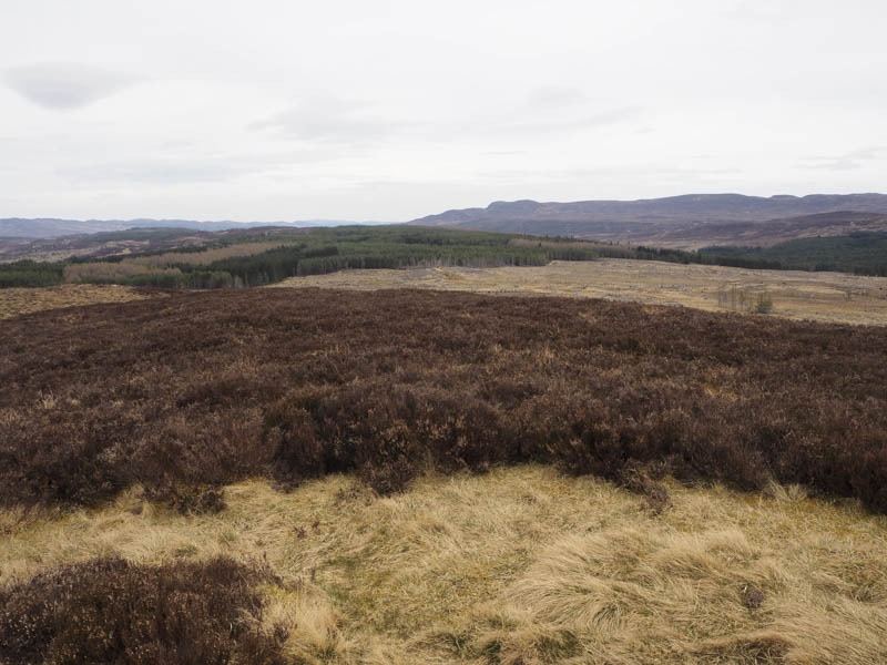
The vehicle track then climbed steadily north-east then south east passing entrances to other properties. The track eventually cleared the wooded areas to reach a junction of tracks beside the electric pylons.
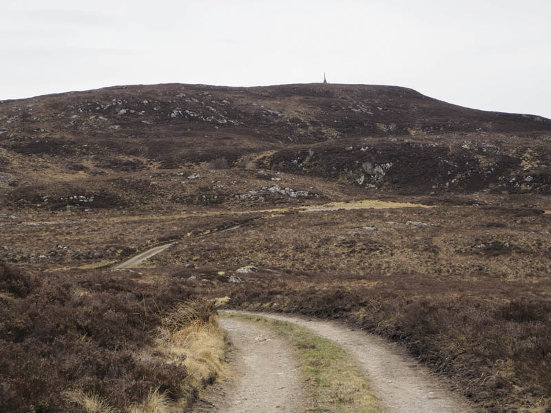
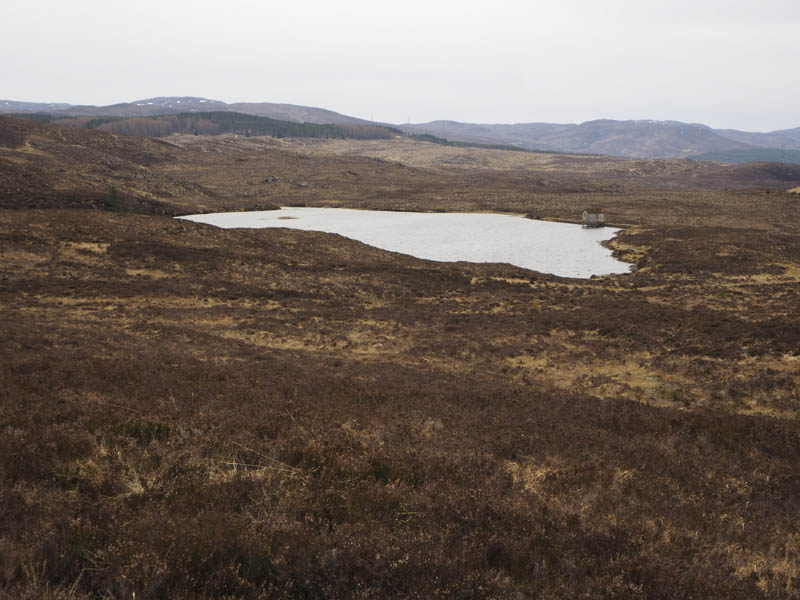
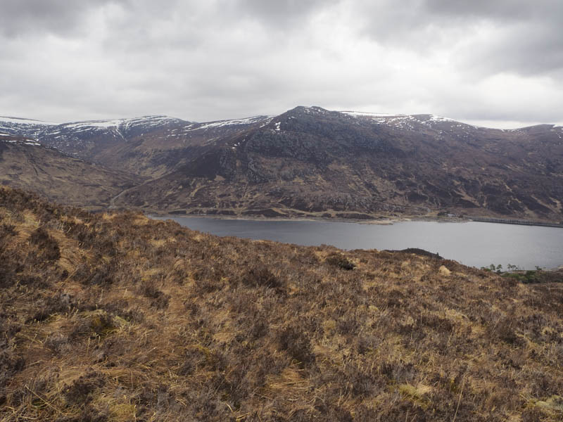
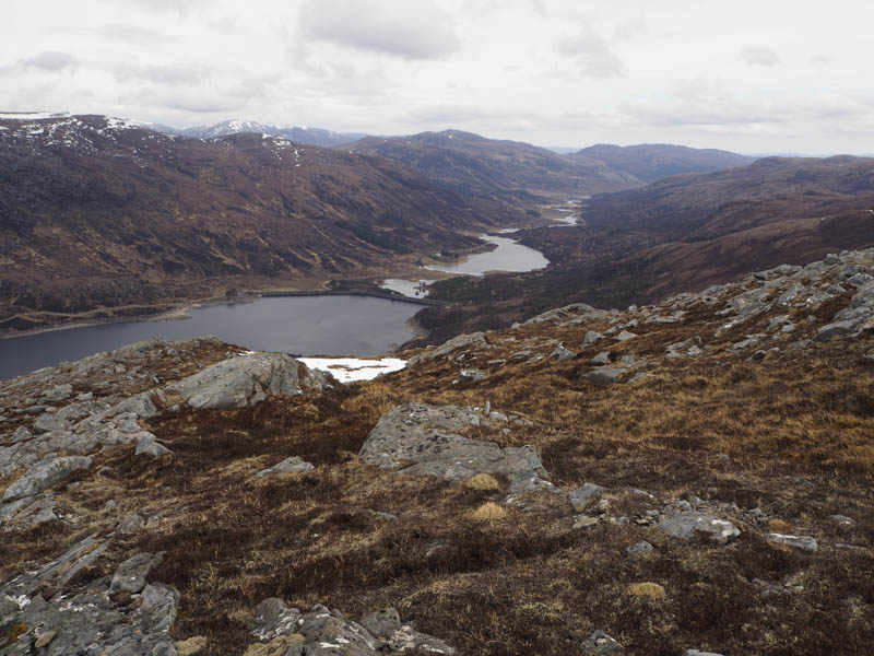
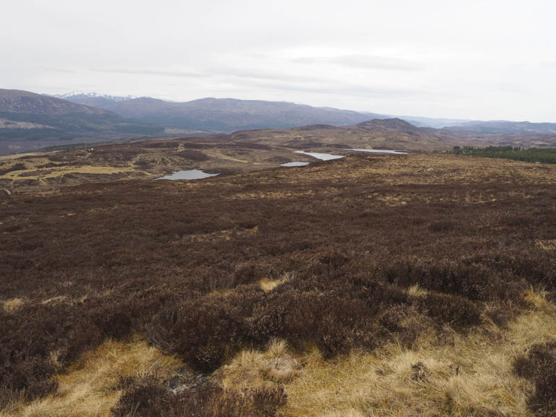
Here I continued south-east passing between Loch a’ Ghreidlein and Loch na Beinne Mor where beside the latter a five star fishing bothy was under construction although looking at the plans it is more like a house by the lochside. I left the track here and climbed through long heather to the monument on the summit of Beinn Mhor.
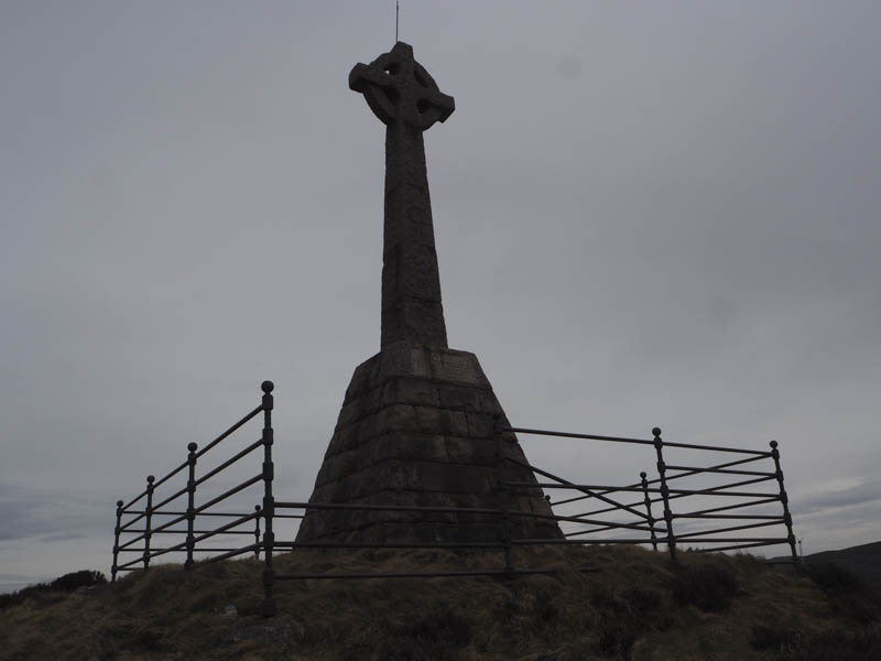
I sheltered behind the monument from the cold wind before returning by the upward route.
- Total time – 5.75 hours.
- Total distance – 14 kilometres.
- Total height climbed – 910 metres.