I headed for the village of Tomich, accessed off the A831 south-east of Cannich, then continued through the village and onto the untarred road, with its numerous pot holes, signposted Plodda Falls. Once beyond Hilton Lodge I parked at the side of the track and walked back towards the Lodge and to a vehicle track signposted ‘Public Path Glen Moriston 8’ (miles)
This track was followed south to a set of gates the main gate being padlocked. There was a single parking spot to the east immediately before the gates which I could have utilised. Once beyond the pedestrian gate it was a steady climb through the woodland with a few steeper sections higher up where the track was a bit rougher. After around 1.75 kilometres I reached another set of gates and beyond them the open hillside.
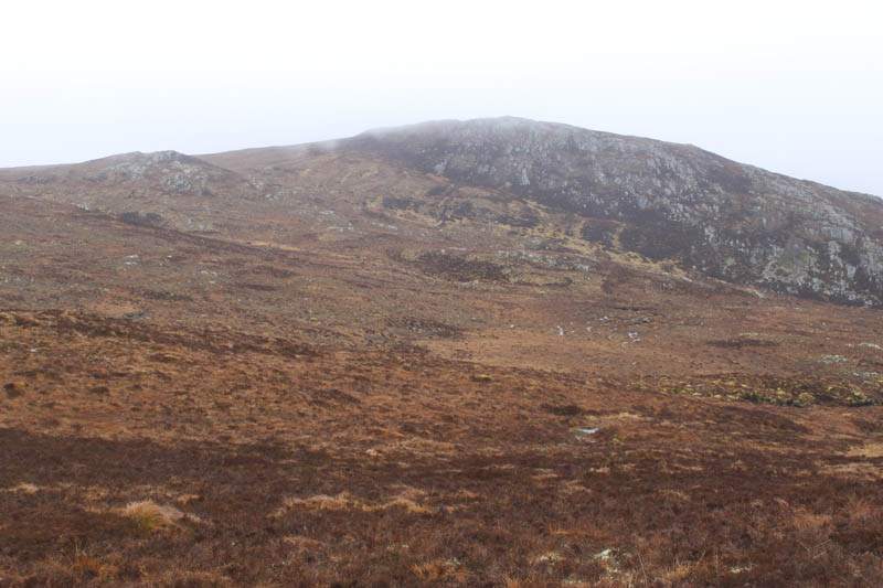
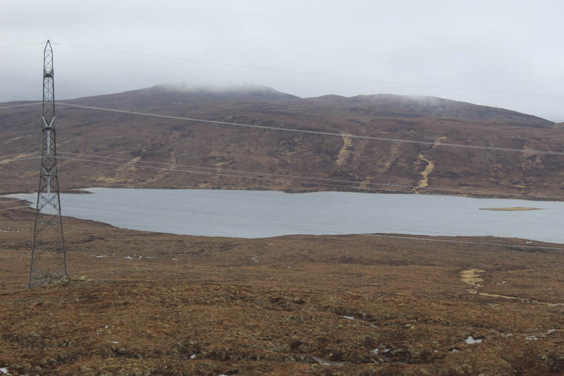
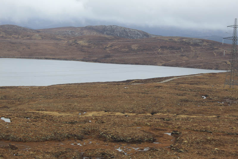
Several metres further south I joined the upgraded vehicle track coming up from Tomich and used in connection with the power lines that crossed the hillside to Glen Moriston. It was again a steady climb with a few steeper sections then higher up I was into the low cloud. I had planned to climb Clach-bheinn first, direct from the power line track, but in the poor visibility and with a gully to cross I changed my mind and continued along the track.
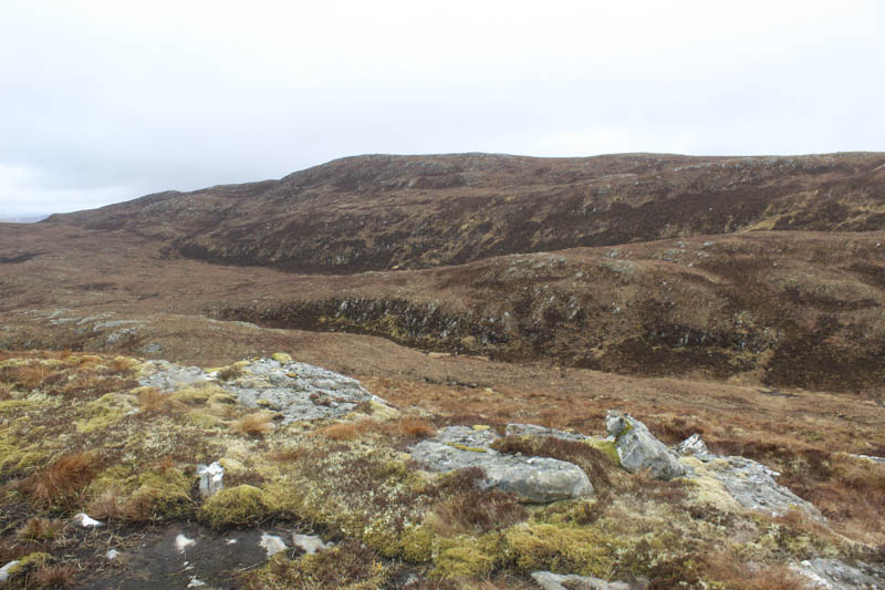
At NH29312054 I left the track and crossed some rough ground, wet with areas of bog. In fact this was the case on the majority of this day’s off track route. It took me onto Meall an Uillt Badan Laraich where the highest point of this Tump was an outcrop south-east of the cairn.
I found some shelter from a cool breeze for a snack with the cloud occasionally and briefly lifting.
Afterwards I descended west then north-west before a steeper ascent of Clach-bheinn, through heather, avoiding the rockier south face. The highest point of this Tump was the remnants of an old cairn.
The descent briefly west then south was followed by a short climb onto the Sub Dodd, Clach-bheinn South Top, the summit marked by a mossy outcrop.
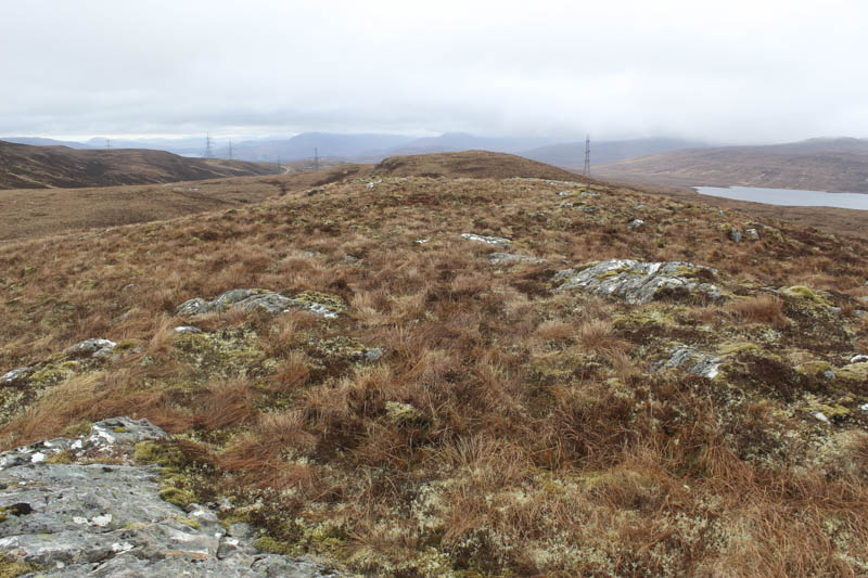
My route continued south again with occasional views when the cloud broke as I headed to and climbed Meall a’ Choire Leith, the summit of this Sub Dodd marked by a mossy outcrop.
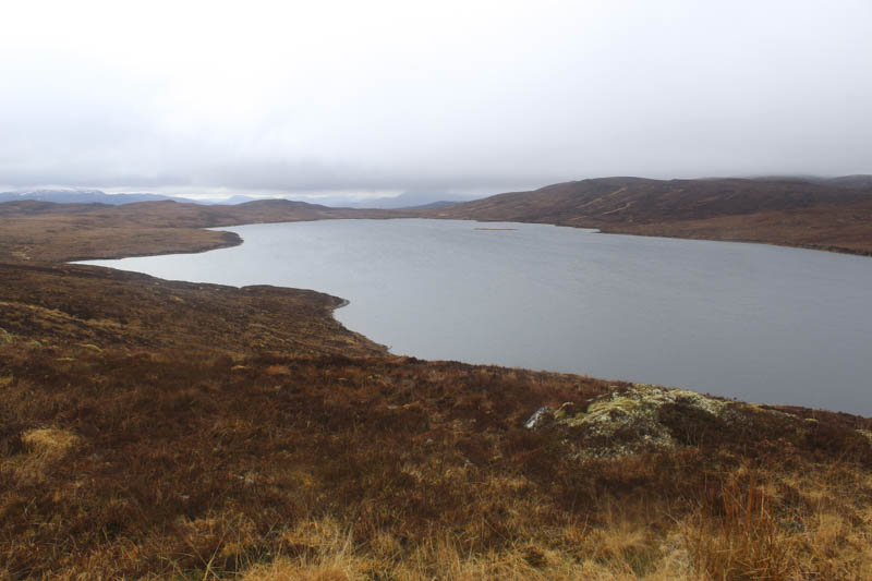
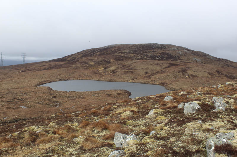
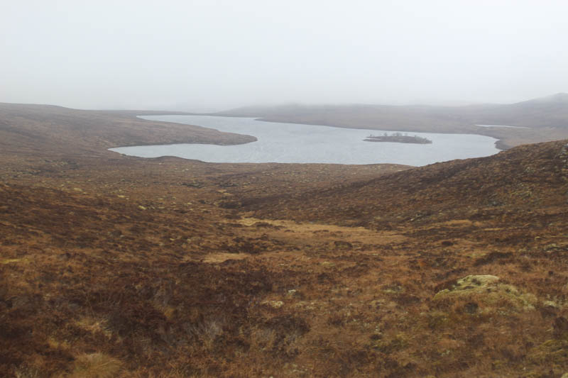
Having earlier changed my route plan the dilemma was whether to walk round the south-west end of Loch na Beinie Baine or return to the power line track over Meall an Uillt Badan Laraich. I decided on the latter returning to the track to the north-east of Loch na Beinie Baine. (NH29271988)
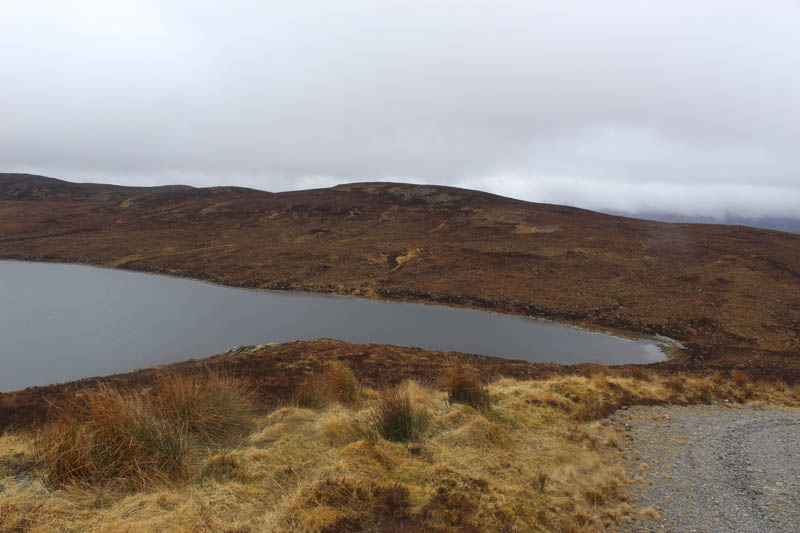
It was initially a steep climb as I headed south along the track before it levelled out. I walked round a gate blocking the track where a sign indicted stalking took place between 1 October and 31 March, it being 1 April I had missed it by a day, not that the sign met access guidelines. At a point north of a building and before the track lost height I left it, went round the side of a deer fence and ascended, Creag an Fhir-eoin West Top, a deleted Sub Simm, the summit marked by an outcrop.
Then it was onto the rockier Sub Simm, Creag an Fhir-eoin also marked by an outcrop.
It was now time to head back but I planned to take in a final hill en-route. A direct route north was blocked by the Graham, Carn nan Earb. I could have returned to and used the vehicle track before approaching Leachad nan Saighead from the south-west but opted to descend to the east of the twin lochans then round the east side of Carn nan Earb. Despite some undulations the walking was easier than expected. However things changed on the approach to Leachad nan Saighead as there were numerous peat hags almost to the summit making for slow progress. The highest point of this Tump was marked by a mossy outcrop.
Thankfully there were no peat hags on my descent north-west, just rough vegetation, longer lower down, before I re-joined the power line track at NH29292195. I then returned to my car by the outward route.
- Time taken – 6 hours 50 minutes.
- Distance – 19 kilometres.
- Height climbed – 740 metres.