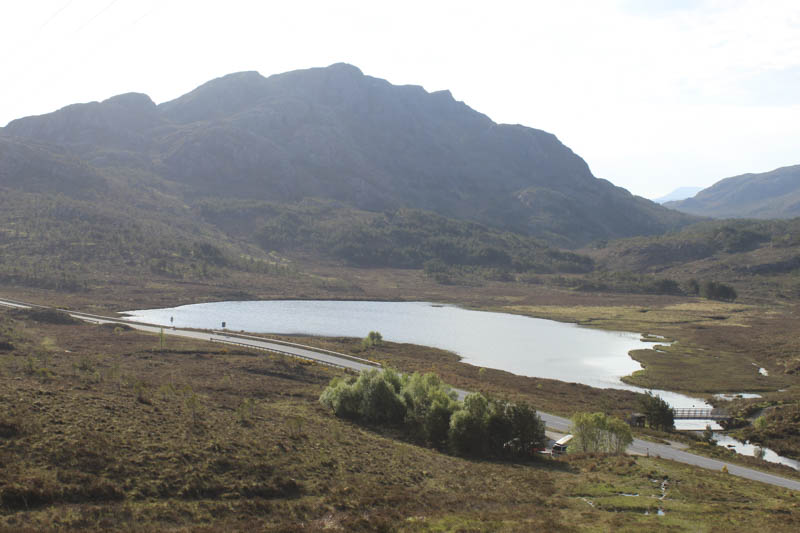
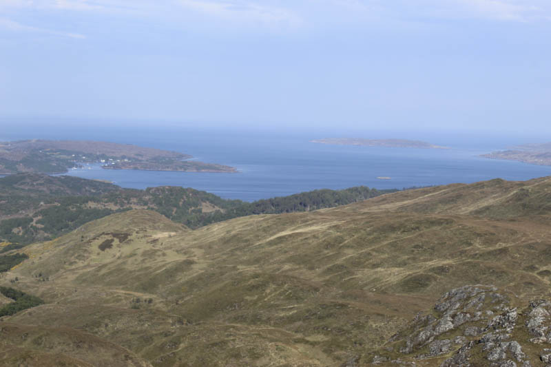
With a fine day forecasted I decided to head to the North-West with an early start to avoid the traffic on the North Coast 500. I parked beside the green hut on the north side of the A832 Kinlochewe to Gairloch Road opposite Am Feur-Loch where there were already a couple of cars, possibly folks camping, and a camper van.
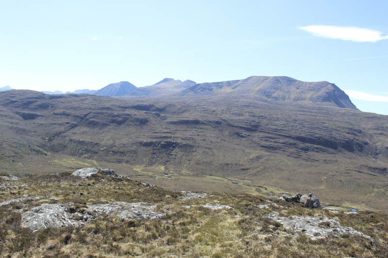
I exited the west side of the parking area onto a wet and muddy ATV track and followed it north-west then west to a couple of comms towers. From there I climbed north through some rock, with a short drop before ascending to the summit of the Tump, Meall an Tuill-aoil. The highest point being a heather/moss/grass topped outcrop.
The descent north-west took me to a line of slightly raised ground, possibly an old boundary although there was no sign of a fence or dyke. I then continued in the same direction as I climbed grassy rakes, avoiding the crags, and onto the summit of the Hump, Meall Aundrary marked by an outcrop. I then made a slight descent north, avoiding the rocks to the cairn which was apparently two metres lower.
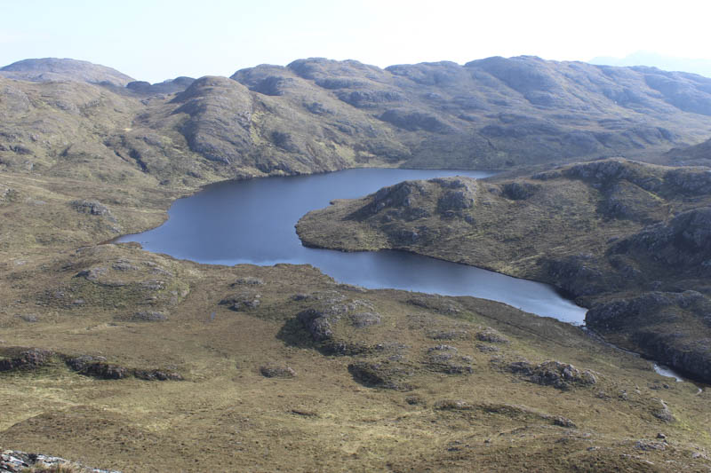
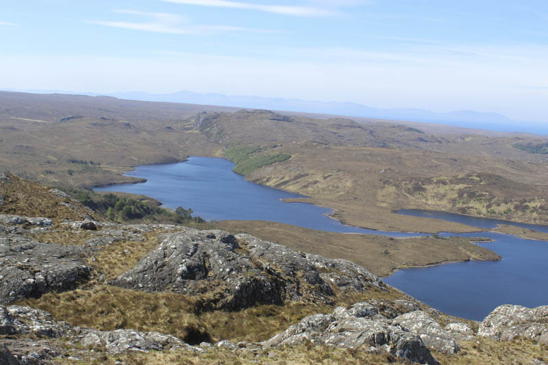
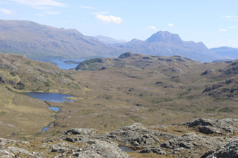
Returned to the wee col between the two tops and descended east, went over an intervening knoll, then a steady descent took me to the outflow from Loch nam Buainichean, the Allt Airigh an Leisteir, easily crossed as the water level was low.
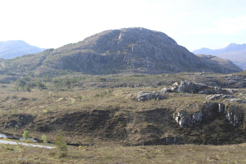
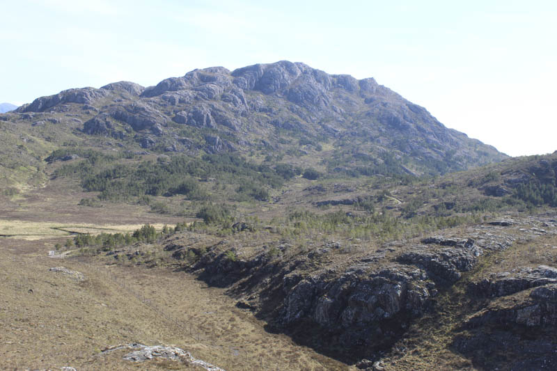
I then climbed east/north-east onto the south side of the Tump, Creag Bhan, and to its highpoint another heather/moss/grass topped outcrop.
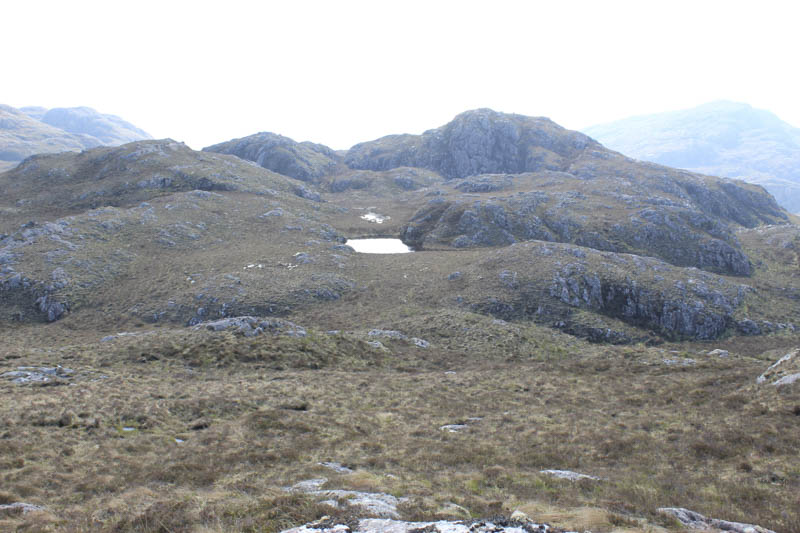
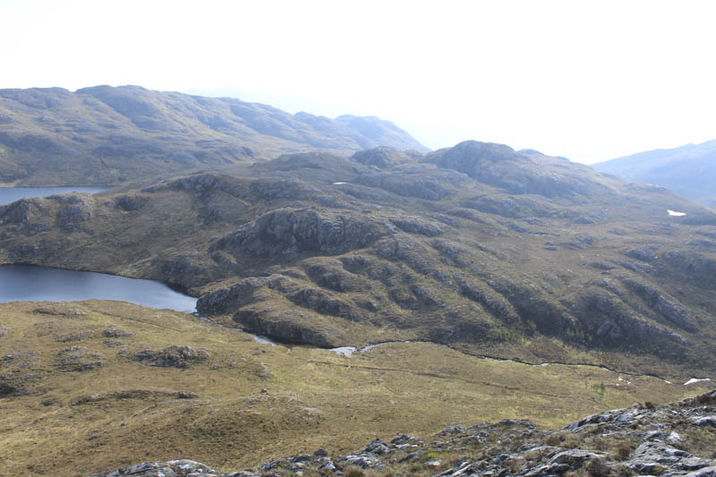
From there I descended east to a small un-named lochan and onto some wet deer tracks and to the north side of my next hill as a direct approach wasn’t possible due to the cliffs. At a col I left the deer track and climbed steeply through and over some rocks and onto the summit of the Tump, Meall an Triubhais Dhuibh, marked by some heather and moss.
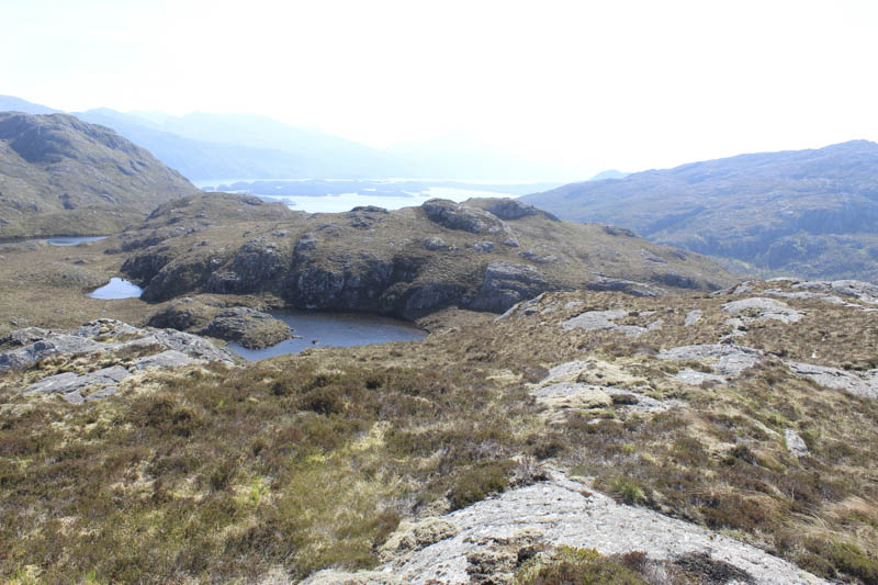
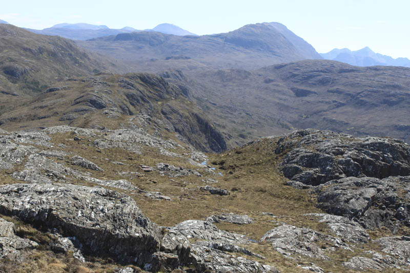
Descended east then south-east to the south side of another unnamed lochan and ascended Meall an Triubhais Dhuibh East Top, the summit of this Tump was marked by an outcrop.
I descended its south-west ridge, crossed an un-named stream and later the Allt Airigh an Leisteir, to reach the A832 beside the green hut. Crossed the road and footbridge over the outflow from Am Feur Loch and walked briefly along the path before leaving it and climbing through rough vegetation, a bit longer on this side of the road, and ascended Cnoc nam Feur-loch. The summit of this Tump was marked by an outcrop.
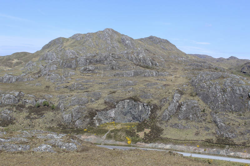
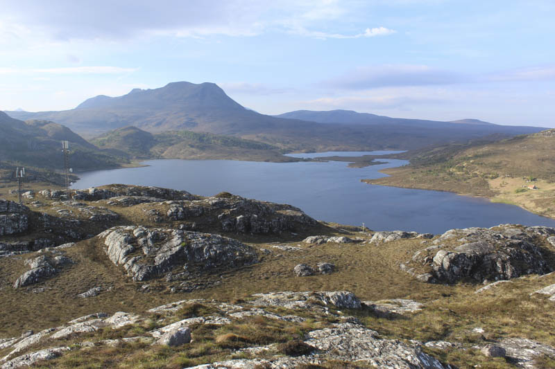
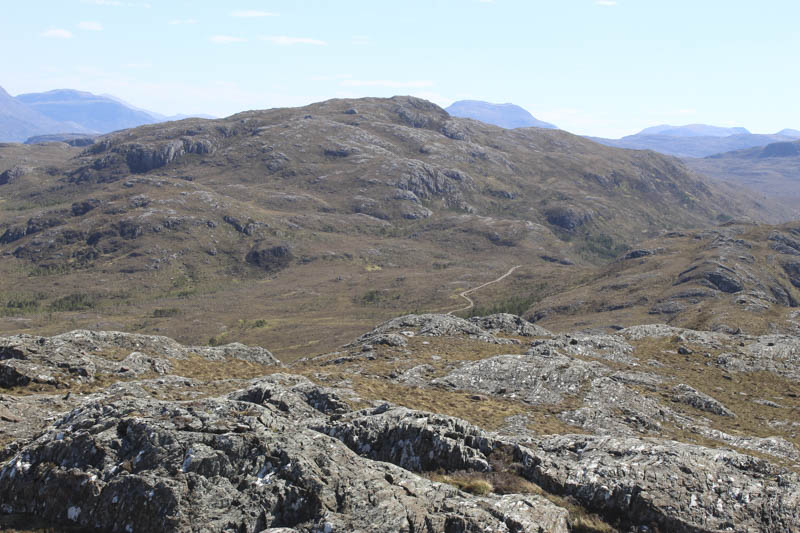
Returned to the track beside the gate in a deer fence and followed the track south-east gaining a bit of height and looking for a suitable route onto Meall Ghlas Leothaid with its numerous crags on its east face. As I continued along this track I changed my plan and decided to first head for the South-East Top then return over Meall Ghlas Leothaid.
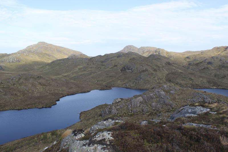
At NG86917046 I came across a sign for a walker’s path off to the south-west so left the track and headed for the col between the two tops. Initially there was no evidence of a path but I spotted a marker post and here the path was obvious. On reaching the col I climbed over a couple of rocky knolls onto the summit of the Tump, Meall Ghlas Leothaid South East Top, marked by a cairn.
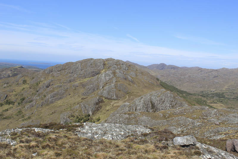
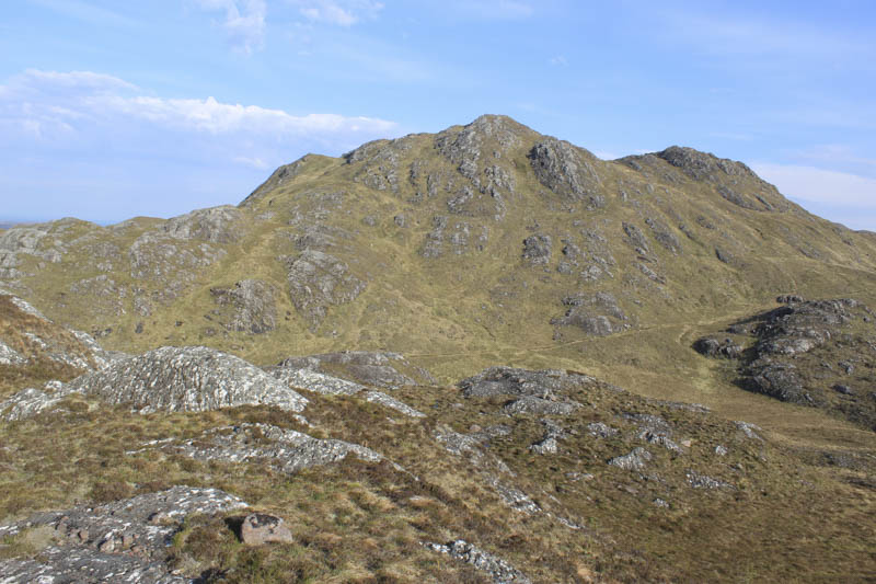
I returned to the col and commenced the ascent of Meall Ghlas Leothaid. It was a steady climb following a path with marker posts and higher up through some rocks. A viewfinder cairn marked the summit of this Tump.
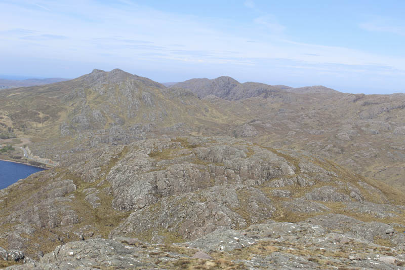
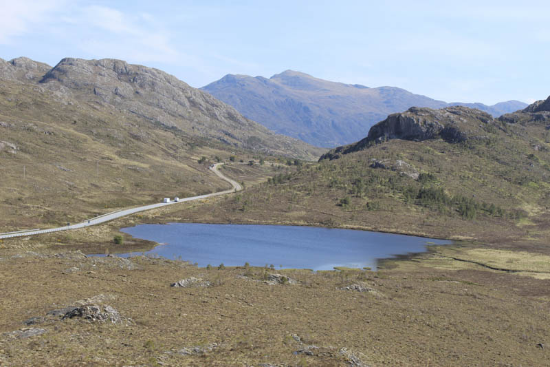
After lunch sheltering from the wind I descended the north-east ridge still on a path with marker posts. Lower down amongst some longer heather and young trees I lost the line of the path and emerged back onto the track at NG85997170, which may have been the start of another path across the hill to Loch Bad an Sgalaig. It was then a short walk to the Green Hut and my car.
- Time taken – 5hours 50 minutes.
- Distance – 11.75 kilometres.
- Height climbed – 660 metres