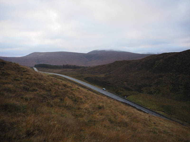
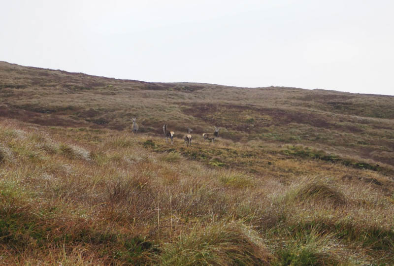
Carn a’ Ghlinne, Carn na Garbh-lice and An Cabar – I parked on the verge on the west side of Glen Docherty on the A832 Achnasheen to Kinlochewe Road, (grid ref NH072587) crossed the road and a small dyke then climbed steeply up the side of a deer fence where wooden slats in the fence made accessing the other side easier. The gradient was still steep easing later then the walking was fairly easy through wet, rough vegetation which wasn’t too long. There were lots of deer around which was the case for the rest of the morning.
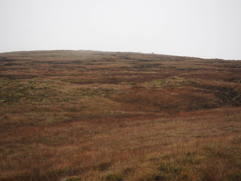
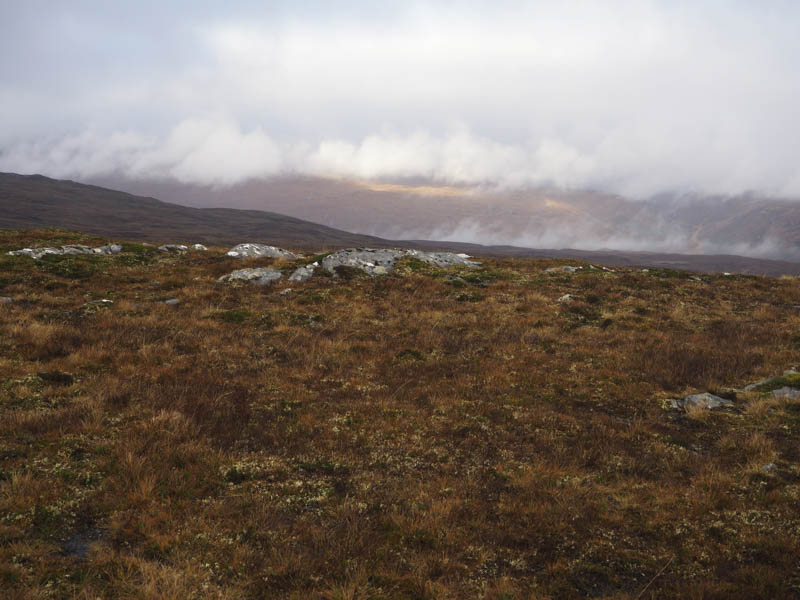
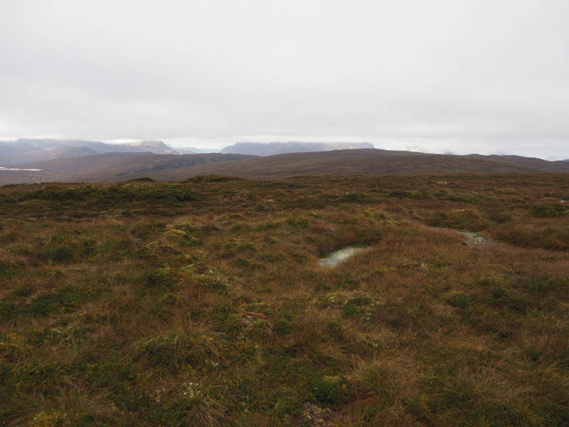
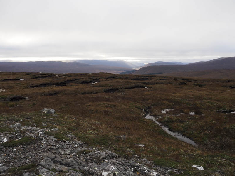
Higher up there were numerous bog pools and peat hags but progress was still relatively easy. The trig point marking the summit of the Hump, Carn a’ Ghlinne was reached but the cloud had lowered just prior to my arrival so unfortunately there were no views.
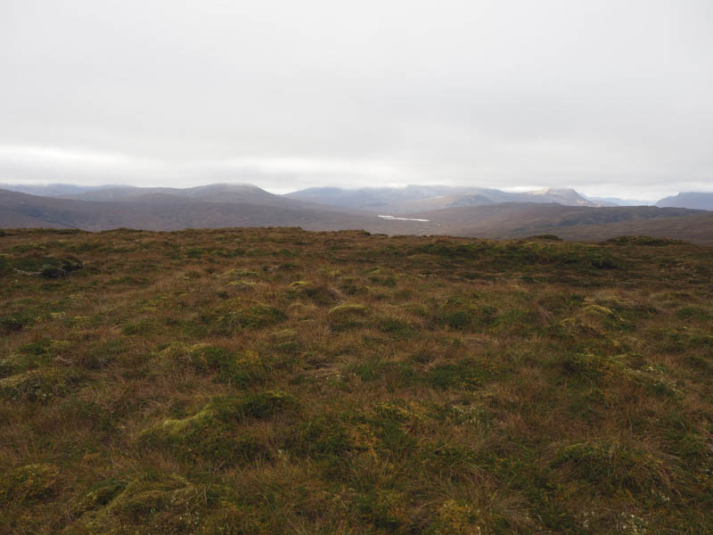
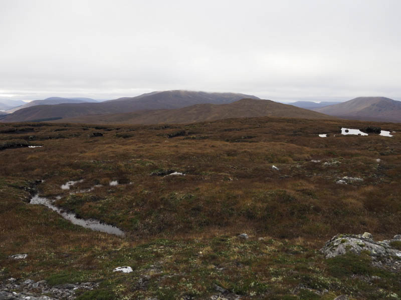
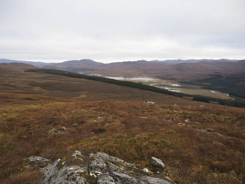
I therefore didn’t hang around and descended east on a gentle gradient. The ground was a mass of water pools and peat hags but the walking was still okay despite doing a fair bit of meandering to avoid the water. There was no improvement in the underfoot conditions on the initial ascent of Carn na Garbh-lice until near its summit. The highest point of this Sub Dodd was an outcrop where I stopped for a coffee break taking in the views although the higher tops were in cloud.
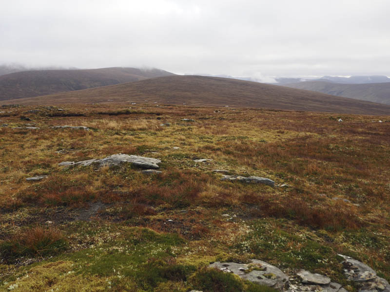
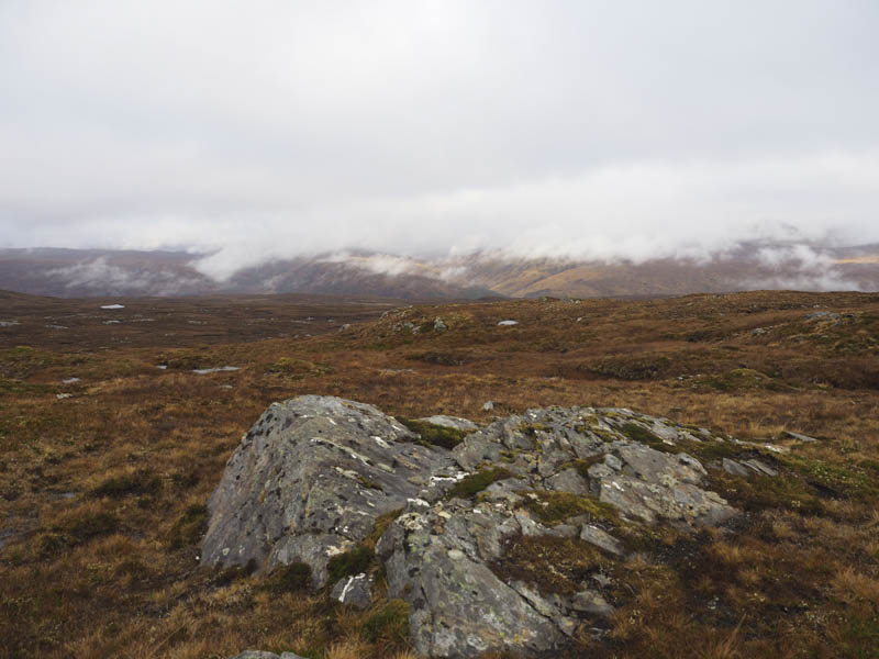
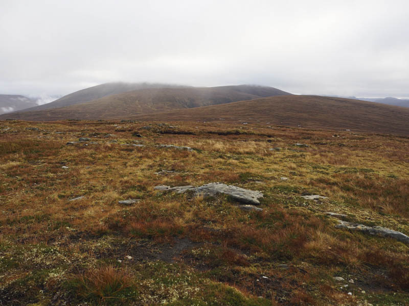
The same underfoot conditions were encountered as I descended east and again on the ascent of An Cabar. It was difficult to say where the highest point of this Tump was so I visited the tops of several peat hags.
It was possible to descend south-west to the A832 but I didn’t fancy the road walk back to my car so instead headed west below Carn na Garbh-lice where it was rough underfoot with some areas of tussocks and a few streams to cross but nothing too awkward. I later descended south-west to the deer fence near the start of this walk.
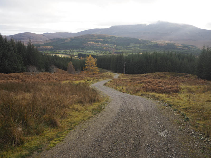
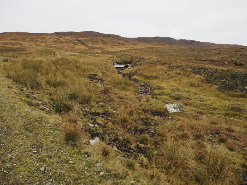
Carn Daraich – This Tump was located on the north side of Strath Bran and the A832 Achnasheen to Garve Road. I parked on the verge on the north side of this road at the start of a vehicle track leading into the forest west of Strathbran Lodge. (grid ref NH242613) A metal gate in the deer fence was padlocked so I had to climb over it to access the forest track which was followed north-east through the fir trees to a power station. The track then climbed fairly steeply through the forest to the west of the Allt Daraich later emerging from the trees onto the open hillside where the gradient eased.
The track led to a mini hydro dam but beyond it was wet and boggy and appeared little used by vehicles. There was also a section which was more like a stream.
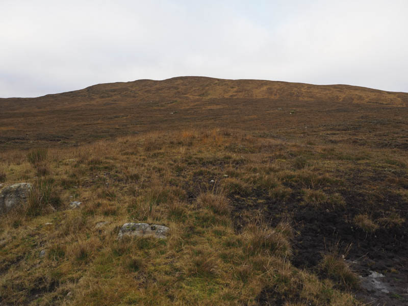
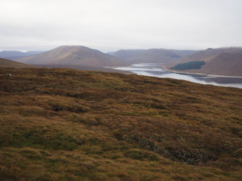
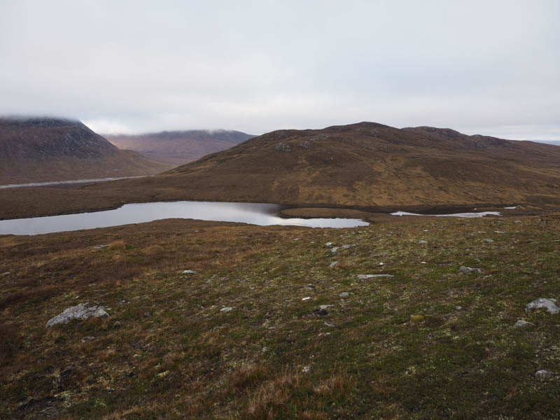
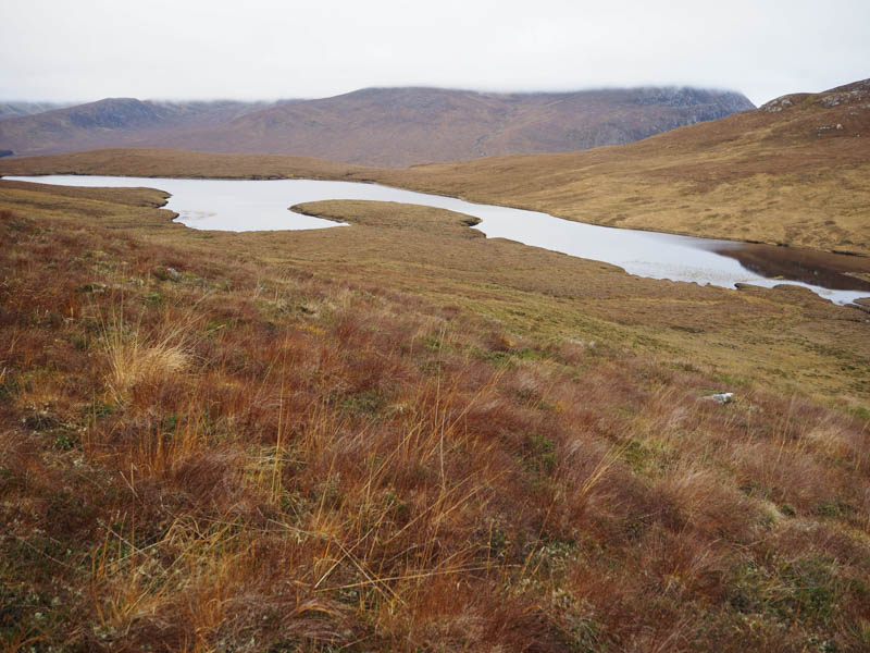
I continued along the track to just before Loch na Curra where I left it and headed west onto Carn Daraich. The climb was fairly easy until the final section which was like an obstacle course searching for a route through the pools of water and bog.
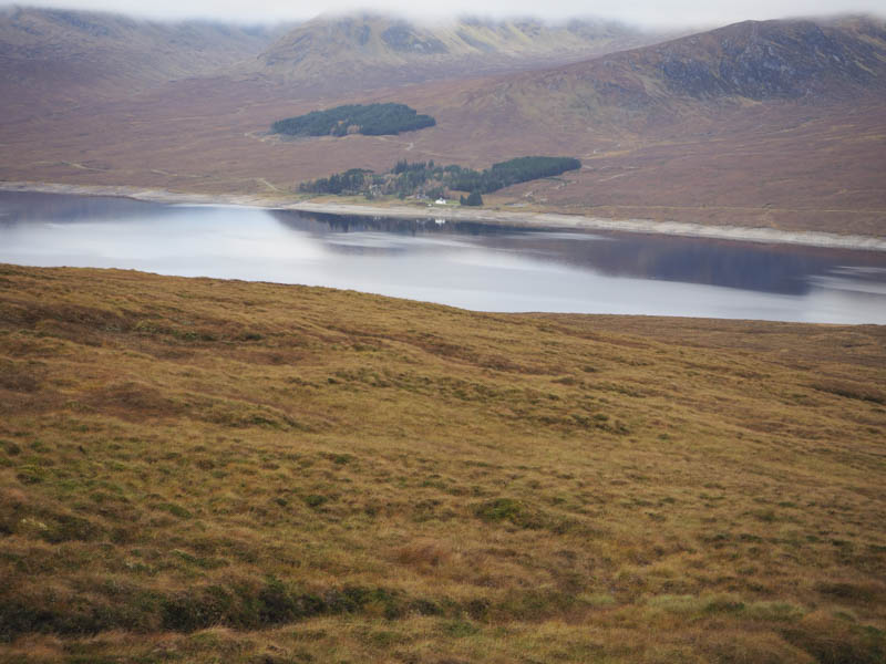
On reaching the small cairn marking its summit I had a late lunch with views across Loch Fannich although the Munros beyond were covered in cloud.
The descent was initially via the east ridge but lower down I cut across rough and wet vegetation to join the upward route north of the hydro dam. I then retraced the route back to the start.
- Total time – 6 hours.
- Total distance – 16.5 kilometres.
- Total height climbed – 755 metres.