I parked on the verge opposite Thain Road, Whitebridge, on the B862 Inverness to Fort Augustus Road, then walked north along this road for a couple of hundred metres to the start of a vehicle track. Once through the gate I briefly walked east to a slight left hand bend and a closed stock gate. Here I left the track and entered a field holding sheep and lambs.
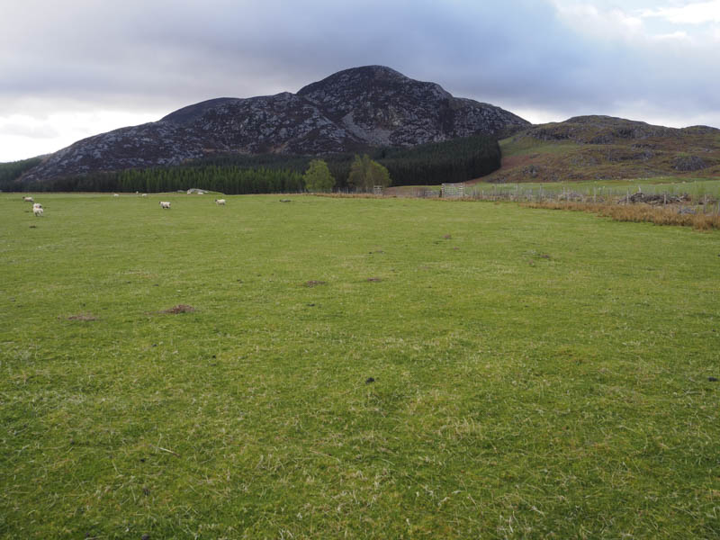
In fact I walked through a few fields, staying close to their edges to avoid disturbing the sheep too much, to reach a deer fence enclosing mature fir trees. The gradient here steepened as I walked round the west side then along the leveller south side of the trees to a height extended tidied down stock gate which I squeezed through.
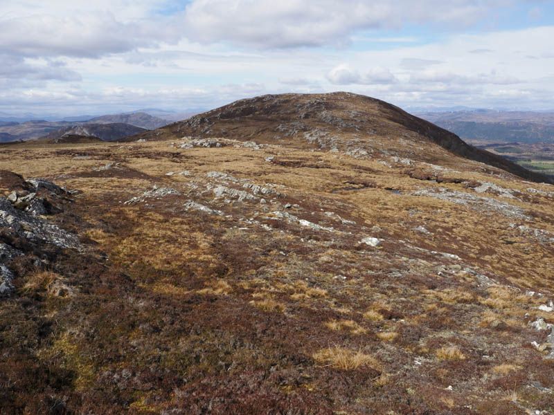
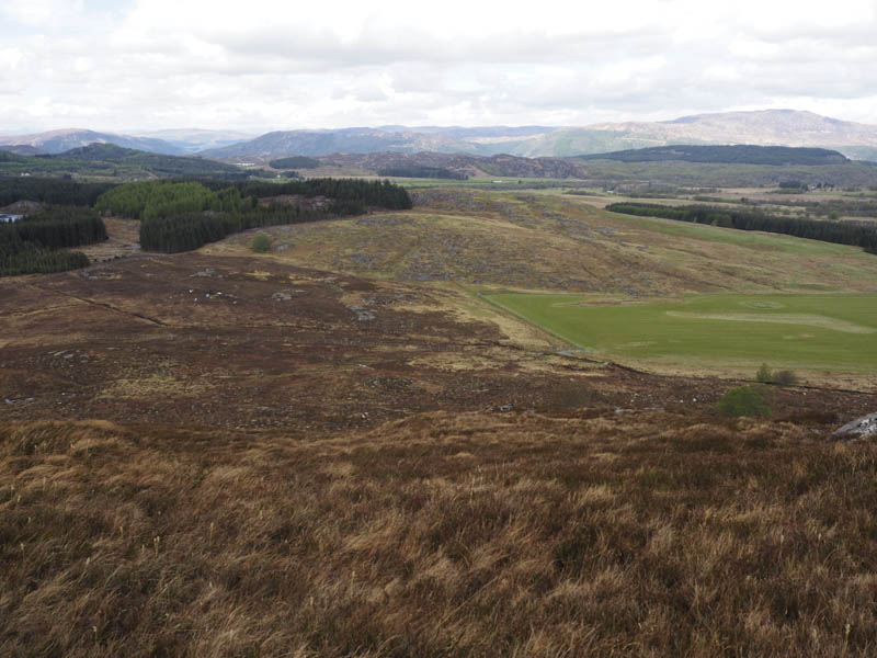
This took me into some long heather and to the foot of an obvious broad gully with lots of boulders at the sides and traces of a deer path through the heather. It was a fairly steep climb, at times made harder by the blinding sun forcing me to stop to look for the route ahead. Once out of the gully and to avoid the crags I worked my way round to the north-east side of Beinn Sgurrach before climbing to the summit of this Tump marked by an outcrop.
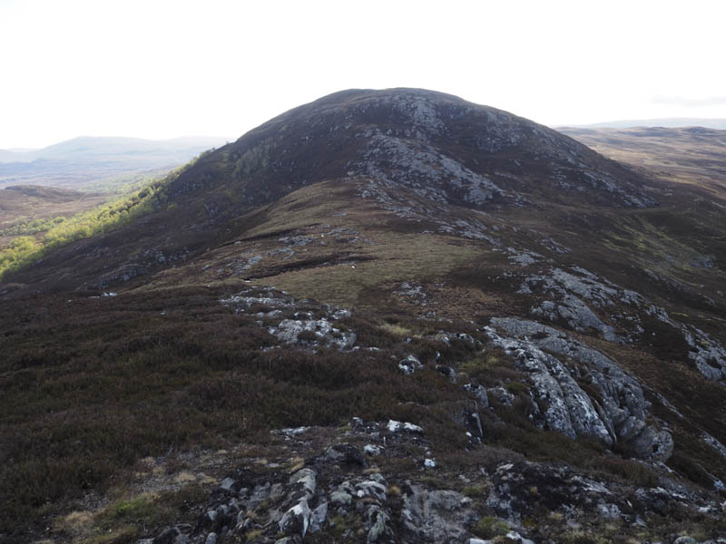
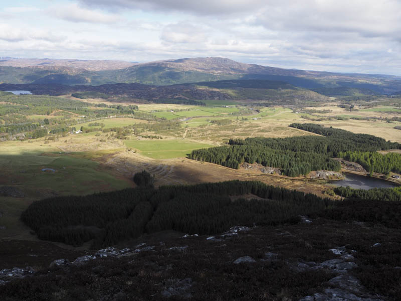
The descent south-east was along a rock ridge to the col with Leac nan Cisteachan followed by a fairly steep climb, avoiding the crags, before the gradient eased.
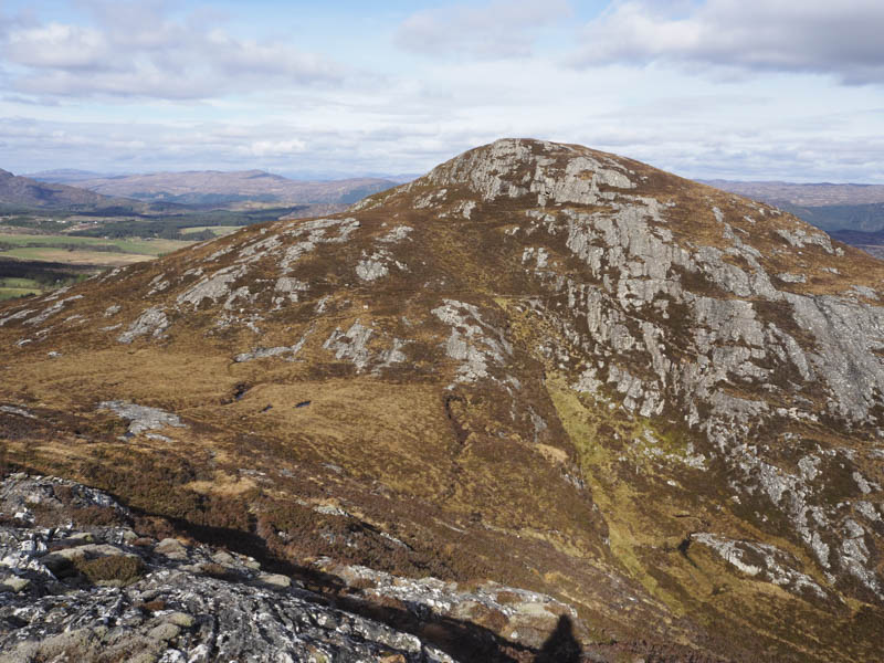
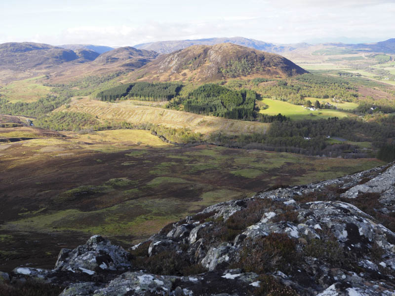
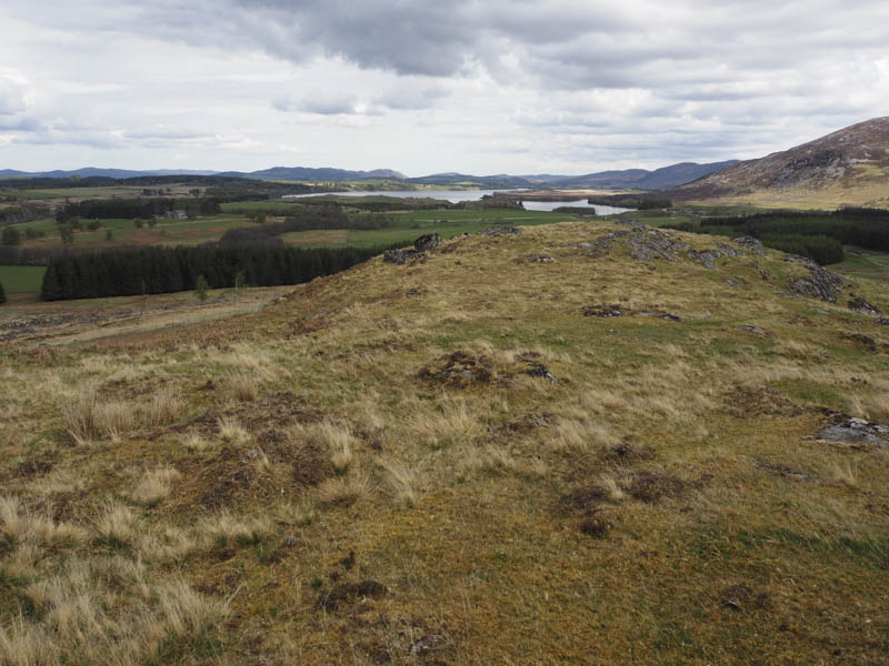
It was then through heather, there was also an old fence here, and onto the summit of the Tump, Leac nan Cisteachan. There were six cairns here the third and centre one was the highest.
After a break here I descended east through some peat hags then made the easy ascent south-east to the summit of the Sub Dodd, Carn Tubhainn. The highest point appeared to be an outcrop.
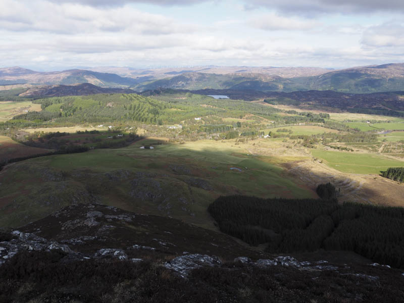
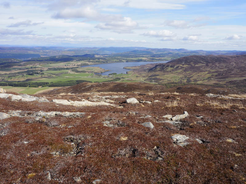
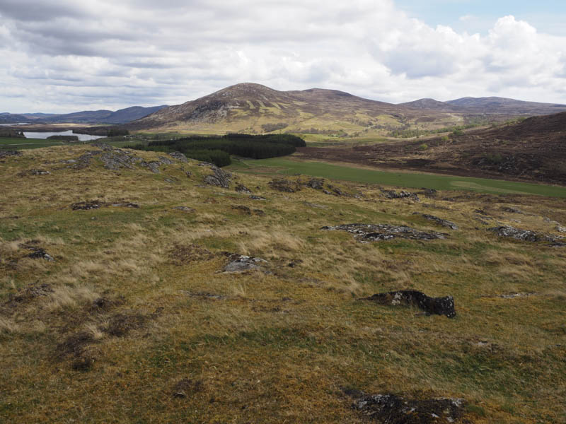
I descended north, easy enough despite some wet ground, to the well spaced silver birch trees on the south side of the col with Carn Gairbhthinn. Here there were a couple of short drops before crossing the col then a few metres further north a stock fence. It was then through heather onto the summit of the Tump, Carn Gairbhthinn, marked by an outcrop although another outcrop to the south was supposed to be as high.
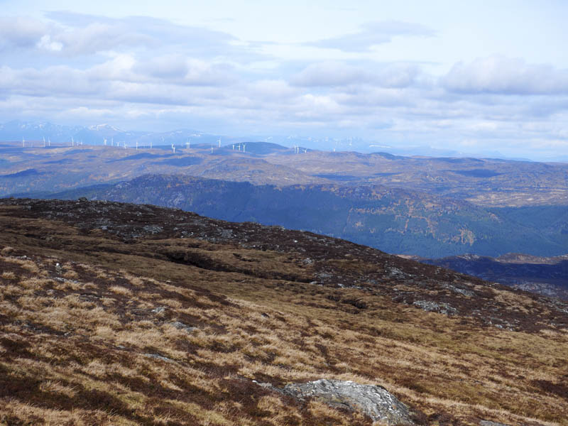
After visiting these outcrops it was a fairly long descent north-west and involved crossing a deer fence and through some new tree plantings with the usual holes although I did manage to avoid the majority of them by going over a knoll.
This led to a gate in the deer fence and a grassy field. On walking along the edge of this field and deer fence I came to an older deer fence with a collapsed section making for an easy crossing. I then ascended Carn Bhreabaig, the highest point of this Tump was an outcrop beside a cairn.
The direct route back to Whitebridge was blocked by a forest so I didn’t know if there was a route through the trees. I walked west to and crossed a deer fence and this took me into rough ground with a few trees. However beyond it an area had been harvested so all that was required was to find the access/egress route. This turned out to be a fire break which was surprisingly dry and firm and led to a rougher and muddier track beside a deer fence enclosing some young trees. This track was followed west but soon joined the vehicle track used earlier that the day, a short distance north-east of the point where I left it. I then returned along the track and road to Whitebridge.
- Time taken – 4.5 hours.
- Distance – 10 kilometres.
- Height climbed – 530 metres.