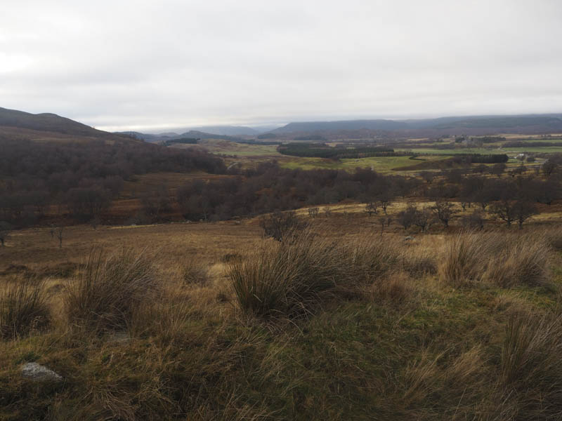
I drove south on the B862 Inverness to Fort Augustus Road to the south end of Loch Mhor then along the minor road to Garthbeg parking on a large area of ground at the end of the public road. Here I had a choice of roads and chose the vehicle track for Corriegarth Wind Farm but later joined the farm track as it crossed the bridge over the River E. Once across this bridge I went right and followed the estate track south-east on the east side of the river. Further on the estate track merged with the access track for the wind farm it having taken a longer route to a new bridge over the river.
This widened track continued south-east crossing a cattle grid and later to the east there was an electric fence.
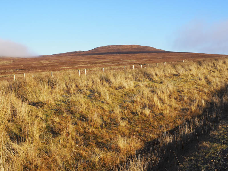
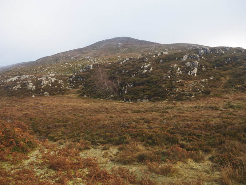
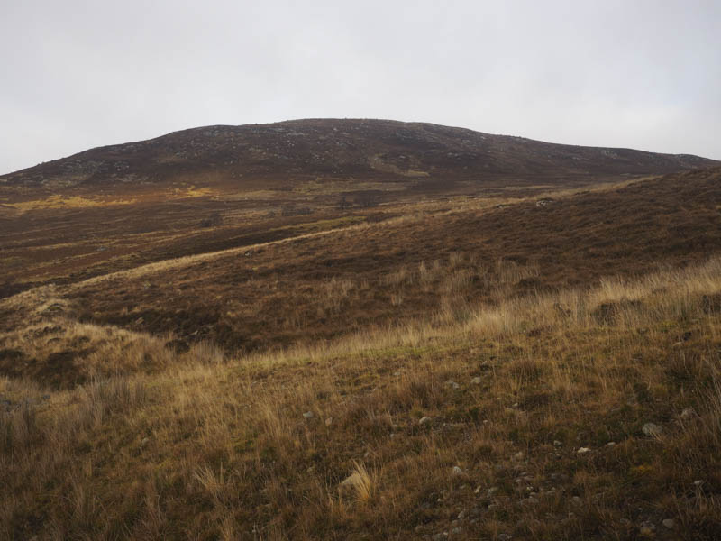
At NH532159 I came to a gate in this fence and once beyond it an ATV track headed north-east through the heather which was obviously managed for the grouse with the fence keeping animals out of the area. The track took me to another gate just to the west of Carn Choire Riabhaich and once through this gate I initially followed the electric fence east, there was some rough vegetation here, later leaving it and climbing towards the summit. It had been a pleasant mainly sunny morning although cloud was floating around a few of the nearby hills. Unfortunately just before reaching the highest point of this Hump, a large boulder beside the cairn, the hill was engulfed in cloud. There was also a trig point nearby.
I sat at the summit for some time but the cloud didn’t lift. I eventually gave up and descended south-east initially following the line of an old fence, then later the electric fence, to a gully just north of the col with Beinn Mheadhoin. The underfoot conditions were a bit rough here but I soon commenced the ascent of Beinn Mheadhoin as the cloud briefly broke.
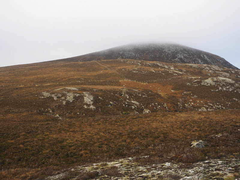
It was a steady climb through heather and rocks in limited visibility to reach the easterly cairn which was which was the highest point of this Tump.
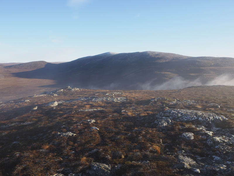
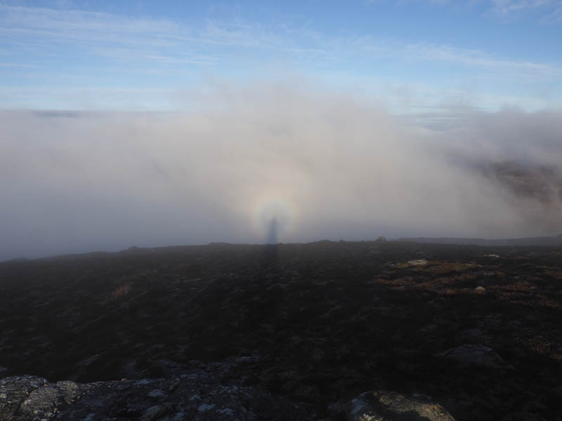
The cloud appeared to be clearing, there was a broken specter and a view east to the Corbett Top, Beinn Bhuraich, but it didn’t last, although I did remain at the summit for some time.
In the end I gave up and descended back towards the col then along the side of a stream crossing it several times. This led to the electric fence then the wind farm track which was followed back to the start.
- Time taken – 4.25 hours.
- Distance – 11.25 kilometres.
- Height climbed – 500 metres.