Carn Liath – The planned starting point for the ascent of this Tump was Wester Aberchalder, to the east of the B862 Errogie to Whitebridge Road and Loch Mhor. However on my arrival there were several no parking signs so I was forced to leave my car on the verge around half way back towards the B862.
I then walked back to the houses and buildings at Wester Aberchalder, passed through what appeared to be vacant farm buildings and followed a vehicle track south-east to premises occupied by Scottish Water. Here I entered and crossed a field of rough grass, bog myrtle, wet ground and paths used by the roe deer, disturbing a few of them as I headed towards a stile across a stock fence.
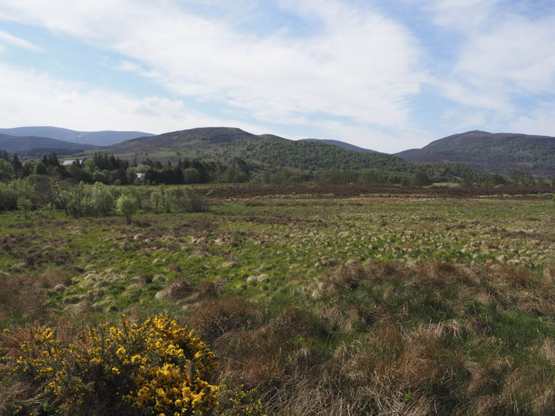
Beyond it I climbed through a mixture of heather, grass and a few rocks to reach the summit of Carn Liath, the highest point was probably a boulder at a junction of fences.
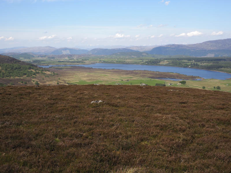
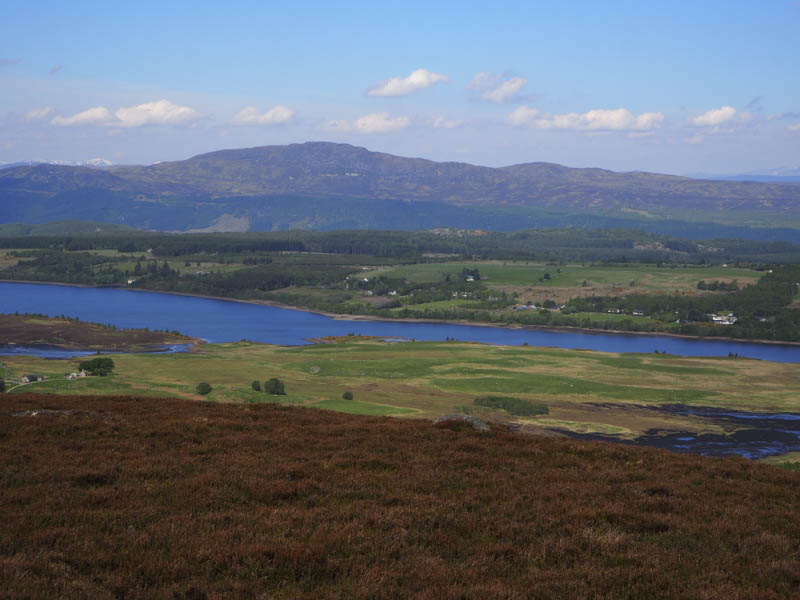
After an extended break here enjoying the views and the sun I returned by the ascent route.
Tom a’ Mhoid – I parked at the side of the track west of the minor road located north-west of the B862 Errogie to Whitebridge Road at Lochgarthside and opposite the vehicle track leading to the derelict property at North Murnich.
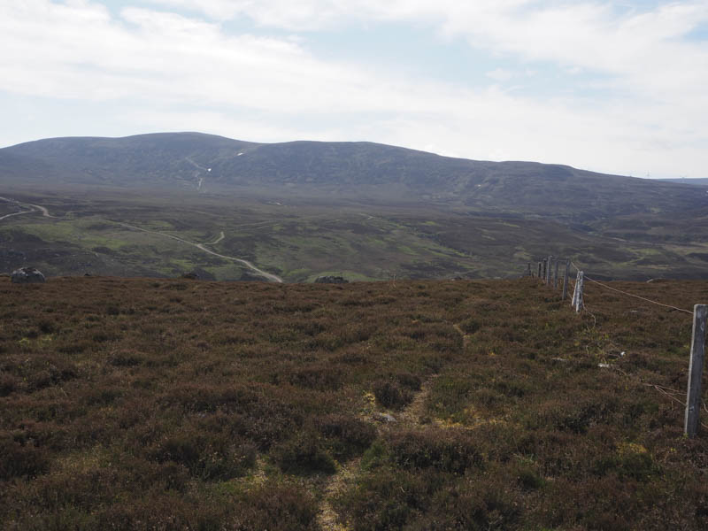
I crossed the minor road and a gate then followed the old vehicle track towards North Murnich but the track was wet and boggy and overgrown having obviously not been used for some time. There were cattle nearby so I crossed an old stone dyke which took me into more wet and boggy ground. I worked my way along this area then it was an easy climb through some trees to a deer fence.
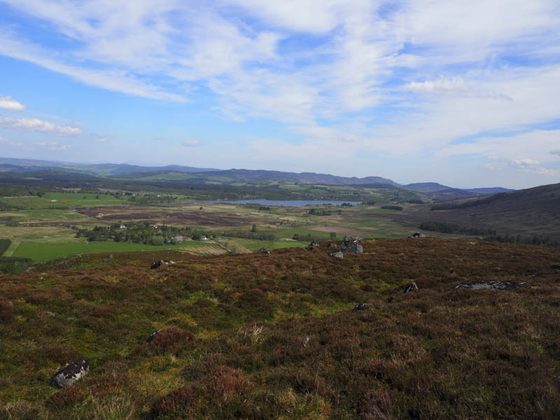
Once over this fence I expected to find the highest point of Tom a’ Mhoid within this enclosed area but was a little further east and on the other side of the deer fence. I re-crossed this fence, went over a stock fence and into well spaced tress where I located a moss covered boulder the highest point of this Tump.
The return route took me initially to the north of the field of cattle but I discovered they had free range to a number of fields as more cattle lay ahead. I therefore walked between the two herds without a problem and back to my car.
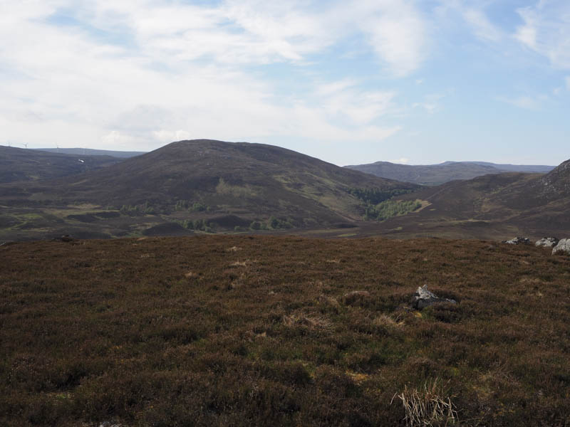
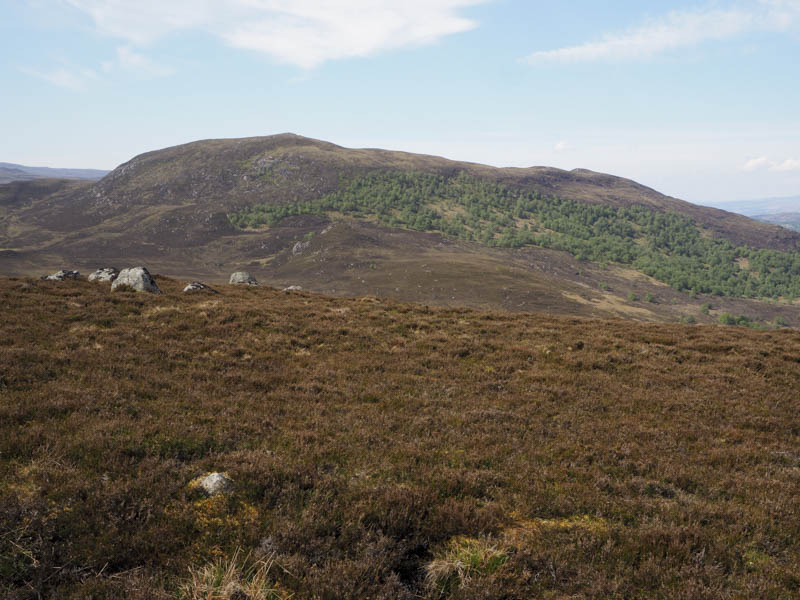
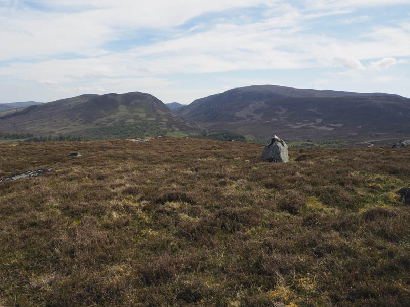
Carn Dubh – I parked at the junction of the minor road south of Gleann Liath, east of Foyers, and walked east before leaving the road and entering the forest. There were lots of fallen trees and brash to work round or cross then I was confronted by a mossy rock face. Initially I went south-west but there didn’t appear to be a suitable break so I returned and headed north-east eventually following deer tracks steeply through the mossy ground. The gradient then eased considerably as I made my way through more fallen trees to the outcrop marking the summit of the Tump, Carn Dubh.
The return was roughly by the upward route.
- Total time taken – 3.25 hours.
- Total distance – 7.5 kilometres.
- Total height climbed – 335 metres.