Knockali – I left my vehicle beside the phone box (used as a library) at Blacklunans, on the minor road running east from the A93 Braemar to Blairgowrie Road to Brewlands Bridge on the B951 Kirriemuir Road. I walked south-east along a vehicle track to a cottage where the track ran round the rear of the property to a stock gate. Beyond, the track soon disappeared in wet, marshy ground. I reached a ruin thinking there may be a track beyond but there wasn’t. Instead I walked through some well spaced trees and rough vegetation.
This led to a deer fence with lots of young trees and long rough vegetation between it and the properties at Drumfork. I therefore walked up the edge of the deer fence which was later replaced by a stock fence and electric wire. I crossed the stock fence, went under the electric wire and entered a grassy field containing young cattle.
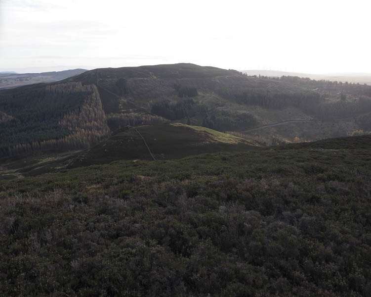
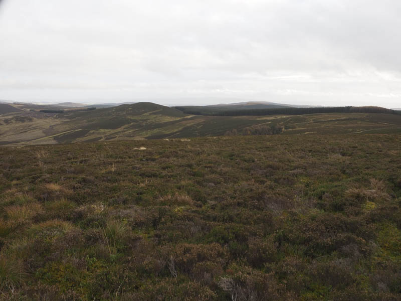
I headed across the field to a muddy vehicle track beside a pond. This track, its condition soon improved, was followed uphill passing some cattle which moved out of my way. I then passed through an open gate onto the hillside later leaving the track just before it split. There was an animal path through the heather then I walked round a small copse of trees to below the steep summit of Knockali which contained a few boulders. I continued round the east side of this Tump through long heather onto a quad vehicle track which took me to the top, the highpoint marked by a large rock.
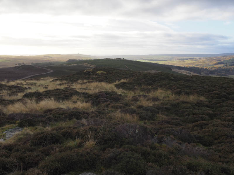
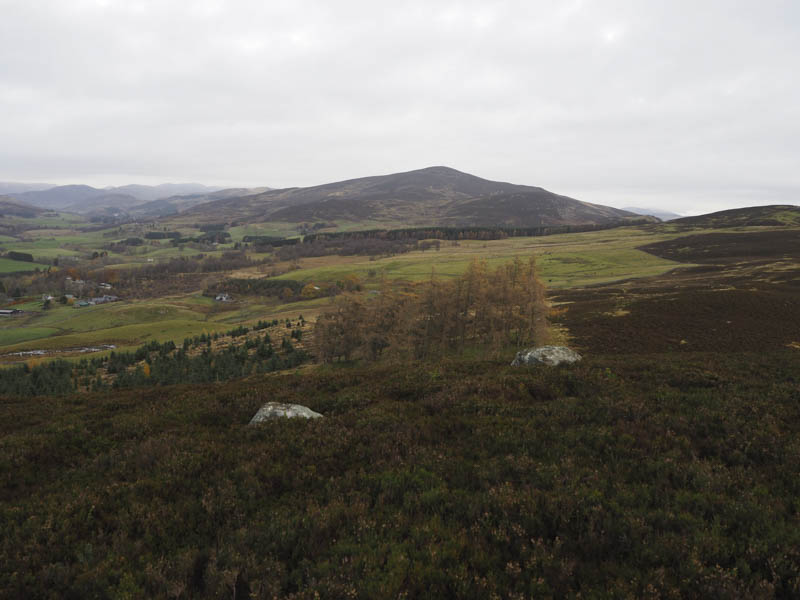
In pleasant calm conditions I took a mid-morning break here before returning to the muddy track beside the pond. From there I continued down the track to the property at Drumfork, passed the large house and several self catering establishments. I did meet a couple of estate staff but there were no questions regarding my presence. I could easily have been from one of the cottages where walking was encouraged with various paths nearby. The estate track was then followed back to the minor road around 500 metres south of Blacklunans.
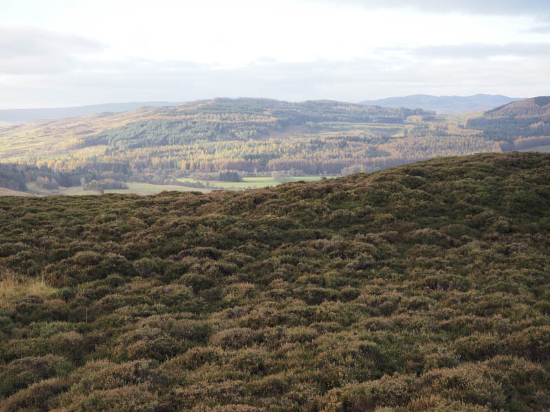
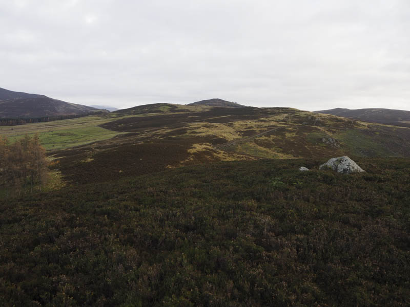
Over Craig – I left my vehicle at the start of a forest track on the minor road linking the A93 Braemar to Blairgowrie Road to Brewlands Bridge on the B951 Kirriemuir Road just west of the county boundary. I then crossed the road, a gate, a dyke topped with wire and walked round the east side of Nether Craig. The going was difficult through long heather concealing some of the numerous boulders to below Over Craig. It was then a fairly steep climb through the long heather and more boulders with progress very slow. Eventually I reached the summit of this Sub Dodd, marked by a cairn.
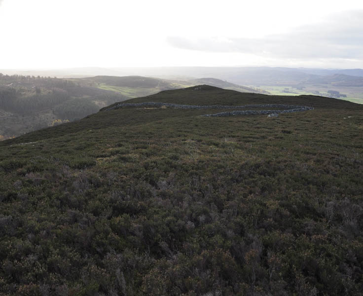
It had taken me forty minutes from the car but only twenty five on an easier return route. I initially descended east through the heather then followed grassy rakes back to near the start.
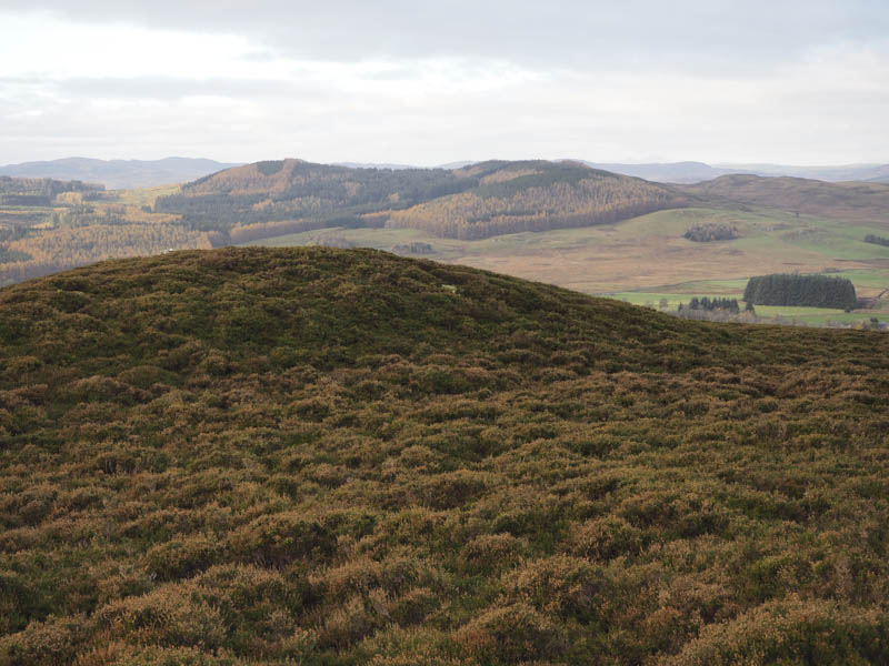
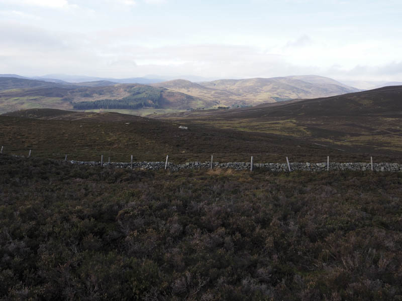
Cairn Gibbs – I parked beside a wooden shed on the minor Brewlands Bridge to Alyth Road just north of Auchinleish and walked west along a vehicle track to beyond a stock gate where the track came to an end. The path shown on my map didn’t appear to exist but there were several animal trails through the heather and wet ground. I later descended to and crossed the Craigness Burn where the ground on either side consisted of long grass and rushes. Beyond there was more heather as I climbed to summit of the Tump, Cairn Gibbs. The highest point was just some heather.
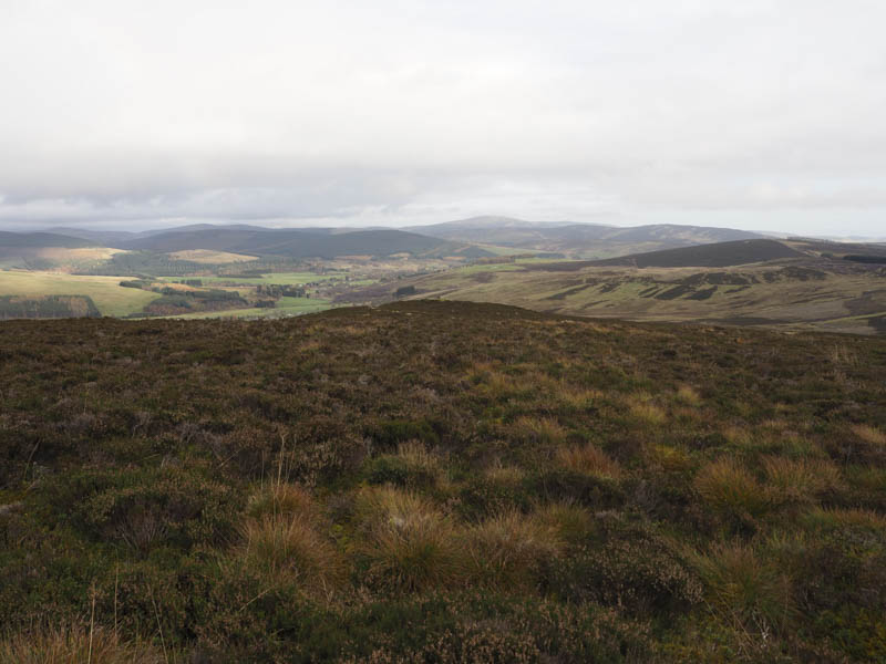
The earlier calm weather had been replaced by a cool breeze with showers nearby. I found shelter behind a dyke for lunch before making a more direct descent back to the start.
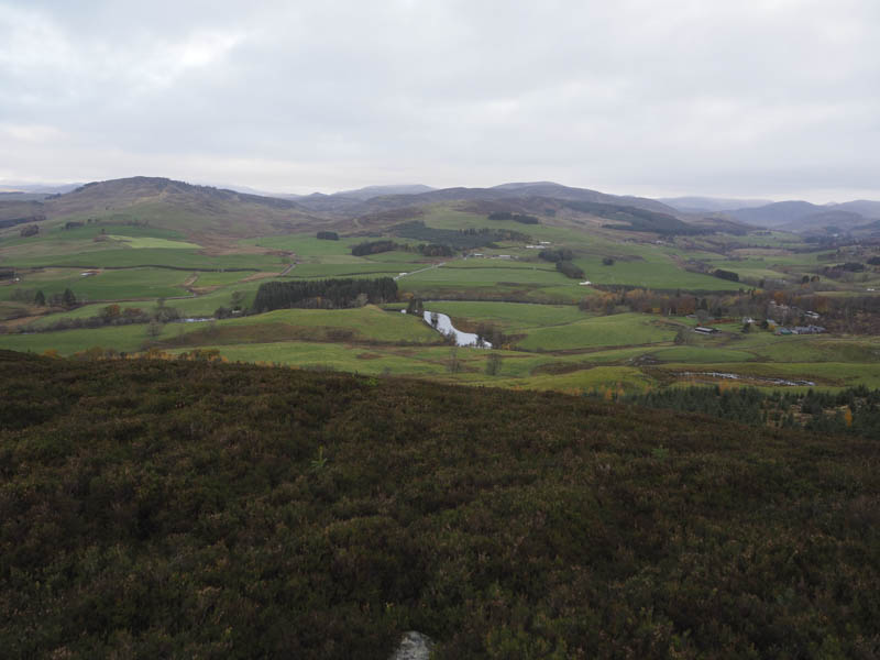
Black Briggs – This Tump was located within a forest to the south of the minor Netherton to Alyth Road, north of Blairgowrie, the road being part of the Cateran Trail. I left my car on some waste ground to the west of a double bend and immediately prior to a cattle grid then walked briefly west before crossing a set of wooden gates. Muddy vehicle tracks across a field led to a metal stock gate and once beyond it I was onto a grassy track heading south through a break in the trees. I soon came to another break going east and after climbing to near its highpoint I entered the fir trees. It was only a short walk through them, not too awkward getting passed the branches, to the summit of Black Briggs although the highest point wasn’t obvious.
I then made the easy descent along a drainage channel to exit the forest, walked round its north side to reach the metal stock gate and the short walk back to the car.
- Total time taken – 5 hours.
- Total distance – 12.75 kilometres.
- Total height climbed – 650 metres.